New Town

Settlement in Dorset

England

New Town

Crichel Mill on the River Allen
Crichel Mill on the River Allen Credit: Ian Andrews

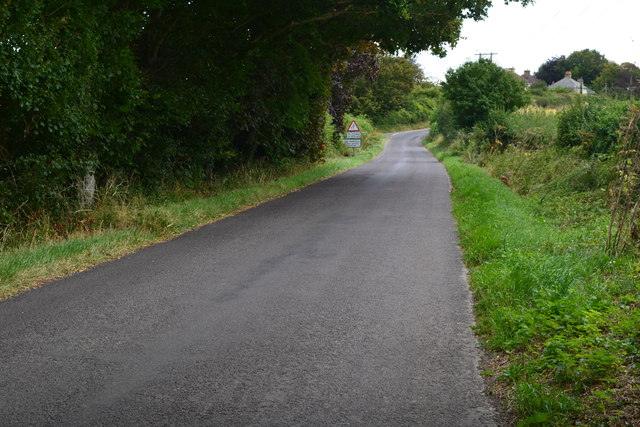
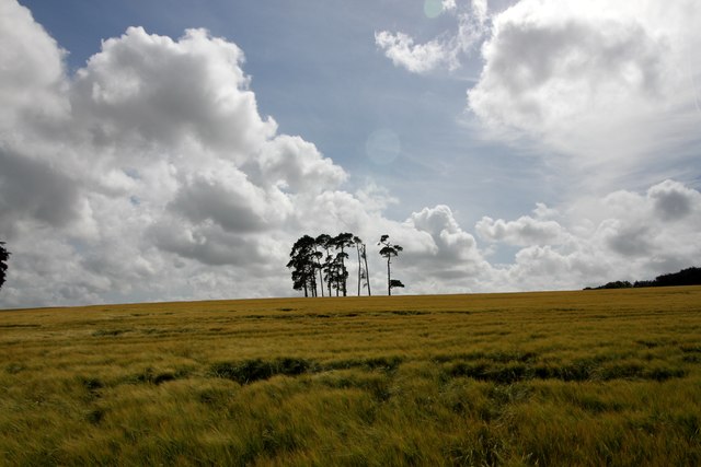
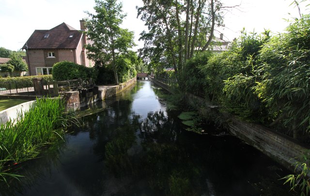
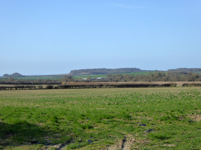
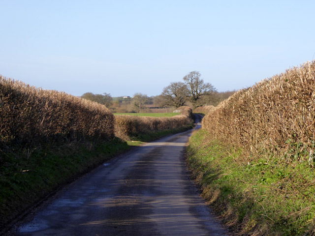
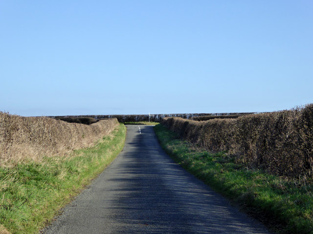
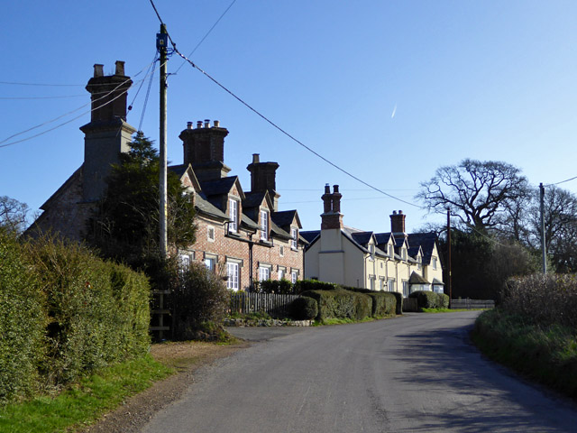
New Town is a picturesque village located in the county of Dorset, England. Situated in the scenic countryside, it offers a tranquil and charming atmosphere for residents and visitors alike. The village is nestled in a valley, surrounded by rolling hills and green meadows, creating a stunning natural backdrop.

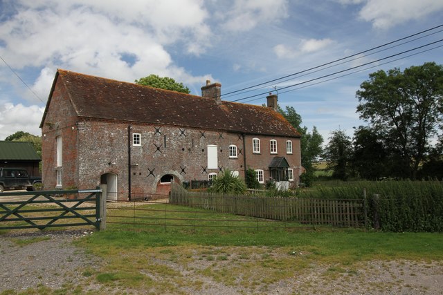
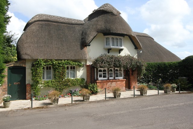
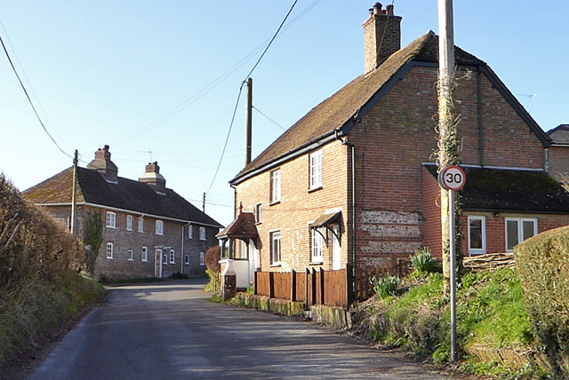
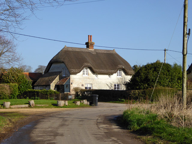
New Town is known for its rich history, dating back centuries. It has preserved its traditional architecture, with many buildings constructed from local stone, giving the village a timeless appeal. The village church, dedicated to St. Mary, stands proudly in the center, showcasing beautiful stained glass windows and intricate stonework.

Although relatively small in size, New Town boasts a close-knit community, fostering a strong sense of belonging and neighborliness. The village has a range of amenities to cater to the needs of its residents, including a local pub, a post office, and a village shop that stocks essentials.

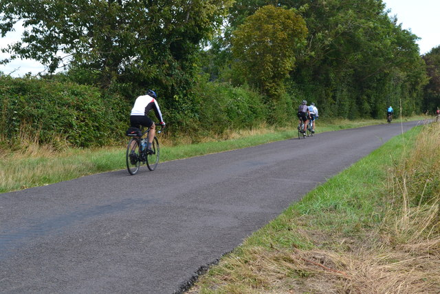
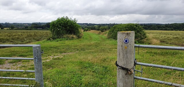
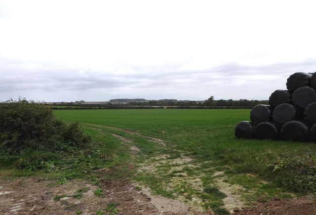
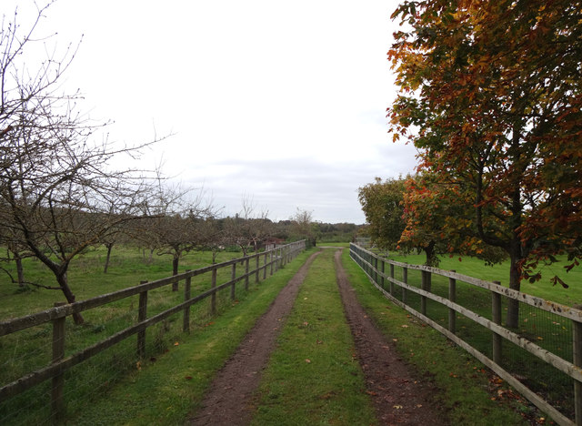
Nature enthusiasts will find themselves in paradise in New Town, as it offers easy access to stunning countryside walks and hiking trails. The surrounding area is teeming with wildlife, making it a popular destination for birdwatching and nature photography.

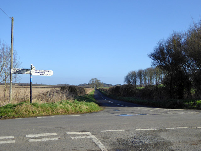
New Town is also within close proximity to several notable attractions. The nearby coastline provides opportunities for beach lovers, with sandy shores and clear waters just a short drive away. Additionally, the village is conveniently located near historic landmarks and cultural sites, making it an ideal base for exploring the wider Dorset region.

In conclusion, New Town is a charming village in Dorset, offering a peaceful retreat with a rich history and stunning natural surroundings. Whether you seek tranquility, outdoor adventures, or cultural exploration, this idyllic village has something to offer for everyone.

If you have any feedback on the listing, please let us know in the comments section below.

New Town Images

Images are sourced within 2km of 50.862777/-2.0121539 or Grid Reference ST9907. Thanks to Geograph Open Source API. All images are credited.

Crichel Mill on the River Allen
River Allen, near Didlington Mill On a beautiful, warm day in July, it was a pleasure standing by this gorgeous chalk stream, watching the brown trout and counting the damsel flies.
River Allen, near Didlington Mill
On a beautiful, warm day in July, it was a pleasure standing by this gorgeous chalk stream, watching the brown trout and counting the damsel flies.
Lane to Hinton Martell
Cyclists on the lane to Hinton Martell
Footpath towards New Town
Farmland south of Witchampton Lane The hay has been wrapped in plastic and stacked for the coming winter.
Farmland south of Witchampton Lane
The hay has been wrapped in plastic and stacked for the coming winter.
High Lea Dairy An orchard and farm track alongside High Lea Dairy.
High Lea Dairy
An orchard and farm track alongside High Lea Dairy.
Pines in Barley Shame about the asymmetric shape of the pines.
Pines in Barley
Shame about the asymmetric shape of the pines.
Cottage, New Town Thatched cottages always look wonderful in the sun but personally the thought of all those spiders puts me off!
Cottage, New Town
Thatched cottages always look wonderful in the sun but personally the thought of all those spiders puts me off!
River Allen, New Town There are lots of relatively new, rather smart homes beside the River Allen at New Town.
River Allen, New Town
There are lots of relatively new, rather smart homes beside the River Allen at New Town.
Country south of Witchampton Lane High Wood on King Down is in the distance.
Country south of Witchampton Lane
High Wood on King Down is in the distance.
Houses on Lower Street, Witchampton
Fountain, Witchampton A grade II listed 'building'. Spring fed, probably 18th century.
Fountain, Witchampton
A grade II listed 'building'. Spring fed, probably 18th century.
Lane towards King Down Signed as a no through road on an old fingerpost, it is only so if a left turn is made towards King Down at a junction ahead. A right turn loops back to the lane network.
Lane towards King Down
Signed as a no through road on an old fingerpost, it is only so if a left turn is made towards King Down at a junction ahead. A right turn loops back to the lane network.
Crossroads west of Witchampton The road straight on is Roman as it that behind the camera.
Crossroads west of Witchampton
The road straight on is Roman as it that behind the camera.
A Roman road The Romans continued straight on at the junction ahead, but the next section has fallen into total disuse.
A Roman road
The Romans continued straight on at the junction ahead, but the next section has fallen into total disuse.
Nicky House Cottage Formerly two cottages, grade II listed, around 1800.
Nicky House Cottage
Formerly two cottages, grade II listed, around 1800.
Cottages, Primrose Hill Looking very like estate cottages.
Cottages, Primrose Hill
Looking very like estate cottages.
Show me another place!

New Town is located at Grid Ref: ST9907 (Lat: 50.862777, Lng: -2.0121539)

Unitary Authority: Dorset

Police Authority: Dorset

What 3 Words

///behalf.human.lonely. Near Sturminster Marshall, Dorset

Related Wikis

Witchampton

Witchampton is a village and civil parish in East Dorset, England, situated on the River Allen 5 miles (8 km) north of Wimborne Minster. The 2011 census...

Crichel House

Crichel House is a Grade I listed, Classical Revival country house near the village of Moor Crichel in Dorset, England. The house has an entrance designed...

Moor Crichel

Moor Crichel () is a village and former civil parish, now in the parish of Crichel, in East Dorset, England situated on Cranborne Chase five miles east...

Bryanston SSSI, Dorset

Bryanston SSSI (grid reference ST974070) is a 0.3 hectare biological Site of Special Scientific Interest in Dorset, England notified in 1977. It is used...

Hinton Martell

Hinton Martell (also known as Hinton Martel) is a village and former civil parish, now in the civil parish of Hinton, in the county of Dorset in southern...

Badbury Hundred

Badbury Hundred was a hundred in the county of Dorset, England, which took its name from the earthwork of Badbury Rings. It contained the following parishes...

Chalbury

Chalbury is a village in the English county of Dorset. It lies on the southern edge of Cranborne Chase within the East Dorset administrative district of...

All Saints' Church, Chalbury

All Saints' Church is a Church of England church in Chalbury, Dorset, England. It has 13th-century origins, with later alterations and additions, and many...

Nearby Amenities

Located within 500m of 50.862777,-2.0121539
Bench
Lat/Long: 50.8641404/-2.0166143
Post Box
Post Box Type: lamp
Ref: BH21 100
Ref GB Uprn: 10015478460
Lat/Long: 50.863251/-2.0118189
Material: wood
Power: pole
Source: bing
Lat/Long: 50.8592881/-2.0111178
Material: wood
Poles: bipole
Power: pole
Source: bing
Lat/Long: 50.8605257/-2.0119869
Material: wood
Power: pole
Source: bing
Lat/Long: 50.8608999/-2.013395
Material: wood
Power: pole
Source: bing
Lat/Long: 50.8612317/-2.0122363
Material: wood
Power: pole
Source: bing
Lat/Long: 50.8613096/-2.0149105
Material: wood
Power: pole
Source: bing
Lat/Long: 50.8613486/-2.0108147
Material: wood
Power: pole
Source: bing
Lat/Long: 50.861484/-2.0094334
Material: wood
Power: pole
Source: bing
Lat/Long: 50.8617159/-2.0067512
Material: wood
Power: pole
Source: bing
Lat/Long: 50.8617498/-2.0165064
Material: wood
Power: pole
Source: bing
Lat/Long: 50.8618057/-2.0140334
Material: wood
Power: pole
Source: bing
Lat/Long: 50.8618311/-2.0054879
Material: wood
Poles: bipole
Power: pole
Source: bing
Lat/Long: 50.8621713/-2.018113
Material: wood
Power: pole
Source: bing
Lat/Long: 50.8622983/-2.0134701
Material: wood
Power: pole
Source: bing
Lat/Long: 50.8628333/-2.0186602
Barrier: sally_port
Lat/Long: 50.8634553/-2.0116034
The data included in this document is from www.openstreetmap.org. The data is made available under ODbL.

Have you been to New Town?

Leave your review of New Town below (or comments, questions and feedback).