Town, New
Settlement in Dorset
England
Town, New
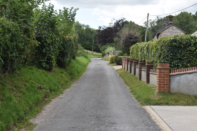
Town, New Dorset, is a charming coastal town located in the southern region of Dorset County, England. Nestled between rolling hills and the picturesque English Channel, this town offers a tranquil and idyllic setting for both residents and visitors alike.
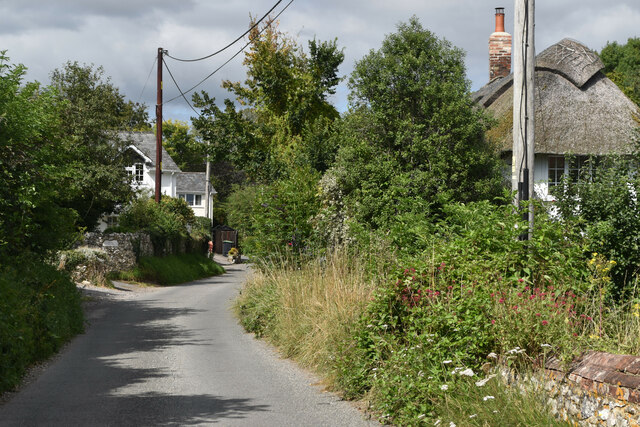
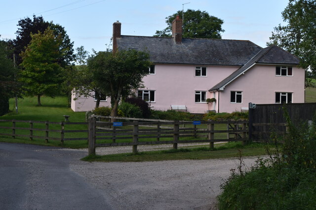
With a population of approximately 10,000, Town, New Dorset maintains a close-knit community atmosphere. Its history dates back to the 12th century, evident in the town's well-preserved architecture and historic landmarks. The town center is adorned with quaint cobblestone streets, lined with local shops, cafes, and traditional pubs that exude a distinct English charm.
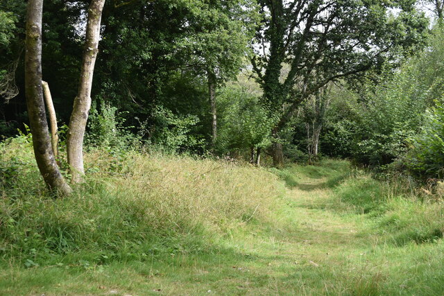
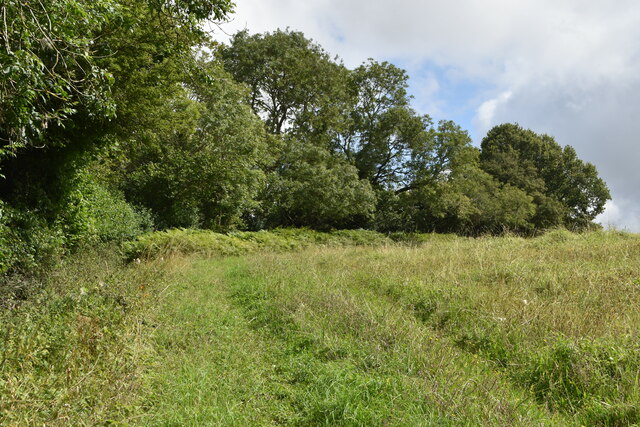
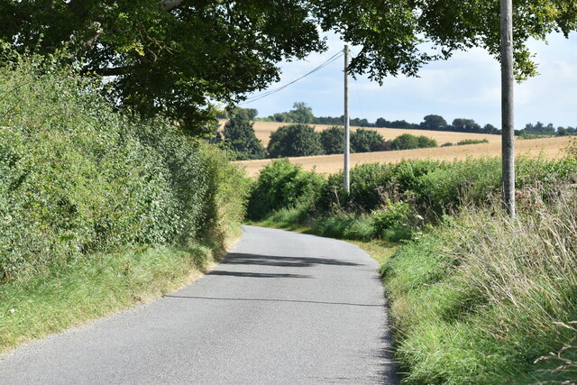
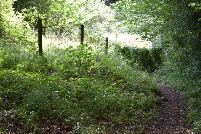
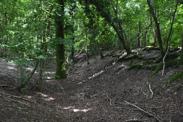
Nature lovers will be delighted by the town's scenic beauty. The stunning coastline offers breathtaking views and is a popular spot for leisurely walks along the promenade. Additionally, the nearby rolling hills provide ample opportunities for hiking and outdoor activities.
Town, New Dorset boasts a rich cultural heritage, with several museums and art galleries showcasing local history and contemporary works. The annual Town Festival is a highlight of the town's social calendar, featuring live music, food stalls, and traditional festivities that attract both locals and tourists.
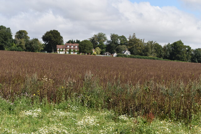
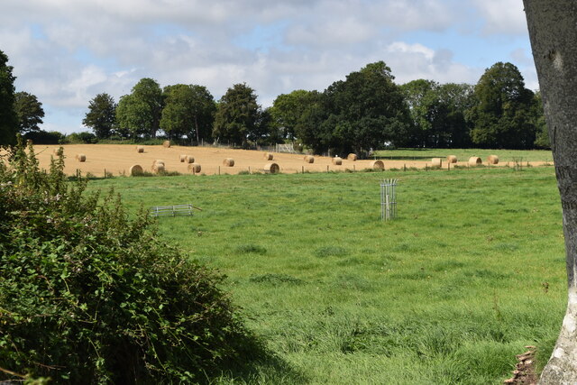
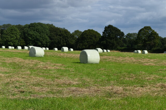
The town's economy predominantly relies on tourism, as well as agriculture and small-scale industries. It has a well-connected transportation system with regular bus services and a nearby train station, making it easily accessible for visitors from neighboring towns and cities.
In summary, Town, New Dorset offers a tranquil and picturesque escape for those seeking a quintessential English coastal experience. With its charming architecture, stunning natural landscapes, and vibrant community spirit, it truly captures the essence of Dorset's unique heritage.
If you have any feedback on the listing, please let us know in the comments section below.
Town, New Images
Images are sourced within 2km of 50.969579/-2.0179074 or Grid Reference ST9818. Thanks to Geograph Open Source API. All images are credited.


Town, New is located at Grid Ref: ST9818 (Lat: 50.969579, Lng: -2.0179074)
Unitary Authority: Dorset
Police Authority: Dorset
What 3 Words
///rejoins.palms.lasts. Near Bower Chalke, Wiltshire
Nearby Locations
Related Wikis

Garston Wood
Garston Wood is a 34-hectare (84-acre) woodland nature reserve on the border between Dorset and Wiltshire in England, around 3 km (2 mi) north of the village...

Sixpenny Handley
Sixpenny Handley or Handley is a village and former civil parish, now in the parish of Sixpenny Handley and Pentridge, in north east Dorset, England,...

Cranborne Chase and West Wiltshire Downs
Cranborne Chase and West Wiltshire Downs is an Area of Outstanding Natural Beauty (AONB) covering 379 square miles (980 km2) of Dorset, Hampshire, Somerset...

Cranborne Chase
Cranborne Chase (grid reference ST970180) is an area of central southern England, straddling the counties Dorset, Hampshire and Wiltshire. It is part of...

Sixpenny Handley Hundred
Sixpenny Handley Hundred was a hundred in the county of Dorset, England. It originally consisted of two distinct hundreds: Sexpena and Hanlega. Sometime...

Woodcutts Settlement
Woodcutts Settlement is an archaeological site of the late Iron Age and Romano-British period on Cranborne Chase, England. It is situated about 1 mile...

Woodcutts
Woodcutts is a hamlet within the parish of Sixpenny Handley and is located in the north of Dorset, near to the Wiltshire border. Originally named "Woodcotes...

Wor Barrow
Wor Barrow is a Neolithic long barrow on Cranborne Chase, about 1 mile (1.6 km) east of Sixpenny Handley in Dorset, England. It is a scheduled monument...
Nearby Amenities
Located within 500m of 50.969579,-2.0179074Have you been to Town, New?
Leave your review of Town, New below (or comments, questions and feedback).