New Sprowston
Settlement in Norfolk Norwich
England
New Sprowston
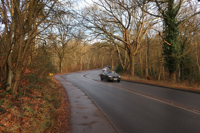
New Sprowston is a small village located in Norfolk, England. Situated approximately four miles to the north-east of Norwich, it falls within the administrative district of Broadland. The village is surrounded by picturesque countryside and offers a tranquil setting for its residents.
New Sprowston has a rich history dating back several centuries. It was originally established as an agricultural settlement and later developed into a thriving community. Today, it retains its rural charm while also benefiting from its close proximity to the amenities of Norwich.
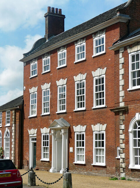
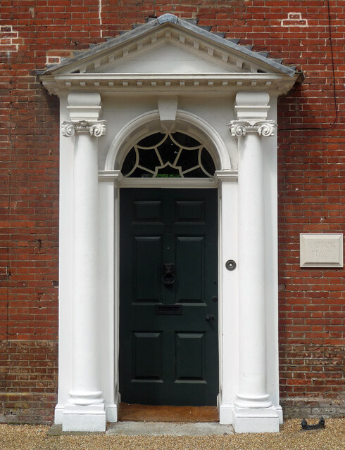
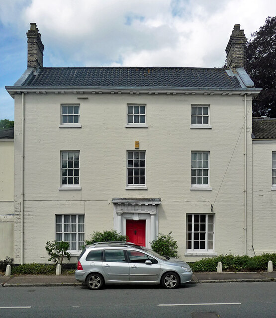
The village features a mix of traditional and modern architecture, with a variety of housing options available. The properties range from quaint cottages to more contemporary homes, providing a diverse range of living arrangements for residents. The village also boasts a number of green spaces, including parks and playing fields, providing opportunities for outdoor activities and recreational pursuits.
New Sprowston has a strong sense of community, with several local organizations and clubs active in the area. These include sports teams, social clubs, and community events that bring residents together. The village also has a primary school, ensuring that families have access to quality education for their children.
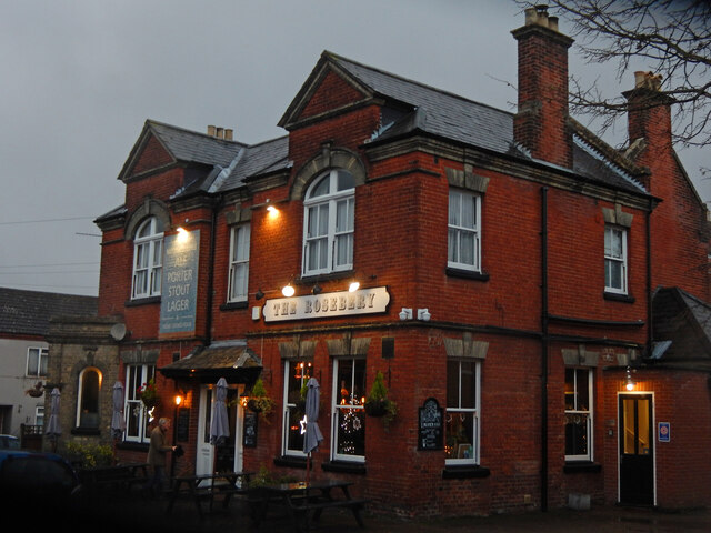
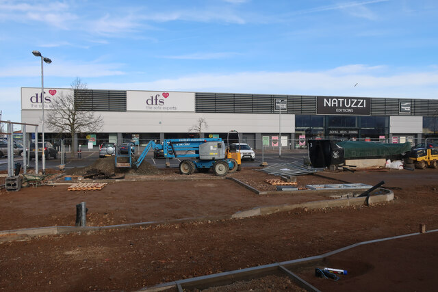
In terms of amenities, New Sprowston has a convenience store, a post office, and a few local businesses. For more extensive shopping, entertainment, and dining options, residents can easily access the nearby city of Norwich, which offers a wide range of amenities just a short distance away.
Overall, New Sprowston is a peaceful and well-connected village that offers a high quality of life for its residents, combining the tranquility of rural living with the convenience of nearby urban amenities.
If you have any feedback on the listing, please let us know in the comments section below.
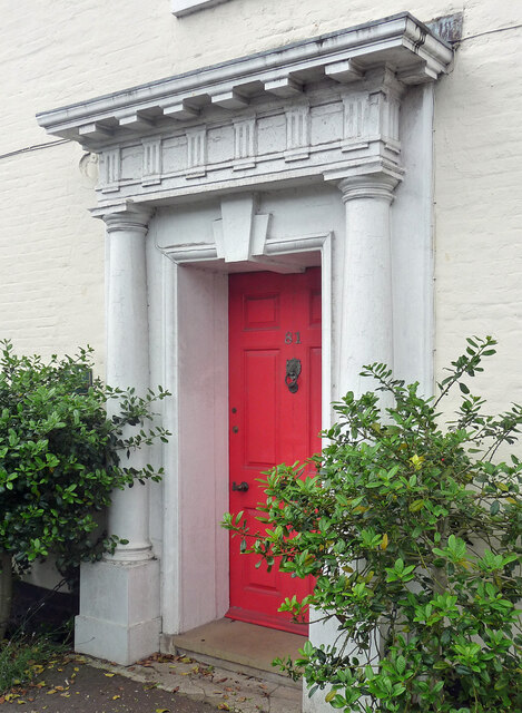
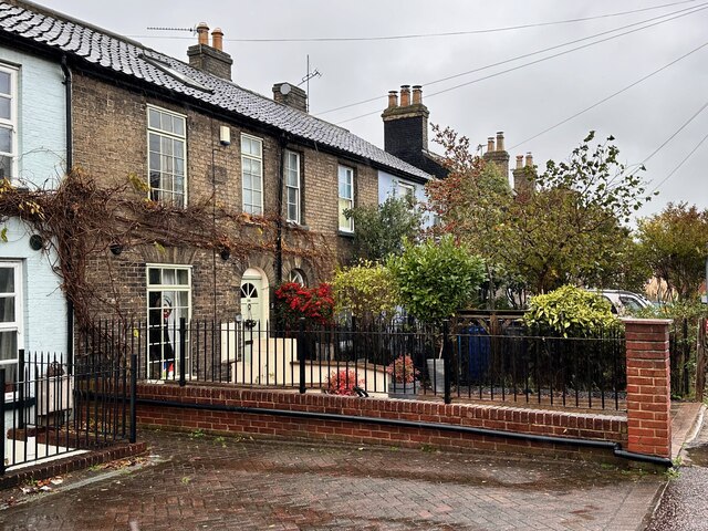
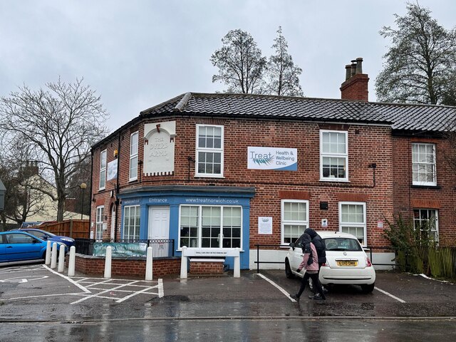
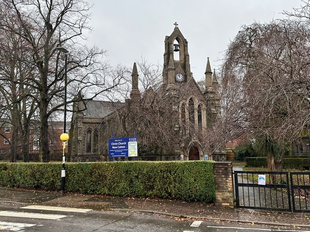
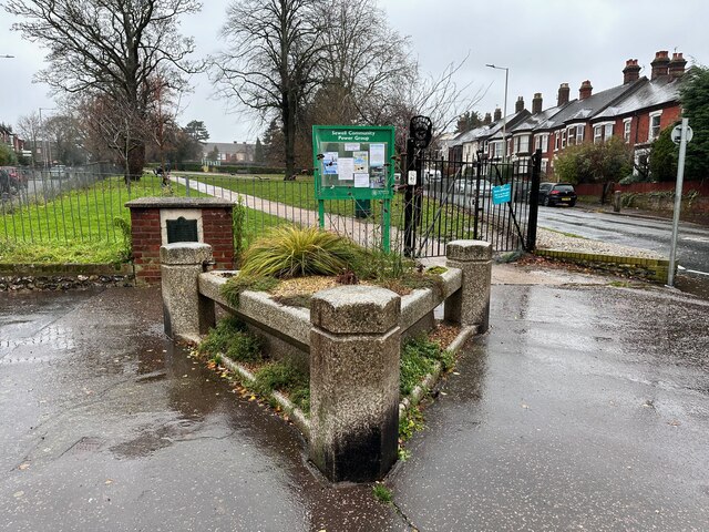
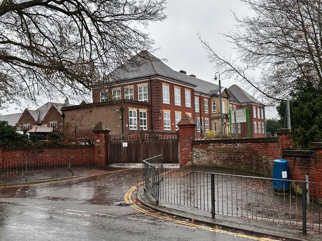
New Sprowston Images
Images are sourced within 2km of 52.649558/1.3028482 or Grid Reference TG2310. Thanks to Geograph Open Source API. All images are credited.


New Sprowston is located at Grid Ref: TG2310 (Lat: 52.649558, Lng: 1.3028482)
Administrative County: Norfolk
District: Norwich
Police Authority: Norfolk
What 3 Words
///answer.point.hips. Near Norwich, Norfolk
Nearby Locations
Related Wikis

Norwich North (UK Parliament constituency)
Norwich North is a constituency represented in the House of Commons of the UK Parliament since 2009 by Conservative Chloe Smith.The constituency includes...

Sewell Park Academy
Sewell Park Academy is a secondary school located on the north-eastern edge of the city of Norwich, Norfolk, England. == Admissions == It has approximately...

Sewell Park, Norwich
Sewell Park is a triangular park between Constitution Hill and St. Clement's Hill in Norwich, Norfolk, England. The park was given to the Norwich Corporation...
Fat Cat Brewery
The Fat Cat Brewery is a brewery located at the Fat Cat Brewery Tap, Lawson Road, Norwich in the English county of Norfolk. The brewery is owned by Colin...

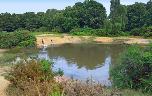
Catton Grove Chalk Pit
Catton Grove Chalk Pit is a 0.6-hectare (1.5-acre) geological Site of Special Scientific Interest on the northern outskirts of Norwich in Norfolk. It is...

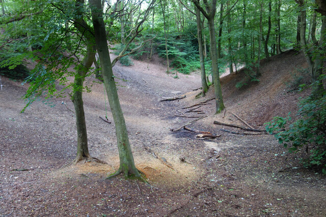
Mousehold Heath
Mousehold Heath is a freely accessible area of heathland and woodland which lies to the north-east of the medieval city boundary of Norwich, in Norfolk...
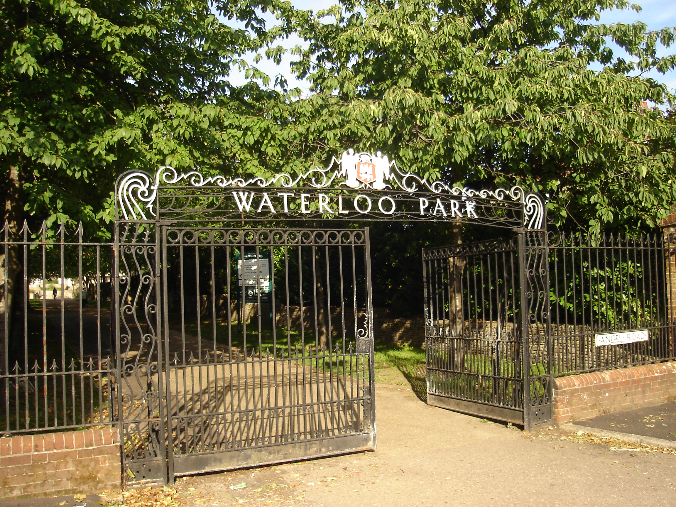
Waterloo Park, Norwich
Waterloo Park is a Grade II* listed public park in Norwich, Norfolk. It forms one of a set of public parks established in Norwich in the 1930s by Captain...

Old Catton
Old Catton is a suburban village and civil parish in the English county of Norfolk which lies 2 miles (3.2 km) to the north-east of central Norwich. The...
Nearby Amenities
Located within 500m of 52.649558,1.3028482Have you been to New Sprowston?
Leave your review of New Sprowston below (or comments, questions and feedback).