Berrington Green
Settlement in Worcestershire
England
Berrington Green

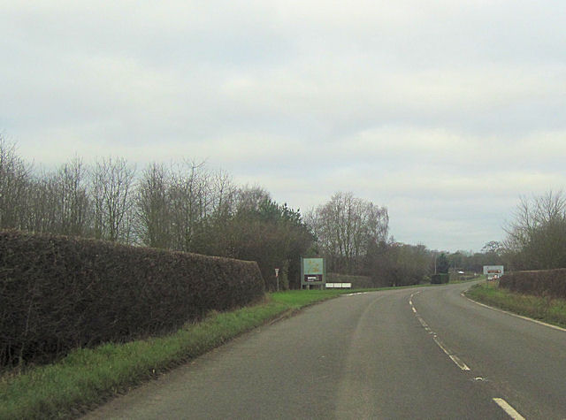
Berrington Green is a charming village located in Worcestershire, England. Situated in the Malvern Hills District, it is surrounded by beautiful countryside and offers a peaceful and idyllic setting for its residents. The village is located approximately 7 miles south of the city of Worcester.
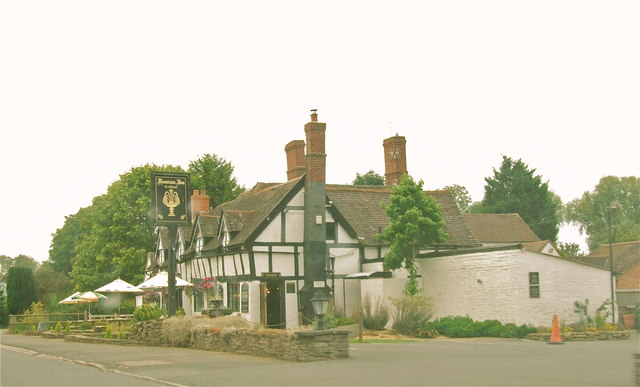
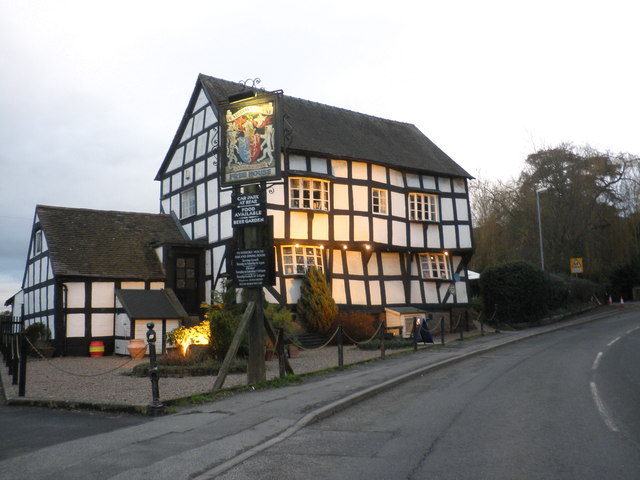
The heart of Berrington Green is its traditional village green, which serves as a central gathering place for local events and community activities. The green is lined with picturesque cottages and a few small businesses, creating a quaint atmosphere that is typical of rural English villages.
The village boasts a close-knit community, where residents often engage in friendly interactions and support one another. The local primary school plays a significant role in fostering this community spirit, with many families actively involved in school events and activities.
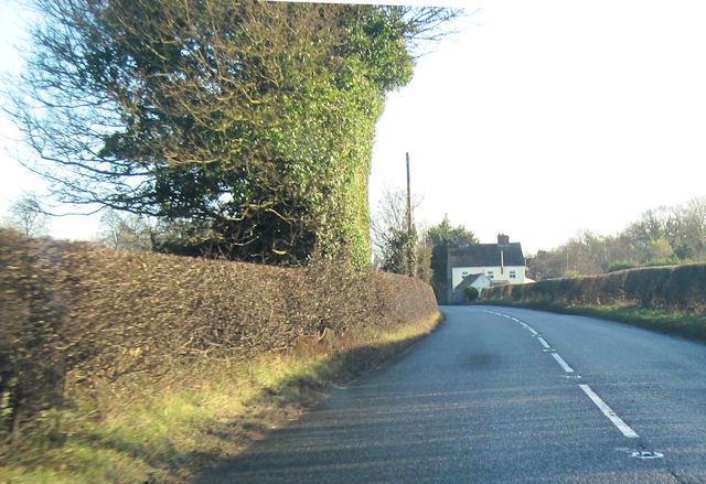
Nature enthusiasts will find themselves in paradise in Berrington Green, as the surrounding area offers ample opportunities for outdoor pursuits. The nearby Malvern Hills provide stunning panoramic views and are a haven for hikers, mountain bikers, and nature lovers. Additionally, the village is not far from the River Severn, offering opportunities for boating and fishing.
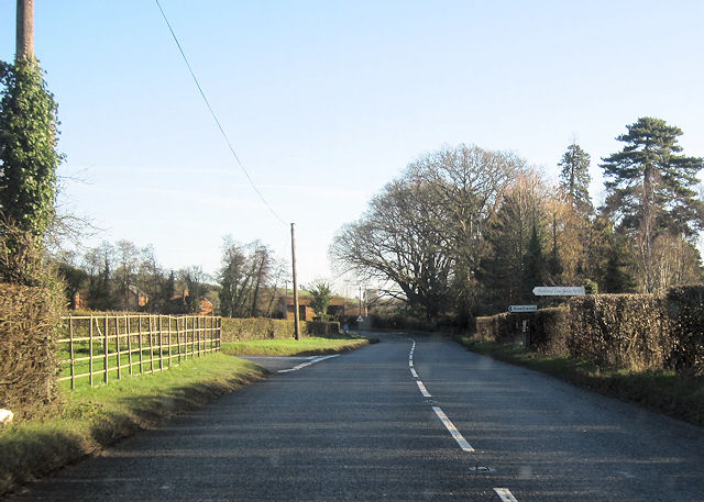
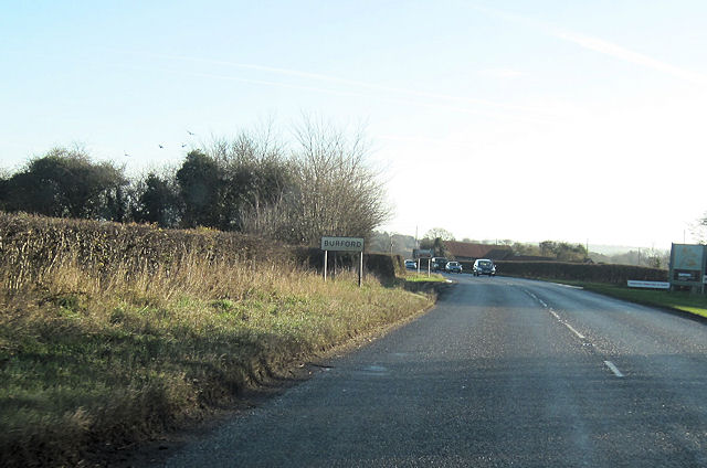
Despite its rural setting, Berrington Green benefits from good transportation links. The nearby A4103 road provides easy access to Worcester and other nearby towns, making commuting and exploring the wider area convenient.
In summary, Berrington Green offers a tranquil and picturesque village lifestyle, with its charming green, welcoming community, and proximity to stunning natural landscapes. It is a place where residents can enjoy the best of both worlds – a peaceful countryside retreat with easy access to nearby amenities.
If you have any feedback on the listing, please let us know in the comments section below.
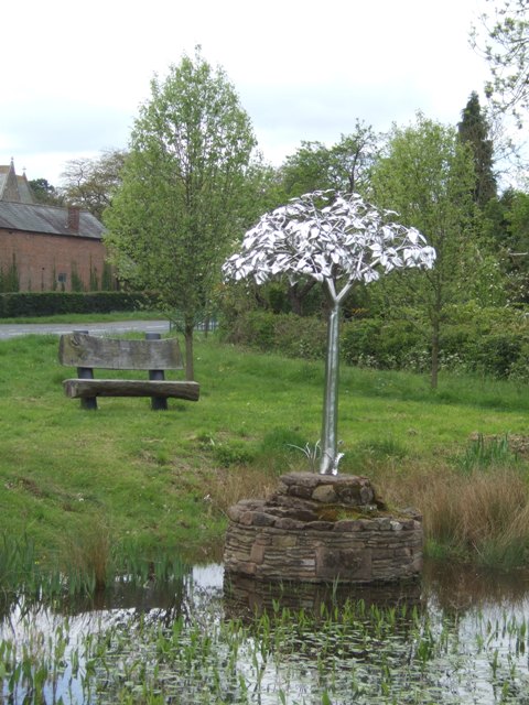
Berrington Green Images
Images are sourced within 2km of 52.299394/-2.6201043 or Grid Reference SO5766. Thanks to Geograph Open Source API. All images are credited.


Berrington Green is located at Grid Ref: SO5766 (Lat: 52.299394, Lng: -2.6201043)
Unitary Authority: County of Herefordshire
Police Authority: West Mercia
What 3 Words
///dressings.crouches.gladiators. Near Tenbury Wells, Worcestershire
Nearby Locations
Related Wikis

Berrington Green
Berrington Green is a village in Worcestershire, England near Tenbury Wells. == External links == Media related to Berrington Green at Wikimedia Commons
Berrington, Worcestershire
Berrington is a village in Worcestershire, England. Berrington was in the upper division of Doddingtree hundred. == References ==
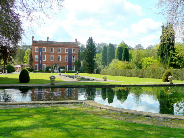
Burford House, Shropshire
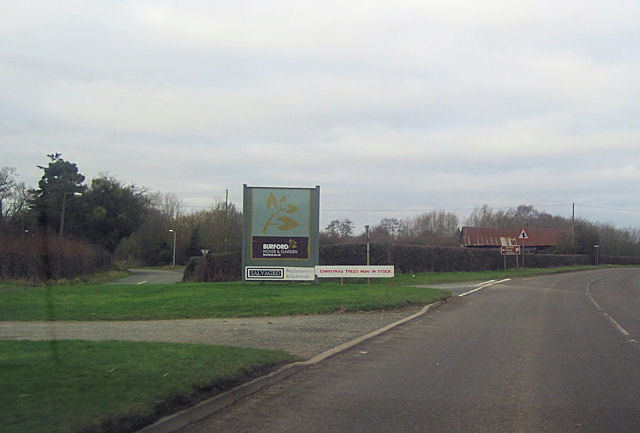
Burford House is an 18th-century country house in Burford, Shropshire, near Tenbury Wells, Worcestershire, England. It now functions as a garden centre...
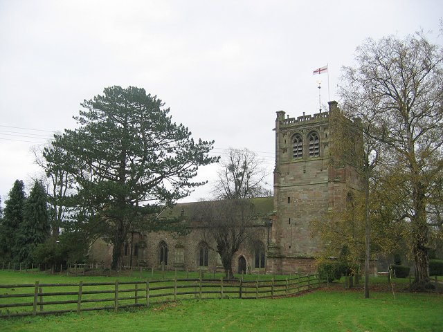
St Mary's Church, Burford
St Mary's Church, Burford, is located near to Burford House in Shropshire, England, about 0.7 miles (1 km) to the west of Tenbury Wells. It is an active...
Nearby Amenities
Located within 500m of 52.299394,-2.6201043Have you been to Berrington Green?
Leave your review of Berrington Green below (or comments, questions and feedback).