Manchester, New

Settlement in Lancashire

England

Manchester, New

Boothstown Marina
Boothstown Marina Credit: Anthony Parkes

Manchester is a vibrant and historic city located in the northwest region of England, specifically in the county of Lancashire. With an estimated population of over 550,000 residents, it is the third-most populous city in the United Kingdom. Manchester is situated on the banks of the River Irwell and is surrounded by beautiful countryside.

The city has a rich industrial heritage and played a key role in the Industrial Revolution, earning it the nickname "Cottonopolis." Manchester's cotton mills were once at the forefront of the global textile industry. Today, the city continues to thrive as a major commercial, cultural, and educational hub.

Manchester is renowned for its architecture, blending the old with the new. The cityscape is dominated by impressive structures such as the Gothic-style Manchester Cathedral and the iconic Manchester Town Hall. In recent years, the skyline has been transformed by modern developments, including the Beetham Tower, the tallest building in the city.

Culture flourishes in Manchester, with numerous museums, art galleries, and theaters. The city is home to the renowned Manchester Art Gallery and the Whitworth, housing extensive collections of art from various periods. Football is another significant aspect of Manchester's culture, with two Premier League giants, Manchester United and Manchester City, calling the city home.

Manchester boasts excellent transportation links, including an international airport and an extensive tram network, making it easily accessible for visitors. The city is also known for its vibrant music scene, having produced influential bands such as The Smiths, Oasis, and The Stone Roses.

In conclusion, Manchester, nestled in the heart of Lancashire, is a thriving city with a rich history, architectural marvels, a diverse cultural scene, and a strong sense of community.

If you have any feedback on the listing, please let us know in the comments section below.

Manchester, New Images

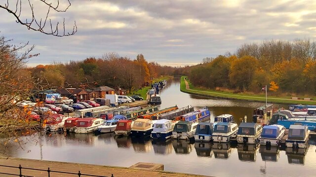
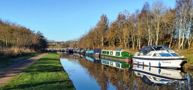
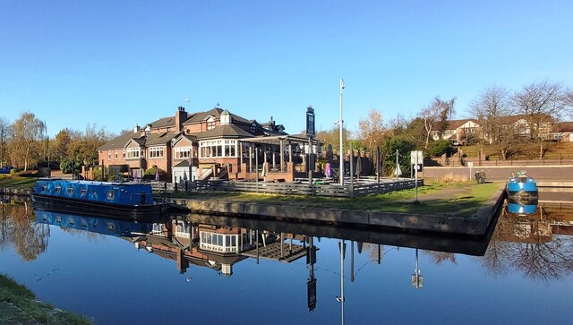
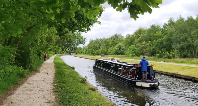
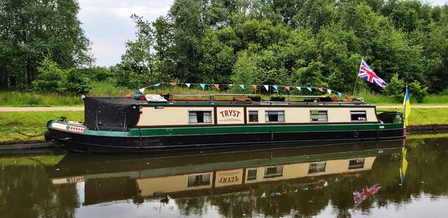
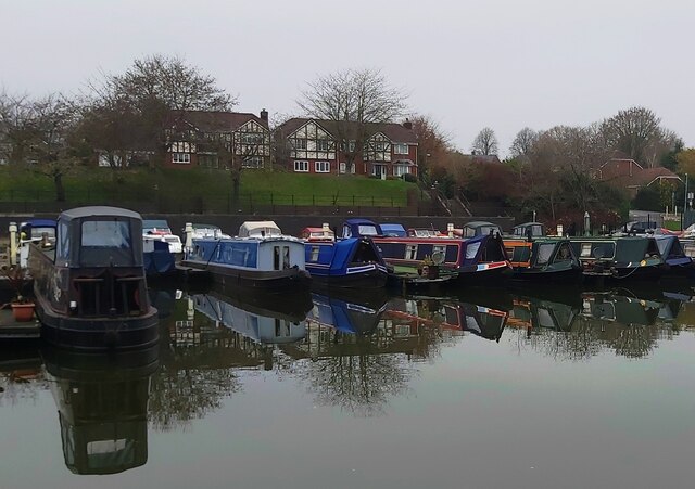
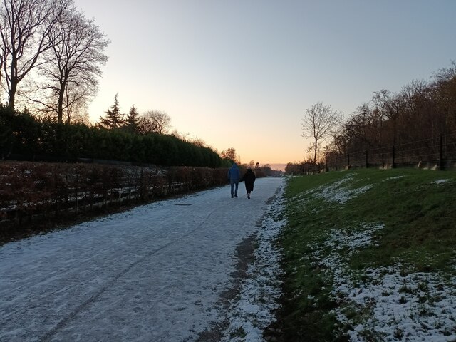
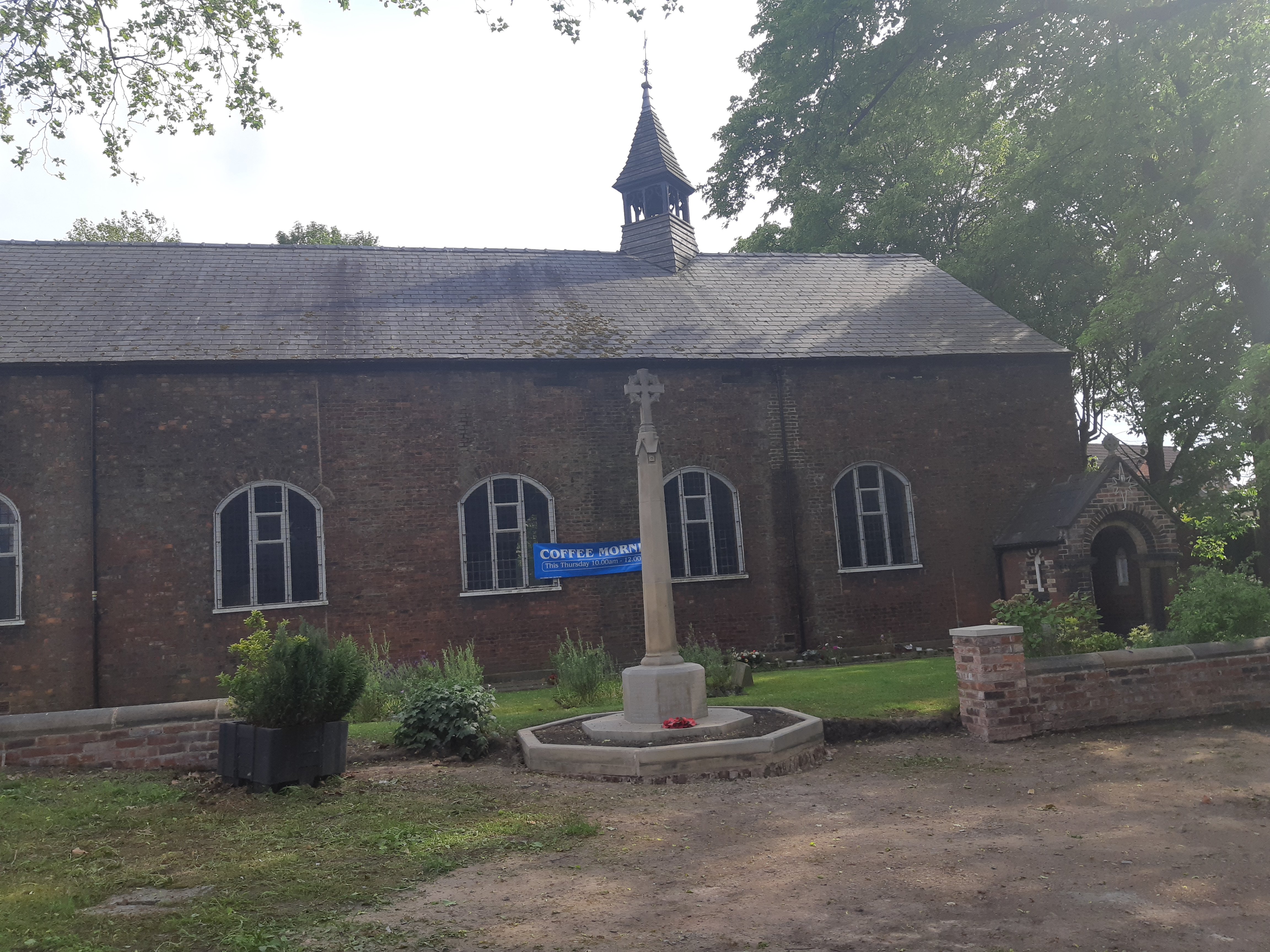
Images are sourced within 2km of 53.514264/-2.4199004 or Grid Reference SD7202. Thanks to Geograph Open Source API. All images are credited.

Boothstown Marina
Boothstown Marina
The Bridgewater Canal at Boothstown
The Moorings Public House
Peacock Butterfly resting in the sun
The Bridgewater Canal at Boothstown
Tryst - Bridgewater Canal at Boothstown
Barges at Boothstown Marina
Snowy Leigh Guided Busway It was as slippy as it looks!
Snowy Leigh Guided Busway
It was as slippy as it looks!
Roe Green loopline, Walkden The view in the direction of Roe Green from just east of Walkden Road.
Roe Green loopline, Walkden
The view in the direction of Roe Green from just east of Walkden Road.
Walkden Road bridge The imposing and garish bridge as seen from the Roe Green loopline. Beyond the bridge is Parr Fold park and Little Hulton.
Walkden Road bridge
The imposing and garish bridge as seen from the Roe Green loopline. Beyond the bridge is Parr Fold park and Little Hulton.
Roe Green loopline The arch shape formed by the trees in the distance is the A580 bridge, which is being refurbished.
Roe Green loopline
The arch shape formed by the trees in the distance is the A580 bridge, which is being refurbished.
Circle of plants in Parr Fold Park Parr Fold Park is a landscaped garden of mature trees and open lawns located in the centre of Walkden, 200 yards from the station. The park contains many traditional features associated with a formal park.  It is one of only two parks within Salford that contain a bandstand, which was erected in 1935. It also houses a war memorial, a memorial garden, floral features, pitch & putt course, equipped children's play area, tennis courts, bowling green and a skate park.
Circle of plants in Parr Fold Park
Parr Fold Park is a landscaped garden of mature trees and open lawns located in the centre of Walkden, 200 yards from the station. The park contains many traditional features associated with a formal park. It is one of only two parks within Salford that contain a bandstand, which was erected in 1935. It also houses a war memorial, a memorial garden, floral features, pitch & putt course, equipped children's play area, tennis courts, bowling green and a skate park.
Bridge over Tyldesley Loopline The footbridge links Broadway to the A580.
Bridge over Tyldesley Loopline
The footbridge links Broadway to the A580.
Road junction in Boothstown
Bus stop on Chaddock Lane
Applewood Farm A restaurant in Tyldesley near the A580 selling pub grub and a carvery option.
Applewood Farm
A restaurant in Tyldesley near the A580 selling pub grub and a carvery option.
Kennedy Road, Tyldesley This road is only used for industrial purposes.
Kennedy Road, Tyldesley
This road is only used for industrial purposes.
Footpath off Withington Drive Leading towards <a href="https://www.geograph.org.uk/photo/7386125">SD7000 : Kennedy Road, Tyldesley</a>.
Footpath off Withington Drive
Show me another place!

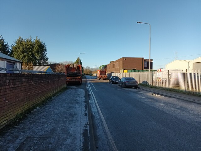
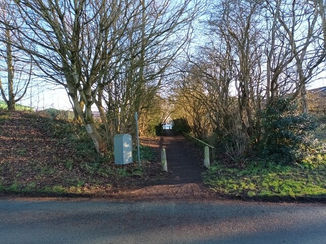
Manchester, New is located at Grid Ref: SD7202 (Lat: 53.514264, Lng: -2.4199004)

Unitary Authority: Salford

Police Authority: Greater Manchester

What 3 Words

///hunt.famed.mixed. Near Walkden, Manchester

Related Wikis

New Manchester

New Manchester or The City was an isolated mining community on the Manchester Coalfield north of Mosley Common in the Tyldesley township, England. It...

Ellenbrook railway station, Worsley

Ellenbrook railway station was a railway station serving the Ellenbrook area of Worsley, Greater Manchester, England on the Tyldesley Loopline and Manchester...

St Mary the Virgin's Church, Ellenbrook

St Mary the Virgin's Church or Ellenbrook Chapel is an active Anglican church in Ellenbrook, Worsley, Greater Manchester, England. The church is part of...

Ellenbrook, Greater Manchester

Ellenbrook is a suburb of Worsley, in the City of Salford in Greater Manchester, England. Ellenbrook is 6.8 miles (10.9 km) west of Manchester, 5 miles...

Nearby Amenities

Located within 500m of 53.514264,-2.4199004
Bus Stop
Bridgewater Road/The Boundary Stone
Bus: yes
Local Ref: A
Naptan AtcoCode: 1800WK09161
Naptan Bearing: E
Naptan CommonName: Bridgewater Road/The Boundary Stone
Naptan Indicator: Boundary Stone
Naptan Landmark: BOUNDARY STONE
Naptan NaptanCode: manpwdtw
Naptan PlusbusZoneRef: MNCRPIC
Naptan ShortCommonName: The Boundary Ston
Naptan Street: Bridgewater Road
Naptan Verified: no
Network: TfGM
Public Transport: platform
Source: naptan_import
Lat/Long: 53.5108428/-2.415182
Bus Stop
Bridgewater Road/The Boundary Stone
Bus: yes
Local Ref: B
Naptan AtcoCode: 1800WK09171
Naptan Bearing: W
Naptan CommonName: Bridgewater Road/The Boundary Stone
Naptan Indicator: Op Boundary Pub
Naptan Landmark: BOUNDARY PUB
Naptan NaptanCode: manpwdwa
Naptan PlusbusZoneRef: MNCRPIC
Naptan ShortCommonName: The Boundary Ston
Naptan Street: Bridgewater Road
Naptan Verified: no
Network: TfGM
Public Transport: platform
Source: naptan_import
Lat/Long: 53.5108504/-2.4155892
Ellenbrook
Historic Railway: station
Railway: site
Wikidata: Q5365101
Wikipedia: en:Ellenbrook railway station, Worsley
Lat/Long: 53.5121933/-2.4137003
Power: pole
Lat/Long: 53.5141093/-2.4146062
Power: pole
Lat/Long: 53.5154732/-2.4213535
Power: pole
Lat/Long: 53.514256/-2.4130425
Power: pole
Lat/Long: 53.51473/-2.4175769
Power: pole
Lat/Long: 53.5156343/-2.4221233
Power: pole
Lat/Long: 53.5145514/-2.416732
Power: pole
Lat/Long: 53.5141715/-2.4138391
Power: pole
Lat/Long: 53.5158719/-2.4231479
Power: pole
Lat/Long: 53.5160824/-2.4241537
Power: pole
Lat/Long: 53.5149469/-2.4186739
Power: pole
Lat/Long: 53.5158464/-2.425417
Power: pole
Lat/Long: 53.5152196/-2.4199319
Power: pole
Lat/Long: 53.5156391/-2.4267662
Power: pole
Lat/Long: 53.5144764/-2.4163565
Bus Stop
Newearth Rd
Bus: yes
Departures Board: yes
Naptan AtcoCode: 1800WK15481
Naptan Bearing: E
Naptan NaptanCode: MANTWPDG
Naptan Street: Leigh Guided Busway
Network: TfGM
Public Transport: platform
Shelter: yes
Lat/Long: 53.5122321/-2.4137336
Bus Stop
Newearth Rd
Bus: yes
Departures Board: yes
Naptan AtcoCode: 1800WK15471
Naptan Bearing: W
Naptan NaptanCode: MANTWPDA
Naptan Street: Leigh Guided Busway
Network: TfGM
Public Transport: platform
Shelter: yes
Lat/Long: 53.51213/-2.4139387
Traffic Signals
Traffic Signals: signal
Lat/Long: 53.5121841/-2.4195027
Traffic Signals
Traffic Signals: signal
Lat/Long: 53.5122258/-2.4197567
Traffic Signals
Traffic Signals: signal
Lat/Long: 53.5123242/-2.4195688
Traffic Signals
Traffic Signals: signal
Lat/Long: 53.5122213/-2.4193761
Bicycle Parking
Access: yes
Bicycle Parking: stands
Covered: yes
Operator: TfGM
Operator Type: public
Lat/Long: 53.5122276/-2.4136361
Parking
Lat/Long: 53.5126836/-2.4202368
Beauty: tanning
Shop: beauty
Lat/Long: 53.5112912/-2.4143188
Post Box
Operator: Royal Mail
Operator Wikidata: Q638098
Post Box Type: pillar
Royal Cypher: EIIR
Source: survey
Lat/Long: 53.5108595/-2.4159177
Common Head Farm
Historic: ruins
Historic Civilization: modern
Note: 60 acres. Last noted farmer: James Locker (1939). Common Head Farm is associated with Ellenbrook Chapel and the Dame Dorothy Legh Charity https://www.boothstown-village.co.uk/farms-and-folds/
Ruins: building
Source: local knowledge
Lat/Long: 53.5178211/-2.4232349
Waste Basket
Colour: Black
Operator: Salford City Council
Operator Wikidata: Q17020402
Operator Wikipedia: en:Salford City Council
Source: survey
Lat/Long: 53.5110288/-2.4190937
Waste Basket
Colour: Black
Operator: Salford City Council
Operator Wikidata: Q17020402
Operator Wikipedia: en:Salford City Council
Source: survey
Lat/Long: 53.5105456/-2.4184635
Addr City: Worsley
Addr Housenumber: 20
Addr Postcode: M28 1BD
Addr Street: City Road
Addr Suburb: New Manchester
Lat/Long: 53.5137607/-2.4200063
Addr City: Worsley
Addr Housenumber: 30
Addr Postcode: M28 1BE
Addr Street: Lower New Row
Addr Suburb: New Manchester
Lat/Long: 53.5149035/-2.4206368
Addr City: Worsley
Addr Housenumber: 12
Addr Postcode: M28 1BE
Addr Street: Lower New Row
Addr Suburb: New Manchester
Lat/Long: 53.5145833/-2.4201794
Addr City: Worsley
Addr Housenumber: 20
Addr Postcode: M28 1BE
Addr Street: Lower New Row
Addr Suburb: New Manchester
Lat/Long: 53.5147184/-2.420384
Addr City: Worsley
Addr Housenumber: 38
Addr Postcode: M28 1BE
Addr Street: Lower New Row
Addr Suburb: New Manchester
Lat/Long: 53.5152878/-2.4211364
Give Way
Direction: backward
Lat/Long: 53.5104301/-2.4187318
The data included in this document is from www.openstreetmap.org. The data is made available under ODbL.

Have you been to Manchester, New?

Leave your review of Manchester, New below (or comments, questions and feedback).