New Malden
Settlement in Surrey
England
New Malden
New Malden is a suburban town located in the Royal Borough of Kingston upon Thames, in the county of Surrey, England. Situated just 9.4 miles southwest of central London, the town benefits from its close proximity to the capital while still maintaining a peaceful and suburban atmosphere.
With a population of around 30,000, New Malden is a vibrant and diverse community. The town is particularly renowned for its large Korean population, with numerous Korean businesses, shops, and restaurants lining the high street. This has led to New Malden being affectionately referred to as "Little Korea" and has attracted visitors and residents alike who are interested in experiencing authentic Korean culture and cuisine.
New Malden offers a range of amenities and facilities for its residents. The high street is home to a variety of shops, supermarkets, and local businesses, providing all the essentials for daily life. The town also boasts several green spaces and parks, such as Beverley Park and Blagdon Road Open Space, offering recreational areas for residents to enjoy.
Transport links in New Malden are excellent, with a railway station providing regular services to London Waterloo, making it an ideal location for commuters. Additionally, the town benefits from good road connections, with the A3 providing easy access to central London and the surrounding areas.
Overall, New Malden is a thriving suburban town that offers a unique blend of cultures, excellent transport links, and a range of amenities, making it an appealing place to live or visit.
If you have any feedback on the listing, please let us know in the comments section below.
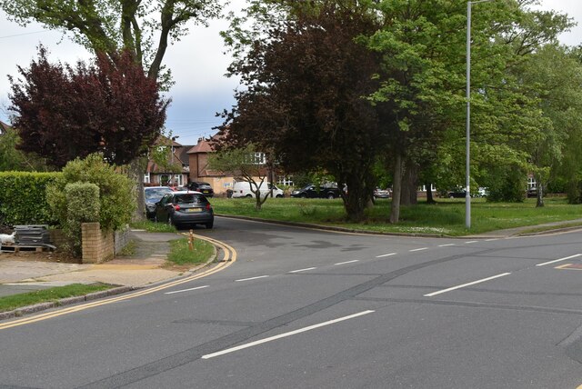
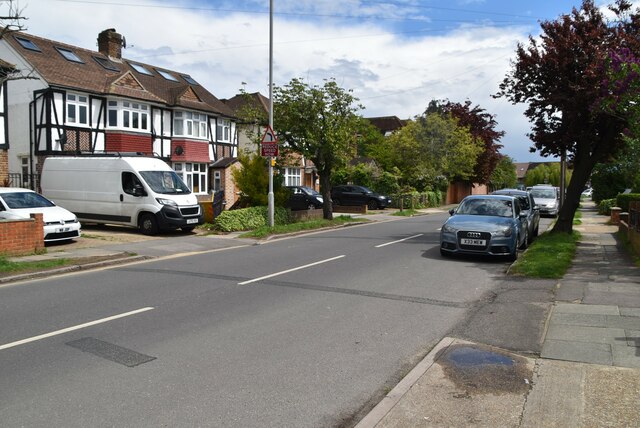
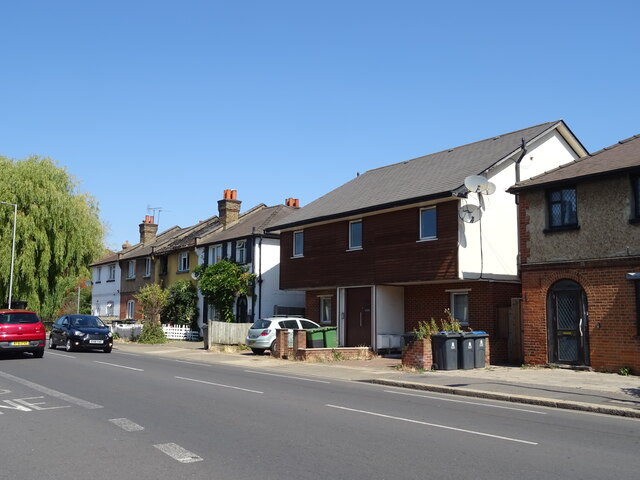
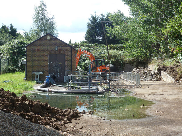
New Malden Images
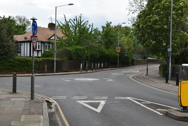
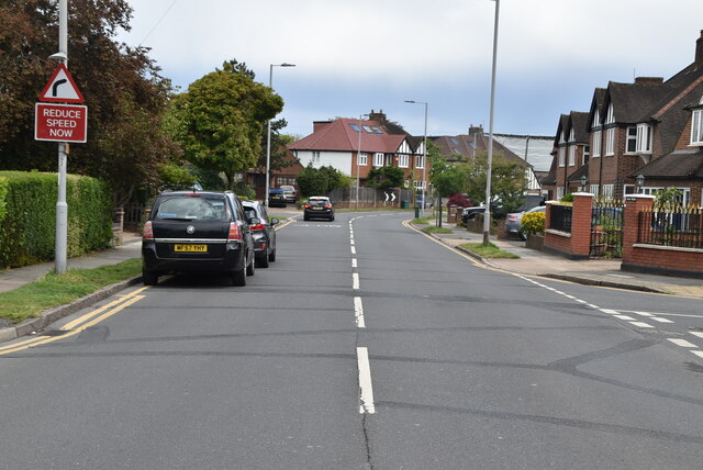
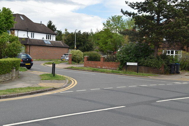
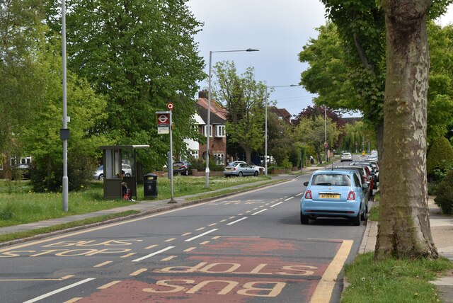
Images are sourced within 2km of 51.401165/-0.257613 or Grid Reference TQ2168. Thanks to Geograph Open Source API. All images are credited.


New Malden is located at Grid Ref: TQ2168 (Lat: 51.401165, Lng: -0.257613)
Unitary Authority: Kingston upon Thames
Police Authority: Metropolitan
What 3 Words
///toast.violin.likes. Near New Malden, London
Nearby Locations
Related Wikis

New Malden High Street
New Malden High Street is a 1 km-long high street in New Malden, the centre of the suburb that grew up around New Malden railway station in the 19th and...

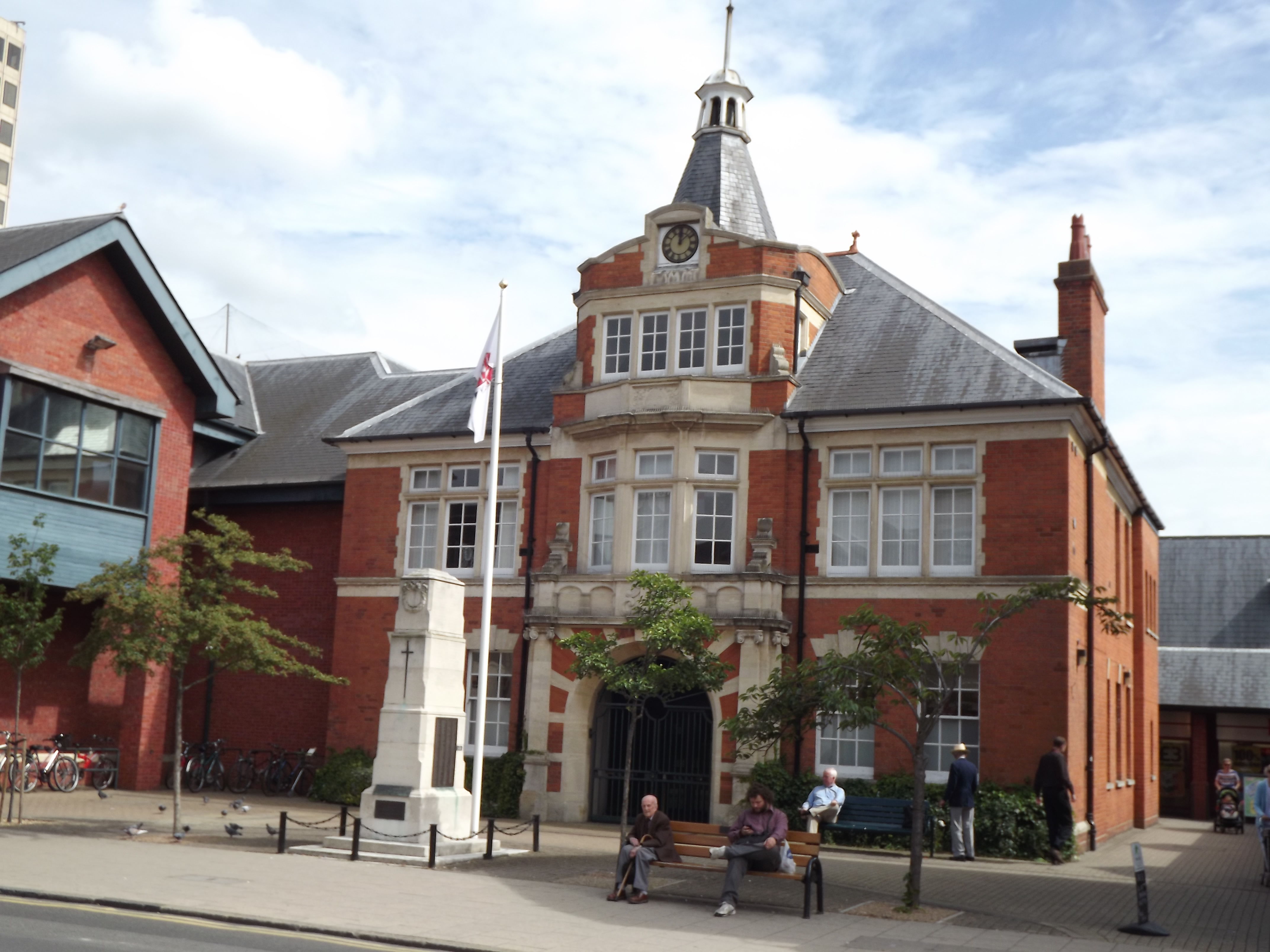
New Malden War Memorial
New Malden War Memorial is a Grade II listed war memorial in the town of New Malden, Royal Borough of Kingston upon Thames, Greater London, England, commemorating...
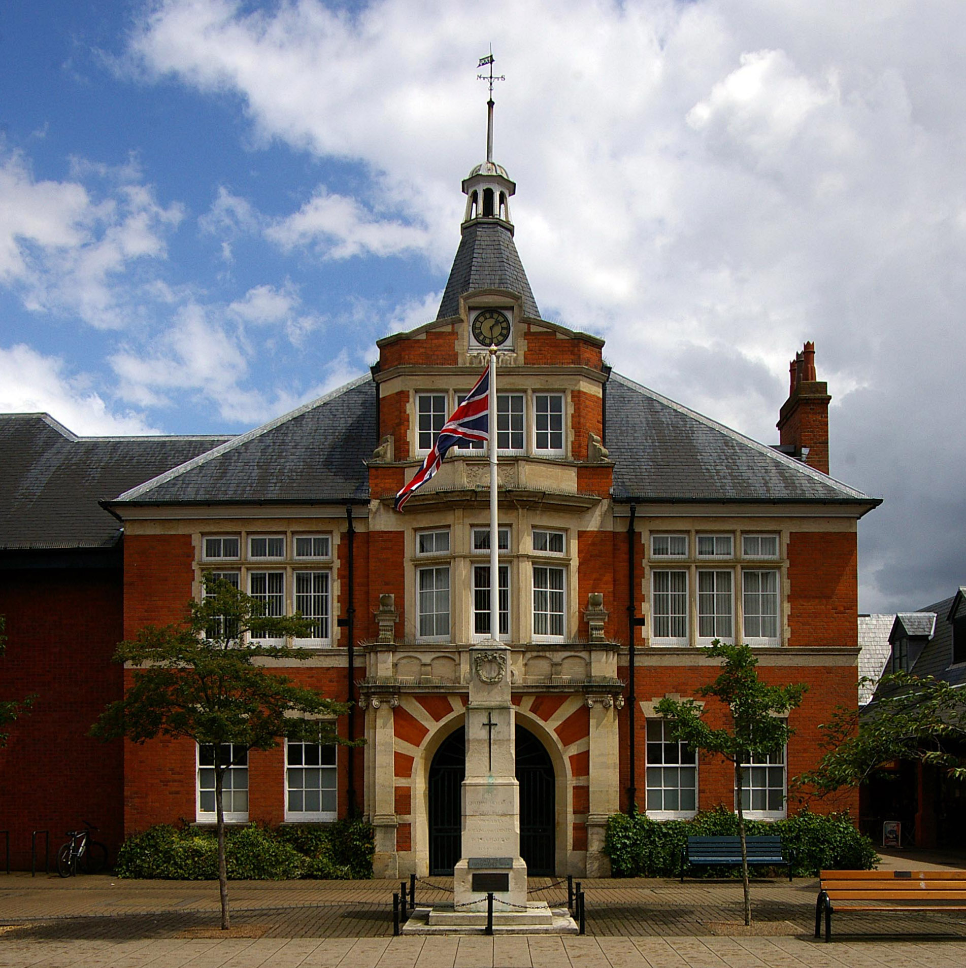
New Malden Town Hall
New Malden Town Hall was a municipal building in High Street, New Malden, London. == History == In the late 19th century the local board of health had...
Municipal Borough of Malden and Coombe
Malden and Coombe was a local government district in Surrey, England from 1866 to 1965. New Malden Local Government District was formed in 1866 under...
Nearby Amenities
Located within 500m of 51.401165,-0.257613Have you been to New Malden?
Leave your review of New Malden below (or comments, questions and feedback).