Leeds, New

Settlement in Aberdeenshire

Scotland

Leeds, New

Kininmonth School from the road junction Looking uphill towards the school.  The A952 sweeps down alongside.
Kininmonth School from the road junction Credit: Ian Paterson

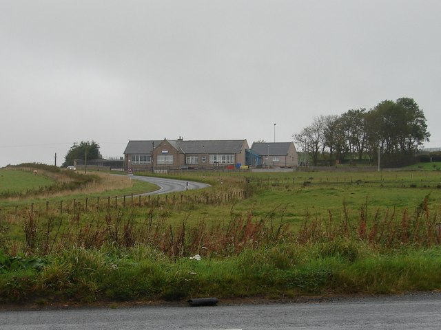
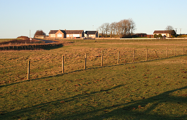
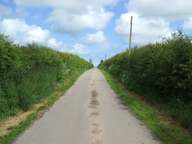
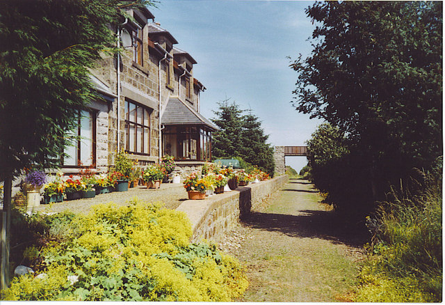
Leeds, New is a small village located in the Aberdeenshire region of Scotland. Situated approximately 25 miles northwest of Aberdeen, this picturesque village offers a tranquil and idyllic setting for its residents and visitors alike.

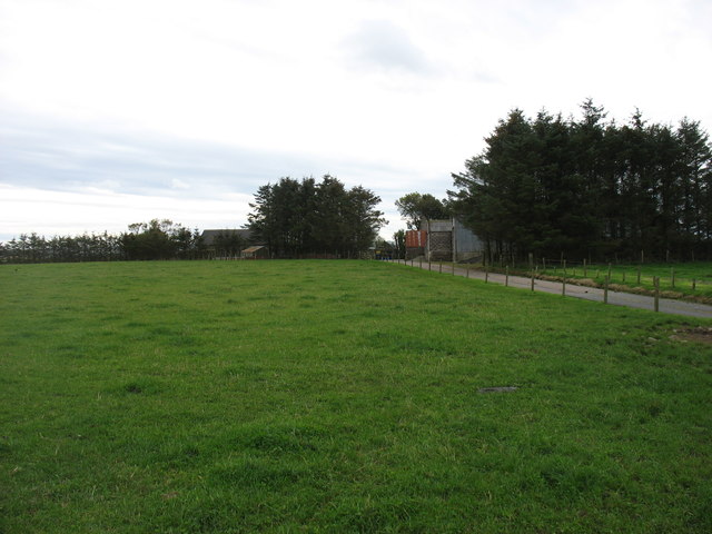
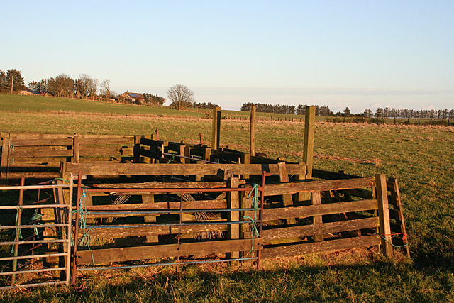
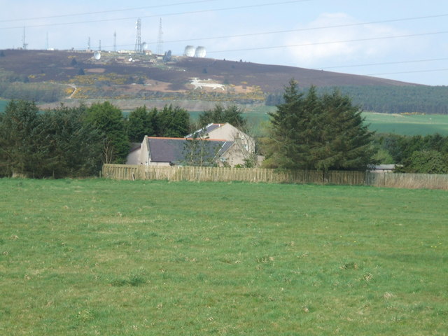
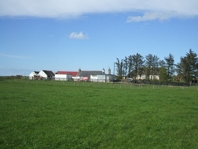
The village is surrounded by stunning natural beauty, with rolling hills, lush green fields, and the River Don running nearby. Its rural location makes it a haven for nature enthusiasts, offering plenty of opportunities for hiking, fishing, and wildlife spotting.

Despite its small size, Leeds, New has a close-knit community that takes pride in its heritage and traditions. The village is known for its annual Highland Games, where locals and visitors come together to enjoy traditional Scottish sports like caber tossing, hammer throwing, and Highland dancing.

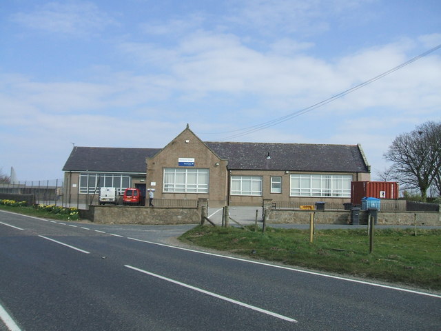
In terms of amenities, Leeds, New has a few essential facilities to cater to its residents. There is a local primary school, a village hall that hosts community events, and a small convenience store for daily needs. For more extensive shopping or entertainment options, residents often travel to nearby towns such as Inverurie or Aberdeen.

Overall, Leeds, New offers a peaceful and rural lifestyle, making it an ideal place for those seeking a slower pace of life amidst stunning natural surroundings. Whether exploring the great outdoors or immersing oneself in the local community, this charming village has something to offer for everyone.

If you have any feedback on the listing, please let us know in the comments section below.
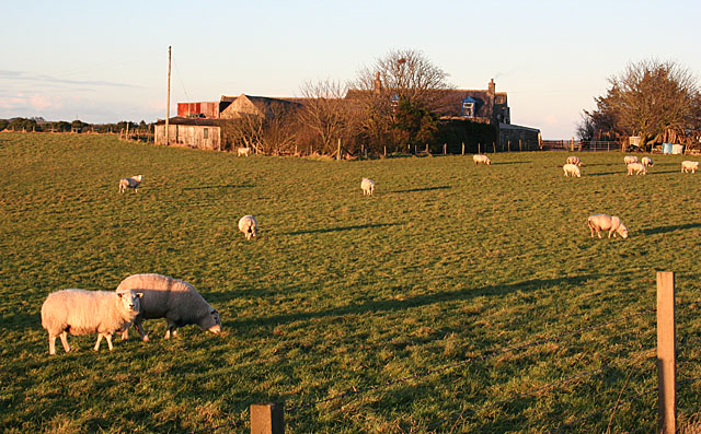
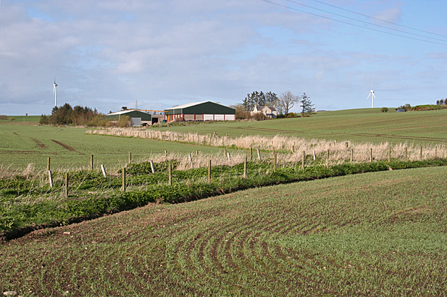
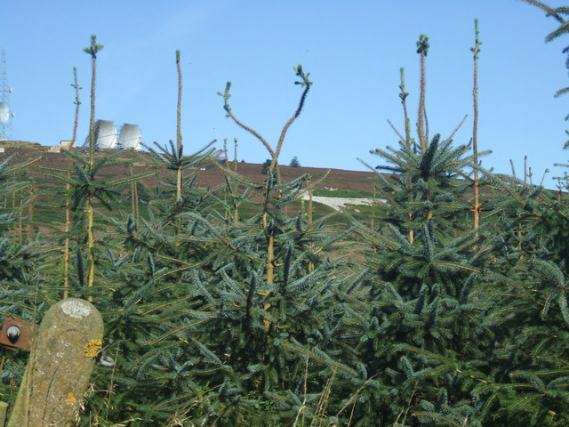
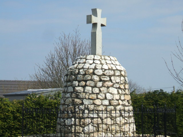
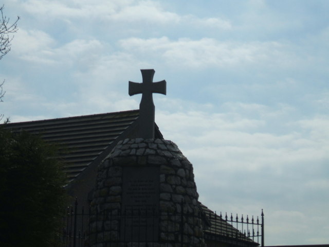
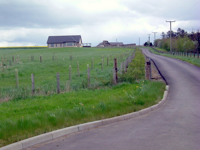
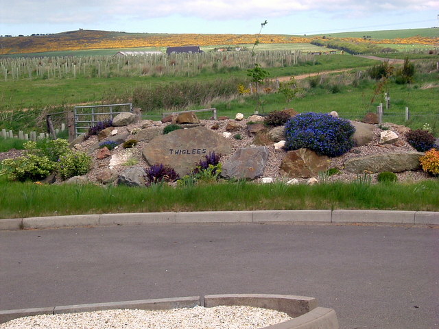
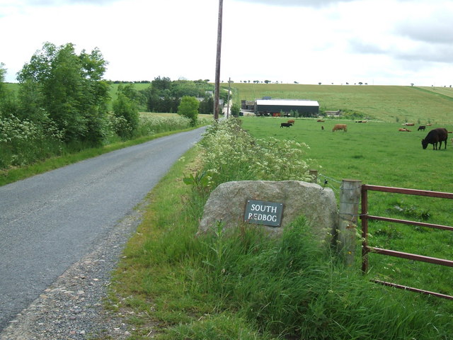
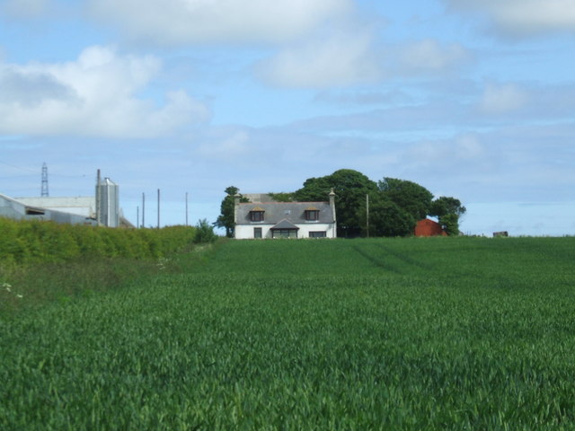
Leeds, New Images

Images are sourced within 2km of 57.581702/-2.007996 or Grid Reference NJ9954. Thanks to Geograph Open Source API. All images are credited.

Kininmonth School from the road junction Looking uphill towards the school.  The A952 sweeps down alongside.
Kininmonth School from the road junction
Looking uphill towards the school. The A952 sweeps down alongside.
Corse Farm
Corse Farm
Kininmonth Primary School Although the school is close to the main A952, it can only be reached by a roundabout route past the bungalow on the right, presumably for road safety reasons.
Kininmonth Primary School
Although the school is close to the main A952, it can only be reached by a roundabout route past the bungalow on the right, presumably for road safety reasons.
Livestock Pens Just beside the road near Corse. Corse Farm, in the background, is in the next square.
Livestock Pens
Just beside the road near Corse. Corse Farm, in the background, is in the next square.
Sheep at Corsehill Sometimes a car is useful to hide behind, so that you don't just get photographs of rapidly retreating rear ends of sheep. This field is right beside the minor road at Corse.
Sheep at Corsehill
Sometimes a car is useful to hide behind, so that you don't just get photographs of rapidly retreating rear ends of sheep. This field is right beside the minor road at Corse.
South Redbog A farm with substantial outbuildings, standing on a slightly elevated site.
South Redbog
A farm with substantial outbuildings, standing on a slightly elevated site.
Mormond Station The old station building is now a house on the Formartine & Buchan Way, the long distance path, between Strichen and Fraserburgh. The old railway bridge here still carries mainly farm traffic.
Mormond Station
The old station building is now a house on the Formartine & Buchan Way, the long distance path, between Strichen and Fraserburgh. The old railway bridge here still carries mainly farm traffic.
Buchan Line, view to Mormond Hill Stag figure on hillside and communications paraphernalia on hilltop.
Buchan Line, view to Mormond Hill
Stag figure on hillside and communications paraphernalia on hilltop.
War Memorial at New Leeds ...this Memorial has a much more impressive view from the left hand side of this shot - downhill, which dramatically makes the observer see the cross against the sky - unfortunately this angle was negated by the sun shining directly into shot
War Memorial at New Leeds
...this Memorial has a much more impressive view from the left hand side of this shot - downhill, which dramatically makes the observer see the cross against the sky - unfortunately this angle was negated by the sun shining directly into shot
War Memorial,  New Leeds
War Memorial, New Leeds
Kininmonth Primary School
Cottages at Cairnchina ....with Mormond Hill providing the backdrop
Cottages at Cairnchina
....with Mormond Hill providing the backdrop
Corse Cottage The small original cottage in the centre among the croft buildings. Adjacent plot used to build modern bungalow
Corse Cottage
The small original cottage in the centre among the croft buildings. Adjacent plot used to build modern bungalow
Road to Blackslack
Road to Blackslack
Roadside rockery On the B9093
Roadside rockery
On the B9093
Towards South Redbog
North Redbog
North Redbog
Farm Road to North Redbog
Show me another place!

Leeds, New is located at Grid Ref: NJ9954 (Lat: 57.581702, Lng: -2.007996)

Unitary Authority: Aberdeenshire

Police Authority: North East

What 3 Words

///camcorder.tacky.bluntly. Near Mintlaw, Aberdeenshire

Nearby Locations

New Leeds Leeds, New

Related Wikis

New Leeds

New Leeds is a planned village in the Buchan area of Aberdeenshire, Scotland, situated 5.1 kilometres (3.2 mi) east of Strichen at the foot of Mormond...

Mormond Halt railway station

Mormond Halt railway station was a railway station near New Leeds, Aberdeenshire. == History == The station was opened as Mormond on 24 April 1865. It...

Fetterangus

Fetterangus (Scottish Gaelic: Fothair Aonghais, Scots: Fishie) is a small village in Aberdeenshire, Scotland, located just to the north of Mintlaw. Fetterangus...

Mormond Hill

Mormond Hill (from Gaelic Mórmhonadh, "big hill") is a broad eminence in Aberdeenshire, Scotland, not far from Fraserburgh. Its twin summits reach heights...

Related Videos

‘StickyTriflePodcast’ #39 (Kininmonth)

It's a travel to the outskirts of 'Kininmonth' on #39 as 'Rona Roux' talks about the impact her daughter's health has had on her ...

Nearby Amenities

Located within 500m of 57.581702,-2.007996
New Leeds
Place: village
Source: npe
Wikidata: Q7009773
Wikipedia: en:New Leeds
Lat/Long: 57.5814042/-2.0084192
Power: pole
Lat/Long: 57.5808665/-2.0158148
Power: pole
Lat/Long: 57.5809863/-2.0146741
Power: pole
Lat/Long: 57.5810999/-2.0135179
Power: pole
Lat/Long: 57.5812322/-2.0122957
Power: pole
Lat/Long: 57.5813624/-2.0110589
Power: pole
Lat/Long: 57.5814931/-2.009858
Power: pole
Lat/Long: 57.5816187/-2.0086115
Power: pole
Lat/Long: 57.5816739/-2.0080985
Power: pole
Lat/Long: 57.5792271/-2.0138304
Power: pole
Lat/Long: 57.579892/-2.0137072
Power: pole
Lat/Long: 57.5804954/-2.0136383
Power: pole
Lat/Long: 57.5817616/-2.0133898
Power: pole
Lat/Long: 57.5824254/-2.0132603
Power: pole
Lat/Long: 57.583031/-2.0131183
Power: pole
Lat/Long: 57.5837306/-2.0129784
Power: pole
Lat/Long: 57.5843832/-2.0128511
Power: pole
Lat/Long: 57.5849194/-2.0127446
Bus Stop
St Mary Terrace
Bus: yes
Naptan AtcoCode: 630021852
Naptan Bearing: SW
Naptan CommonName: St Mary Terrace
Naptan Indicator: opp
Naptan NaptanCode: 23627326
Naptan Street: A952
Naptan Verified: no
Public Transport: platform
Source: naptan;bing;naptan_compare_tool
Lat/Long: 57.5814172/-2.0063593
Bus Stop
St Mary Terrace
Bus: yes
Naptan AtcoCode: 630021851
Naptan Bearing: NE
Naptan CommonName: St Mary Terrace
Naptan Indicator: at
Naptan NaptanCode: 23627297
Naptan Street: A952
Naptan Verified: no
Public Transport: platform
Source: naptan;bing;naptan_compare_tool
Lat/Long: 57.5814855/-2.0064729
The data included in this document is from www.openstreetmap.org. The data is made available under ODbL.

Have you been to Leeds, New?

Leave your review of Leeds, New below (or comments, questions and feedback).