New Leake

Settlement in Lincolnshire East Lindsey

England

New Leake

Direction Sign – Signpost near Bell Water Bridge Located on the northeast side of the crossroads of Midville Road and Bell Water Drain Bank near Bell Water Bridge in New Leake parish. 4 arms and no finial. See also <a title="https://www.geograph.org.uk/photo/4257459" href="https://www.geograph.org.uk/photo/4257459">Link</a>.

Milestone Society National ID: LI_TF3858
Direction Sign – Signpost near Bell Water Bridge Credit: A Riley

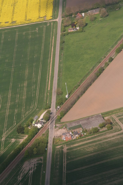
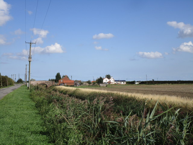
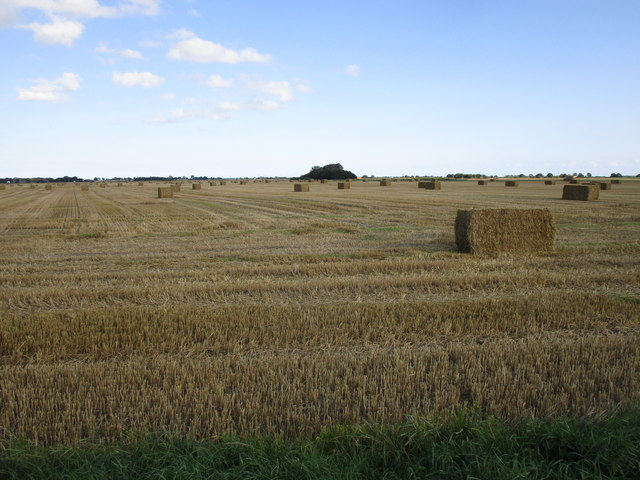
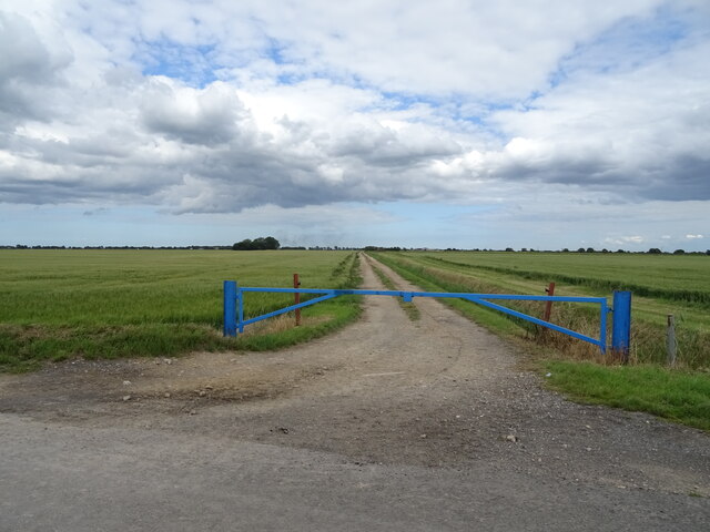
New Leake is a small village located in Lincolnshire, England. It is situated approximately 6 miles north-west of the town of Boston. The village is surrounded by agricultural land, with many farms in the surrounding area.

New Leake has a population of around 400 residents, and is a close-knit community with a strong sense of community spirit. The village is home to a church, a primary school, and a village hall which hosts various events and activities throughout the year.

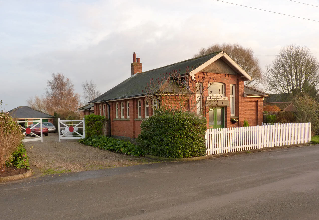
The village has a rich history, with evidence of settlement dating back to Roman times. There are also several historic buildings in the area, including the Grade II listed St. Mary's Church.

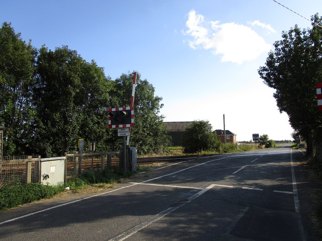
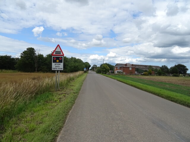
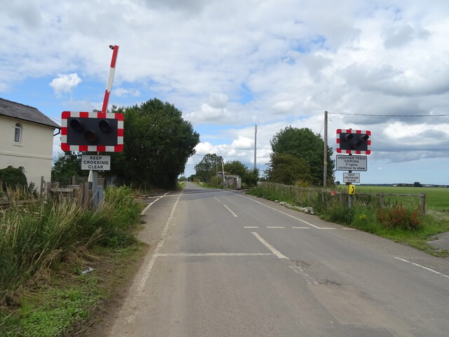
New Leake is well-connected by road, with the A52 running through the village providing easy access to nearby towns and cities. The village also has a regular bus service, making it easy for residents to travel to other locations in the area.

Overall, New Leake is a peaceful and picturesque village with a strong sense of community and a rich history.

If you have any feedback on the listing, please let us know in the comments section below.

New Leake Images

Images are sourced within 2km of 53.094108/0.093362 or Grid Reference TF4057. Thanks to Geograph Open Source API. All images are credited.

Direction Sign – Signpost near Bell Water Bridge Located on the northeast side of the crossroads of Midville Road and Bell Water Drain Bank near Bell Water Bridge in New Leake parish. 4 arms and no finial. See also <a title="https://www.geograph.org.uk/photo/4257459" href="https://www.geograph.org.uk/photo/4257459">Link</a>.

Milestone Society National ID: LI_TF3858
Direction Sign – Signpost near Bell Water Bridge
Located on the northeast side of the crossroads of Midville Road and Bell Water Drain Bank near Bell Water Bridge in New Leake parish. 4 arms and no finial. See also Link. Milestone Society National ID: LI_TF3858
St Peter's church, Midville Redundant and uncared for.
The church was built under the Fen Churches Act of 1816 along with those at Carrington, Frithville, Langrick, Wildmore and Eastville (now demolished). The design is attributed to Jeptha Pacey <span class="nowrap"><a title="https://en.wikipedia.org/wiki/Jeptha_Pacey" rel="nofollow ugc noopener" href="https://en.wikipedia.org/wiki/Jeptha_Pacey">Link</a><img style="margin-left:2px;" alt="External link" title="External link - shift click to open in new window" src="https://s1.geograph.org.uk/img/external.png" width="10" height="10"/></span> and the building is Grade II listed <span class="nowrap"><a title="https://historicengland.org.uk/listing/the-list/list-entry/1359743?section=official-list-entry" rel="nofollow ugc noopener" href="https://historicengland.org.uk/listing/the-list/list-entry/1359743?section=official-list-entry">Link</a><img style="margin-left:2px;" alt="External link" title="External link - shift click to open in new window" src="https://s1.geograph.org.uk/img/external.png" width="10" height="10"/></span>
St Peter's church, Midville
Redundant and uncared for. The church was built under the Fen Churches Act of 1816 along with those at Carrington, Frithville, Langrick, Wildmore and Eastville (now demolished). The design is attributed to Jeptha Pacey LinkExternal link and the building is Grade II listed LinkExternal link
Fodder Dike Work is going on along the road to the south of the dike. All the roads in this area are to varying extents collapsing into the parallel drains. The road here is by no means the worst but is probably the most dangerous as it sees the most traffic.
Fodder Dike
Work is going on along the road to the south of the dike. All the roads in this area are to varying extents collapsing into the parallel drains. The road here is by no means the worst but is probably the most dangerous as it sees the most traffic.
St Peter, Midville One of the six 'fen chapels' sanctioned by an Act of Parliament in 1812. This was built in 1819, probably to the designs of Jeptha Pacey. A close-up <a href="https://www.geograph.org.uk/photo/444034">TF3857 : St Peter, Midville</a>. Grade II listed.
Testament to a time when the area must have been buzzing with people and activity. At the time the building lay behind police tape and signs warning that it was unsafe.
St Peter, Midville
One of the six 'fen chapels' sanctioned by an Act of Parliament in 1812. This was built in 1819, probably to the designs of Jeptha Pacey. A close-up TF3857 : St Peter, Midville. Grade II listed. Testament to a time when the area must have been buzzing with people and activity. At the time the building lay behind police tape and signs warning that it was unsafe.
Hobhole Drain, Midville Lying between parallel country roads.
There is a pillbox on the left.
Hobhole Drain, Midville
Lying between parallel country roads. There is a pillbox on the left.
Bell Water Drain Bank, Midville That is the enticing name of the minor road leading away like a dart to nowhere very much.
Bell Water Drain Bank, Midville
That is the enticing name of the minor road leading away like a dart to nowhere very much.
Parked on a passing place on Bell Water Drain Bank Late afternoon in November.
Parked on a passing place on Bell Water Drain Bank
Late afternoon in November.
Private footbridge over Bell Water Drain
Between Midville and Eastville: aerial 2017 Looking across Fodderdyke. Eastville right.
Between Midville and Eastville: aerial 2017
Looking across Fodderdyke. Eastville right.
Railway crossing Boston and Spilsby Road south of Eastville on the East Fen: aerial 2017
Midville Road along Hobhole Drain The road is indeed full of undulations which necessitates slow driving.
Midville Road along Hobhole Drain
The road is indeed full of undulations which necessitates slow driving.
Bell Water Bridge
Bell Water Bridge
Stubble field off Bell Water Drain Bank North
Railway crossing Spilsby Road
Stubble field off Spilsby Road, Eastville
Farm track and drain off the Boston and Spilsby Road
Approaching level crossing on Boston and Spilsby Road
Level crossing on Boston and Spilsby Road
Show me another place!

New Leake is located at Grid Ref: TF4057 (Lat: 53.094108, Lng: 0.093362)

Division: Parts of Lindsey

Administrative County: Lincolnshire

District: East Lindsey

Police Authority: Lincolnshire

What 3 Words

///recap.boosted.front. Near Stickney, Lincolnshire

Nearby Locations

Leake, New New Leake

Related Wikis

Eastville, Lincolnshire

Eastville, a village in the East Lindsey district of Lincolnshire, England. It is situated approximately 9 miles (14 km) north-east from Boston and 6 miles...

East Ville railway station

East Ville was a railway station on the East Lincolnshire Railway which served the village of Eastville in Lincolnshire between 1848 and 1964. It originally...

New Leake

New Leake is a village and civil parish in the East Lindsey district of Lincolnshire, England. The population of the civil parish at the 2011 census was...

Midville railway station

Midville railway station was a station in Midville, Lincolnshire, England. It was on the line between Lincoln and Firsby. The station opened in 1913 and...

Nearby Amenities

Located within 500m of 53.094108,0.093362
New Leake
Is In: Lincolnshire, England, UK
Place: village
Source: Bing
Lat/Long: 53.0928673/0.0911437
Eastville
Is In: Lincolnshire, England, UK
Place: hamlet
Source: NPE
Lat/Long: 53.0921027/0.0951104
Eastville
Railway: level_crossing
Lat/Long: 53.0908348/0.0983486
Bus Stop
Wheatsheaf PH
Naptan AtcoCode: 2700LE006573
Naptan Bearing: SW
Naptan CommonName: Wheatsheaf PH
Naptan Indicator: opp
Naptan Landmark: Wheatsheaf PH
Naptan NaptanCode: lingdpdg
Naptan Street: Spilsby Road
Naptan Verified: no
Source: naptan_import
Lat/Long: 53.091378/0.092137
Bus Stop
Wheatsheaf PH
Naptan AtcoCode: 2700LENL5632
Naptan Bearing: NE
Naptan CommonName: Wheatsheaf PH
Naptan Indicator: adj
Naptan Landmark: Wheatsheaf PH
Naptan NaptanCode: lindwdjd
Naptan Street: Spilsby Road
Naptan Verified: no
Source: naptan_import
Lat/Long: 53.0914079/0.0919742
Post Box
Collection Times: Mo-Fr 16:00; Sa 09:30
Ref: PE22 158
Lat/Long: 53.0907469/0.091863
Sills Farm
Place: farm
Source: Bing
Lat/Long: 53.0903719/0.0965914
Station Farm
Place: farm
Source: Bing
Lat/Long: 53.0914169/0.096659
Historic: memorial
Source: Bing
Lat/Long: 53.0935338/0.0932447
Bowser's Corner
Place: locality
Source: Bing
Lat/Long: 53.0910556/0.0919145
Eastville
Railway: level_crossing
Lat/Long: 53.0908372/0.0982895
Historic Amenity: place_of_worship
Lat/Long: 53.0943615/0.0929908
Historic Amenity: place_of_worship
Religion: christian
Lat/Long: 53.0899039/0.0915163
Post Office
New Leake Mobile Post Office Service
Addr City: Boston
Addr Housename: Village Hall Car Park
Addr Street: Fodder Dyke Bank
Addr Village: New Leake
Fixme: verify by survey
Opening Hours: Mo,Th 09:00-10:30; Tu 10:30-11:30; We 14:15-15:15
Ref Pol Id: 94018
Source: pol_branch_list_2018-02
Lat/Long: 53.0905673/0.0952312
Railway: level_crossing
Lat/Long: 53.0910532/0.0985734
Railway: level_crossing
Lat/Long: 53.0910526/0.0986376
Generator Method: photovoltaic
Generator Output Electricity: yes
Generator Source: solar
Generator Type: solar_photovoltaic_panel
Location: roof
Power: generator
Lat/Long: 53.0904451/0.0943609
Generator Method: photovoltaic
Generator Output Electricity: yes
Generator Source: solar
Generator Type: solar_photovoltaic_panel
Location: roof
Power: generator
Lat/Long: 53.0907359/0.09415
Generator Method: photovoltaic
Generator Output Electricity: yes
Generator Source: solar
Generator Type: solar_photovoltaic_panel
Location: roof
Power: generator
Lat/Long: 53.0909099/0.0923385
Generator Method: photovoltaic
Generator Output Electricity: yes
Generator Source: solar
Generator Type: solar_photovoltaic_panel
Location: roof
Power: generator
Lat/Long: 53.0904584/0.0942062
Generator Method: photovoltaic
Generator Output Electricity: yes
Generator Source: solar
Generator Type: solar_photovoltaic_panel
Location: roof
Power: generator
Lat/Long: 53.0907824/0.0938479
Generator Method: photovoltaic
Generator Output Electricity: yes
Generator Source: solar
Generator Type: solar_photovoltaic_panel
Location: roof
Power: generator
Lat/Long: 53.0907455/0.0939867
Generator Method: photovoltaic
Generator Output Electricity: yes
Generator Source: solar
Generator Type: solar_photovoltaic_panel
Location: roof
Power: generator
Lat/Long: 53.0943121/0.0931408
Generator Method: photovoltaic
Generator Output Electricity: yes
Generator Source: solar
Generator Type: solar_photovoltaic_panel
Location: roof
Power: generator
Lat/Long: 53.0904591/0.0939603
Generator Method: photovoltaic
Generator Output Electricity: yes
Generator Source: solar
Generator Type: solar_photovoltaic_panel
Location: roof
Power: generator
Lat/Long: 53.0909112/0.0922505
Generator Method: photovoltaic
Generator Output Electricity: yes
Generator Source: solar
Generator Type: solar_photovoltaic_panel
Location: roof
Power: generator
Lat/Long: 53.0907862/0.0937398
The data included in this document is from www.openstreetmap.org. The data is made available under ODbL.

Have you been to New Leake?

Leave your review of New Leake below (or comments, questions and feedback).