Achurch

Settlement in Northamptonshire

England

Achurch

A605 southbound
A605 southbound Credit: Alex McGregor

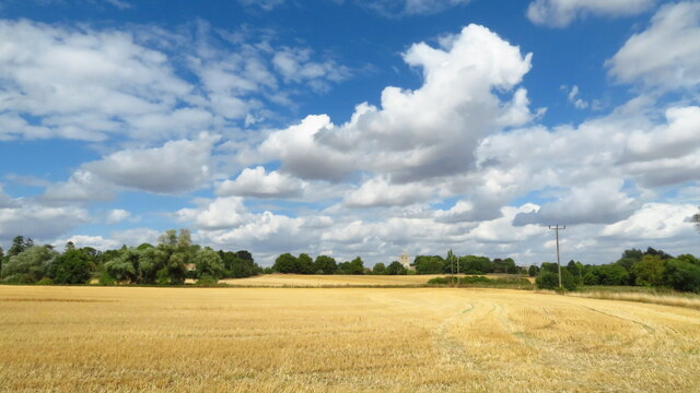
Achurch is a small village located in the county of Northamptonshire, England. Situated about 6 miles northeast of the town of Oundle, Achurch is surrounded by picturesque countryside and offers a peaceful and rural atmosphere.

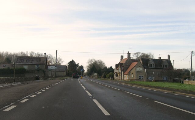
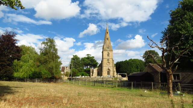
The village is known for its quaint and charming appearance, with a mix of traditional stone cottages and more modern houses. The centerpiece of Achurch is its beautiful parish church, St. John the Baptist, which dates back to the 13th century. This historic building is a notable landmark in the village and attracts visitors from near and far.

Despite its small size, Achurch has a strong sense of community. The village is home to a local pub, The Chequered Skipper, which serves as a gathering place for residents and visitors alike. The pub offers a warm and friendly atmosphere, as well as a selection of food and drinks.

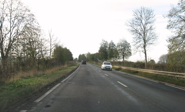
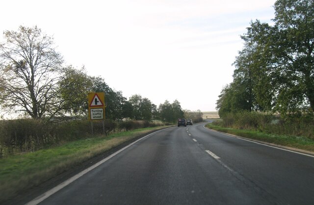
In terms of amenities, Achurch is relatively limited. However, with Oundle just a short drive away, residents have easy access to a wider range of shops, supermarkets, and other essential services. The village is also well-connected by road, with the A605 passing nearby, providing convenient links to neighboring towns and cities.

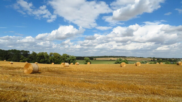
For those seeking outdoor activities, Achurch is surrounded by beautiful countryside, offering opportunities for walking, cycling, and exploring the natural landscape. The nearby Nene Valley Railway is a popular attraction, providing steam train rides and events throughout the year.

Overall, Achurch is a charming and peaceful village, perfect for those seeking a tranquil countryside lifestyle, while still having access to nearby amenities and attractions.

If you have any feedback on the listing, please let us know in the comments section below.

Achurch Images

Images are sourced within 2km of 52.434139/-0.498123 or Grid Reference TL0282. Thanks to Geograph Open Source API. All images are credited.

A605 southbound
A605 southbound
A605 southbound
A605 southbound
A605 southbound
A605 southbound
Entrance to Thorpe Waterville
A605 southbound
A605 southbound
A605 southbound
A605 southbound
A605 southbound
A605 southbound
Lane down to St John's church, Achurch
The Linches, Achurch: woodland full of snowdrops
Achurch war memorial As so often, a monument designed to commemorate the dead of the First World War has been modified to add the names of those who died in the Second.  In this case, however, one name intervenes. On the first step below the cross, above the names from 1939-45, is the name of Herbert Cottingham who died of wounds in March 1923: presumably a First World War veteran whose death was so protracted that the memorial was finished and the names inscribed before his body finally gave out.
Achurch war memorial
As so often, a monument designed to commemorate the dead of the First World War has been modified to add the names of those who died in the Second. In this case, however, one name intervenes. On the first step below the cross, above the names from 1939-45, is the name of Herbert Cottingham who died of wounds in March 1923: presumably a First World War veteran whose death was so protracted that the memorial was finished and the names inscribed before his body finally gave out.
On Nene Way - view across fields to All Saints Church, Aldwincle
Aldwincle - St Peter's Church
On the Nene Way - hay bales & view across Nene Valley at Aldwincle
Wadenhoe - St Michael & All Saints Church
The Old Mill & side channel on the River Nene at Wadenhoe
On the Nene Way crossing water meadows towards Achurch
On the Nene Way - view downstream from footbridge over the River Nene, West of Achurch
Show me another place!

Achurch is located at Grid Ref: TL0282 (Lat: 52.434139, Lng: -0.498123)

Unitary Authority: North Northamptonshire

Police Authority: Northamptonshire

What 3 Words

///immediate.navy.single. Near Thrapston, Northamptonshire

Nearby Locations

Thorpe Achurch Achurch

Related Wikis

Achurch

Achurch (formerly Asenciran sometimes referred to as Thorpe Achurch) is a village in the civil parish of Thorpe Achurch, in North Northamptonshire, England...

Church of St. John the Baptist, Achurch

The Church of St. John the Baptist is a Grade II* listed church in Achurch, Northamptonshire. The adjacent rectory dates from 1633. The church dates from...

Lilford-cum-Wigsthorpe and Thorpe Achurch

Lilford-cum-Wigsthorpe and Thorpe Achurch are a pair of adjacent civil parishes in the English county of Northamptonshire that share a single parish council...

Harper's Brook

Harper's Brook is a tributary of the River Nene which runs through Northamptonshire. According to sources (ordnance survey sheet 141) it rises to the North...

Nearby Amenities

Located within 500m of 52.434139,-0.498123
Achurch
Place: hamlet
Lat/Long: 52.4344683/-0.4969406
Tourism: information
Lat/Long: 52.4339648/-0.4955639
Water: well
Lat/Long: 52.433992/-0.4955323
Barrier: kissing_gate
Lat/Long: 52.4328871/-0.4979042
Barrier: kissing_gate
Lat/Long: 52.4320943/-0.497319
Barrier: kissing_gate
Lat/Long: 52.434905/-0.5019683
Barrier: kissing_gate
Lat/Long: 52.4337911/-0.498873
Parking
Lat/Long: 52.4340473/-0.495594
Church
Information: board
Tourism: information
Lat/Long: 52.4365165/-0.4982655
Historic: memorial
Memorial: war_memorial
Lat/Long: 52.4348332/-0.4951411
Post Box
Collection Times: Mo-Fr 09:00; Sa 07:00
Operator: Royal Mail
Post Box Type: wall
Ref: PE8 137D
Royal Cypher: VR
Royal Cypher Wikidata: Q33102356
Lat/Long: 52.4345265/-0.4953513
The data included in this document is from www.openstreetmap.org. The data is made available under ODbL.

Have you been to Achurch?

Leave your review of Achurch below (or comments, questions and feedback).