New Greens

Settlement in Hertfordshire St. Albans

England

New Greens

Railway line between St Albans and Harpenden Viewed looking southwards from Cheapside Farm bridge, a northbound Thameslink train approaches. This is the main railway line from London to Luton, Bedford, Kettering, Leicester, and Nottingham.
Railway line between St Albans and Harpenden Credit: Nigel Cox

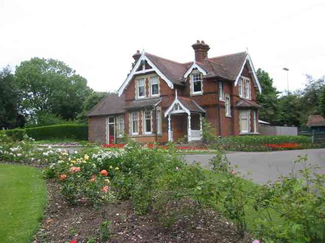
New Greens is a small suburban area located in Hertfordshire, England. Situated approximately 3 miles north of the town of St Albans, it falls within the civil parish of Sandridge. The area is primarily residential, with a mix of housing styles including detached and semi-detached houses, as well as some apartment buildings.

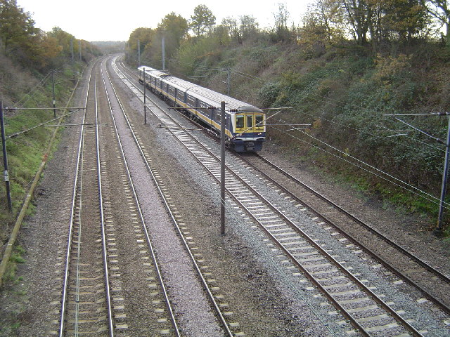
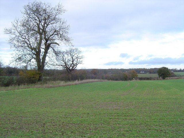
New Greens offers a tranquil and peaceful environment, with tree-lined streets and well-maintained green spaces. The residential area is well-connected, with easy access to major roads such as the A1(M) and M1, ensuring convenient commuting options to nearby towns and cities. The nearby St Albans City railway station provides regular train services to London and other major destinations.

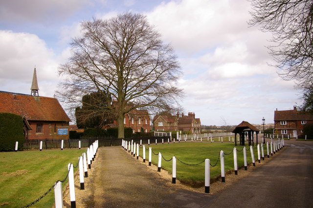
Residents of New Greens benefit from a range of amenities within close proximity. The popular Fleetville Infant and Junior Schools are situated nearby, providing excellent educational facilities for families. Local shops, supermarkets, and restaurants can be found in the neighboring areas, ensuring convenience for daily needs.

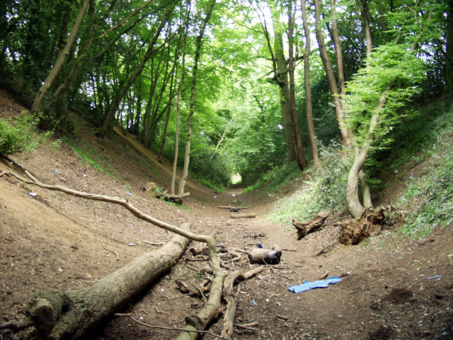
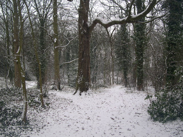
The area also boasts a number of recreational facilities, including the New Greens Sports and Social Club and a community center, which hosts various events and activities throughout the year. The nearby countryside offers opportunities for outdoor pursuits such as walking, jogging, and cycling.

Overall, New Greens offers a peaceful and family-friendly living environment with good transport links and a range of amenities, making it an attractive place to reside in Hertfordshire.

If you have any feedback on the listing, please let us know in the comments section below.
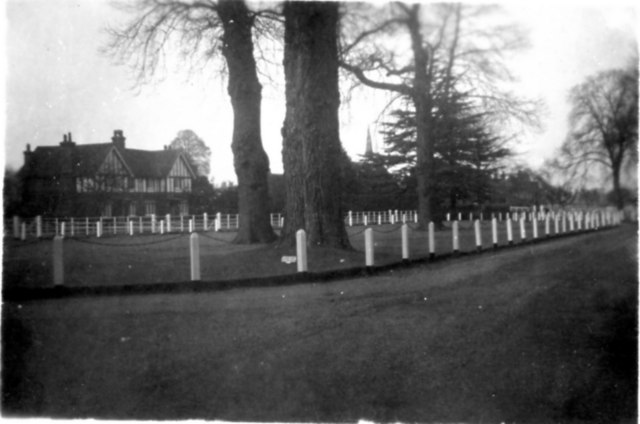
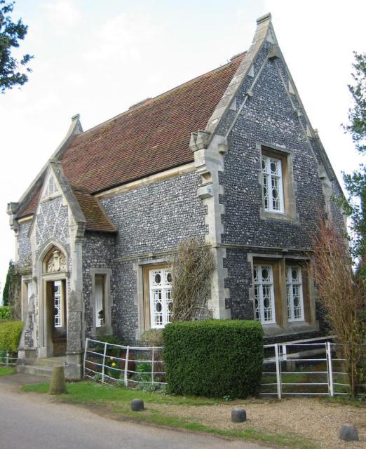
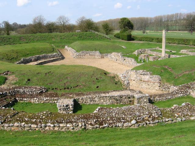
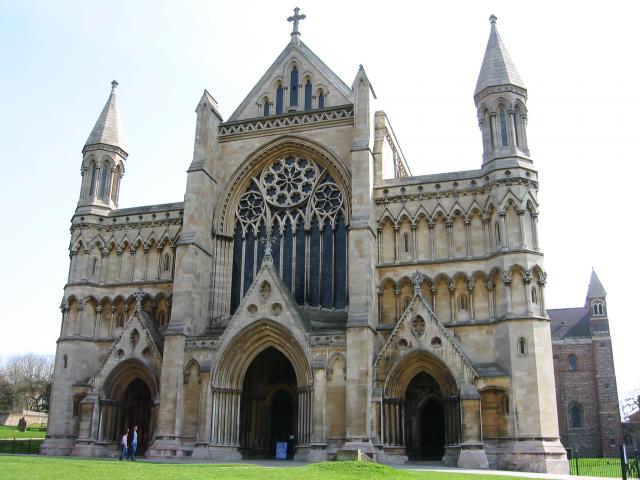
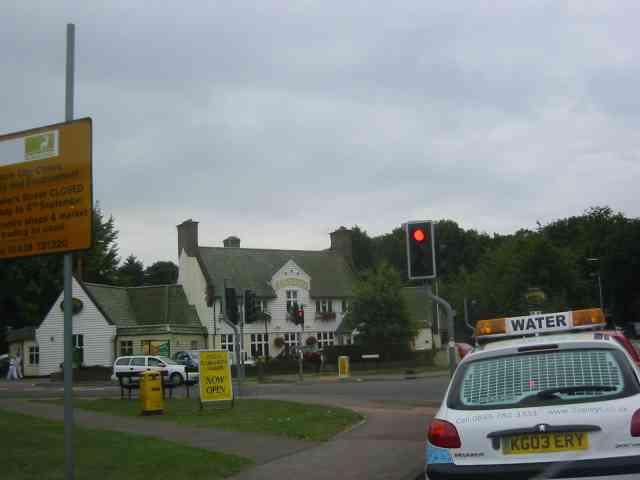
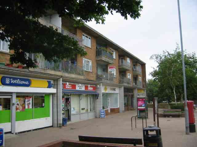
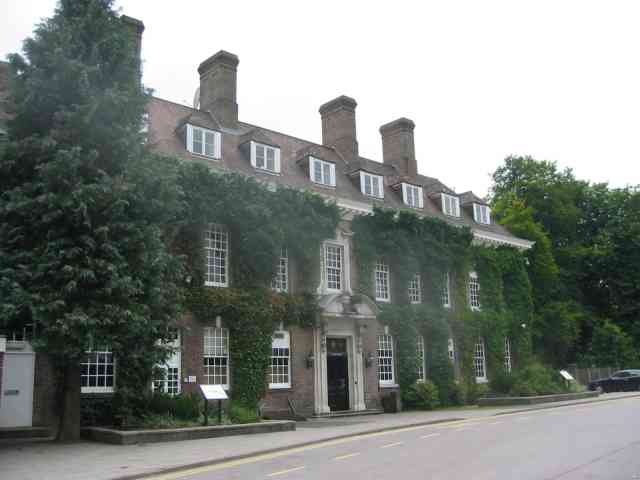
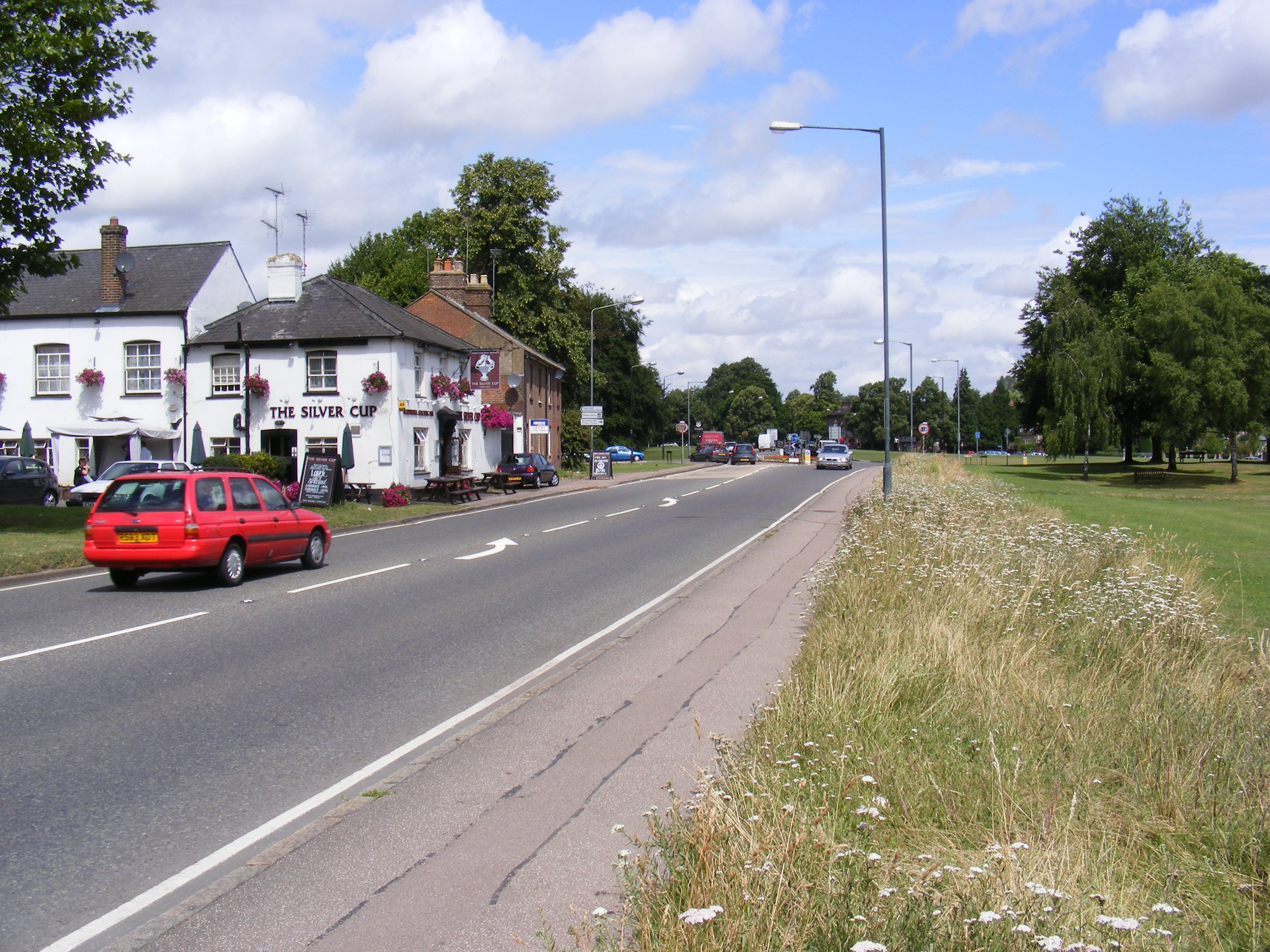
New Greens Images

Images are sourced within 2km of 51.767202/-0.33931111 or Grid Reference TL1408. Thanks to Geograph Open Source API. All images are credited.

Railway line between St Albans and Harpenden Viewed looking southwards from Cheapside Farm bridge, a northbound Thameslink train approaches. This is the main railway line from London to Luton, Bedford, Kettering, Leicester, and Nottingham.
Railway line between St Albans and Harpenden
Viewed looking southwards from Cheapside Farm bridge, a northbound Thameslink train approaches. This is the main railway line from London to Luton, Bedford, Kettering, Leicester, and Nottingham.
Farmland twixt St Albans and Harpenden Viewed looking northwards from the track to Cheapside Farm.
Farmland twixt St Albans and Harpenden
Viewed looking northwards from the track to Cheapside Farm.
Childwickbury Manor House Childwickbury manor, formerly Stanley Kubrick's house.
Childwickbury Manor House
Childwickbury manor, formerly Stanley Kubrick's house.
Childwick Green St Mary's Church, on the left, was designed by Sir George Gilbert Scott and built in 1867
Childwick Green
St Mary's Church, on the left, was designed by Sir George Gilbert Scott and built in 1867
Childwick Green - 1953 The white posts, or their replacements, are still there - see Ian Capper's photo from 2006 <a href="https://www.geograph.org.uk/photo/604851">TL1410 : Childwick Green</a>. St Mary's Church is in the background, through the trees.
Childwick Green - 1953
The white posts, or their replacements, are still there - see Ian Capper's photo from 2006 TL1410 : Childwick Green. St Mary's Church is in the background, through the trees.
Stone house House by the entrance to Verulamium Roman Theatre, on the left hand side coming into St Albans along the A4147 (TL135074).
Stone house
House by the entrance to Verulamium Roman Theatre, on the left hand side coming into St Albans along the A4147 (TL135074).
Roman theatre at Verulamium Remains of the theatre at the Roman city of Verulamium (Saint Albans), TL134074.
Roman theatre at Verulamium
Remains of the theatre at the Roman city of Verulamium (Saint Albans), TL134074.
St Alban's cathedral The west front as rebuilt in the late C19 by a benefactor, Lord Grimthorpe, to his own specification. From TL143071, looking East
St Alban's cathedral
The west front as rebuilt in the late C19 by a benefactor, Lord Grimthorpe, to his own specification. From TL143071, looking East
St Albans cathedral Looking West from TL146070
St Albans cathedral
Looking West from TL146070
Beech Bottom Dyke Iron Age earthwork in the middle of an urban area.
Beech Bottom Dyke
Iron Age earthwork in the middle of an urban area.
RUPP through Bentsley spinney, Marshalswick (Road Used as a Public Path) TL1609 has changed dramatically since the 30s. Post war housing now dominates land use in the SE of the square, newer housing to the SW and W, schools and community open space to the north.

Happily there remain several green spaces, including Bentsley Spinney at the west edge of the square. Bentsey Spinney used to be used for gravel extraction, deressions due to gravel pit existing in the Spinney.

TL1609.. a nice place to live...
RUPP through Bentsley spinney, Marshalswick
(Road Used as a Public Path) TL1609 has changed dramatically since the 30s. Post war housing now dominates land use in the SE of the square, newer housing to the SW and W, schools and community open space to the north. Happily there remain several green spaces, including Bentsley Spinney at the west edge of the square. Bentsey Spinney used to be used for gravel extraction, deressions due to gravel pit existing in the Spinney. TL1609.. a nice place to live...
Clarence Park Cafe  St Albans This cafe used to be the public lavatories until 
using a toilet went out of fashion.
Clarence Park Cafe St Albans
This cafe used to be the public lavatories until using a toilet went out of fashion.
The Lodge  Clarence Park St Albans A tied cottage provided for the Parks Superintendent. His office is the small room to the left
The Lodge Clarence Park St Albans
A tied cottage provided for the Parks Superintendent. His office is the small room to the left
Warehouses in Valley Road St Albans This business park is in complete contrast to the rural look of the beech bottom
Warehouses in Valley Road St Albans
This business park is in complete contrast to the rural look of the beech bottom
Harvester Pub on Harpenden Road crossing The pub has been refurbished and enlarged
Harvester Pub on Harpenden Road crossing
The pub has been refurbished and enlarged
Parade of shops on High Oaks in New Greens The group of shops includes the Co-op mini market and a post office.
Parade of shops on High Oaks in New Greens
The group of shops includes the Co-op mini market and a post office.
Changing rooms for football  and tennis  New Greens The appearance is rather grim but the buildings suffer rough treatment
Changing rooms for football and tennis New Greens
The appearance is rather grim but the buildings suffer rough treatment
Batchwood Hall The hall and grounds are devoted to golf and tennis
and the hall is used for social functions, night clubs and dancing.
Batchwood Hall
The hall and grounds are devoted to golf and tennis and the hall is used for social functions, night clubs and dancing.
Show me another place!

New Greens is located at Grid Ref: TL1408 (Lat: 51.767202, Lng: -0.33931111)

Administrative County: Hertfordshire

District: St. Albans

Police Authority: Hertfordshire

What 3 Words

///soaks.reds.dollar. Near St Albans, Hertfordshire

Related Wikis

St Albans Girls' School

St Albans Girls' School, usually referred to as STAGS, is a girls' secondary school in St Albans, Hertfordshire. It was formerly known as "St Albans Girls...

A1081 road

The A1081 is a road in the south of England. It starts at Luton Airport in Bedfordshire and runs to High Barnet in Greater London via Harpenden, St Albans...

St Albans City Hospital

St Albans City Hospital is an acute District General Hospital in St Albans, Hertfordshire operated by the West Hertfordshire Hospitals NHS Trust. ��2...

Bernards Heath

Bernards Heath is a heathland in St Albans, Hertfordshire, the site of the Second Battle of St Albans in 1461 during the Wars of the Roses. In the 19th...

Townsend Church of England School

Townsend Church of England School is a voluntary aided secondary school based in St Albans, Hertfordshire, England. The students attending are aged between...

Beech Bottom Dyke

Beech Bottom Dyke, is a large ditch running for almost a mile at the northern edge of St Albans, Hertfordshire flanked by banks on both sides. It is up...

Batchwood Hall

Batchwood Hall is a manor house in St Albans, Hertfordshire == History == The house was designed in the Queen Anne style and built for Edmund Beckett,...

St Albans High School for Girls

St Albans High School for Girls is a selective, private day school for girls aged 4 – 18 years, which is affiliated to the Church of England and takes...

Nearby Amenities

Located within 500m of 51.767202,-0.33931111
Traffic Signals
Ancient Briton Junction
Crossing: traffic_signals
Layer: 1
Traffic Signals: traffic_lights
Traffic Signals Direction: both
Lat/Long: 51.7658694/-0.3355033
Crossing
Button Operated: yes
Crossing: traffic_signals
Crossing Island: yes
Tactile Paving: yes
Lat/Long: 51.7657565/-0.3355222
Turning Loop
Lat/Long: 51.7676277/-0.3414613
Post Box
Brand: Royal Mail
Brand Wikidata: Q638098
Brand Wikipedia: en:Royal Mail
Operator: Royal Mail
Operator Wikidata: Q638098
Post Box Type: pillar
Ref: AL3 221
Royal Cypher: EIIR
Royal Cypher Wikidata: Q33102113
Lat/Long: 51.7702287/-0.3396365
New Greens
Place: suburb
Lat/Long: 51.7703785/-0.3409865
Post Box
Brand: Royal Mail
Brand Wikidata: Q638098
Brand Wikipedia: en:Royal Mail
Operator: Royal Mail
Operator Wikidata: Q638098
Post Box Type: lamp
Ref: AL3 2D
Royal Cypher: EIIR
Royal Cypher Wikidata: Q33102113
Lat/Long: 51.7703441/-0.335322
Morrisons Daily
Brand: Morrisons Daily
Brand Wikidata: Q99752411
Shop: convenience
Website: https://my.morrisons.com/storefinder/64713/morrisons-daily-st-albans-new-greens
Lat/Long: 51.7703304/-0.3394951
Bus Stop
The Ancient Briton
Bus: yes
Naptan AtcoCode: 210021501060
Naptan Bearing: SW
Naptan CommonName: The Ancient Briton
Naptan Crossing: Old Harpenden Road
Naptan Indicator: nr
Naptan Landmark: Old Harpenden Road
Naptan NaptanCode: hrtdajdj
Naptan PlusbusZoneRef: STALBCY
Naptan ShortCommonName: NA
Naptan Street: Harpenden Road
Naptan Verified: no
Public Transport: platform
Shelter: yes
Source: naptan_import
Lat/Long: 51.7667394/-0.3350928
Bus Stop
Toulmin Drive
Bus: yes
Naptan AtcoCode: 210021502185
Naptan Bearing: S
Naptan BusStopType: CUS
Naptan CommonName: Toulmin Drive
Naptan Crossing: opp Toulmin Drive
Naptan Indicator: opp
Naptan Landmark: opp Toulmin Drive
Naptan NaptanCode: hrtdadmp
Naptan PlusbusZoneRef: STALBCY
Naptan ShortCommonName: NA
Naptan Street: Green Lane
Naptan Verified: no
Public Transport: platform
Source: naptan_import
Lat/Long: 51.767887/-0.3429242
Bus Stop
High Oaks
Bus: yes
Naptan AtcoCode: 210021502960
Naptan Bearing: SE
Naptan CommonName: High Oaks
Naptan Crossing: Carnegie Road
Naptan Indicator: SE-bound
Naptan Landmark: Carnegie Road
Naptan NaptanCode: hrtawtgm
Naptan PlusbusZoneRef: STALBCY
Naptan ShortCommonName: NA
Naptan Street: High Oaks
Naptan Verified: no
Public Transport: platform
Source: naptan_import
Lat/Long: 51.7709962/-0.3404604
Bus Stop
New Greens Avenue
Bus: yes
Naptan AtcoCode: 210021502970
Naptan Bearing: E
Naptan BusStopType: CUS
Naptan CommonName: New Greens Avenue
Naptan Crossing: Harpenden Road
Naptan Indicator: adj
Naptan Landmark: Harpenden Road
Naptan NaptanCode: hrtawtgp
Naptan PlusbusZoneRef: STALBCY
Naptan ShortCommonName: NA
Naptan Street: Green Lane
Naptan Verified: no
Public Transport: platform
Source: naptan_import
Lat/Long: 51.7692896/-0.3346405
Bus Stop
Maple Avenue
Bus: yes
Naptan AtcoCode: 210021502980
Naptan Bearing: SW
Naptan CommonName: Maple Avenue
Naptan Crossing: Woollam Crescent
Naptan Indicator: S-bound
Naptan Landmark: Woollam Crescent
Naptan NaptanCode: hrtawtgw
Naptan PlusbusZoneRef: STALBCY
Naptan ShortCommonName: NA
Naptan Street: Maple Avenue
Naptan Verified: no
Public Transport: platform
Shelter: yes
Source: naptan_import
Lat/Long: 51.7696229/-0.343407
Bus Stop
Alverton
Bus: yes
Naptan AtcoCode: 210021502990
Naptan Bearing: SW
Naptan CommonName: Alverton
Naptan Crossing: Batchwood Drive
Naptan Indicator: adj
Naptan Landmark: Batchwood Drive
Naptan NaptanCode: hrtawtja
Naptan PlusbusZoneRef: STALBCY
Naptan ShortCommonName: NA
Naptan Street: Green Lane
Naptan Verified: no
Public Transport: platform
Source: naptan_import
Lat/Long: 51.7656432/-0.3432238
Bus Stop
Green Lane
Bench: yes
Bin: yes
Bus: yes
Naptan AtcoCode: 210021503000
Naptan Bearing: SE
Naptan CommonName: Green Lane
Naptan Crossing: Maple Avenue
Naptan Indicator: E-bound
Naptan Landmark: Maple Avenue
Naptan NaptanCode: hrtawtjd
Naptan PlusbusZoneRef: STALBCY
Naptan ShortCommonName: NA
Naptan Street: Toulmin Drive
Naptan Verified: no
Public Transport: platform
Shelter: yes
Source: naptan_import
Tactile Paving: no
Lat/Long: 51.7677066/-0.3434324
Bus Stop
Sheppards Close
Bus: yes
Naptan AtcoCode: 210021503010
Naptan Bearing: W
Naptan BusStopType: CUS
Naptan CommonName: Sheppards Close
Naptan Crossing: Seymour Road
Naptan Indicator: adj
Naptan Landmark: Seymour Road
Naptan NaptanCode: hrtawtjm
Naptan PlusbusZoneRef: STALBCY
Naptan ShortCommonName: NA
Naptan Street: Beech Road
Naptan Verified: no
Public Transport: platform
Source: naptan_import
Lat/Long: 51.76574/-0.3329017
Bus Stop
Batchwood Hall
Bus: yes
Naptan AtcoCode: 210021503020
Naptan Bearing: SW
Naptan CommonName: Batchwood Hall
Naptan Crossing: Beckett's Avenue
Naptan Indicator: opp
Naptan Landmark: Beckett's Avenue
Naptan NaptanCode: hrtawtjp
Naptan PlusbusZoneRef: STALBCY
Naptan ShortCommonName: NA
Naptan Street: Batchwood Drive
Naptan Verified: no
Public Transport: platform
Shelter: yes
Source: naptan_import
Lat/Long: 51.7646474/-0.344666
Bus Stop
Batchwood Hall
Bus: yes
Local Ref: NR
Naptan AtcoCode: 210021508700
Naptan Bearing: NE
Naptan CommonName: Batchwood Hall
Naptan Crossing: opp Beckett's Avenue
Naptan Indicator: nr
Naptan Landmark: opp Beckett's Avenue
Naptan NaptanCode: hrtatwgp
Naptan PlusbusZoneRef: STALBCY
Naptan ShortCommonName: NA
Naptan Street: Batchwood Drive
Naptan Verified: no
Public Transport: platform
Source: naptan_import
Lat/Long: 51.7648132/-0.3446048
Bus Stop
Green Lane
Bench: no
Bin: no
Bus: yes
Naptan AtcoCode: 210021508720
Naptan Bearing: NW
Naptan CommonName: Green Lane
Naptan Crossing: Recreation Ground
Naptan Indicator: W-bound
Naptan Landmark: Recreation Ground
Naptan NaptanCode: hrtatwgt
Naptan PlusbusZoneRef: STALBCY
Naptan ShortCommonName: NA
Naptan Street: Toulmin Drive
Naptan Verified: no
Public Transport: platform
Shelter: no
Source: naptan_import
Tactile Paving: no
Lat/Long: 51.7676646/-0.3437295
Bus Stop
Woollam Crescent
Bus: yes
Naptan AtcoCode: 210021508740
Naptan Bearing: E
Naptan CommonName: Woollam Crescent
Naptan Crossing: The Centre
Naptan Indicator: E-bound
Naptan Landmark: The Centre
Naptan NaptanCode: hrtatwgw
Naptan PlusbusZoneRef: STALBCY
Naptan ShortCommonName: NA
Naptan Street: Woollam Crescent
Naptan Verified: no
Public Transport: platform
Source: naptan_import
Lat/Long: 51.7697192/-0.3416483
Bus Stop
Carnegie Road
Bus: yes
Naptan AtcoCode: 210021508750
Naptan Bearing: NE
Naptan CommonName: Carnegie Road
Naptan Crossing: Blundell Close
Naptan Indicator: E-bound
Naptan Landmark: Blundell Close
Naptan NaptanCode: hrtatwja
Naptan PlusbusZoneRef: STALBCY
Naptan ShortCommonName: NA
Naptan Street: Carnegie Road
Naptan Verified: no
Public Transport: platform
Source: naptan_import
Lat/Long: 51.7710655/-0.3392161
Bus Stop
Sheppards Close
Bus: yes
Naptan AtcoCode: 210021510690
Naptan Bearing: E
Naptan BusStopType: CUS
Naptan CommonName: Sheppards Close
Naptan Crossing: opp Seymour Road
Naptan Indicator: opp
Naptan Landmark: opp Seymour Road
Naptan NaptanCode: hrtatjpm
Naptan PlusbusZoneRef: STALBCY
Naptan ShortCommonName: NA
Naptan Street: Beech Road
Naptan Verified: no
Public Transport: platform
Source: naptan_import
Lat/Long: 51.7658119/-0.332899
Bus Stop
The Ancient Briton
Bus: yes
Naptan AtcoCode: 210021510700
Naptan Bearing: NE
Naptan CommonName: The Ancient Briton
Naptan Crossing: Batchwood Drive
Naptan Indicator: opp
Naptan Landmark: Batchwood Drive
Naptan NaptanCode: hrtatjpt
Naptan PlusbusZoneRef: STALBCY
Naptan ShortCommonName: NA
Naptan Street: Harpenden Road
Naptan Verified: no
Public Transport: platform
Source: naptan_import
Lat/Long: 51.766371/-0.3354702
Bus Stop
New Greens Avenue
Bus: yes
Naptan AtcoCode: 210021510710
Naptan Bearing: W
Naptan CommonName: New Greens Avenue
Naptan Crossing: Harpenden Road
Naptan Indicator: opp
Naptan Landmark: Harpenden Road
Naptan NaptanCode: hrtatjpw
Naptan PlusbusZoneRef: STALBCY
Naptan ShortCommonName: NA
Naptan Street: Green Lane
Naptan Verified: no
Public Transport: platform
Source: naptan_import
Lat/Long: 51.769201/-0.3349582
Fast Food
Chef Express
Cuisine: indian
Drive Through: no
Lat/Long: 51.7699977/-0.3391193
Townsend
Place: suburb
Lat/Long: 51.7635507/-0.3409183
Crossing
Bicycle: designated
Button Operated: yes
Crossing: traffic_signals
Crossing Island: no
Highway 1: traffic_signals
Kerb: lowered
Segregated: no
Tactile Paving: yes
Traffic Signals Sound: yes
Lat/Long: 51.765984/-0.3390685
Addr Housenumber: 1
Lat/Long: 51.7652004/-0.3334314
Addr Housenumber: 2
Lat/Long: 51.7651353/-0.3334536
Crossing
Button Operated: yes
Crossing: traffic_signals
Crossing Island: yes
Tactile Paving: yes
Lat/Long: 51.7659869/-0.3354765
Addr Housenumber: 16
Lat/Long: 51.7646969/-0.3348957
Crossing
Button Operated: yes
Crossing: traffic_signals
Crossing Island: yes
Tactile Paving: yes
Lat/Long: 51.7658423/-0.3352346
Addr Housenumber: 1
Lat/Long: 51.7633883/-0.3411663
Addr Housenumber: 10
Lat/Long: 51.7631833/-0.341623
Addr Housenumber: 9
Lat/Long: 51.7641127/-0.3433587
Addr Housenumber: 1
Lat/Long: 51.7639388/-0.3436055
Addr Housenumber: 1
Lat/Long: 51.7637956/-0.3429021
Addr Housenumber: 2
Lat/Long: 51.7641106/-0.3438927
Crossing
Crossing: unmarked
Crossing Island: no
Tactile Paving: yes
Lat/Long: 51.7648103/-0.3441578
Post Box
Brand: Royal Mail
Brand Wikidata: Q638098
Brand Wikipedia: en:Royal Mail
Operator: Royal Mail
Operator Wikidata: Q638098
Post Box Type: pillar
Ref: AL3 118
Royal Cypher: GR
Royal Cypher Wikidata: Q33102273
Lat/Long: 51.7672974/-0.3350135
Post Box
Brand: Royal Mail
Brand Wikidata: Q638098
Brand Wikipedia: en:Royal Mail
Operator: Royal Mail
Operator Wikidata: Q638098
Post Box Type: pillar
Ref: AL3 225D
Royal Cypher: GVIR
Royal Cypher Wikidata: Q33102169
Lat/Long: 51.7676868/-0.343315
Post Box
Brand: Royal Mail
Brand Wikidata: Q638098
Brand Wikipedia: en:Royal Mail
Operator: Royal Mail
Operator Wikidata: Q638098
Post Box Type: pillar
Ref: AL3 144
Royal Cypher: GR
Royal Cypher Wikidata: Q33102273
Lat/Long: 51.7636826/-0.3421946
Fast Food
China House
Addr City: St Albans
Addr Housenumber: 10
Addr Postcode: AL3 6DL
Addr Street: High Oaks
Cuisine: chinese
Fhrs Authority: St Albans City
Fhrs Id: 629662
Lat/Long: 51.7700698/-0.3392323
Simmons
Addr City: St Albans
Addr Housenumber: 14
Addr Postcode: AL3 6DL
Addr Street: High Oaks
Cuisine: sandwich
Fhrs Authority: St Albans City
Fhrs Id: 452259
Not Brand Wikidata: Q109991573
Operator: Simmons
Shop: bakery
Lat/Long: 51.7702093/-0.3393638
Dentist
High Oaks Dental Practice
Healthcare: dentist
Operator: High Oaks Dental Practice
Lat/Long: 51.7705738/-0.3397531
Waste Basket
Lat/Long: 51.7699575/-0.3393444
Recycling
Lat/Long: 51.769962/-0.3393337
Addr Housenumber: 1
Lat/Long: 51.7701566/-0.338662
Addr Housenumber: 10
Lat/Long: 51.7700189/-0.3378868
Addr Housenumber: 2
Lat/Long: 51.7698712/-0.3383669
Addr Housenumber: 26
Lat/Long: 51.7700645/-0.3367469
Addr Housenumber: 41
Lat/Long: 51.7703653/-0.3363892
Addr Housenumber: 19
Lat/Long: 51.7703894/-0.3375975
Addr Housenumber: 25
Lat/Long: 51.7703753/-0.3372233
Addr Housenumber: 36a
Lat/Long: 51.7700488/-0.3359744
Addr Housenumber: 18
Lat/Long: 51.7700848/-0.3372583
Addr Housenumber: 8
Lat/Long: 51.7700604/-0.3354057
Addr Housenumber: 1
Lat/Long: 51.7694462/-0.3352113
Addr Housenumber: 9
Lat/Long: 51.7707819/-0.3356127
Addr Housenumber: 39
Lat/Long: 51.7712713/-0.3412575
Addr Housenumber: 15
Lat/Long: 51.7714091/-0.3384775
Addr Housenumber: 2
Lat/Long: 51.7707975/-0.3393224
Addr Housenumber: 1
Lat/Long: 51.7709012/-0.3399499
Addr Housenumber: 30
Lat/Long: 51.7710522/-0.340257
Addr Housenumber: 13
Lat/Long: 51.7712315/-0.3391909
Addr Housenumber: 45
Lat/Long: 51.7714904/-0.3414921
Addr Housenumber: 2
Lat/Long: 51.7715211/-0.338735
Addr Housenumber: 1
Lat/Long: 51.7714091/-0.339148
Addr Housenumber: 43
Lat/Long: 51.7670767/-0.338981
Addr Housenumber: 45
Lat/Long: 51.7670278/-0.3394893
Addr Housenumber: 36
Lat/Long: 51.7673647/-0.3390427
Addr Housenumber: 8
Lat/Long: 51.7677722/-0.3395831
Addr Housenumber: 38
Lat/Long: 51.7673158/-0.3396301
Addr Housenumber: 22
Lat/Long: 51.7681614/-0.3392385
Addr Housenumber: 13
Lat/Long: 51.768258/-0.3396902
Addr Housenumber: 34
Lat/Long: 51.7674798/-0.3429936
Addr Housenumber: 9
Lat/Long: 51.7687202/-0.3455825
Addr Housenumber: 5a
Lat/Long: 51.7693922/-0.3454354
Addr Housenumber: 34
Lat/Long: 51.769324/-0.3434447
Addr Housenumber: 37
Lat/Long: 51.769603/-0.3437397
Addr Housenumber: 86
Lat/Long: 51.7683026/-0.3398378
Addr Housenumber: 92
Lat/Long: 51.7683001/-0.3389864
Addr Housenumber: 2
Lat/Long: 51.7660312/-0.3427287
Addr Housenumber: 2a
Lat/Long: 51.7658494/-0.3428615
Addr Housenumber: 1
Lat/Long: 51.7671375/-0.3439156
Addr Housenumber: 47
Lat/Long: 51.7689698/-0.3422564
Addr Housenumber: 13
Lat/Long: 51.767798/-0.3433346
Addr Housenumber: 11
Lat/Long: 51.7675158/-0.3435117
Addr Housenumber: 71
Lat/Long: 51.7686861/-0.3404273
Addr Housenumber: 73
Lat/Long: 51.7686717/-0.3403307
Addr Housenumber: 108
Lat/Long: 51.7686423/-0.338154
Addr Housenumber: 60
Lat/Long: 51.7684635/-0.3417366
Addr Housenumber: 111
Lat/Long: 51.7692353/-0.3377078
Addr Housenumber: 22
Lat/Long: 51.7674467/-0.3375835
Addr Housenumber: 1a
Lat/Long: 51.7671305/-0.335954
Addr Housenumber: 1b
Lat/Long: 51.7671181/-0.3357635
Addr Housenumber: 2
Lat/Long: 51.7673886/-0.3357286
Traffic Calming: island
Lat/Long: 51.7652453/-0.3430402
Traffic Calming: island
Lat/Long: 51.7652518/-0.3434892
Operator: High Oaks News
Shop: newsagent
Lat/Long: 51.7702624/-0.3394334
Barrier: bollard
Lat/Long: 51.7690623/-0.3339549
Direction: 230
Generator Method: photovoltaic
Generator Output Electricity: yes
Generator Solar Modules: 17
Generator Source: solar
Generator Type: solar_photovoltaic_panel
Location: roof
Power: generator
Lat/Long: 51.7640725/-0.3433422
Direction: 240
Generator Method: photovoltaic
Generator Output Electricity: yes
Generator Solar Modules: 6
Generator Source: solar
Generator Type: solar_photovoltaic_panel
Location: roof
Power: generator
Lat/Long: 51.7638576/-0.340209
Direction: 150
Generator Method: photovoltaic
Generator Output Electricity: yes
Generator Solar Modules: 6
Generator Source: solar
Generator Type: solar_photovoltaic_panel
Location: roof
Power: generator
Lat/Long: 51.763847/-0.3401431
Crossing
Button Operated: yes
Crossing: traffic_signals
Crossing Island: no
Tactile Paving: yes
Lat/Long: 51.7656985/-0.3407391
Direction: 255
Generator Method: photovoltaic
Generator Output Electricity: yes
Generator Solar Modules: 4
Generator Source: solar
Generator Type: solar_photovoltaic_panel
Location: roof
Power: generator
Lat/Long: 51.7659389/-0.3409066
Direction: 165
Generator Method: photovoltaic
Generator Output Electricity: yes
Generator Solar Modules: 12
Generator Source: solar
Generator Type: solar_photovoltaic_panel
Location: roof
Power: generator
Lat/Long: 51.7659266/-0.3408236
Direction: 170
Generator Method: photovoltaic
Generator Output Electricity: 18
Generator Solar Modules: 6
Generator Source: solar
Generator Type: solar_photovoltaic_panel
Location: roof
Power: generator
Lat/Long: 51.7656348/-0.3425583
Crossing
Button Operated: yes
Crossing: traffic_signals
Crossing Island: yes
Tactile Paving: yes
Lat/Long: 51.7659215/-0.3356987
Crossing
Crossing: unmarked
Crossing Island: yes
Tactile Paving: no
Lat/Long: 51.769239/-0.3341193
Direction: 150
Generator Method: photovoltaic
Generator Output Electricity: yes
Generator Solar Modules: 10
Generator Source: solar
Generator Type: solar_photovoltaic_panel
Location: roof
Power: generator
Lat/Long: 51.7681703/-0.3370774
Direction: 265
Generator Method: photovoltaic
Generator Output Electricity: yes
Generator Solar Modules: 8
Generator Source: solar
Generator Type: solar_photovoltaic_panel
Location: roof
Power: generator
Lat/Long: 51.7683395/-0.3402369
Direction: 195
Generator Method: photovoltaic
Generator Output Electricity: yes
Generator Solar Modules: 10
Generator Source: solar
Generator Type: solar_photovoltaic_panel
Location: roof
Power: generator
Lat/Long: 51.7686364/-0.3400982
Direction: 150
Generator Method: photovoltaic
Generator Output Electricity: yes
Generator Solar Modules: 8
Generator Source: solar
Generator Type: solar_photovoltaic_panel
Location: roof
Power: generator
Lat/Long: 51.7688028/-0.3377021
Direction: 165
Generator Method: photovoltaic
Generator Output Electricity: yes
Generator Solar Modules: 7
Generator Source: solar
Generator Type: solar_photovoltaic_panel
Location: roof
Power: generator
Lat/Long: 51.7690637/-0.3368079
Direction: 170
Fixme: survey for panel count
Generator Method: photovoltaic
Generator Output Electricity: yes
Generator Solar Modules: 8
Generator Source: solar
Generator Type: solar_photovoltaic_panel
Location: roof
Power: generator
Lat/Long: 51.770004/-0.3378238
Generator Method: photovoltaic
Generator Output Electricity: yes
Generator Solar Modules: 43
Generator Source: solar
Generator Type: solar_photovoltaic_panel
Location: roof
Power: generator
Tilted: no
Lat/Long: 51.7693667/-0.3396104
Direction: 225
Generator Method: photovoltaic
Generator Output Electricity: yes
Generator Solar Modules: 10
Generator Source: solar
Generator Type: solar_photovoltaic_panel
Location: roof
Power: generator
Lat/Long: 51.7684096/-0.3451157
Direction: 225
Generator Method: photovoltaic
Generator Output Electricity: yes
Generator Solar Modules: 6
Generator Source: solar
Generator Type: solar_photovoltaic_panel
Location: roof
Power: generator
Lat/Long: 51.7687447/-0.3455563
Direction: 135
Generator Method: photovoltaic
Generator Output Electricity: yes
Generator Solar Modules: 10
Generator Source: solar
Generator Type: solar_photovoltaic_panel
Location: roof
Power: generator
Lat/Long: 51.7687258/-0.3454862
Crossing
Crossing: marked
Lat/Long: 51.7704909/-0.3400249
Direction: 175
Generator Method: photovoltaic
Generator Output Electricity: yes
Generator Solar Modules: 10
Generator Source: solar
Generator Type: solar_photovoltaic_panel
Location: roof
Power: generator
Lat/Long: 51.7655408/-0.3330213
Direction: 155
Generator Method: photovoltaic
Generator Output Electricity: yes
Generator Solar Modules: 12
Generator Source: solar
Generator Type: solar_photovoltaic_panel
Location: roof
Power: generator
Lat/Long: 51.7649318/-0.3345652
Direction: 195
Generator Method: photovoltaic
Generator Output Electricity: yes
Generator Solar Modules: 7
Generator Source: solar
Generator Type: solar_photovoltaic_panel
Location: roof
Power: generator
Lat/Long: 51.7640161/-0.3366393
Fixme: survey: solar panels?
Lat/Long: 51.7641211/-0.3366979
Direction: 180
Generator Method: photovoltaic
Generator Output Electricity: yes
Generator Solar Modules: 17
Generator Source: solar
Generator Type: solar_photovoltaic_panel
Location: roof
Power: generator
Lat/Long: 51.7640781/-0.3362052
Crossing
Button Operated: yes
Crossing: traffic_signals
Crossing Island: no
Tactile Paving: yes
Lat/Long: 51.7699024/-0.3339522
Addr Housenumber: 13
Lat/Long: 51.7703711/-0.3379516
Traffic Signals
Traffic Signals: traffic_lights
Traffic Signals Direction: backward
Lat/Long: 51.7659938/-0.3389948
Traffic Signals
Traffic Signals: traffic_lights
Traffic Signals Direction: forward
Lat/Long: 51.7659755/-0.3391236
Traffic Signals
Traffic Signals: traffic_lights
Traffic Signals Direction: forward
Lat/Long: 51.7656864/-0.3407981
Traffic Signals
Traffic Signals: traffic_lights
Traffic Signals Direction: backward
Lat/Long: 51.7657106/-0.340676
Crossing
Crossing: unmarked
Crossing Island: yes
Tactile Paving: yes
Lat/Long: 51.7649801/-0.3439156
Traffic Signals
Traffic Signals: traffic_lights
Traffic Signals Direction: backward
Lat/Long: 51.7699463/-0.3339566
Traffic Signals
Traffic Signals: traffic_lights
Traffic Signals Direction: forward
Lat/Long: 51.7698631/-0.3339515
Crossing
Crossing: uncontrolled
Crossing Markings: yes
Lat/Long: 51.764477/-0.3386031
Crossing
Crossing: uncontrolled
Crossing Markings: yes
Lat/Long: 51.76454/-0.33871
Bicycle Parking
Bicycle Parking: stands
Capacity: 6
Covered: no
Lat/Long: 51.7702237/-0.3395696
Black Iris Flowers
Shop: florist
Lat/Long: 51.7701526/-0.3393315
The data included in this document is from www.openstreetmap.org. The data is made available under ODbL.

Have you been to New Greens?

Leave your review of New Greens below (or comments, questions and feedback).