England, New
Settlement in Lincolnshire East Lindsey
England
England, New
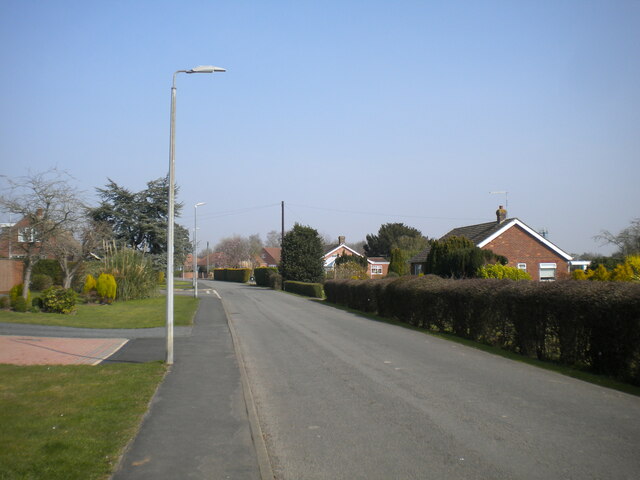
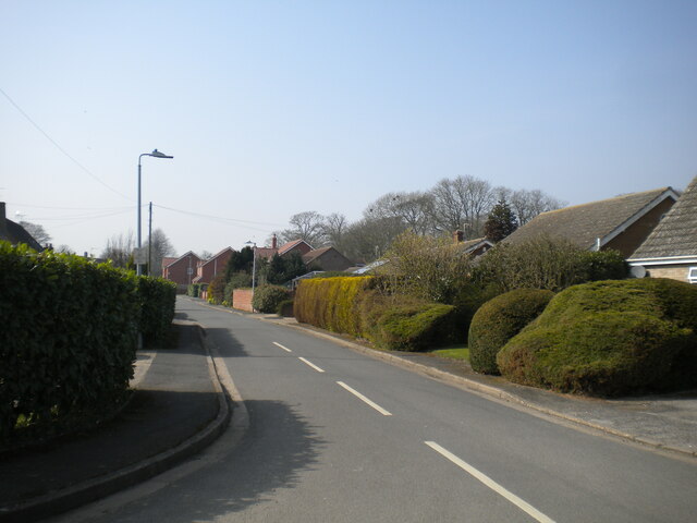
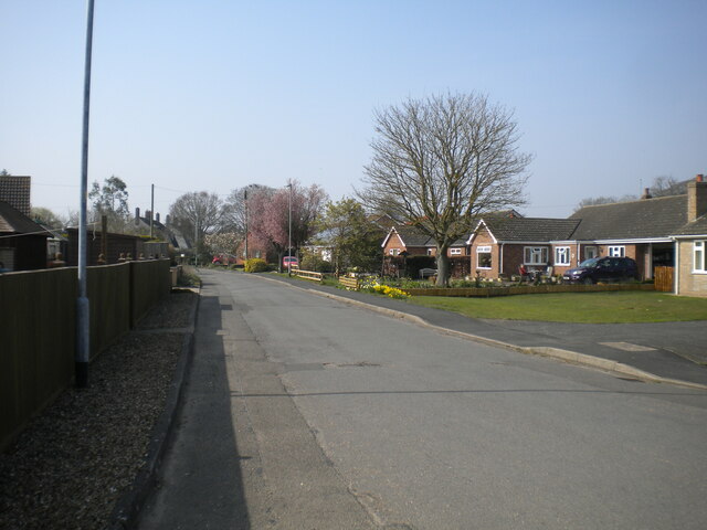
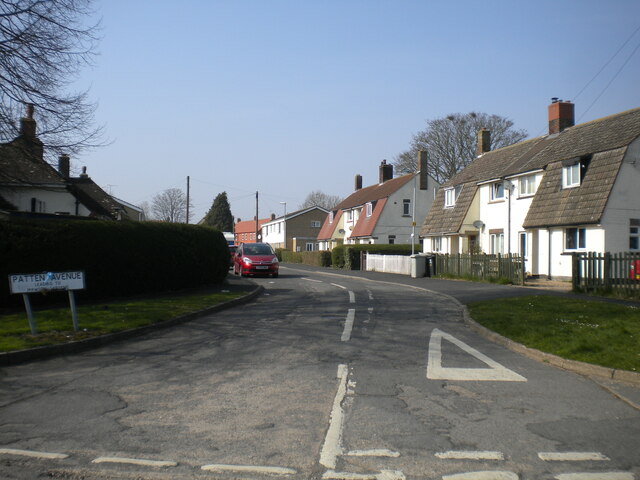
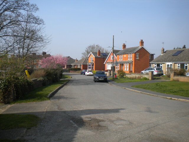
England, New Lincolnshire is a quaint town situated in the eastern part of England, United Kingdom. With a population of approximately 15,000 residents, this charming town offers a peaceful and idyllic setting for its inhabitants. It is located in the county of Lincolnshire, known for its picturesque landscapes and rich history.
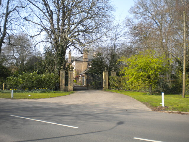
The town is characterized by its beautiful architecture, featuring a blend of traditional English-style buildings and modern structures. The streets are lined with charming shops, cafes, and restaurants, offering a variety of local delicacies and international cuisines.
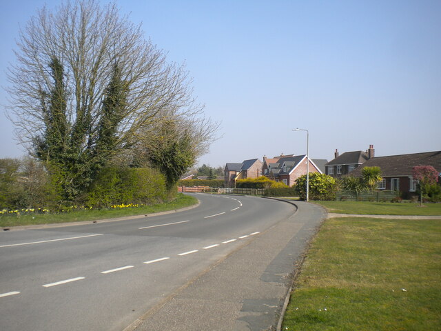
England, New Lincolnshire boasts a strong sense of community, with numerous community events and festivals taking place throughout the year. Residents enjoy participating in activities such as summer fairs, farmers' markets, and local theater productions. The town also has several well-maintained parks and green spaces, providing opportunities for outdoor recreation and leisurely strolls.
Education is highly valued in this town, with a range of schools catering to students of all ages. The educational institutions in England, New Lincolnshire are known for their high standards of teaching and commitment to academic excellence.
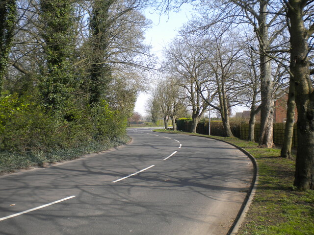
Situated in close proximity to the Lincolnshire Wolds, an Area of Outstanding Natural Beauty, residents of England, New Lincolnshire have easy access to stunning countryside and scenic walking trails. The town is also well-connected, with good transport links to nearby cities such as Lincoln and Grimsby.
Overall, England, New Lincolnshire offers a tranquil and welcoming environment, making it an ideal place to live for those seeking a balance between modern amenities and a relaxed lifestyle.
If you have any feedback on the listing, please let us know in the comments section below.
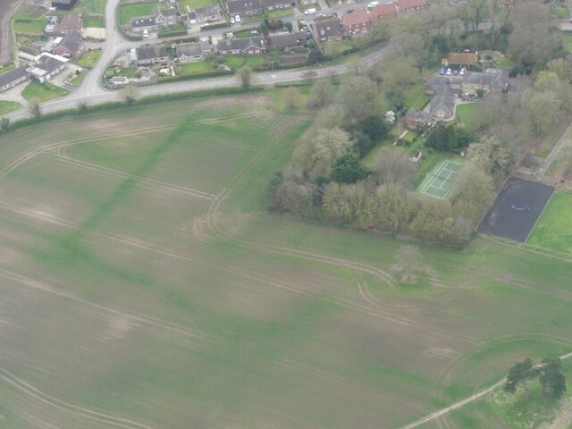
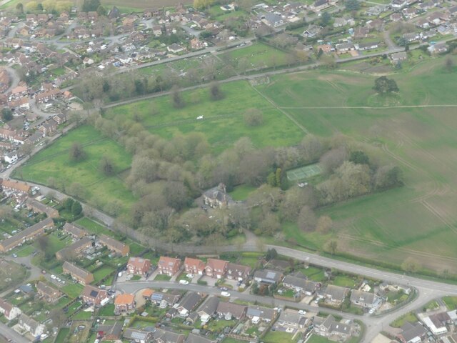
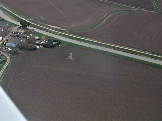
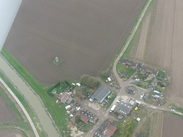
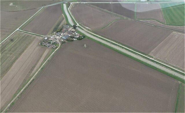
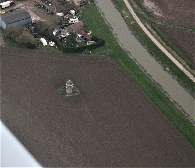
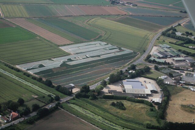
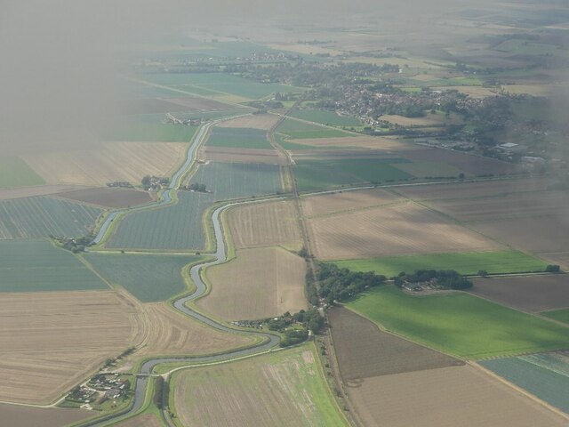
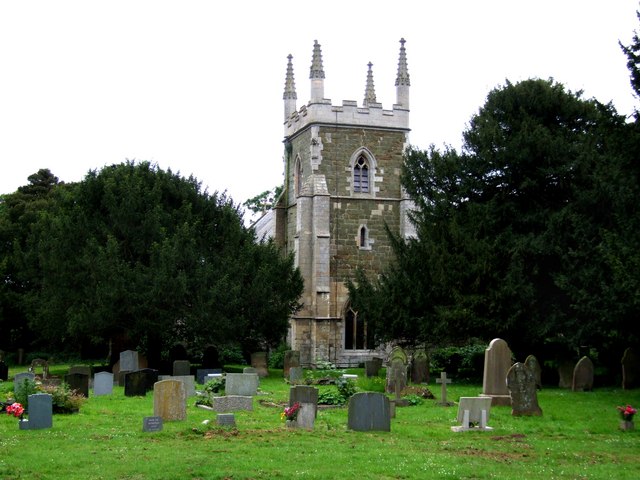
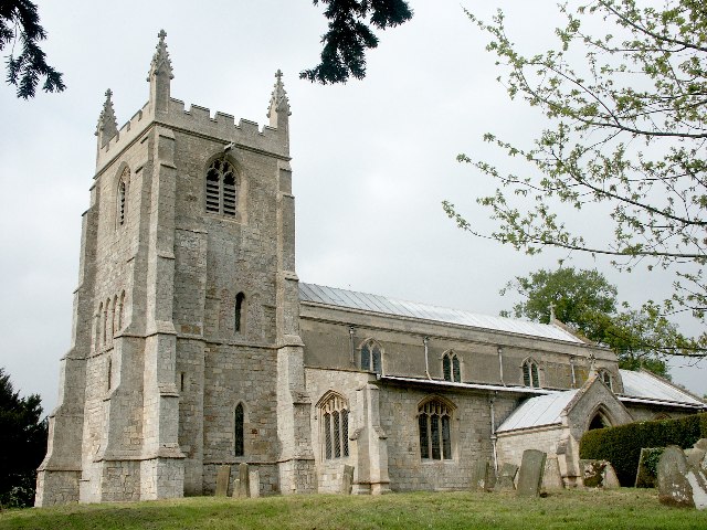
England, New Images
Images are sourced within 2km of 53.110296/0.245493 or Grid Reference TF5059. Thanks to Geograph Open Source API. All images are credited.
England, New is located at Grid Ref: TF5059 (Lat: 53.110296, Lng: 0.245493)
Division: Parts of Lindsey
Administrative County: Lincolnshire
District: East Lindsey
Police Authority: Lincolnshire
What 3 Words
///whom.alerting.stops. Near Wainfleet All Saints, Lincolnshire
Nearby Locations
Related Wikis
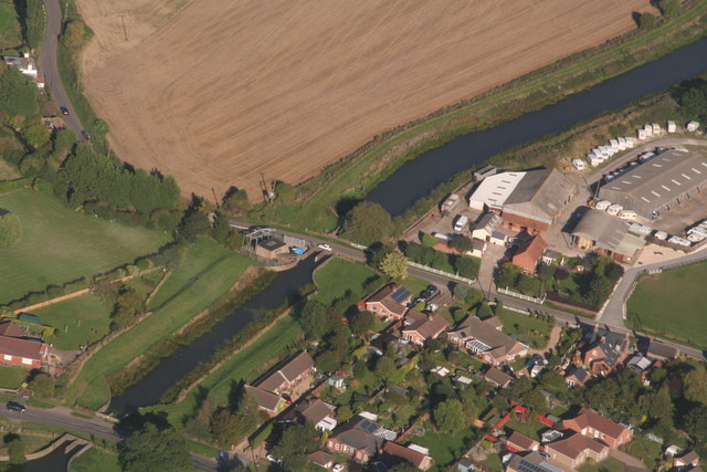
Wainfleet All Saints
Wainfleet All Saints is an ancient port and market town on the east coast of England, in the East Lindsey district of Lincolnshire, on the A52 road 5...
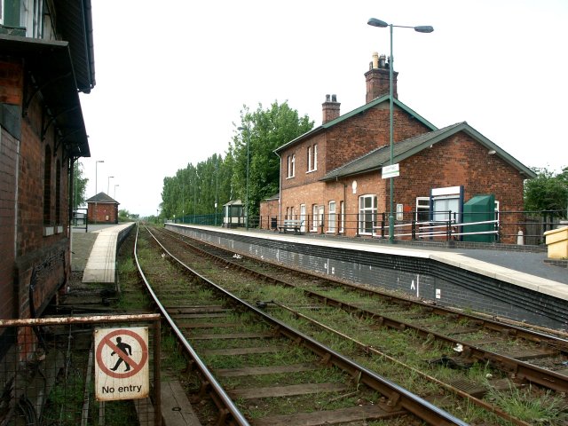
Wainfleet railway station
Wainfleet railway station serves the town of Wainfleet All Saints in Lincolnshire, England. The station has its own signal box at the east end of the platforms...
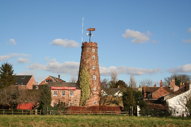
Batemans Brewery
Batemans Brewery (George Bateman & Son Ltd) is an English brewery based at Salem Bridge Brewery in Wainfleet, Lincolnshire, and founded in 1874. The company...

Havenhouse railway station
Havenhouse railway station is situated 3 miles (5 km) south-west of Skegness in Lincolnshire, England. The station was originally called 'Croft Bank'...

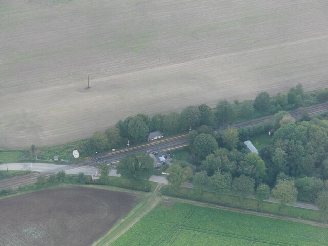
Croft, Lincolnshire
Croft is a small village and civil parish in the East Lindsey district of Lincolnshire, England. The village is situated approximately 2 miles (3 km) north...
Thorpe St Peter
Thorpe St Peter is a village and civil parish in the East Lindsey district of Lincolnshire, England, about 1 mile (1.6 km) north-west from the town of...

Thorpe Culvert railway station
Thorpe Culvert railway station serves the village of Thorpe St Peter in Lincolnshire, England. It is situated 7 miles (11 km) from Skegness and 16.75 miles...
Wainfleet St Mary
Wainfleet St Mary is a village and civil parish in the East Lindsey district of Lincolnshire, England. It is situated directly south of Wainfleet All Saints...
Nearby Amenities
Located within 500m of 53.110296,0.245493Have you been to England, New?
Leave your review of England, New below (or comments, questions and feedback).