Bamborough Field
Downs, Moorland in Lincolnshire East Lindsey
England
Bamborough Field
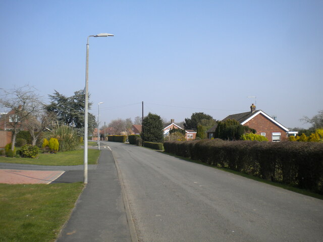
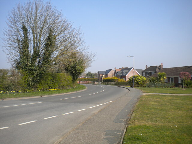
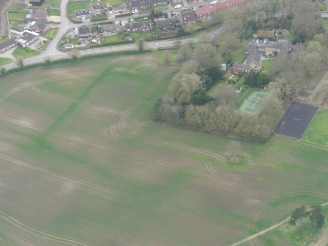
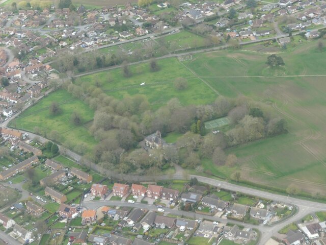
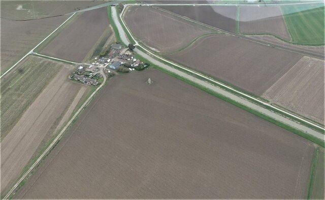
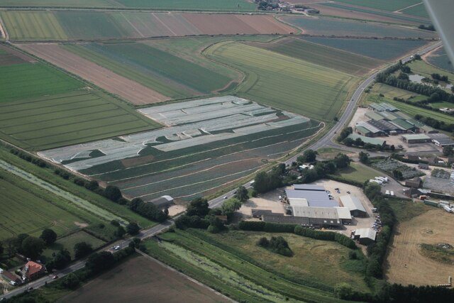
Bamborough Field is a vast expanse of downs and moorland located in Lincolnshire, England. Stretching over several square kilometers, it is a popular destination for nature enthusiasts and outdoor adventurers alike.
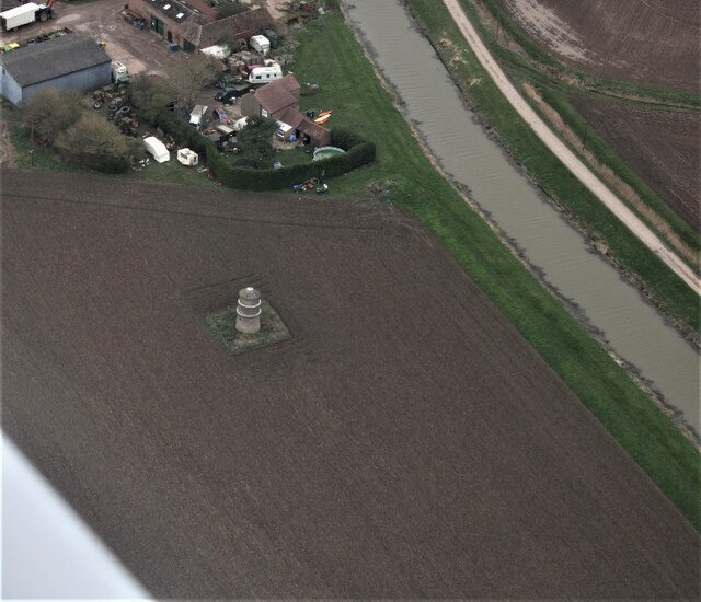
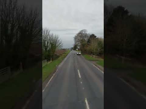
The landscape of Bamborough Field is characterized by its rolling hills, expansive meadows, and rugged moorland. The area is dotted with patches of dense vegetation, including heather, gorse, and grasses, which provide habitats for a diverse range of flora and fauna.
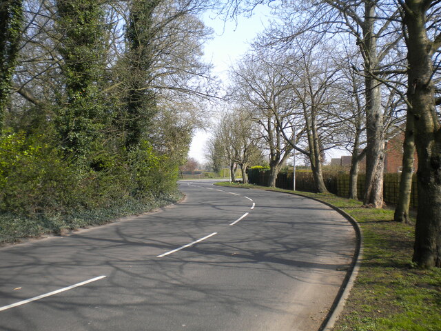
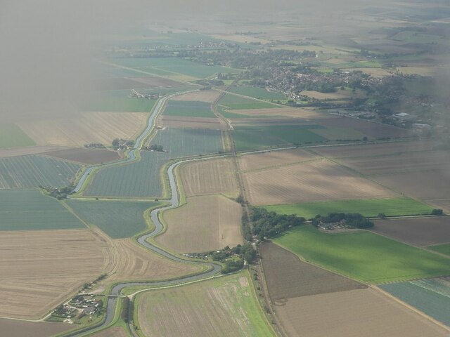
The downs of Bamborough Field offer breathtaking views of the surrounding countryside, with panoramic vistas that extend for miles. The undulating terrain is ideal for those seeking a challenging hike or a peaceful stroll, while the tranquil atmosphere makes it a perfect spot for picnics or simply enjoying the serenity of nature.
The moorland areas of Bamborough Field are a haven for wildlife. Visitors may spot a variety of bird species, including skylarks, buzzards, and meadow pipits. The moorland also supports a healthy population of small mammals, such as rabbits and voles, as well as reptiles like adders and common lizards.
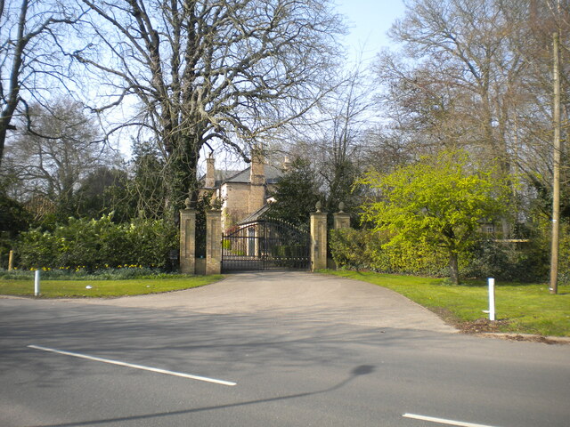
Bamborough Field is not only a natural beauty but also has a rich historical significance. The area is home to several ancient burial mounds and archaeological sites, offering an insight into the region's past. It is also believed to have been inhabited during the Iron Age, as evidenced by the discovery of artifacts and earthworks.
Overall, Bamborough Field in Lincolnshire is a captivating landscape that combines stunning views, diverse ecosystems, and a glimpse into the area's history. It is a place where nature enthusiasts and history buffs can immerse themselves in the beauty and tranquility of the English countryside.
If you have any feedback on the listing, please let us know in the comments section below.
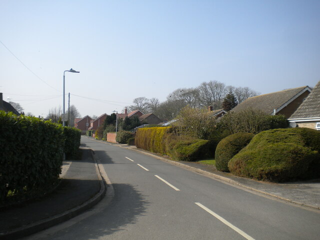
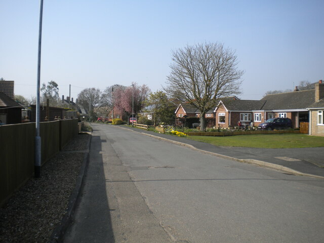
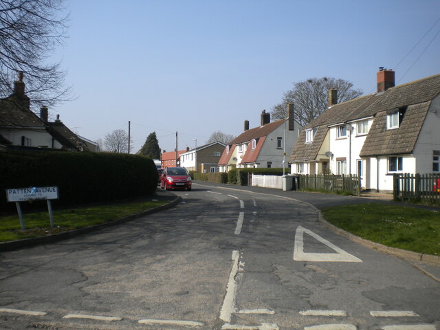
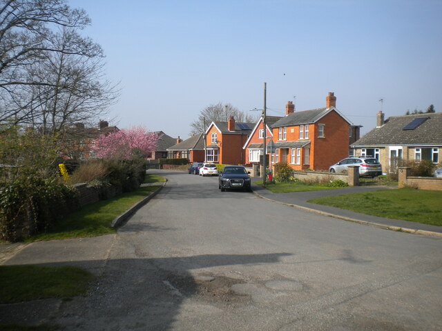
Bamborough Field Images
Images are sourced within 2km of 53.11295/0.24414348 or Grid Reference TF5059. Thanks to Geograph Open Source API. All images are credited.
Bamborough Field is located at Grid Ref: TF5059 (Lat: 53.11295, Lng: 0.24414348)
Administrative County: Lincolnshire
District: East Lindsey
Police Authority: Lincolnshire
What 3 Words
///stands.prepares.exhaling. Near Wainfleet All Saints, Lincolnshire
Nearby Locations
Related Wikis
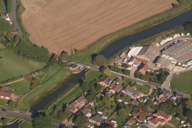
Wainfleet All Saints
Wainfleet All Saints is an ancient port and market town on the east coast of England, in the East Lindsey district of Lincolnshire, on the A52 road 5...
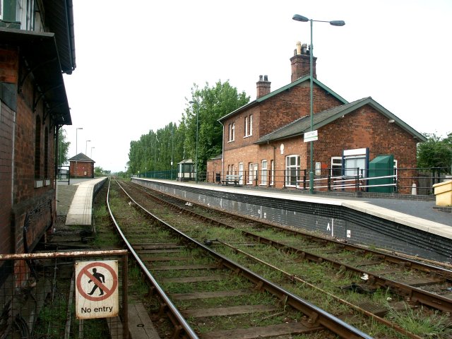
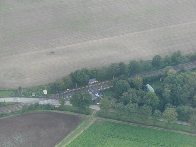
Wainfleet railway station
Wainfleet railway station serves the town of Wainfleet All Saints in Lincolnshire, England. The station has its own signal box at the east end of the platforms...
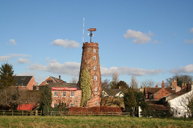
Batemans Brewery
Batemans Brewery (George Bateman & Son Ltd) is an English brewery based at Salem Bridge Brewery in Wainfleet, Lincolnshire, and founded in 1874. The company...

Havenhouse railway station
Havenhouse railway station is situated 3 miles (5 km) south-west of Skegness in Lincolnshire, England. The station was originally called 'Croft Bank'...

Croft, Lincolnshire
Croft is a small village and civil parish in the East Lindsey district of Lincolnshire, England. The village is situated approximately 2 miles (3 km) north...

Thorpe St Peter
Thorpe St Peter is a village and civil parish in the East Lindsey district of Lincolnshire, England, about 1 mile (1.6 km) north-west from the town of...

Thorpe Culvert railway station
Thorpe Culvert railway station serves the village of Thorpe St Peter in Lincolnshire, England. It is situated 7 miles (11 km) from Skegness and 16.75 miles...

Wainfleet St Mary
Wainfleet St Mary is a village and civil parish in the East Lindsey district of Lincolnshire, England. It is situated directly south of Wainfleet All Saints...
Related Videos

HELICOPTER GLAMPING - UK TRAVEL VLOG
This week we're in Lincolnshire in the UK, travel vlogging an amazing unusual accommodation option: Helicopter Glamping at ...

THE RIVER NEARLY TO OVERFLOW IN WAINFLEET 🏴🇬🇧 #uk #shortvideo #travel #weather #river
uk #shortvideo #travel #stormbabet.

THE LOCAL AUTHORITY MAKE SURE EVERYONE IS SAFE FOR IN CASE THE RIVER OVERFLOW 🏴🇬🇧#uk
uk #shortvideo #travel #stormbabet.
ANOTHER RAINY DAY BE SAFE. 🇬🇧 Wainfleet to Boston
travel #shortvideo #uk.
Nearby Amenities
Located within 500m of 53.11295,0.24414348Have you been to Bamborough Field?
Leave your review of Bamborough Field below (or comments, questions and feedback).