Berinsfield
Settlement in Oxfordshire South Oxfordshire
England
Berinsfield

Berinsfield is a village located in the county of Oxfordshire, England. Situated about 7 miles southeast of the city of Oxford, the village is part of the South Oxfordshire district. It has a population of approximately 4,500 residents.
Originally built as a housing estate during the 1950s to accommodate workers from the nearby RAF Abingdon airbase, Berinsfield has since developed into a thriving community with a range of amenities. The village offers various facilities, including a primary school, a community center, a library, and a health center.
Berinsfield is surrounded by picturesque countryside, and residents can enjoy the nearby walking and cycling paths that offer stunning views of the Oxfordshire landscape. The village is also home to a number of parks and green spaces, providing ample opportunities for outdoor activities and recreation.
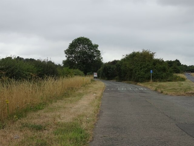
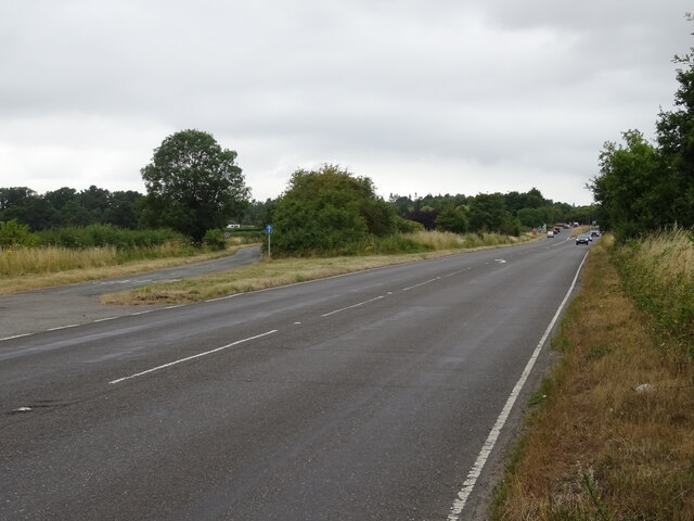
Transportation options in Berinsfield are convenient, with regular bus services connecting the village to nearby towns and cities. The village is easily accessible from the A4074 road, providing convenient links to Oxford and Abingdon.
In terms of social and cultural activities, Berinsfield hosts several community events throughout the year, including festivals, fairs, and sports tournaments. The village also has a range of local shops, pubs, and restaurants, offering a variety of services and dining options for residents and visitors alike.
Overall, Berinsfield offers a peaceful and welcoming environment, combining the tranquility of rural living with the convenience of nearby urban centers.
If you have any feedback on the listing, please let us know in the comments section below.
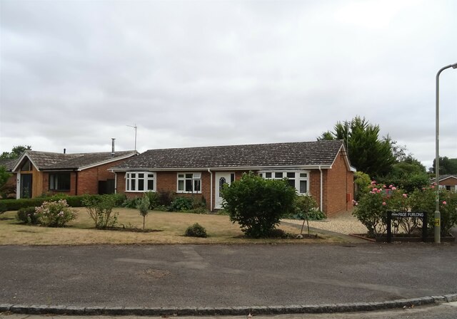
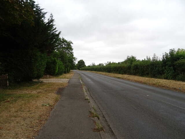
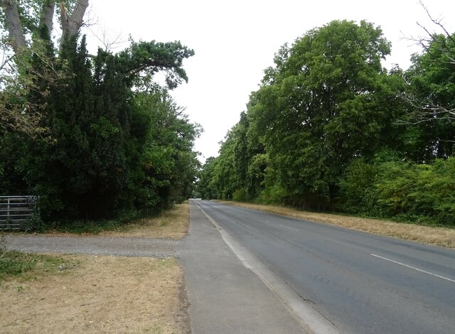
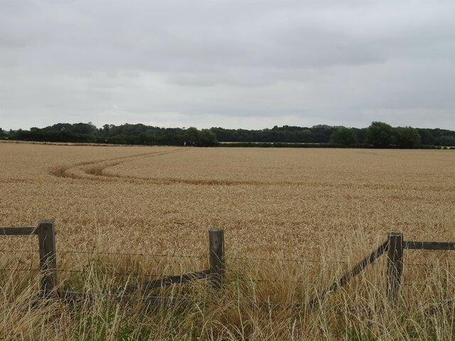
Berinsfield Images
Images are sourced within 2km of 51.663066/-1.177686 or Grid Reference SU5696. Thanks to Geograph Open Source API. All images are credited.


Berinsfield is located at Grid Ref: SU5696 (Lat: 51.663066, Lng: -1.177686)
Administrative County: Oxfordshire
District: South Oxfordshire
Police Authority: Thames Valley
What 3 Words
///muscular.sapping.these. Near Radley, Oxfordshire
Nearby Locations
Related Wikis

Berinsfield
Berinsfield is an English village and civil parish in South Oxfordshire, about 7 miles (11 km) southeast of Oxford. The 2011 Census recorded the parish...
Burcot, Oxfordshire
Burcot is a hamlet in the civil parish of Clifton Hampden, in the South Oxfordshire district, in the county of Oxfordshire, England. It is on the left...

Culham Rural District
Culham was a rural district in Oxfordshire, England, from 1894 to 1932. It was formed under the Local Government Act 1894 from the part of the Abingdon...

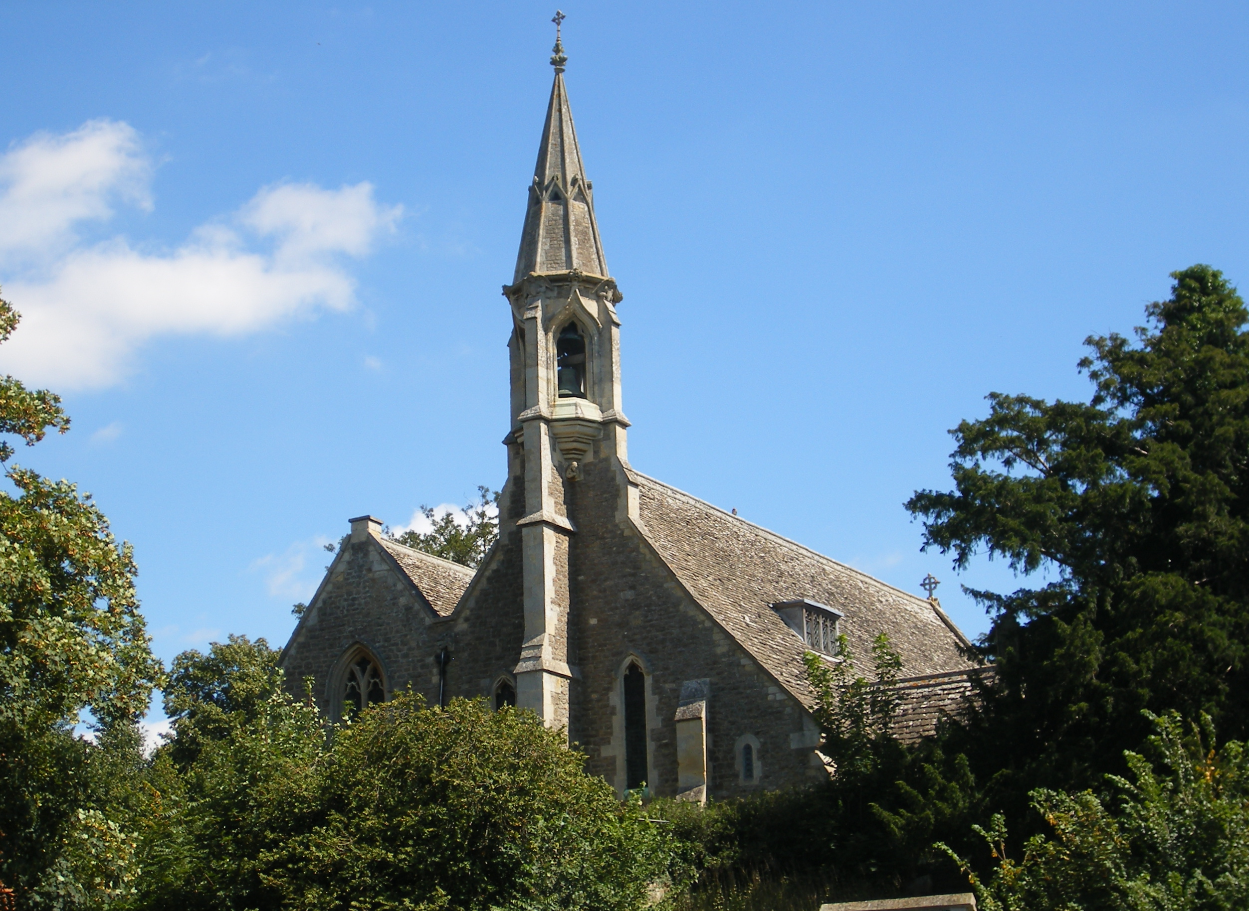
Little Baldon air crash
The Little Baldon air crash occurred on 6 July 1965 when a Handley Page Hastings C1A transport aircraft operated by No. 36 Squadron Royal Air Force, registration...
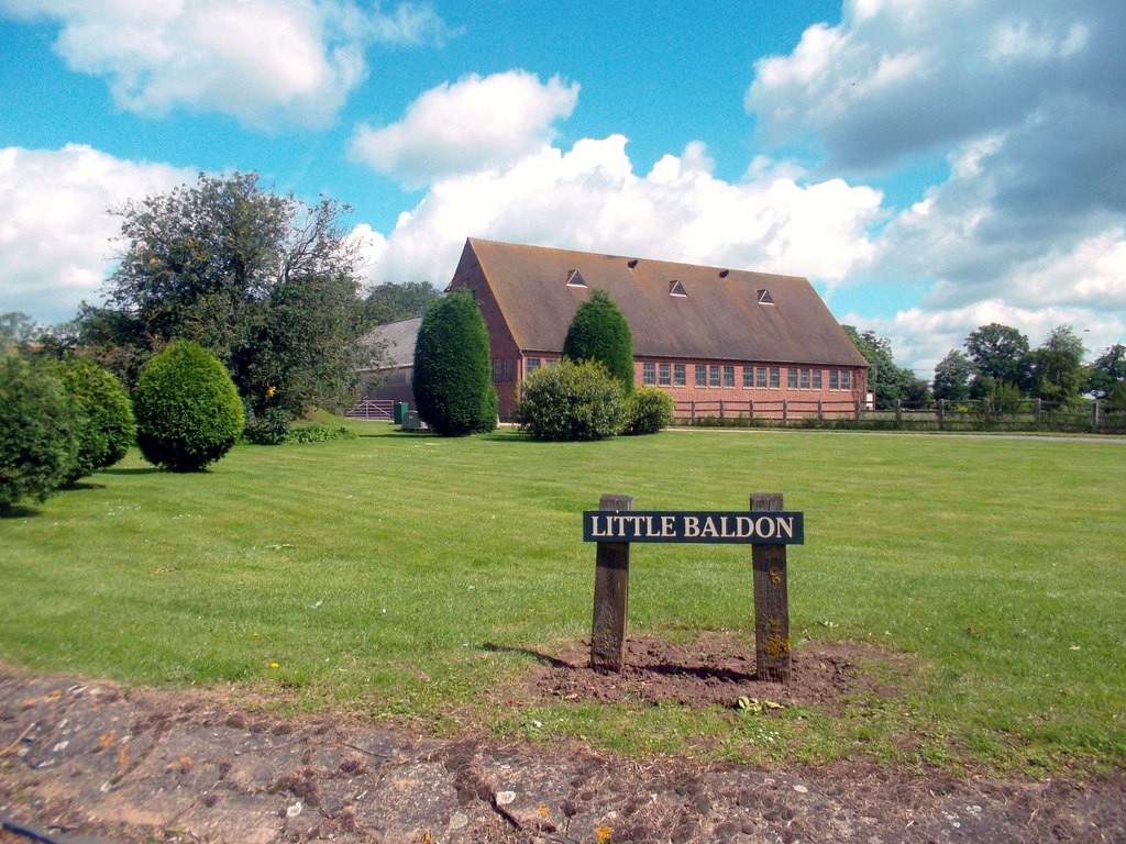
Little Baldon
Little Baldon is a hamlet in the Marsh Baldon civil parish, about 5 miles (8 km) southeast of Oxford in Oxfordshire, south of Marsh Baldon and west of...
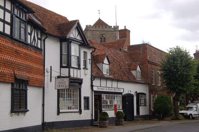
Dorchester on Thames
Dorchester on Thames (or Dorchester-on-Thames) is a village and civil parish in Oxfordshire, about 3 miles (5 km) northwest of Wallingford and 8 miles...
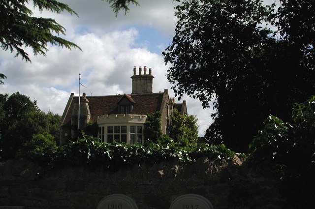
Clifton Hampden Manor
Clifton Hampden Manor is a country house in the village of Clifton Hampden, Oxfordshire, England, overlooking the River Thames. It has been a Grade II...
Clifton Hampden
Clifton Hampden is a village and civil parish on the north bank of the River Thames, just over 3 miles (5 km) east of Abingdon in Oxfordshire. Since 1932...
Nearby Amenities
Located within 500m of 51.663066,-1.177686Have you been to Berinsfield?
Leave your review of Berinsfield below (or comments, questions and feedback).