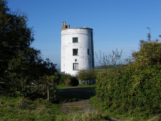
Berhill

Settlement in Somerset Sedgemoor

England

Berhill

Butleigh Drove Butleigh Drove on Butleigh Moor, looking east towards Nythe.
Butleigh Drove Credit: Kevin Pearson

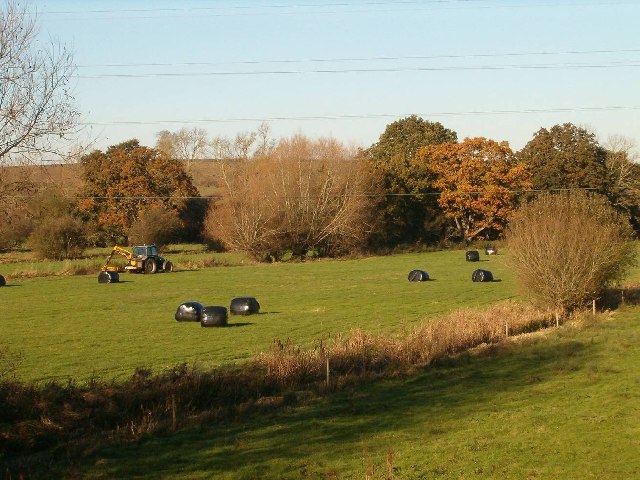
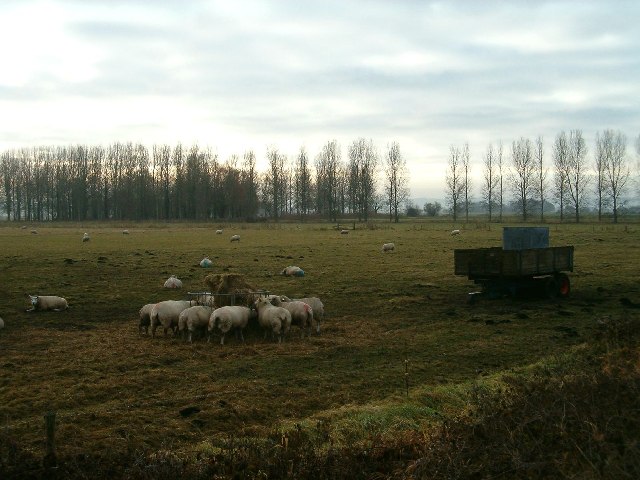
Berhill is a small village located in the county of Somerset, England. Situated in the picturesque countryside, it lies approximately 10 miles northeast of the town of Taunton. The village is surrounded by rolling hills and lush green fields, providing a tranquil and scenic setting for its residents.

With a population of around 500 people, Berhill is a close-knit community known for its friendly and welcoming atmosphere. The village is primarily residential, with a mix of traditional cottages and more modern housing developments. The architecture reflects the area's rural charm, with many buildings made of local stone.

Although small in size, Berhill boasts a number of amenities for its residents. These include a village hall, where various community events and gatherings take place, a local pub, and a small convenience store for everyday essentials. The village also has a primary school, ensuring that families with young children have access to education within the community.

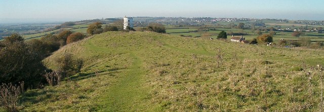
For outdoor enthusiasts, Berhill offers plenty of opportunities to explore the surrounding countryside. There are several footpaths and bridleways that crisscross the area, allowing residents to enjoy leisurely walks or bike rides. The nearby Quantock Hills, designated as an Area of Outstanding Natural Beauty, are also within easy reach, offering stunning views and a range of outdoor activities.

Overall, Berhill is a charming and peaceful village, providing a quality of life that is highly sought after by those looking to escape the hustle and bustle of urban living.

If you have any feedback on the listing, please let us know in the comments section below.

Berhill Images

Images are sourced within 2km of 51.120263/-2.793674 or Grid Reference ST4435. Thanks to Geograph Open Source API. All images are credited.

Butleigh Drove Butleigh Drove on Butleigh Moor, looking east towards Nythe.
Butleigh Drove
Butleigh Drove on Butleigh Moor, looking east towards Nythe.
Butleigh Moor A view south over Butleigh Moor, taken from Butleigh Drove.  Pedwill Hill in the distance.
Butleigh Moor
A view south over Butleigh Moor, taken from Butleigh Drove. Pedwill Hill in the distance.
Old Milestone, A39, Main Street, West of Walton The milestone was located near Lynch Farm on the grass verge on the north side of the road. Parish of Walton (Mendip district). Cast iron post, plated iron casting design, erected by the Bridgwater turnpike trust in the 19th century.  The date of the image is not known but it was taken before the milestone went missing sometime between 2000 and 2002.

Inscription reads: 
WELLS / 10 /GLASTONBURY / 4 /B. WATER / 10 ; LINCH FARM painted on front edge 

Grade II Listed, List Entry Number: 1058721
<span class="nowrap"><a title="https://historicengland.org.uk/listing/the-list/list-entry/1058721" rel="nofollow ugc noopener" href="https://historicengland.org.uk/listing/the-list/list-entry/1058721">Link</a><img style="margin-left:2px;" alt="External link" title="External link - shift click to open in new window" src="https://s1.geograph.org.uk/img/external.png" width="10" height="10"/></span>

Milestone Society National ID: SO_BWWL10
Old Milestone, A39, Main Street, West of Walton
The milestone was located near Lynch Farm on the grass verge on the north side of the road. Parish of Walton (Mendip district). Cast iron post, plated iron casting design, erected by the Bridgwater turnpike trust in the 19th century. The date of the image is not known but it was taken before the milestone went missing sometime between 2000 and 2002. Inscription reads: WELLS / 10 /GLASTONBURY / 4 /B. WATER / 10 ; LINCH FARM painted on front edge Grade II Listed, List Entry Number: 1058721 LinkExternal link Milestone Society National ID: SO_BWWL10
Ashcott - Parish Church All Saints Church has a 15th century tower.
Ashcott - Parish Church
All Saints Church has a 15th century tower.
Ashcott - Church Interior view of All Saints Church.
Ashcott - Church
Interior view of All Saints Church.
Ashcott - Font Plain Norman font within All Saints Church.
Ashcott - Font
Plain Norman font within All Saints Church.
The A361 about to join the A39
The disused Walton Gateway pub on the A39
The Royal Oak pub and car park on the A39
Walton : Broughton Close A road off the A39.
Walton : Broughton Close
A road off the A39.
Village Hall, Walton
Small Moor, Walton
Small Moor, Walton
Towards Ben Ash Farm, Walton
Parish Church, Walton
Restored Pump, Walton
Farmland at Bramble Hill, Walton
Converted Windmill, Walton Hill
Sheep May Safely Graze
Show me another place!

Berhill is located at Grid Ref: ST4435 (Lat: 51.120263, Lng: -2.793674)

Administrative County: Somerset

District: Sedgemoor

Police Authority: Avon and Somerset

What 3 Words

///bricks.hiring.darker. Near Street, Somerset

Nearby Locations

Berhill Priest Hill

Related Wikis

Ashcott

Ashcott is a small village and civil parish located in the Sedgemoor area of Somerset in the south-west of England. The village has a population of 1...

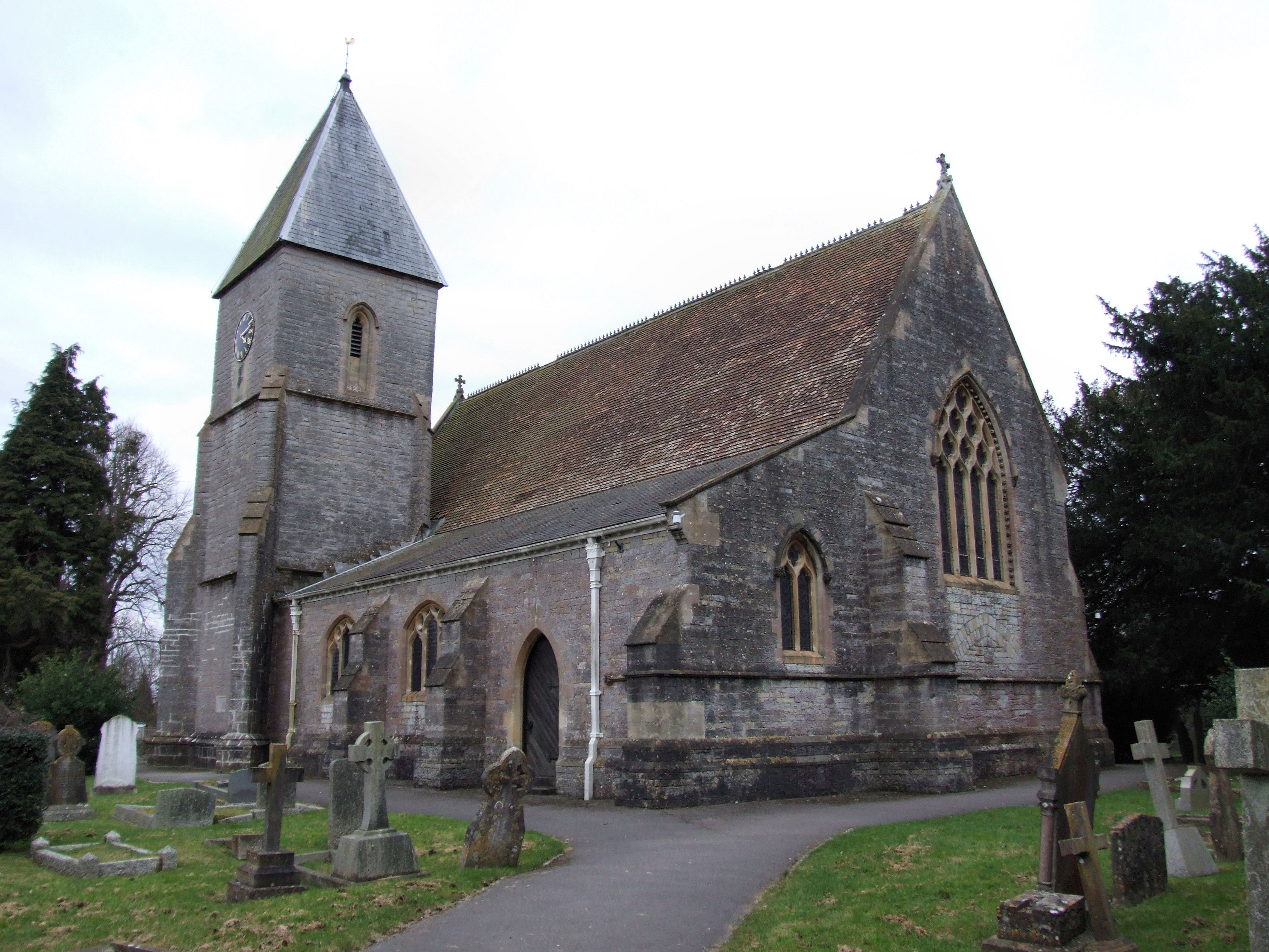
Church of All Saints, Ashcott

The Anglican Church of All Saints in Ashcott, Somerset, England was built in the 15th century. It is a Grade II* listed building. == History == The church...

Walton, Somerset

Walton is a village and civil parish on the Polden Hills in Somerset, England, 1.5 miles (2.4 km) west of Street. The parish includes the hamlet of Asney...

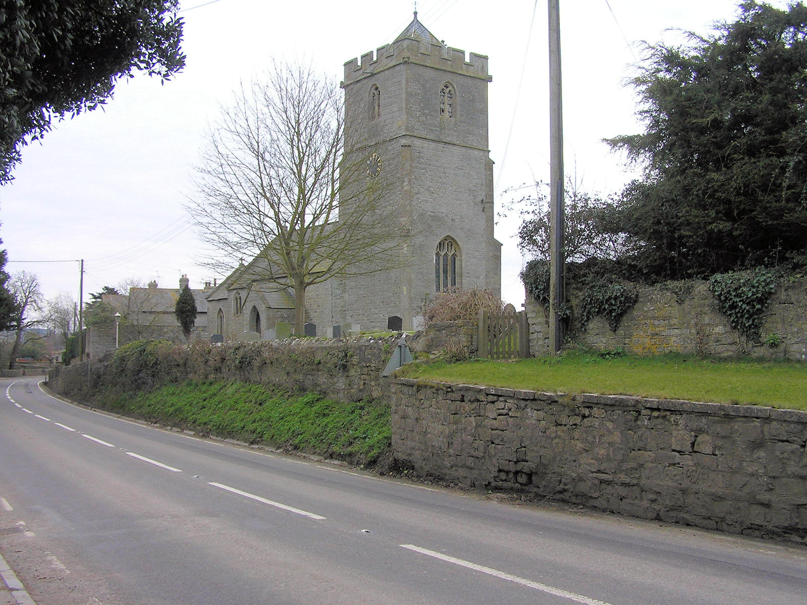
Holy Trinity Church, Walton

Holy Trinity Church is a Church of England church in Walton, Somerset, England. It was rebuilt in 1865–66 to the design of Rev. J. F. Turner and is a Grade...

Shapwick Moor

Shapwick Moor is an area of 138 acres (0.56 km2) of farmland on the Somerset levels bordering Shapwick Heath and Cattcot Heath. It is part of the Brue...

Sharpham

Sharpham is a village and civil parish on the Somerset Levels near Street and Glastonbury in the Mendip district of Somerset, England. It is located near...

Walton and Ivythorn Hills

Walton and Ivythorn Hills is a 34.9 hectares (86 acres) biological Site of Special Scientific Interest near Street at the south-eastern end of the Polden...

Greinton

Greinton is a village and civil parish in Somerset, England, situated on the Somerset Levels and Moors at the foot of the Polden Hills, 9 kilometres (5...

Nearby Amenities

Located within 500m of 51.120263,-2.793674
Power: tower
Lat/Long: 51.1202895/-2.7995677
Power: tower
Lat/Long: 51.1222726/-2.7975335
Power: tower
Lat/Long: 51.123185/-2.7934222
Berhill
Place: hamlet
Source: NPE
Lat/Long: 51.1202944/-2.7954896
Post Box
Brand: Royal Mail
Brand Wikidata: Q638098
Brand Wikipedia: en:Royal Mail
Operator: Royal Mail
Operator Wikidata: Q638098
Post Box Type: wall
Ref: TA7 139
Royal Cypher: EVIIR
Royal Cypher Wikidata: Q33102324
Lat/Long: 51.1232395/-2.7987499
The data included in this document is from www.openstreetmap.org. The data is made available under ODbL.

Have you been to Berhill?

Leave your review of Berhill below (or comments, questions and feedback).