Bentley Heath
Settlement in Middlesex Hertsmere
England
Bentley Heath
Bentley Heath is a small suburban area located in the county of Middlesex, England. Situated approximately 14 miles northwest of central London, it falls within the jurisdiction of the London Borough of Bromley. The area is primarily known for its residential character, offering a peaceful and family-friendly environment.
Bentley Heath boasts a mix of housing options, ranging from detached houses to semi-detached properties and apartments. The architecture is varied, reflecting the area's development over time. The streets are lined with well-maintained gardens and trees, contributing to the overall pleasant aesthetic.
The community in Bentley Heath is tight-knit and friendly, with a strong sense of belonging. Local amenities include a range of shops, cafes, and restaurants, providing residents with convenient access to everyday necessities. For those seeking outdoor recreation, there are several parks and green spaces nearby, offering opportunities for leisurely walks or picnics.
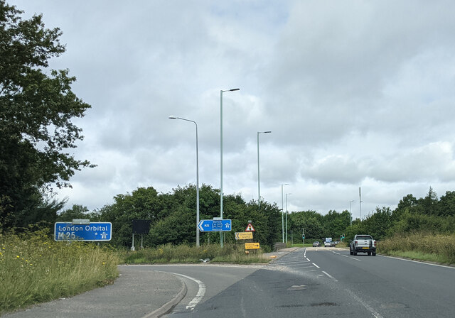
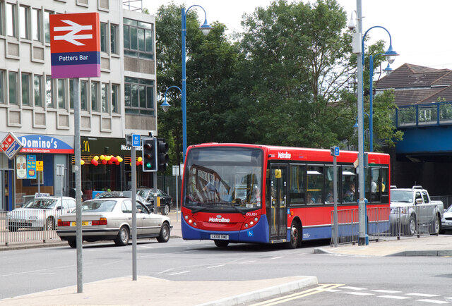
Transportation in Bentley Heath is well-connected, with various bus routes servicing the area and providing links to neighboring towns and London. The nearby A41 road allows for easy access to the wider road network, making commuting by car straightforward.
Bentley Heath benefits from proximity to reputable schools, making it an attractive location for families with children. Additionally, the area is within reach of several healthcare facilities, ensuring convenient access to medical services.
Overall, Bentley Heath offers a peaceful suburban lifestyle while remaining well-connected to surrounding areas, making it an appealing place to call home.
If you have any feedback on the listing, please let us know in the comments section below.
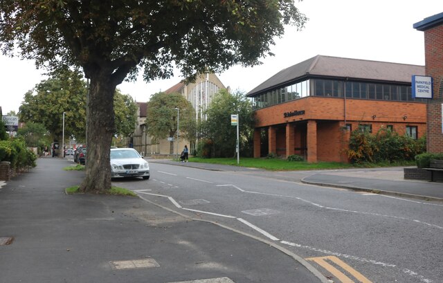
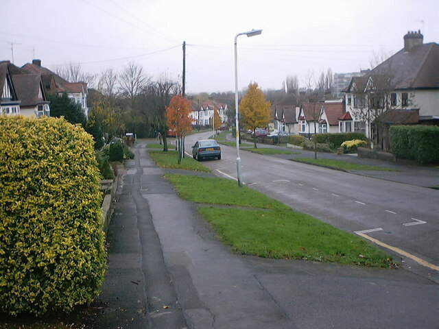
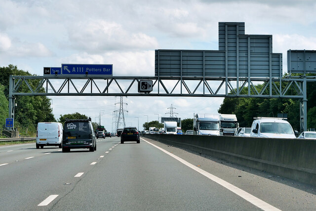
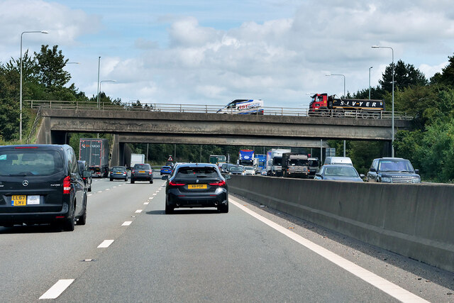
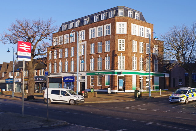
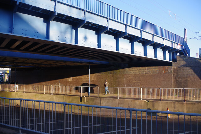
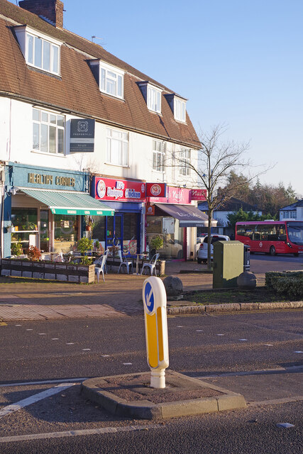
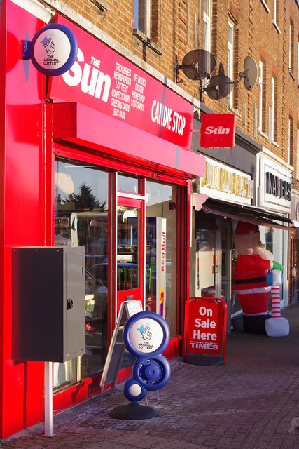
Bentley Heath Images
Images are sourced within 2km of 51.683514/-0.191099 or Grid Reference TQ2599. Thanks to Geograph Open Source API. All images are credited.


Bentley Heath is located at Grid Ref: TQ2599 (Lat: 51.683514, Lng: -0.191099)
Administrative County: Hertfordshire
District: Hertsmere
Police Authority: Hertfordshire
What 3 Words
///falls.zeal.healers. Near Potters Bar, Hertfordshire
Nearby Locations
Related Wikis

Bentley Heath, Hertfordshire
Bentley Heath is a hamlet in Hertfordshire, England, between Chipping Barnet and Potters Bar. It is on the north edge of the Wrotham Park estate with which...

Ganwick House
Ganwick House is a late-18th-century house in Wagon Road, Ganwick Corner (Gannic Corner), near Chipping Barnet, England. As of 2018, it was in use as a...

Potters Bar Urban District
Potters Bar Urban District was a local government district in England from 1894 to 1974, covering the town of Potters Bar and the village of South Mimms...

M16 motorway
The M16 motorway was the designation planned in the late 1960s and early 1970s for use on Ringway 3, a new motorway planned as part of the London Ringways...

Wrotham Park
Wrotham Park (pronounced , ROO-təm) is a neo-Palladian English country house in the parish of South Mimms, Hertfordshire. It lies south of the town of...
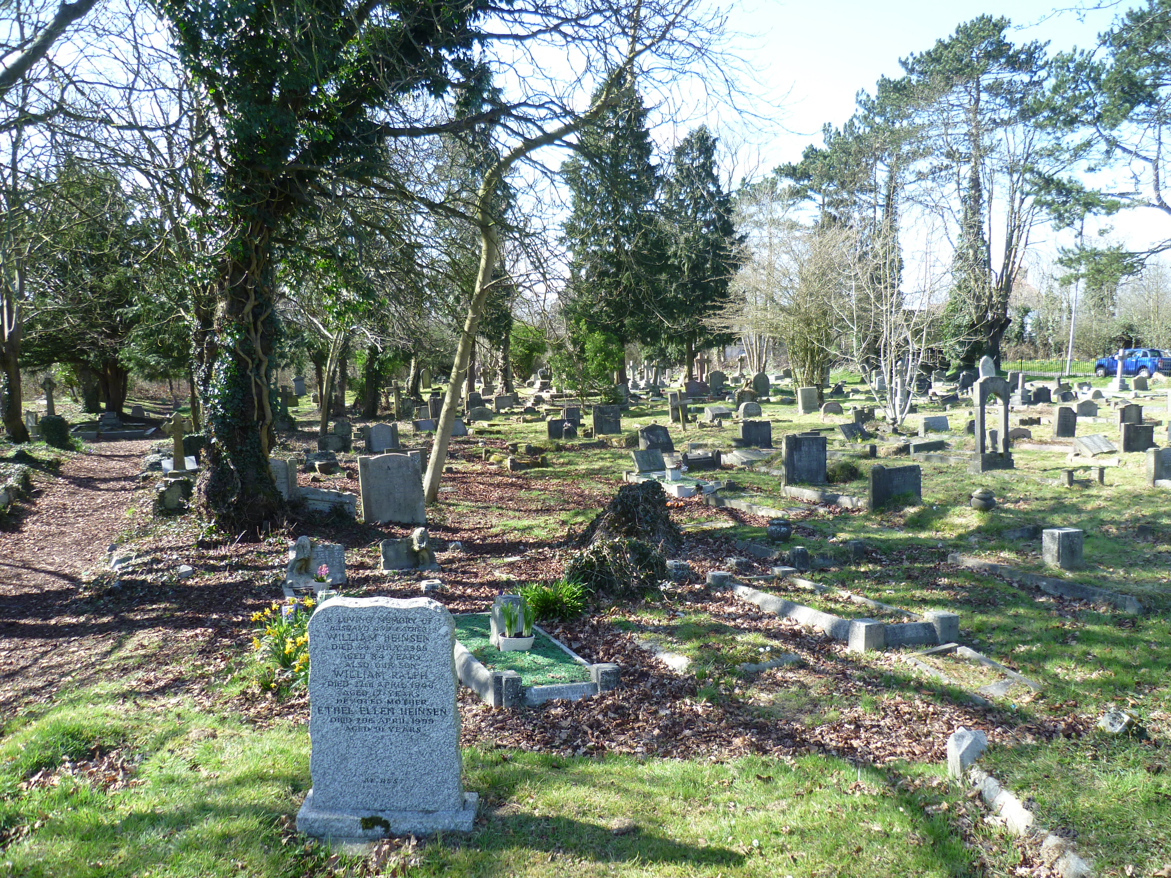
Mutton Lane Cemetery
Mutton Lane Cemetery, officially known as St Mary's Cemetery, is a cemetery in Mutton Lane, Potters Bar, Hertfordshire, that is associated with nearby...

Potters Bar Old Baptist Church
The Potters Bar Old Baptist Church, as it is now known, is a former church in Hertfordshire, England. It was designed by W. Allen Dixon in 1868. Dixon...
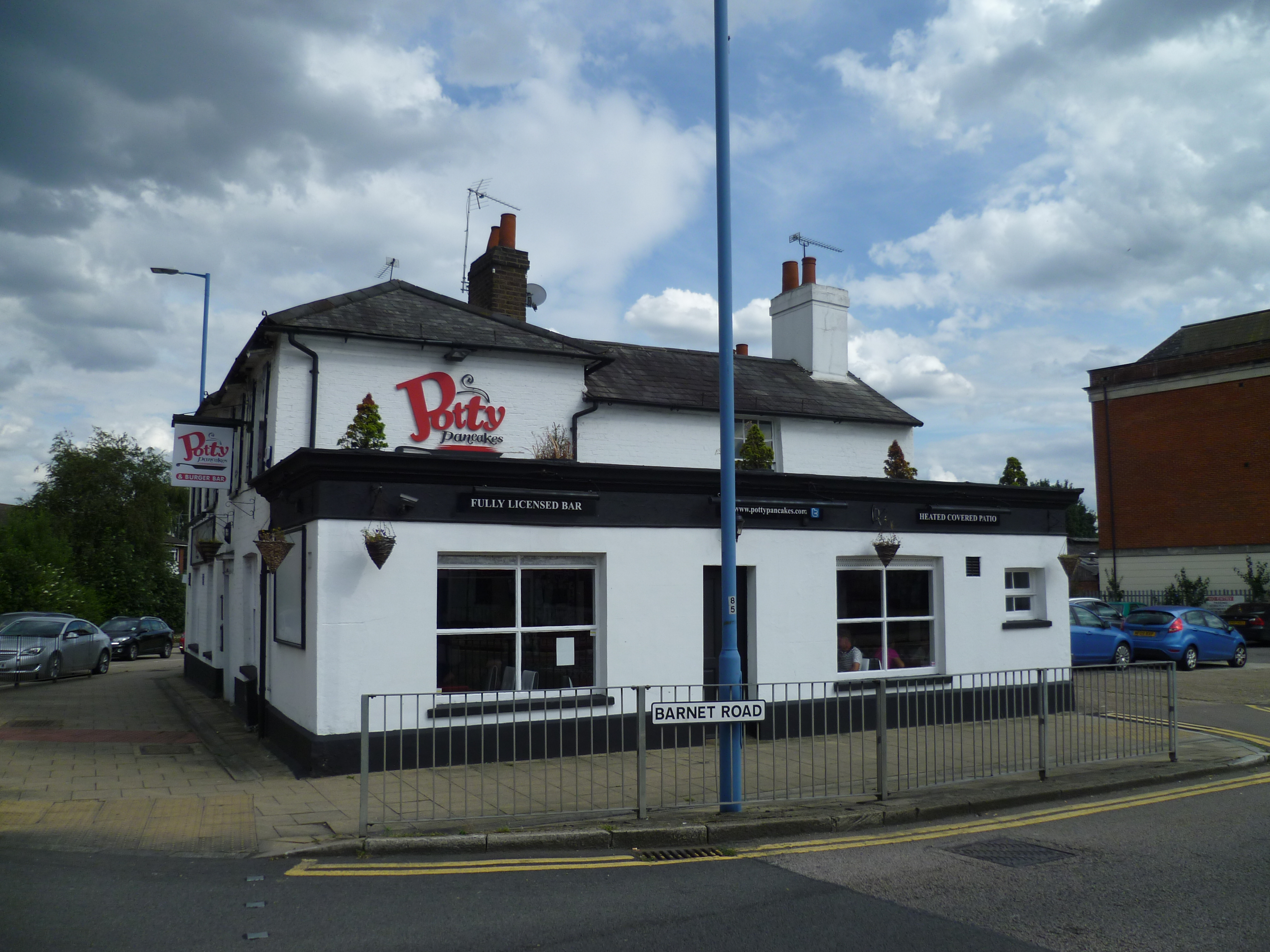
The Lion, Potters Bar
The Lion is a former public house on the corner of Barnet Road and Southgate Road in Potters Bar, Hertfordshire, England, and a grade II listed building...
Nearby Amenities
Located within 500m of 51.683514,-0.191099Have you been to Bentley Heath?
Leave your review of Bentley Heath below (or comments, questions and feedback).