Ganwick Corner

Settlement in Middlesex Hertsmere

England

Ganwick Corner

Potty's car park on Barnet Road, Potters Bar Potty's is on the corner of the road and is a pancake house.
Potty's car park on Barnet Road, Potters Bar Credit: David Howard

Ganwick Corner is a small, rural village located in the county of Middlesex, England. Situated approximately 20 miles northwest of central London, it falls within the London commuter belt. The village is surrounded by picturesque countryside, with rolling hills and meandering streams, providing a tranquil and idyllic setting for its residents.

With a population of around 500, Ganwick Corner is a close-knit community characterized by its friendly and welcoming atmosphere. The village is known for its strong sense of community spirit, with various social events and gatherings organized throughout the year. The local village hall serves as a hub for these activities, hosting everything from craft fairs to charity fundraisers.

In terms of amenities, Ganwick Corner boasts a small convenience store, catering to the everyday needs of residents. There is also a traditional village pub, The Swan Inn, which is a popular meeting place for locals and visitors alike. The pub offers a selection of locally brewed ales and hearty pub meals, further enhancing the village's sense of community.

The surrounding countryside provides ample opportunities for outdoor activities, such as hiking and cycling, with several scenic trails and paths accessible from the village. The nearby Ganwick Forest is a popular destination for nature enthusiasts, offering a diverse range of flora and fauna.

Despite its rural setting, Ganwick Corner benefits from good transport links. The village is served by regular bus services, connecting residents to nearby towns and cities. For those commuting to London, the closest train station is just a short drive away, providing easy access to the capital.

Overall, Ganwick Corner is a charming village that offers a peaceful and close-knit community, surrounded by beautiful countryside and providing a convenient location for both rural living and commuting to nearby urban centers.

If you have any feedback on the listing, please let us know in the comments section below.

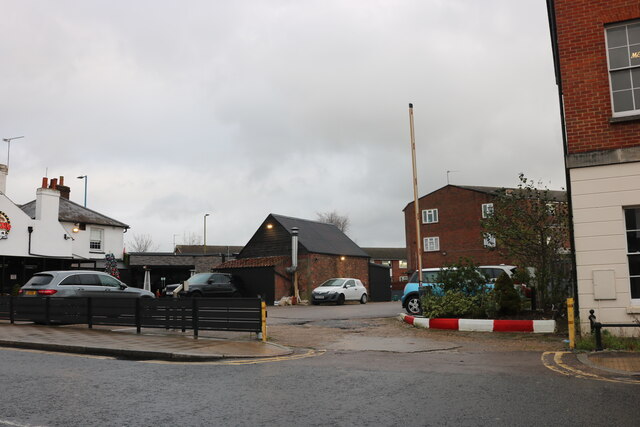
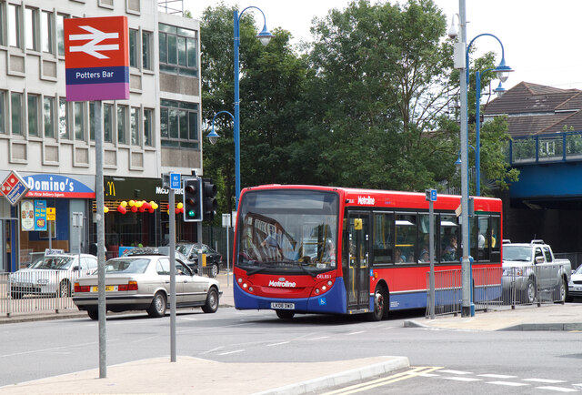
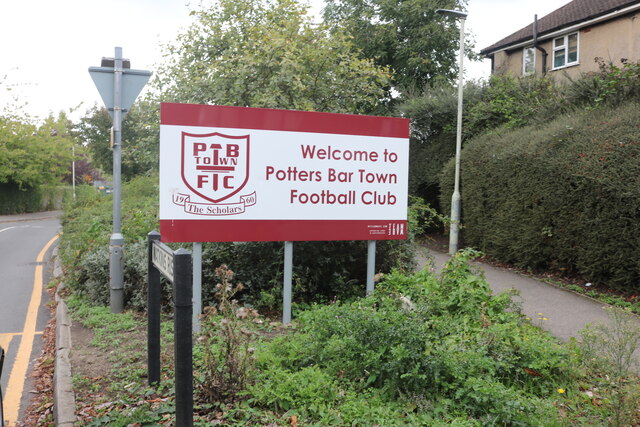
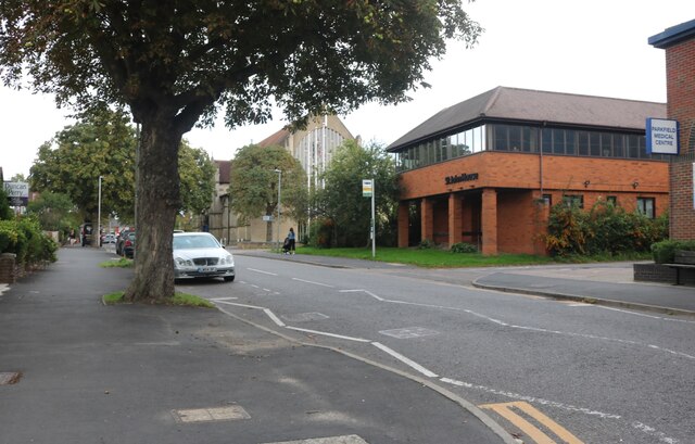
Ganwick Corner Images

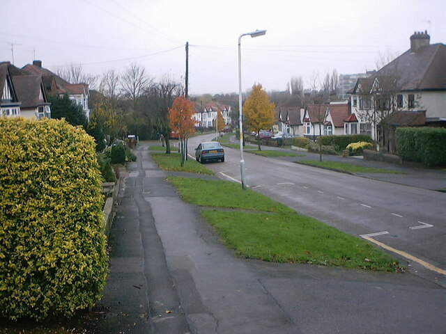
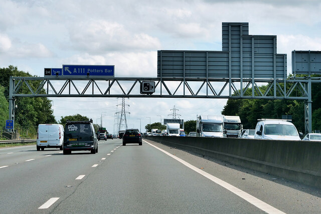
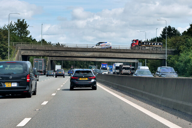
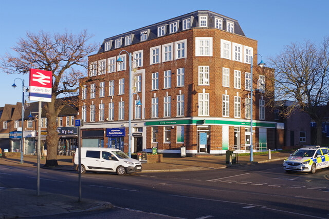
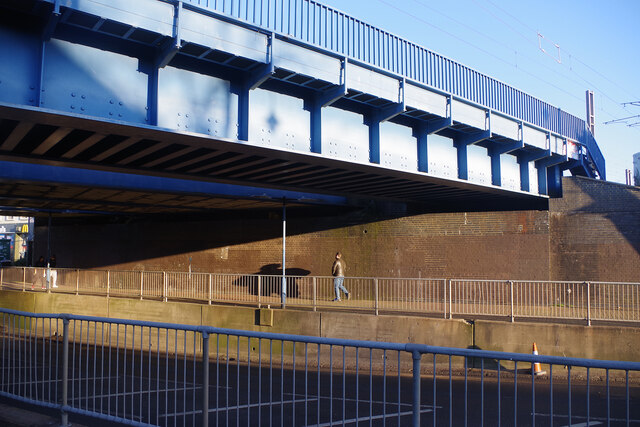
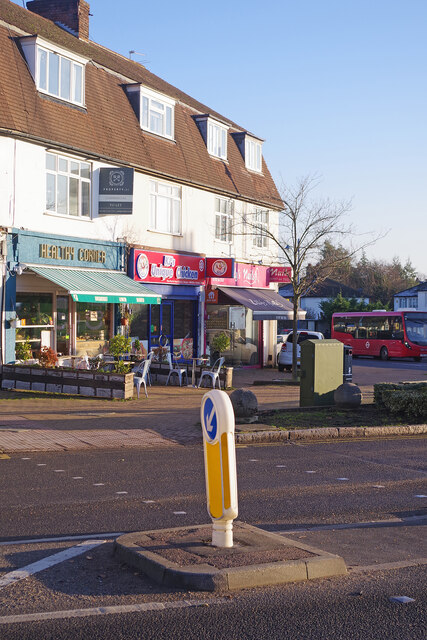
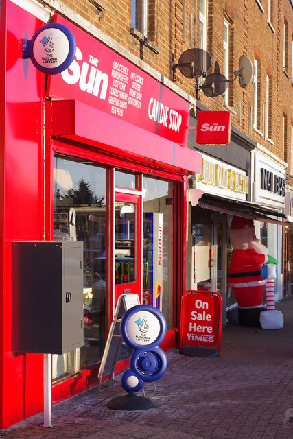
Images are sourced within 2km of 51.680178/-0.184722 or Grid Reference TQ2599. Thanks to Geograph Open Source API. All images are credited.

Potty's car park on Barnet Road, Potters Bar Potty's is on the corner of the road and is a pancake house.
Potty's car park on Barnet Road, Potters Bar
Potty's is on the corner of the road and is a pancake house.
Area around Potters Bar station
Potters Bar - Eunice & Franklin topple scaffolding On Friday (18/2/22) as Storm Eunice swept across the UK, this upper section of Potters Bar High Street was closed as a large construction of scaffolding was teetering, and some had already fallen along (I believe) with part of the building's roof.
I don't know if the road was later re-opened, but in the small hours of Monday (21/2/22) Storm Franklin went one better - bringing down a whole section of the scaffolding and spraying it across the High Street into Oakmere Park on the opposite side of the road. Needless to say, the road is definitely closed again and I would think it will remain that way for quite some time.
Potters Bar - Eunice & Franklin topple scaffolding
On Friday (18/2/22) as Storm Eunice swept across the UK, this upper section of Potters Bar High Street was closed as a large construction of scaffolding was teetering, and some had already fallen along (I believe) with part of the building's roof. I don't know if the road was later re-opened, but in the small hours of Monday (21/2/22) Storm Franklin went one better - bringing down a whole section of the scaffolding and spraying it across the High Street into Oakmere Park on the opposite side of the road. Needless to say, the road is definitely closed again and I would think it will remain that way for quite some time.
The entrance to Potters Bar FC This was the closest I could see to an actual entrance. There were no signs or clues otherwise besides the one opposite.
The entrance to Potters Bar FC
This was the closest I could see to an actual entrance. There were no signs or clues otherwise besides the one opposite.
Potters Bar FC car park The entrance to the stadium to the right of the block is a well kept secret.
Potters Bar FC car park
The entrance to the stadium to the right of the block is a well kept secret.
The entrance to Potters Bar FC
The Walks, Potters Bar
Parkfield Medical Centre, Potters Bar
Houses on Strafford Gate
M25 near to Potters Bar Officially named the London Orbital and frequently derided as nothing more than a very big car park, the M25 is a 117-mile orbital motorway that encircles London; one of the world's biggest ring roads (Europe's second longest orbital road after the Berliner Ring, which is 122 miles). It is not, however, a continuous loop of motorway as the Dartford Crossing section (comprising the Dartford Tunnels and the Queen Elizabeth II Bridge) over the Thames and its approach roads are designated as the A282. 

Constructed between 1975 and 1986, the M25 is reputedly the most expensive motorway Britain ever built, costing a total of £909m or roughly £7.5m per mile, but at the time of its planning, the demand for the road was considerably underestimated so that when it was finally completed in 1986, it was already out of date. Demand outstripped capacity within a few years and ever since then it's been very heavily congested. 

The M25 is one of the UK’s busiest motorways, carrying up to 200,000 vehicles and 10,000 HGVs per day (AADT - Annual Average Daily Traffic flow) on the section near to Heathrow Airport. Since its opening in the 1980s, the southern, western and eastern sections have been widened to largely dual four lane (D4M) standard, but much of the motorway retains its dual three lane road (D3M) cross-section as originally built. 

The M25 was home to England's first Variable Speed Limits on motorways between the A3 and M4 in the early 1990s.

<span class="nowrap"><a title="http://www.cbrd.co.uk/motorway/m25/" rel="nofollow ugc noopener" href="http://www.cbrd.co.uk/motorway/m25/">Link</a><img style="margin-left:2px;" alt="External link" title="External link - shift click to open in new window" src="https://s1.geograph.org.uk/img/external.png" width="10" height="10"/></span>  cbrd
<span class="nowrap"><a title="http://www.sabre-roads.org.uk/wiki/index.php?title=M25" rel="nofollow ugc noopener" href="http://www.sabre-roads.org.uk/wiki/index.php?title=M25">Link</a><img style="margin-left:2px;" alt="External link" title="External link - shift click to open in new window" src="https://s1.geograph.org.uk/img/external.png" width="10" height="10"/></span>  SABRE
M25 near to Potters Bar
Officially named the London Orbital and frequently derided as nothing more than a very big car park, the M25 is a 117-mile orbital motorway that encircles London; one of the world's biggest ring roads (Europe's second longest orbital road after the Berliner Ring, which is 122 miles). It is not, however, a continuous loop of motorway as the Dartford Crossing section (comprising the Dartford Tunnels and the Queen Elizabeth II Bridge) over the Thames and its approach roads are designated as the A282. Constructed between 1975 and 1986, the M25 is reputedly the most expensive motorway Britain ever built, costing a total of £909m or roughly £7.5m per mile, but at the time of its planning, the demand for the road was considerably underestimated so that when it was finally completed in 1986, it was already out of date. Demand outstripped capacity within a few years and ever since then it's been very heavily congested. The M25 is one of the UK’s busiest motorways, carrying up to 200,000 vehicles and 10,000 HGVs per day (AADT - Annual Average Daily Traffic flow) on the section near to Heathrow Airport. Since its opening in the 1980s, the southern, western and eastern sections have been widened to largely dual four lane (D4M) standard, but much of the motorway retains its dual three lane road (D3M) cross-section as originally built. The M25 was home to England's first Variable Speed Limits on motorways between the A3 and M4 in the early 1990s. LinkExternal link cbrd LinkExternal link SABRE
M25 at Junction 24 (Potters Bar) Officially named the London Orbital and frequently derided as nothing more than a very big car park, the M25 is a 117-mile orbital motorway that encircles London; one of the world's biggest ring roads (Europe's second longest orbital road after the Berliner Ring, which is 122 miles). It is not, however, a continuous loop of motorway as the Dartford Crossing section (comprising the Dartford Tunnels and the Queen Elizabeth II Bridge) over the Thames and its approach roads are designated as the A282. 

Constructed between 1975 and 1986, the M25 is reputedly the most expensive motorway Britain ever built, costing a total of £909m or roughly £7.5m per mile, but at the time of its planning, the demand for the road was considerably underestimated so that when it was finally completed in 1986, it was already out of date. Demand outstripped capacity within a few years and ever since then it's been very heavily congested. 

The M25 is one of the UK’s busiest motorways, carrying up to 200,000 vehicles and 10,000 HGVs per day (AADT - Annual Average Daily Traffic flow) on the section near to Heathrow Airport. Since its opening in the 1980s, the southern, western and eastern sections have been widened to largely dual four lane (D4M) standard, but much of the motorway retains its dual three lane road (D3M) cross-section as originally built. 

The M25 was home to England's first Variable Speed Limits on motorways between the A3 and M4 in the early 1990s.

<span class="nowrap"><a title="http://www.cbrd.co.uk/motorway/m25/" rel="nofollow ugc noopener" href="http://www.cbrd.co.uk/motorway/m25/">Link</a><img style="margin-left:2px;" alt="External link" title="External link - shift click to open in new window" src="https://s1.geograph.org.uk/img/external.png" width="10" height="10"/></span>  cbrd
<span class="nowrap"><a title="http://www.sabre-roads.org.uk/wiki/index.php?title=M25" rel="nofollow ugc noopener" href="http://www.sabre-roads.org.uk/wiki/index.php?title=M25">Link</a><img style="margin-left:2px;" alt="External link" title="External link - shift click to open in new window" src="https://s1.geograph.org.uk/img/external.png" width="10" height="10"/></span>  SABRE
M25 at Junction 24 (Potters Bar)
Officially named the London Orbital and frequently derided as nothing more than a very big car park, the M25 is a 117-mile orbital motorway that encircles London; one of the world's biggest ring roads (Europe's second longest orbital road after the Berliner Ring, which is 122 miles). It is not, however, a continuous loop of motorway as the Dartford Crossing section (comprising the Dartford Tunnels and the Queen Elizabeth II Bridge) over the Thames and its approach roads are designated as the A282. Constructed between 1975 and 1986, the M25 is reputedly the most expensive motorway Britain ever built, costing a total of £909m or roughly £7.5m per mile, but at the time of its planning, the demand for the road was considerably underestimated so that when it was finally completed in 1986, it was already out of date. Demand outstripped capacity within a few years and ever since then it's been very heavily congested. The M25 is one of the UK’s busiest motorways, carrying up to 200,000 vehicles and 10,000 HGVs per day (AADT - Annual Average Daily Traffic flow) on the section near to Heathrow Airport. Since its opening in the 1980s, the southern, western and eastern sections have been widened to largely dual four lane (D4M) standard, but much of the motorway retains its dual three lane road (D3M) cross-section as originally built. The M25 was home to England's first Variable Speed Limits on motorways between the A3 and M4 in the early 1990s. LinkExternal link cbrd LinkExternal link SABRE
Leighton House, Potters Bar Although the station at Potters Bar opened in 1850 the area around it did not become built up until well into the 20th century. Much of the town's development came after the Second World War and Leighton House on Darkes Lane was built opposite the station in the 1950s. Today it houses retail units and a dental practice on the ground floor with apartments above. See <a href="https://www.geograph.org.uk/photo/3213875">TL2501 : Leighton House</a> taken in 2012 from roughly the same spot which shows a branch of Barclays Bank where Specsavers is now.
Leighton House, Potters Bar
Although the station at Potters Bar opened in 1850 the area around it did not become built up until well into the 20th century. Much of the town's development came after the Second World War and Leighton House on Darkes Lane was built opposite the station in the 1950s. Today it houses retail units and a dental practice on the ground floor with apartments above. See TL2501 : Leighton House taken in 2012 from roughly the same spot which shows a branch of Barclays Bank where Specsavers is now.
Darkes Lane Bridge, Potters Bar This bridge at the south end of Potters Bar station carries the East Coast Main Line over Darkes Lane. When the railway was built a low girder design was adopted to lessen the gradient heading north through Barnet and Hadley Wood; as a consequence the roadway has had to be lowered to accommodate modern traffic. In May 2002 a serious derailment occurred on a set of points on the approach to the bridge causing a Kings Cross to Kings Lynn train to crash into the station platforms. One of the carriages struck the bridge parapet causing masonry to fall onto the road below. In addition to six passengers in the train, an elderly woman was killed while walking under the bridge. A replacement bridge had to be provided which was installed in November 2002, painted blue at the request of Hertsmere Council.
Darkes Lane Bridge, Potters Bar
This bridge at the south end of Potters Bar station carries the East Coast Main Line over Darkes Lane. When the railway was built a low girder design was adopted to lessen the gradient heading north through Barnet and Hadley Wood; as a consequence the roadway has had to be lowered to accommodate modern traffic. In May 2002 a serious derailment occurred on a set of points on the approach to the bridge causing a Kings Cross to Kings Lynn train to crash into the station platforms. One of the carriages struck the bridge parapet causing masonry to fall onto the road below. In addition to six passengers in the train, an elderly woman was killed while walking under the bridge. A replacement bridge had to be provided which was installed in November 2002, painted blue at the request of Hertsmere Council.
Darkes Lane, Potters Bar This view shows the southern end of Darkes Lane where it meets Mutton Lane and there is a parade of shops on the corner. Beyond here Darkes Lane becomes Baker Street although the latter is the older name; Darkes Lane was only so-called from the early 1930s.
Darkes Lane, Potters Bar
This view shows the southern end of Darkes Lane where it meets Mutton Lane and there is a parade of shops on the corner. Beyond here Darkes Lane becomes Baker Street although the latter is the older name; Darkes Lane was only so-called from the early 1930s.
Candie Stop, Potters Bar There is no missing this shop on Mutton Lane. As well as The Sun, it sells 'groceries, newspapers, lottery, confectionery, greeting cards, bus pass, off licence, Oyster, phone top up, stationery'. The free-standing boards advertise the National Lottery and the Welwyn Hatfield Times.
Candie Stop, Potters Bar
There is no missing this shop on Mutton Lane. As well as The Sun, it sells 'groceries, newspapers, lottery, confectionery, greeting cards, bus pass, off licence, Oyster, phone top up, stationery'. The free-standing boards advertise the National Lottery and the Welwyn Hatfield Times.
Flats on Mutton Lane, Potters Bar This is an odd looking building to say the least. The architecture seems to nod to the style of the semi-detached houses nearby but two new storeys have recently been added with four new apartments, making ten in all. This has obviously involved major construction work which the developers presumably considered worthwhile.
Flats on Mutton Lane, Potters Bar
This is an odd looking building to say the least. The architecture seems to nod to the style of the semi-detached houses nearby but two new storeys have recently been added with four new apartments, making ten in all. This has obviously involved major construction work which the developers presumably considered worthwhile.
Sunset and mast, Potters Bar Looking over the BP petrol station on High Street, Potters Bar to the telecoms mast with a dramatic sunset behind. Taken from a second-floor window of an office block on the eastern side of the High Street.
Sunset and mast, Potters Bar
Looking over the BP petrol station on High Street, Potters Bar to the telecoms mast with a dramatic sunset behind. Taken from a second-floor window of an office block on the eastern side of the High Street.
Show me another place!

Ganwick Corner is located at Grid Ref: TQ2599 (Lat: 51.680178, Lng: -0.184722)

Administrative County: Hertfordshire

District: Hertsmere

Police Authority: Hertfordshire

What 3 Words

///blur.sling.fever. Near Potters Bar, Hertfordshire

Related Wikis

Ganwick House

Ganwick House is a late-18th-century house in Wagon Road, Ganwick Corner (Gannic Corner), near Chipping Barnet, England. As of 2018, it was in use as a...

Bentley Heath, Hertfordshire

Bentley Heath is a hamlet in Hertfordshire, England, between Chipping Barnet and Potters Bar. It is on the north edge of the Wrotham Park estate with which...

Wrotham Park

Wrotham Park (pronounced , ROO-təm) is a neo-Palladian English country house in the parish of South Mimms, Hertfordshire. It lies south of the town of...

Potters Bar Urban District

Potters Bar Urban District was a local government district in England from 1894 to 1974, covering the town of Potters Bar and the village of South Mimms...

Nearby Amenities

Located within 500m of 51.680178,-0.184722
Emergency Bay
Lat/Long: 51.6836676/-0.182009
Street Lamp
Lat/Long: 51.6815315/-0.1889893
Power: tower
Lat/Long: 51.6838933/-0.1872992
Power: tower
Lat/Long: 51.6832654/-0.1826987
Power: tower
Lat/Long: 51.68414/-0.1821316
Power: tower
Lat/Long: 51.6827066/-0.1793427
Bus Stop
Wagon Road
Naptan AtcoCode: 210021000400
Naptan Bearing: N
Naptan CommonName: Wagon Road
Naptan Indicator: nr
Naptan Landmark: Unknown
Naptan NaptanCode: hrtgpwga
Naptan PlusbusZoneRef: POTRSBR
Naptan ShortCommonName: NA
Naptan Street: Barnet Road
Naptan Verified: no
Public Transport: platform
Source: naptan_import
Lat/Long: 51.6788505/-0.1879634
Bus Stop
Duke of York PH
Naptan AtcoCode: 210021000410
Naptan Bearing: N
Naptan CommonName: Duke of York PH
Naptan Indicator: adj
Naptan Landmark: Unknown
Naptan NaptanCode: hrtgpwgd
Naptan PlusbusZoneRef: POTRSBR
Naptan ShortCommonName: NA
Naptan Street: Barnet Road
Naptan Verified: no
Public Transport: platform
Source: naptan_import
Lat/Long: 51.6822935/-0.1862028
Bus Stop
Duke of York PH
Naptan AtcoCode: 210021001650
Naptan Bearing: S
Naptan CommonName: Duke of York PH
Naptan Indicator: opp
Naptan Landmark: Unknown
Naptan NaptanCode: hrtgpmgp
Naptan PlusbusZoneRef: POTRSBR
Naptan ShortCommonName: NA
Naptan Street: Barnet Road
Naptan Verified: no
Public Transport: platform
Source: naptan_import
Lat/Long: 51.6810951/-0.1867809
Bus Stop
Wagon Road
Naptan AtcoCode: 210021001660
Naptan Bearing: S
Naptan CommonName: Wagon Road
Naptan Indicator: adj
Naptan Landmark: Unknown
Naptan NaptanCode: hrtgpmgt
Naptan PlusbusZoneRef: POTRSBR
Naptan ShortCommonName: NA
Naptan Street: Barnet Road
Naptan Verified: no
Public Transport: platform
Source: naptan_import
Lat/Long: 51.6792523/-0.1873239
Bus Stop
Oakgate Cottages
Naptan AtcoCode: 210021001670
Naptan Bearing: S
Naptan CommonName: Oakgate Cottages
Naptan Indicator: adj
Naptan Landmark: Unknown
Naptan NaptanCode: hrtgpmgw
Naptan PlusbusZoneRef: POTRSBR
Naptan ShortCommonName: NA
Naptan Street: Barnet Road
Naptan Verified: no
Public Transport: platform
Source: naptan_import
Lat/Long: 51.6773954/-0.1891276
Crossing
Bicycle: yes
Crossing: unmarked
Crossing Island: yes
Crossing Markings: no
Tactile Paving: no
Lat/Long: 51.679224/-0.1874943
Crossing
Bicycle: yes
Crossing: unmarked
Lat/Long: 51.679632/-0.1872215
Give Way
Direction: forward
Lat/Long: 51.6796742/-0.187187
Man Made: ventilation_shaft
Railway: ventliation_shaft
Lat/Long: 51.6820592/-0.179969
Give Way
Direction: backward
Lat/Long: 51.6794928/-0.1871129
Give Way
Direction: forward
Lat/Long: 51.6796074/-0.1872416
Give Way
Direction: forward
Lat/Long: 51.6814345/-0.1889412
Crossing
Crossing: unmarked
Crossing Island: no
Tactile Paving: no
Lat/Long: 51.6817354/-0.1868196
Entrance: yes
Lat/Long: 51.6814557/-0.1870023
Entrance: yes
Lat/Long: 51.6814139/-0.1870234
Entrance: yes
Lat/Long: 51.681503/-0.1869783
Street Lamp
Lat/Long: 51.6813663/-0.1869256
Street Lamp
Lat/Long: 51.6814355/-0.1869082
Street Lamp
Lat/Long: 51.681488/-0.1868887
Traffic Calming: bump
Lat/Long: 51.6814379/-0.1879609
Entrance: yes
Lat/Long: 51.6816058/-0.1870651
Man Made: gantry
Traffic Sign: variable_message
Variable Message Model: MS3
Lat/Long: 51.6840044/-0.1865141
Phone
Emergency: phone
Lat/Long: 51.6835413/-0.1819671
Ganwick Corner
Place: hamlet
Lat/Long: 51.6795629/-0.1871156
Man Made: ventilation_shaft
Railway: ventliation_shaft
Lat/Long: 51.683111/-0.1802967
Addr Housename: Homefield
Addr Street: Barnet Road
Lat/Long: 51.680722/-0.1862378
Addr Housename: Ganwick Cottage
Addr Street: Barnet Road
Lat/Long: 51.6811378/-0.1869651
The data included in this document is from www.openstreetmap.org. The data is made available under ODbL.

Have you been to Ganwick Corner?

Leave your review of Ganwick Corner below (or comments, questions and feedback).