End, Nether
Settlement in Leicestershire Melton
England
End, Nether

End, Nether, Leicestershire is a small village located in the East Midlands region of England. Situated in the district of Harborough, it is nestled amidst the picturesque countryside of Leicestershire. The village is part of a civil parish called East Langton, which also includes the nearby villages of West Langton and Thorpe Langton.
End, Nether is known for its tranquil and idyllic setting, offering residents and visitors a peaceful retreat from the hustle and bustle of city life. The village is characterized by its charming cottages, traditional architecture, and well-maintained gardens. It exudes a quintessential English countryside feel.
Despite its small size, End, Nether boasts a close-knit and friendly community. The village has a local pub, The Langton Arms, which serves as a popular meeting spot for residents and visitors alike. It provides a warm and welcoming atmosphere, offering a range of beverages and traditional British pub food.
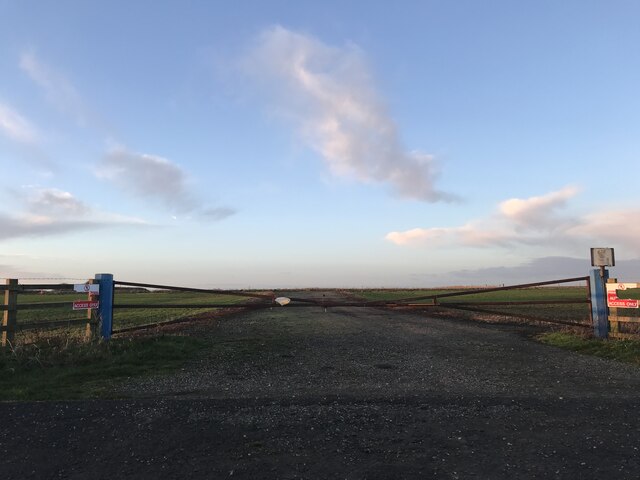
The surrounding area offers ample opportunities for outdoor activities and exploration. The village is surrounded by rolling hills, scenic walking trails, and picturesque landscapes, making it ideal for nature lovers and hikers. Additionally, the nearby Langton Brook provides a peaceful spot for fishing and picnicking.
End, Nether is conveniently located close to the market town of Market Harborough, where residents can access a wider range of amenities, including shops, schools, and healthcare facilities. The village is easily accessible by road and is within commuting distance of larger cities like Leicester and Northampton.
Overall, End, Nether, Leicestershire offers a serene and picturesque setting, making it an ideal place for those seeking a peaceful and close-knit community in the heart of the English countryside.
If you have any feedback on the listing, please let us know in the comments section below.
End, Nether Images
Images are sourced within 2km of 52.724237/-0.895826 or Grid Reference SK7414. Thanks to Geograph Open Source API. All images are credited.


End, Nether is located at Grid Ref: SK7414 (Lat: 52.724237, Lng: -0.895826)
Administrative County: Leicestershire
District: Melton
Police Authority: Leicestershire
What 3 Words
///wand.plants.harmlessly. Near Melton Mowbray, Leicestershire
Nearby Locations
Related Wikis
RAF Melton Mowbray
Royal Air Force Melton Mowbray or more simply RAF Melton Mowbray is a former Royal Air Force station located 2.3 miles (3.7 km) south of the centre of...

Great Dalby railway station
Great Dalby railway station was a railway station serving the village of Great Dalby, Leicestershire on the Great Northern and London and North Western...

Burton and Dalby
Burton and Dalby is a civil parish in the Melton district of Leicestershire, England, to the south of Melton Mowbray. It covers the villages of Burton...
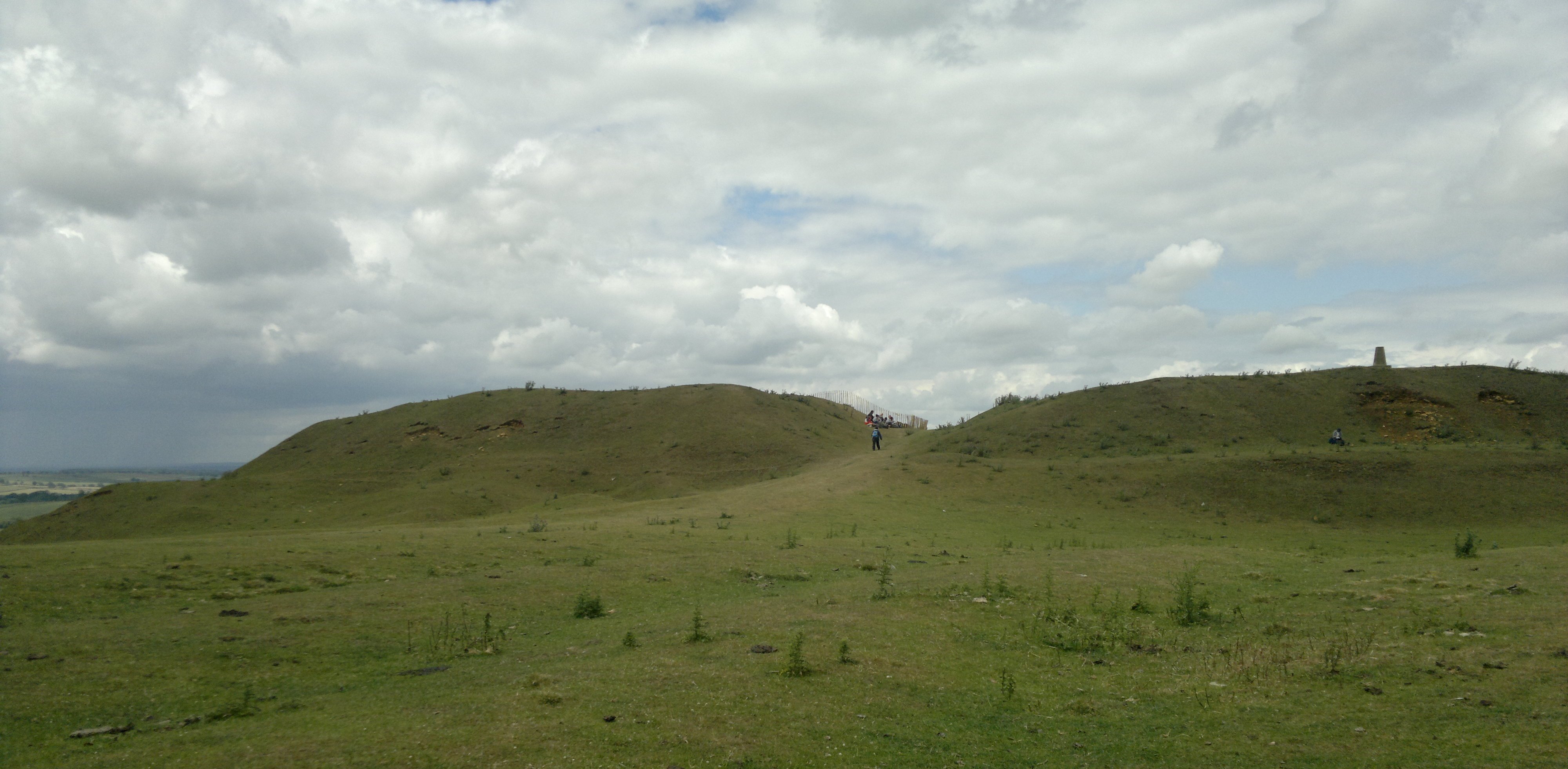
Burrough Hill
Burrough Hill is an Iron Age hillfort in Burrough on the Hill, 7 miles (11 km) south of Melton Mowbray in the English county of Leicestershire. Situated...

Burton Lazars
Burton Lazars is a village and former civil parish, now in the parish of Burton and Dalby, in the Melton district, in the county of Leicestershire, England...

East Goscote Hundred
East Goscote Hundred was a hundred of Leicestershire, that arose from the division of the ancient Goscote hundred (also known as a Wapentake) into two...
King Edward VII School, Melton Mowbray
King Edward VII School (KE7) was an LEA maintained 11-19 comprehensive secondary school in Melton Mowbray, Leicestershire in England which closed in 2011...
Melton Town F.C.
Melton Town Football Club is a football club based in Melton Mowbray, Leicestershire, England. They are currently members of the United Counties League...
Nearby Amenities
Located within 500m of 52.724237,-0.895826Have you been to End, Nether?
Leave your review of End, Nether below (or comments, questions and feedback).