Bentham

Settlement in Gloucestershire Tewkesbury

England

Bentham

Crickley Hill Car Park
Crickley Hill Car Park Credit: Matthew Chadwick

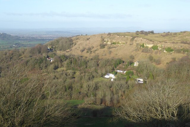
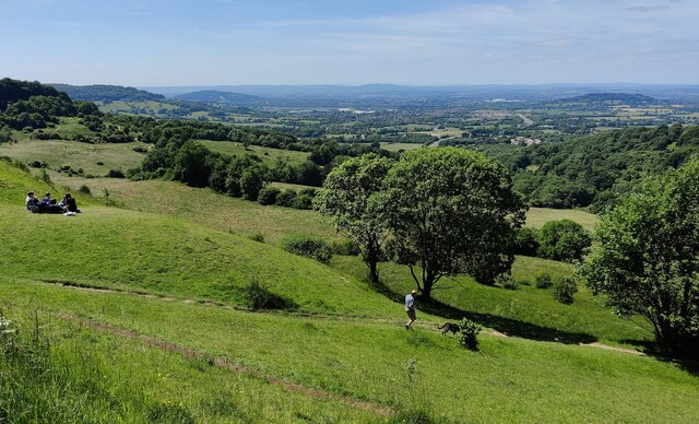
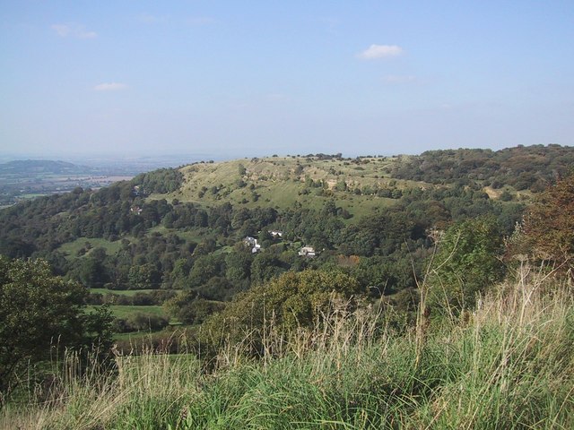
Bentham is a small village located in the county of Gloucestershire, England. Situated in the picturesque Cotswold District, it is surrounded by rolling hills and charming countryside. The village is nestled between the towns of Chipping Norton and Moreton-in-Marsh, offering residents and visitors easy access to amenities and transport links.

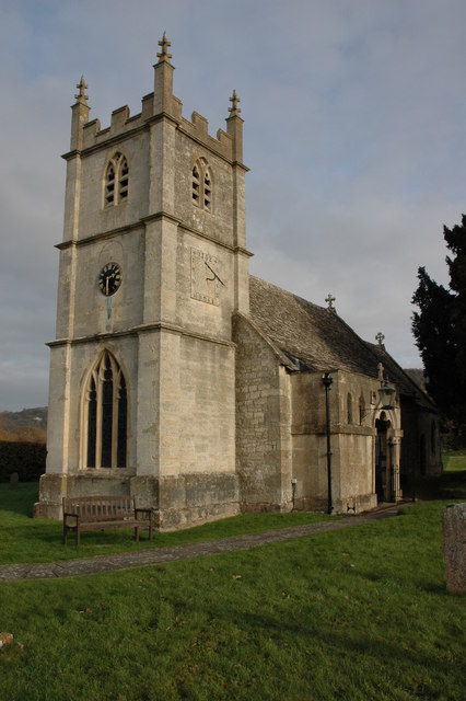
Bentham has a rich history dating back centuries and is known for its quaint architecture, with many buildings constructed from the distinctive honey-colored Cotswold stone. The village retains its traditional charm, with narrow winding lanes, historic cottages, and a peaceful atmosphere.

Despite its small size, Bentham boasts a strong sense of community. The village has a local pub, The Black Horse, which serves as a focal point for social gatherings. The pub offers a warm and friendly atmosphere, where locals and visitors can enjoy a pint of locally brewed ale or indulge in delicious traditional British cuisine.

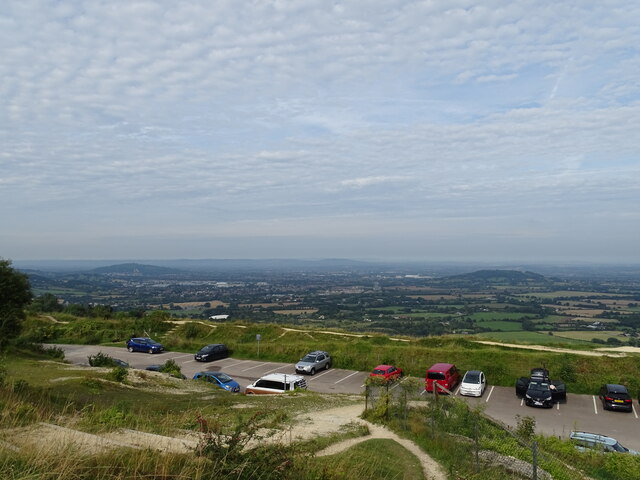
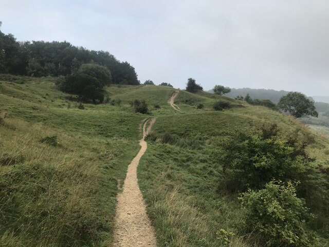
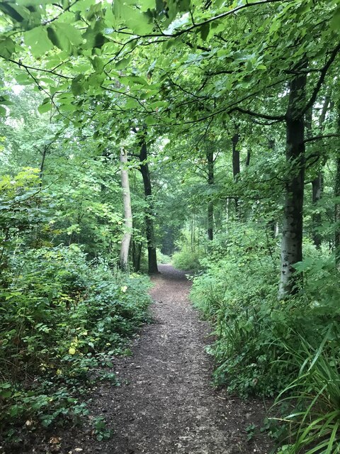
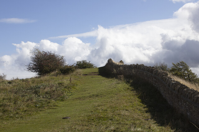
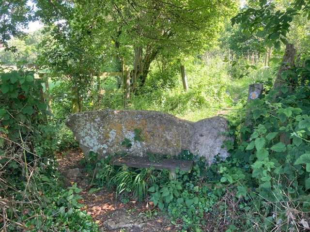
The surrounding area offers plenty of opportunities for outdoor activities and exploration. The Cotswold Way, a popular walking trail, passes through Bentham, providing breathtaking views of the countryside. Additionally, the nearby Batsford Arboretum and Gardens are a delight for nature enthusiasts, with a vast collection of trees and plants.

Overall, Bentham is a charming village that offers a peaceful retreat from the hustle and bustle of city life. With its idyllic surroundings and community spirit, it is a place that attracts those seeking a quintessential English village experience.

If you have any feedback on the listing, please let us know in the comments section below.
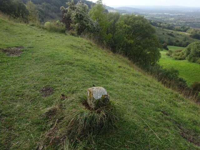
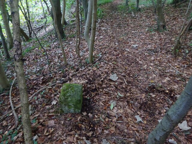
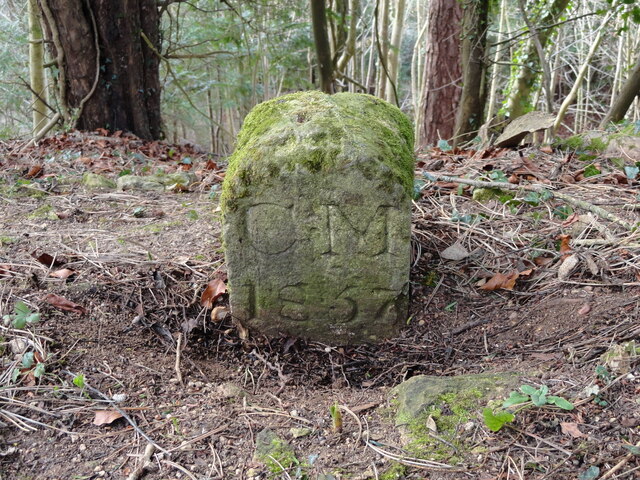
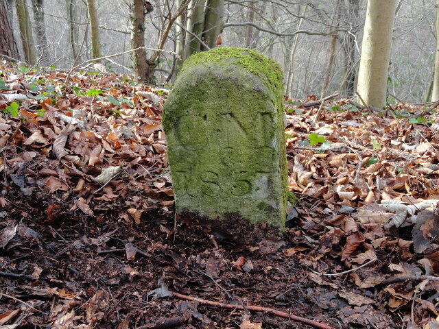
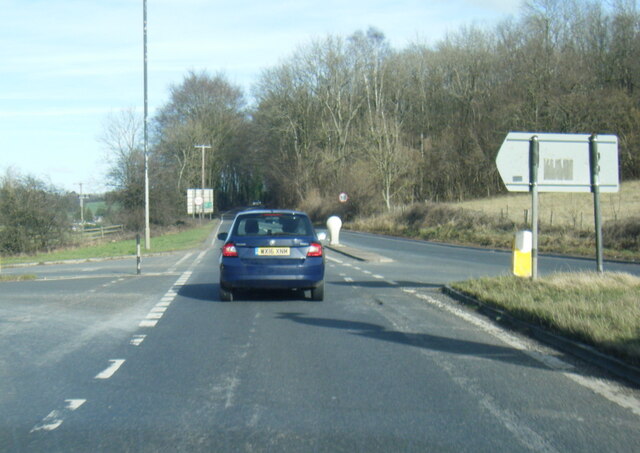
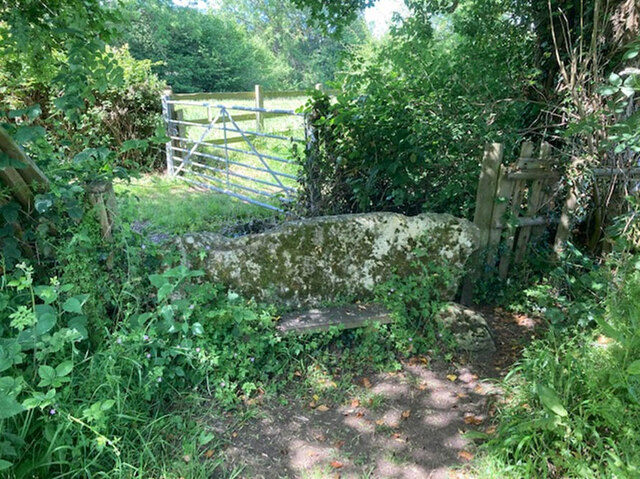
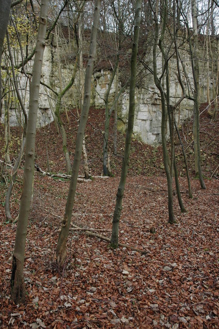
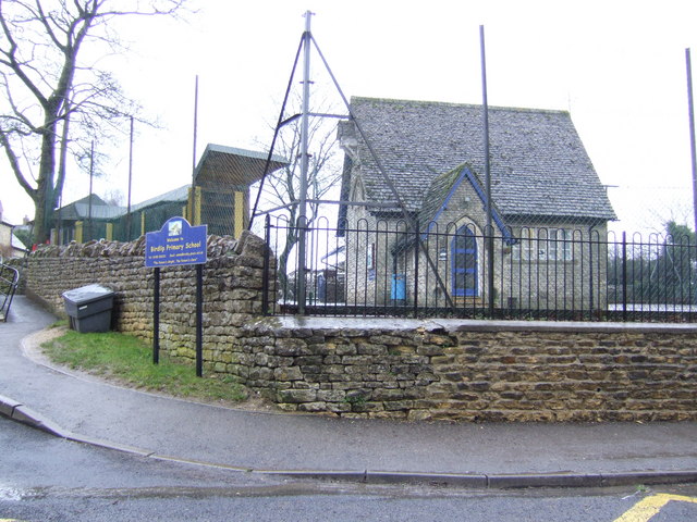
Bentham Images

Images are sourced within 2km of 51.846362/-2.123361 or Grid Reference SO9116. Thanks to Geograph Open Source API. All images are credited.

Crickley Hill Car Park
Rough land by the Cotswold Way
Deciduous woodland by the Cotswold Way
Crickley Hill
Crickley Hill
Boundary Stone, Barrow Wake, Birdlip The boundary between Cowley Parish to the SE (including Birdlip) and Badgeworth (NE) runs along the lip of a very steep escarpment. The inscription would have been C M 1857 like others along the same ridge. See <a title="https://www.geograph.org.uk/discuss/index.php?&action=vthread&forum=11&topic=32582" href="https://www.geograph.org.uk/discuss/index.php?&action=vthread&forum=11&topic=32582">Link</a>

Inscription: ?85?

Milestone Society National ID: GL_BADCOW03pb
Boundary Stone, Barrow Wake, Birdlip
The boundary between Cowley Parish to the SE (including Birdlip) and Badgeworth (NE) runs along the lip of a very steep escarpment. The inscription would have been C M 1857 like others along the same ridge. See Link Inscription: ?85? Milestone Society National ID: GL_BADCOW03pb
Boundary Stone, Peak Plantation, Birdlip At the top of the escarpment that delineates the boundary between Badgeworth (West) and Cowley (inc Birdlip) to the East. See other stones along the ridge <a title="https://www.geograph.org.uk/discuss/index.php?&action=vthread&forum=11&topic=32582" href="https://www.geograph.org.uk/discuss/index.php?&action=vthread&forum=11&topic=32582">Link</a>

Inscription: C M / 1857

Milestone Society National ID: GL_BADCOW04pb
Boundary Stone, Peak Plantation, Birdlip
At the top of the escarpment that delineates the boundary between Badgeworth (West) and Cowley (inc Birdlip) to the East. See other stones along the ridge Link Inscription: C M / 1857 Milestone Society National ID: GL_BADCOW04pb
Boundary Stone, Peak Plantation, Birdlip At the stile and apex of the boundary. Cowley (inc Birdlip) is to the SE, Badgeworth is N, S & W. There is no visible inscription but other Boundary Stones along the ridge bear the letters C M & 1857. See other stones along the ridge <a title="https://www.geograph.org.uk/discuss/index.php?&action=vthread&forum=11&topic=32582" href="https://www.geograph.org.uk/discuss/index.php?&action=vthread&forum=11&topic=32582">Link</a>

Milestone Society National ID: GL_BADCOW05pb
Boundary Stone, Peak Plantation, Birdlip
At the stile and apex of the boundary. Cowley (inc Birdlip) is to the SE, Badgeworth is N, S & W. There is no visible inscription but other Boundary Stones along the ridge bear the letters C M & 1857. See other stones along the ridge Link Milestone Society National ID: GL_BADCOW05pb
Crickley Hill Crickley Hill viewed from the Wake Barrow viewpoint. The Malvern Hills are on the distant horizon.
Crickley Hill
Crickley Hill viewed from the Wake Barrow viewpoint. The Malvern Hills are on the distant horizon.
The A417 The A417 viewed from the Barrow Wake viewpoint.
The A417
The A417 viewed from the Barrow Wake viewpoint.
Old Boundary Marker in Peak Plantation Parish Boundary Marker on the cliff edge in Peak Plantation. On the boundary of Badgeworth and Cowley parishes. Inscribed C M / 1857.

Milestone Society National ID: GL_BADCOW06pb
Old Boundary Marker in Peak Plantation
Parish Boundary Marker on the cliff edge in Peak Plantation. On the boundary of Badgeworth and Cowley parishes. Inscribed C M / 1857. Milestone Society National ID: GL_BADCOW06pb
Old Boundary Marker in Peak Plantation Parish Boundary Marker on the cliff edge in Peak Plantation. On the boundary of Badgeworth and Cowley parishes. Inscribed C M / 1857. See also <a title="https://www.geograph.org.uk/photo/6989229" href="https://www.geograph.org.uk/photo/6989229">Link</a>.

Milestone Society National ID: GL_BADCOW04pb
Old Boundary Marker in Peak Plantation
Parish Boundary Marker on the cliff edge in Peak Plantation. On the boundary of Badgeworth and Cowley parishes. Inscribed C M / 1857. See also Link. Milestone Society National ID: GL_BADCOW04pb
A436 after The Air Balloon roundabout
Stone Stile, Witcombe On Gloucestershire footpaths ABA68 & ABA66, 115 yards from the Cirencester Road, Ermin Way. The view from the other side is <a href="https://www.geograph.org.uk/photo/7198210">SO9015 : Stone Stile, Witcombe</a>.
Stone Stile, Witcombe
On Gloucestershire footpaths ABA68 & ABA66, 115 yards from the Cirencester Road, Ermin Way. The view from the other side is SO9015 : Stone Stile, Witcombe.
Stone Stile, Witcombe On Gloucestershire footpaths ABA68 & ABA66, 115 yards from the Cirencester Road, Ermin Way. The view from the other side is <a href="https://www.geograph.org.uk/photo/7198209">SO9015 : Stone Stile, Witcombe</a>.
Stone Stile, Witcombe
On Gloucestershire footpaths ABA68 & ABA66, 115 yards from the Cirencester Road, Ermin Way. The view from the other side is SO9015 : Stone Stile, Witcombe.
View across the Vale of Gloucester The viewpoint is at Barrow Wake and is 280 metres (918 feet) above sea level.
View across the Vale of Gloucester
The viewpoint is at Barrow Wake and is 280 metres (918 feet) above sea level.
Crickley Hill viewed from Barrow Wake
Vale of Gloucester viewed from Crickley Hill
The Vale of Gloucester Looking northwest from Crickley Hill, this is the countryside between Cheltenham and Gloucester. The Malvern Hills are nearly 30km away on the horizon.
The Vale of Gloucester
Looking northwest from Crickley Hill, this is the countryside between Cheltenham and Gloucester. The Malvern Hills are nearly 30km away on the horizon.
Show me another place!

Bentham is located at Grid Ref: SO9116 (Lat: 51.846362, Lng: -2.123361)

Administrative County: Gloucestershire

District: Tewkesbury

Police Authority: Gloucestershire

What 3 Words

///starlight.protected.shocks. Near Shurdington, Gloucestershire

Nearby Locations

Badgeworth Bentham

Related Wikis

Nearby Amenities

Located within 500m of 51.846362,-2.123361
Bentham
Is In: Gloucestershire, England, UK
Place: hamlet
Lat/Long: 51.8497321/-2.1265516
Bench
Lat/Long: 51.8435602/-2.1246376
Bekstone Farm
Landuse: farm
Note Retag: CS #48756035
Source: survey
Lat/Long: 51.8481413/-2.1203017
Barrier: kissing_gate
Source: survey
Lat/Long: 51.8481537/-2.1204426
Barrier: kissing_gate
Source: survey
Lat/Long: 51.8487414/-2.1172475
Barrier: stile
Lat/Long: 51.8481893/-2.1201274
Barrier: stile
Note: Not really a stile, more of climbable bit of fence but it is the public footpath.
Lat/Long: 51.8501536/-2.1213719
Barrier: kissing_gate
Source: survey
Lat/Long: 51.8492224/-2.1209562
Bentham Lane
Location Transition: yes
Power: pole
Transformer: distribution
Voltage Primary: 11000
Lat/Long: 51.8473955/-2.1200488
Note: We got lost here so our traces past this point are not to be trusted
Power: pole
Lat/Long: 51.8475825/-2.1194837
Note: We got lost here so our traces past this point are not to be trusted
Power: pole
Lat/Long: 51.8480008/-2.1186286
Note: We got lost here so our traces past this point are not to be trusted
Power: pole
Lat/Long: 51.8483926/-2.1178105
Barrier: kissing_gate
Foot: designated
Lat/Long: 51.8495199/-2.1234092
Barrier: kissing_gate
Foot: designated
Lat/Long: 51.848187/-2.1275573
Barrier: kissing_gate
Foot: designated
Lat/Long: 51.8458692/-2.1277314
Access: no
Barrier: swing_gate
Foot: yes
Material: metal
Lat/Long: 51.8450875/-2.1271107
Barrier: stile
Foot: designated
Lat/Long: 51.847206/-2.1283686
Addr Housename: Spring Orchard
Lat/Long: 51.8428905/-2.1231955
Addr City: Gloucester
Addr Housename: The Pike Cottage
Addr Postcode: GL3 4UB
Lat/Long: 51.8435132/-2.1256068
Place Of Worship
Greek Orthodox Church of St John Chrysostom
Addr City: Gloucester
Addr Housename: St John Chrysostom
Addr Postcode: GL3 4UD
Addr Street: Dog Lane
Denomination: greek_orthodox
Religion: christian
Service Times: 9-12:30
Lat/Long: 51.843672/-2.1243411
Bentham
Place: village
Source: OS_OpenMap_Local
Lat/Long: 51.8496941/-2.1236569
Location Transition: yes
Power: pole
Lat/Long: 51.8448881/-2.1292492
Bentham Centre
Power: pole
Transformer: distribution
Voltage Primary: 11000
Lat/Long: 51.8447634/-2.126812
Power: pole
Lat/Long: 51.8443847/-2.1275564
Alexander & Angel (Bentham)
Power: pole
Transformer: distribution
Voltage Primary: 11000
Lat/Long: 51.8440923/-2.1280928
Location Transition: yes
Power: pole
Lat/Long: 51.8448781/-2.1266216
Dog Lane
Power: pole
Transformer: distribution
Voltage Primary: 11000
Lat/Long: 51.8445045/-2.1174592
The data included in this document is from www.openstreetmap.org. The data is made available under ODbL.

Have you been to Bentham?

Leave your review of Bentham below (or comments, questions and feedback).