Nash End
Settlement in Staffordshire Wyre Forest
England
Nash End
Nash End is a small village located in the county of Staffordshire, England. Situated approximately 8 miles northeast of the town of Lichfield, Nash End is nestled in a rural setting surrounded by picturesque countryside.
The village is known for its charming, traditional architecture, with many of the houses being constructed from locally sourced materials such as Staffordshire brick and timber. The main focal point of the village is the historic St. Peter's Church, which dates back to the 13th century and features a stunning medieval tower.
Nash End offers a peaceful and close-knit community atmosphere, with a population of around 300 residents. The village is well-served by various amenities, including a local pub, a village hall, and a primary school, providing essential services to its residents.
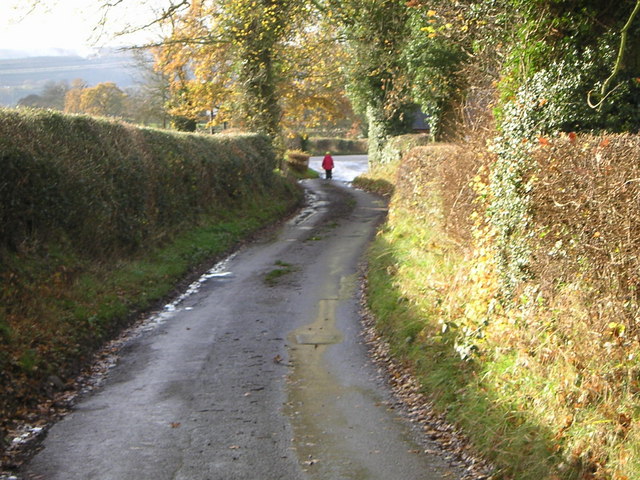
The countryside surrounding Nash End offers numerous opportunities for outdoor activities and exploration. There are several walking and cycling trails that wind through the rolling hills and meadows, providing breathtaking views of the Staffordshire countryside.
Despite its tranquility, Nash End benefits from its proximity to larger towns and cities. Lichfield, with its vibrant shopping district and historical attractions, is a short drive away, offering residents access to a wider range of amenities and services.
Overall, Nash End, Staffordshire, offers a delightful blend of rural charm, community spirit, and convenient access to larger towns, making it an appealing place to live for those seeking a peaceful countryside lifestyle.
If you have any feedback on the listing, please let us know in the comments section below.
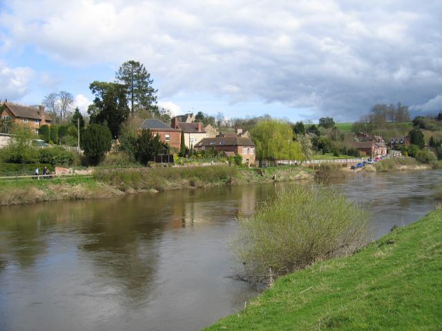
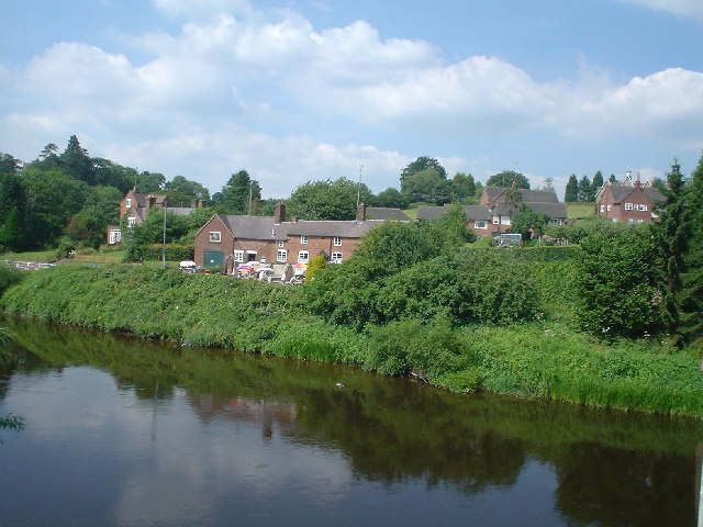
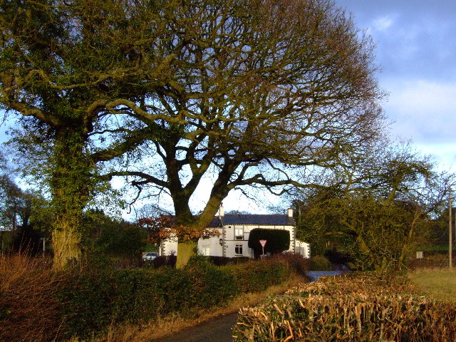
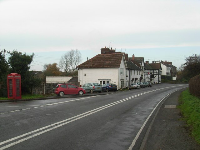
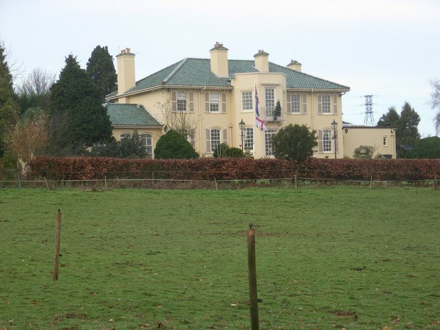
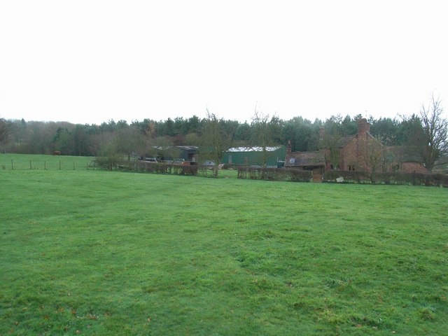
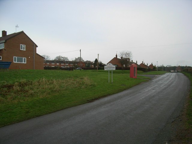
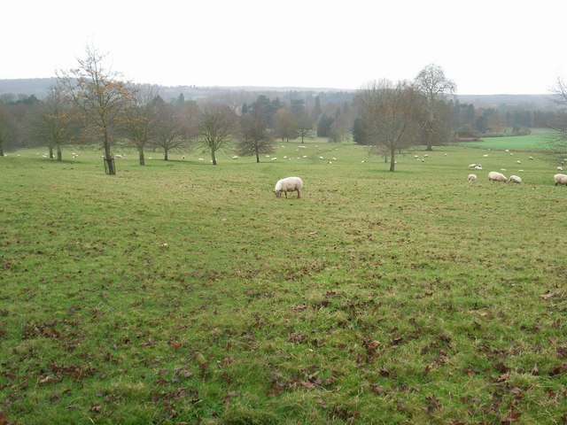
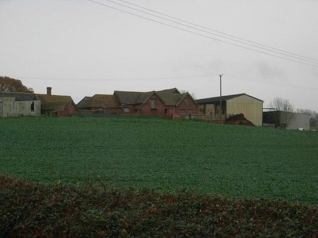
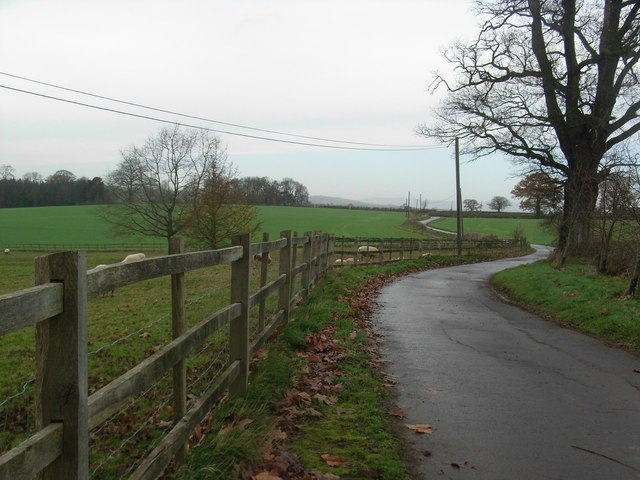
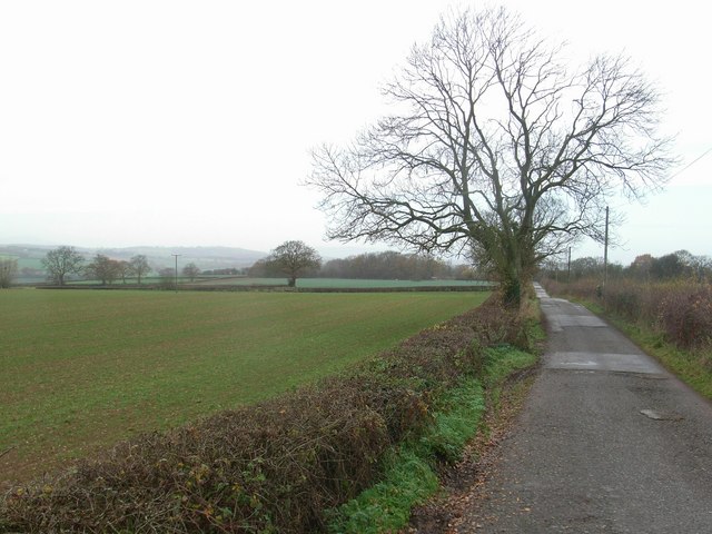
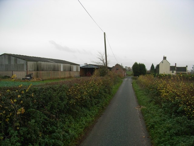
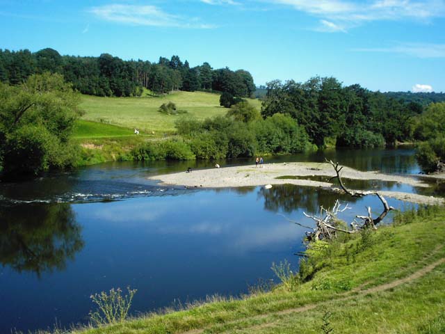
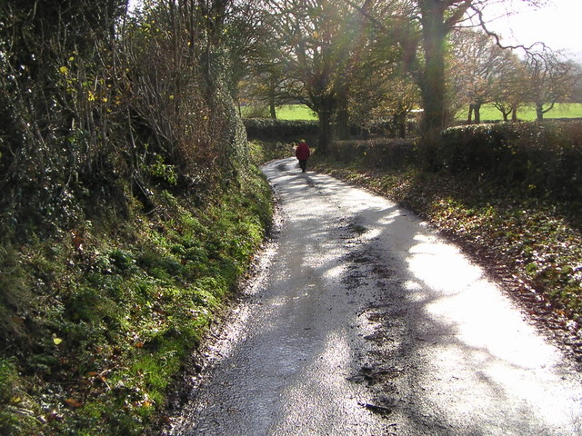
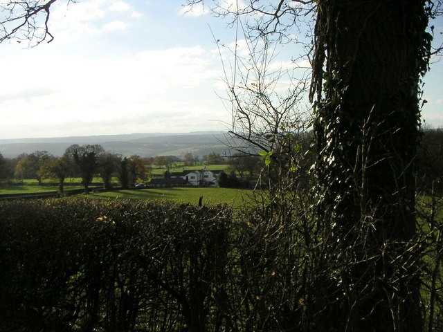
Nash End Images
Images are sourced within 2km of 52.433038/-2.336504 or Grid Reference SO7781. Thanks to Geograph Open Source API. All images are credited.

Nash End is located at Grid Ref: SO7781 (Lat: 52.433038, Lng: -2.336504)
Administrative County: Worcestershire
District: Wyre Forest
Police Authority: West Mercia
What 3 Words
///machine.downs.snippet. Near Romsley, Shropshire
Nearby Locations
Related Wikis

Arley House and Gardens
Arley House and Gardens are situated at Upper Arley, about 4 miles (6.4 km) north-west of Bewdley, in Worcestershire, England. The gardens, arboretum and...

Upper Arley
Upper Arley (grid reference SO765805) is a village and civil parish near Kidderminster in the Wyre Forest District of Worcestershire, England. Historically...

Romsley, Shropshire
Romsley (grid reference SO783826) is a hamlet and civil parish in southeast Shropshire, England. It is bounded on the north and west by Alveley and on...

Shatterford
Shatterford is a village in the Wyre Forest District of Worcestershire, England, located north-west of Bewdley and lies less than a mile from the county...
Nearby Amenities
Located within 500m of 52.433038,-2.336504Have you been to Nash End?
Leave your review of Nash End below (or comments, questions and feedback).