Nash Elm Wood
Wood, Forest in Staffordshire Wyre Forest
England
Nash Elm Wood
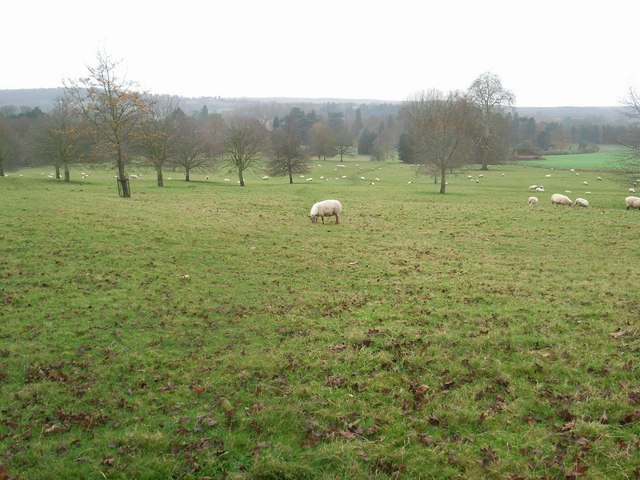
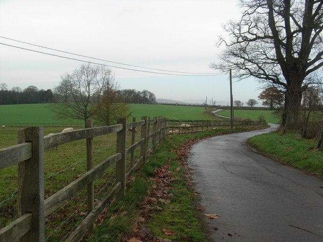
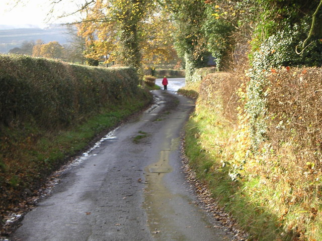
Nash Elm Wood, located in Staffordshire, England, is a majestic forest renowned for its rich biodiversity and historical significance. Spanning over a sprawling area of approximately 100 acres, this ancient woodland is a treasure trove of unique flora and fauna, making it a haven for nature enthusiasts and researchers alike.
The woodland is predominantly dominated by the Nash Elm tree, from which it derives its name. These elm trees, famous for their distinctively shaped leaves and sturdy trunks, are scattered throughout the forest, creating a captivating and picturesque landscape. The trees' age is estimated to be around 200 to 300 years old, showcasing the enduring beauty of nature.
Nash Elm Wood is home to a diverse range of wildlife, including various bird species, mammals, and insects. Birdwatchers flock to the area to catch a glimpse of elusive species such as woodpeckers, owls, and buzzards. The forest floor is teeming with life, with small mammals like hedgehogs, rabbits, and foxes often observed scurrying about.
In addition to its ecological significance, Nash Elm Wood holds historical importance. The forest has been referenced in various historical records and maps dating back to the 18th century, highlighting its enduring presence in the local landscape. Local folklore and legends also surround the woodland, adding to its mystique and charm.
Nash Elm Wood, with its ancient trees, thriving wildlife, and historical significance, serves as a tranquil retreat for visitors seeking solace in nature's embrace. Whether one is an avid nature lover, a historian, or simply in search of a quiet escape, this woodland offers a captivating experience that is sure to leave a lasting impression.
If you have any feedback on the listing, please let us know in the comments section below.
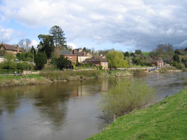
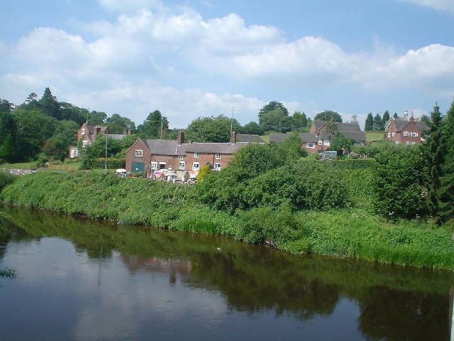
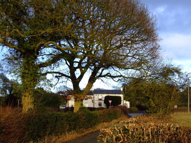
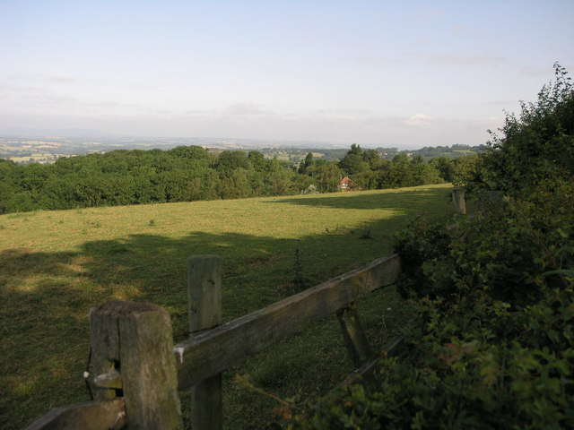
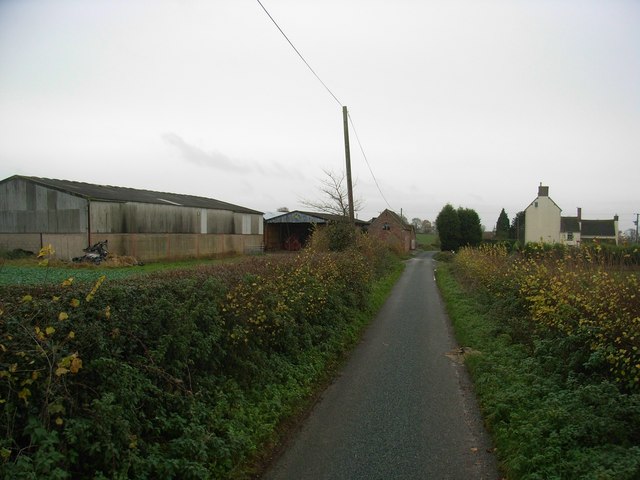
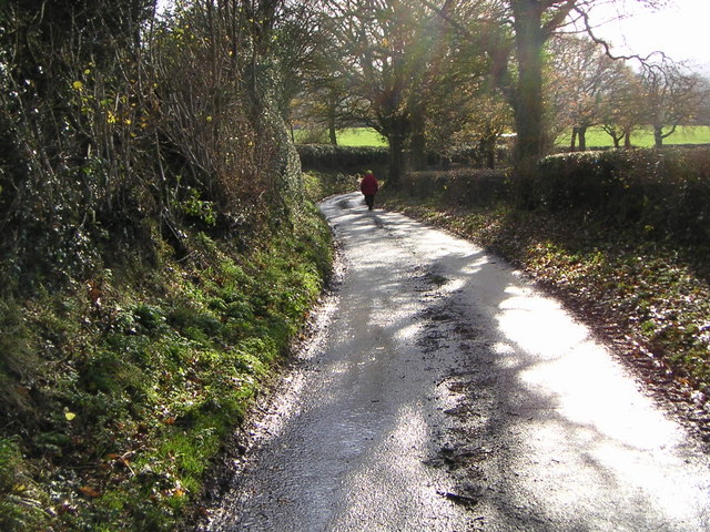
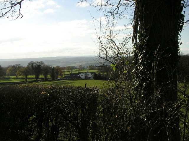
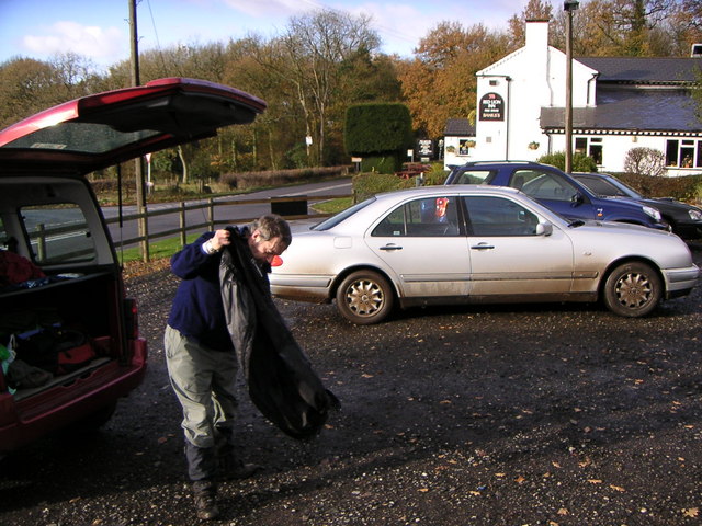
Nash Elm Wood Images
Images are sourced within 2km of 52.428643/-2.3273044 or Grid Reference SO7781. Thanks to Geograph Open Source API. All images are credited.

Nash Elm Wood is located at Grid Ref: SO7781 (Lat: 52.428643, Lng: -2.3273044)
Administrative County: Worcestershire
District: Wyre Forest
Police Authority: West Mercia
What 3 Words
///encourage.nearing.crescendo. Near Romsley, Shropshire
Nearby Locations
Related Wikis

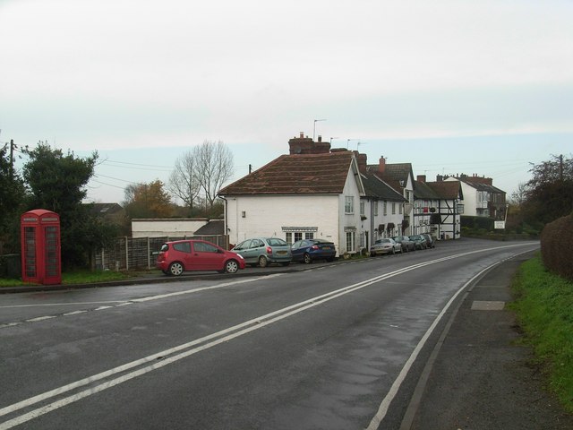
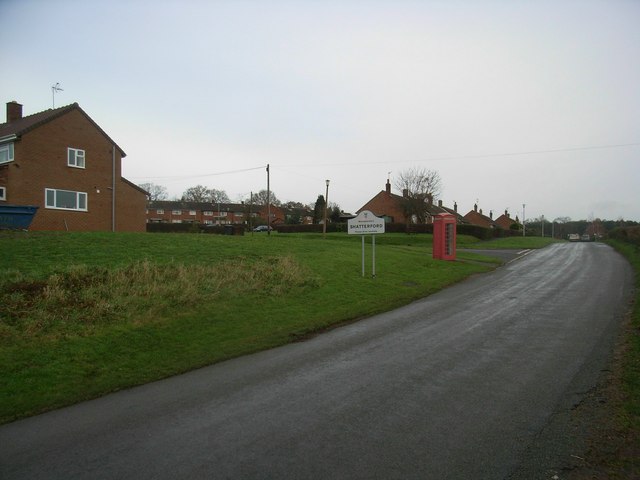
Shatterford
Shatterford is a village in the Wyre Forest District of Worcestershire, England, located north-west of Bewdley and lies less than a mile from the county...

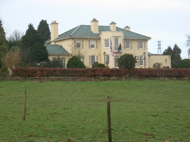
Arley House and Gardens
Arley House and Gardens are situated at Upper Arley, about 4 miles (6.4 km) north-west of Bewdley, in Worcestershire, England. The gardens, arboretum and...

Upper Arley
Upper Arley (grid reference SO765805) is a village and civil parish near Kidderminster in the Wyre Forest District of Worcestershire, England. Historically...

Shatterford Hill
Shatterford Hill is an English geographical feature that extends from Bewdley in north Worcestershire to Birdsgreen near Alveley, just over the border...
Nearby Amenities
Located within 500m of 52.428643,-2.3273044Have you been to Nash Elm Wood?
Leave your review of Nash Elm Wood below (or comments, questions and feedback).