Nantmawr
Settlement in Shropshire
England
Nantmawr
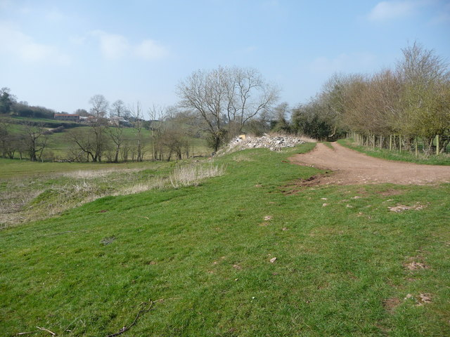
Nantmawr is a small village located in the county of Shropshire, England. Situated near the Wales-England border, it lies approximately 6 miles west of Oswestry and 15 miles northwest of Shrewsbury. The village is nestled in a picturesque setting, surrounded by rolling countryside and lush green fields.
The name "Nantmawr" translates to "big stream" in Welsh, referring to the nearby Nant Mawr Brook that runs through the village. This brook, along with the stunning natural landscapes, contributes to the village's charm and tranquility.
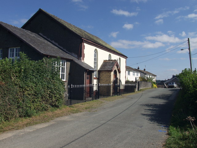
Nantmawr boasts a close-knit community, with a population of around 500 residents. The village is home to a number of amenities that cater to the community's needs, including a local convenience store, a post office, and a primary school. The village also has a village hall that serves as a hub for various community activities and events.
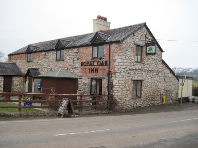
One of the notable landmarks in Nantmawr is the Llanymynech Golf Club, located just a short distance from the village. This picturesque golf course offers stunning views of the surrounding countryside and attracts golfers from the local area and beyond.
For those seeking outdoor activities, Nantmawr provides easy access to the Shropshire Hills Area of Outstanding Natural Beauty. This designated area is known for its diverse wildlife, scenic walking trails, and breathtaking views.
Overall, Nantmawr offers a peaceful and idyllic setting, making it an attractive place to live or visit for those looking to escape the hustle and bustle of larger towns and cities.
If you have any feedback on the listing, please let us know in the comments section below.
Nantmawr Images
Images are sourced within 2km of 52.812104/-3.117862 or Grid Reference SJ2424. Thanks to Geograph Open Source API. All images are credited.


Nantmawr is located at Grid Ref: SJ2424 (Lat: 52.812104, Lng: -3.117862)
Unitary Authority: Shropshire
Police Authority: West Mercia
What 3 Words
///skate.twin.outgrown. Near Pant, Shropshire
Nearby Locations
Related Wikis
Nantmawr
Nantmawr is a village in Shropshire, England. It is located about 5 miles south west of Oswestry and close to the Welsh border. The Offa's Dyke Path runs...
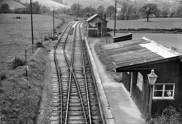
Blodwell Junction railway station
Blodwell Junction railway station was a station in Llanyblodwel, Shropshire, England. The station opened on 18 April 1870 as Llanyblodwel before being...
Treflach
Treflach is a small village near Oswestry in Shropshire, England. It is in the Oswestry Rural parish and lies between two other villages Trefonen and Nantmawr...
Llanyblodwel and Pant
Llanyblodwel and Pant was a ward in the county of Shropshire. == Abolition == With the re-organisation of local government in Shropshire in 2009 (i.e....
Nearby Amenities
Located within 500m of 52.812104,-3.117862Have you been to Nantmawr?
Leave your review of Nantmawr below (or comments, questions and feedback).