Nantglas
Settlement in Radnorshire
Wales
Nantglas
Nantglas is a small village located in Radnorshire, Wales. Situated in the picturesque Welsh countryside, Nantglas is known for its stunning natural beauty and peaceful atmosphere. The village is surrounded by rolling hills, lush green fields, and dense forests, making it a popular destination for outdoor enthusiasts and nature lovers.
Nantglas has a small population, with a tight-knit community that is known for its friendliness and hospitality. The village is home to a handful of quaint cottages, a local pub, and a small church, giving it a charming and traditional feel.
Despite its small size, Nantglas has a rich history that dates back centuries. Visitors can explore the historic buildings and landmarks in the village, or take a stroll along the scenic walking trails that wind through the surrounding countryside.
Overall, Nantglas offers a peaceful and idyllic retreat for those looking to escape the hustle and bustle of city life and immerse themselves in the natural beauty of the Welsh countryside.
If you have any feedback on the listing, please let us know in the comments section below.
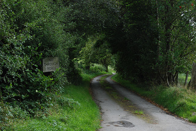
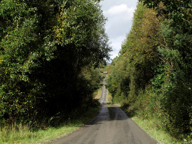
Nantglas Images
Images are sourced within 2km of 52.275613/-3.474314 or Grid Reference SN9965. Thanks to Geograph Open Source API. All images are credited.


Nantglas is located at Grid Ref: SN9965 (Lat: 52.275613, Lng: -3.474314)
Unitary Authority: Powys
Police Authority: Dyfed Powys
Also known as: Nant-glas
What 3 Words
///postings.unopposed.blackmail. Near Rhayader, Powys
Related Wikis

Nant Glas
Nant Glas (or Nant-glas) is a village in the Elan Valley near Rhayader and Llandrindod Wells in Powys, Wales. It is on a side road between the A44 to the...

Llanwrthwl
Llanwrthwl is a village and community in Powys, mid Wales, and the historic county of Brecknockshire. Llanwrthwl lies off the A470 road, north by road...
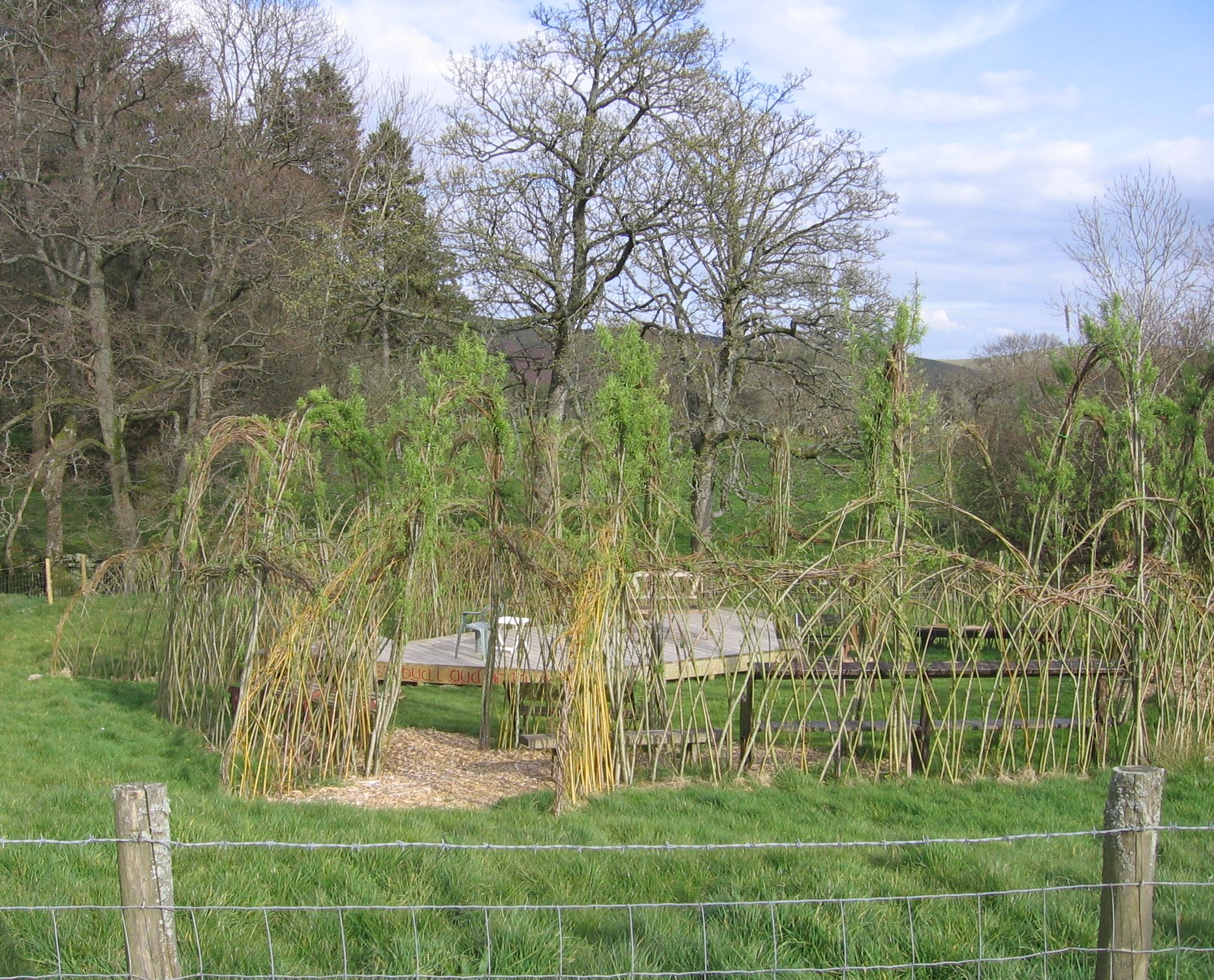
Willow Globe Theatre
The Willow Globe Theatre (Welsh: Glôb Byw, formerly known as the Living Willow Theatre) is an open air community theatre in Powys, Wales.It is a scaled...

Argoed, Powys
Argoed is a small village in the community of Nantmel, Powys, Wales, which is 55 miles (88 km) from Cardiff and 152 miles (244 km) from London.The village...
Nearby Amenities
Located within 500m of 52.275613,-3.474314Have you been to Nantglas?
Leave your review of Nantglas below (or comments, questions and feedback).