Nancemellin

Settlement in Cornwall

England

Nancemellin

Gwithian Wesleyan Methodist chapel
Gwithian Wesleyan Methodist chapel Credit: Paul Barnett

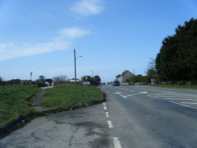
Nancemellin is a picturesque village located in the county of Cornwall, England. Situated in the southeastern part of the county, it is nestled amidst the rolling hills and lush greenery that is characteristic of the region. The village is known for its idyllic countryside setting, offering residents and visitors a tranquil and peaceful environment.

The village of Nancemellin is relatively small, with a population of around 300 inhabitants. Its quaint charm is evident in its architecture, featuring traditional stone cottages and farmhouses that add to its authentic Cornish character. The village is surrounded by breathtaking natural beauty, with sweeping views of the countryside and the nearby moorland.

Despite its size, Nancemellin boasts a strong sense of community. Local residents often come together for various events and activities, such as the annual village fete, where visitors can enjoy traditional food, music, and entertainment. The village also has a small primary school, providing education for the local children.

For outdoor enthusiasts, Nancemellin offers ample opportunities for exploration. The surrounding area is dotted with footpaths and bridleways, perfect for leisurely walks and horse riding. The nearby moors are also popular among hikers and nature lovers, with their unique flora and fauna.

Although Nancemellin is a peaceful retreat, it is conveniently located within a short drive from larger towns and cities, making it an ideal place to reside for those seeking a harmonious blend of rural and urban life.

If you have any feedback on the listing, please let us know in the comments section below.
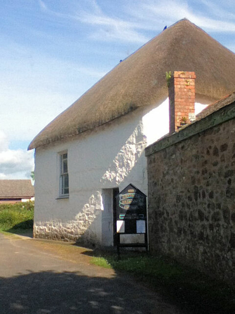
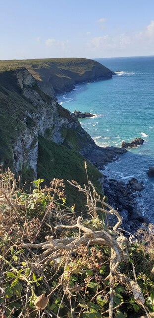
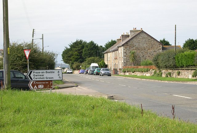
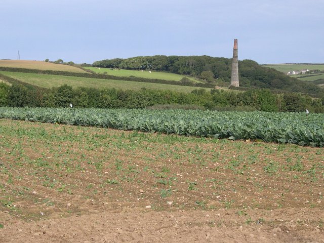
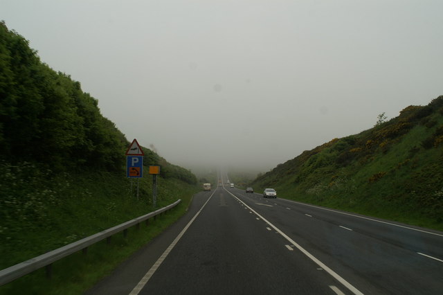
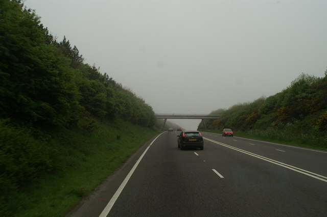
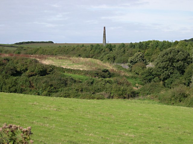
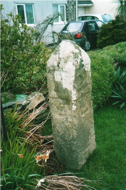
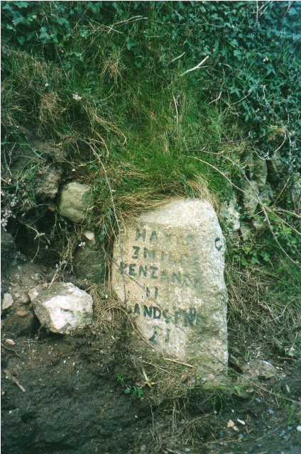
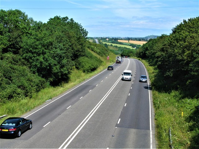
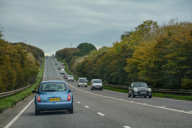
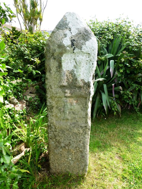
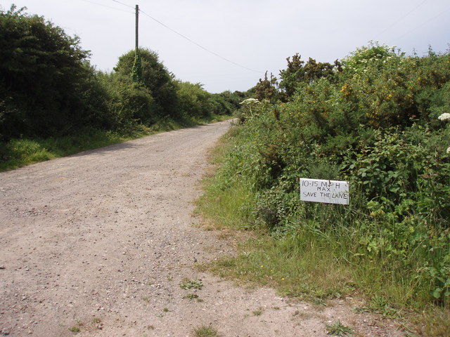
Nancemellin Images

Images are sourced within 2km of 50.22051/-5.358747 or Grid Reference SW6041. Thanks to Geograph Open Source API. All images are credited.

Gwithian Wesleyan Methodist chapel
Fishing Cove from cliff A view of Fishing Cove and out to Navax Point headland from a nice spot to sit on a cliff.
Fishing Cove from cliff
A view of Fishing Cove and out to Navax Point headland from a nice spot to sit on a cliff.
Fishing Cove A very steep drop down to Fishing Cove from the cliff.
Fishing Cove
A very steep drop down to Fishing Cove from the cliff.
Horsepool Road Scattered housing near this road junction to the east of Connor Downs.
Horsepool Road
Scattered housing near this road junction to the east of Connor Downs.
Roseworthy Valley Pampas Grasses in a private garden and pasture land.
Roseworthy Valley
Pampas Grasses in a private garden and pasture land.
Cabbage Field Cabbages (or some other brassica), some newly planted, growing in a mixed agricultural environment.  The chimney in the distance is in the adjacent grid square to the north at SW607400.
Cabbage Field
Cabbages (or some other brassica), some newly planted, growing in a mixed agricultural environment. The chimney in the distance is in the adjacent grid square to the north at SW607400.
Roseworthy A hamlet with just a few houses in the valley bottom.
Roseworthy
A hamlet with just a few houses in the valley bottom.
Traps for the unwary Man-made and natural on the drop into Roseworthy on the new A30
Traps for the unwary
Man-made and natural on the drop into Roseworthy on the new A30
The Gwithian Road bridge over the A30
Boggy Valley Bottom Looking towards Roseworthy where the valley narrows and the old road crosses the valley bottom avoiding this very wet flat land.
Boggy Valley Bottom
Looking towards Roseworthy where the valley narrows and the old road crosses the valley bottom avoiding this very wet flat land.
Towards the new A30 This photo looks into the northwest corner of this grid square from the B road which used to be the main A30 to the tree-lined cutting of the new A30.  Just beyond this grid square is an old mine engine chimney.
Towards the new A30
This photo looks into the northwest corner of this grid square from the B road which used to be the main A30 to the tree-lined cutting of the new A30. Just beyond this grid square is an old mine engine chimney.
Roseworthy Hill, the old A30
Horsepool Road
Horsepool Road
Old Milestone by Angarrack Lane, Connor Downs Carved stone post by the A3047, in parish of GWINEAR GWITHIAN (PENWITH District), Roseveth, Angarrack Lane; by bungalow No. 3, by the road, on North side of road. PL tombstone, erected by the parish in the 18th century. 

Inscription reads:-
: 11 / P : : 21 / L : 
Carved benchmark on front face.

Grade II Listed. List Entry Number: 1143729
<span class="nowrap"><a title="https://historicengland.org.uk/listing/the-list/list-entry/1143729" rel="nofollow ugc noopener" href="https://historicengland.org.uk/listing/the-list/list-entry/1143729">Link</a><img style="margin-left:2px;" alt="External link" title="External link - shift click to open in new window" src="https://s1.geograph.org.uk/img/external.png" width="10" height="10"/></span>

Milestone Society National ID: CW_PZL11.
Old Milestone by Angarrack Lane, Connor Downs
Carved stone post by the A3047, in parish of GWINEAR GWITHIAN (PENWITH District), Roseveth, Angarrack Lane; by bungalow No. 3, by the road, on North side of road. PL tombstone, erected by the parish in the 18th century. Inscription reads:- : 11 / P : : 21 / L : Carved benchmark on front face. Grade II Listed. List Entry Number: 1143729 LinkExternal link Milestone Society National ID: CW_PZL11.
Old Milestone by Roseworthy Hill, Gwinear Gwithian parish Carved stone post by the UC road (was A30), in parish of GWINEAR GWITHIAN (PENWITH District), Horsepool Road, Roseworthy Hill, between two "street" signs (Rose in Valley), by the road, on South side of road. Hayle facets. erected by the Hayle Bridge Causeway turnpike trust in the 19th century. 

Inscription reads:-
: HAYLE / 3 MILES / PENZANCE / 11 / LANDS END / 21 : : CAMBORNE / 2 MILES / REDRUTH / 5 / TRURO / 15 :

Grade II listed.  
List Entry Number: 1410449 <span class="nowrap"><a title="https://historicengland.org.uk/listing/the-list/list-entry/1410449" rel="nofollow ugc noopener" href="https://historicengland.org.uk/listing/the-list/list-entry/1410449">Link</a><img style="margin-left:2px;" alt="External link" title="External link - shift click to open in new window" src="https://s1.geograph.org.uk/img/external.png" width="10" height="10"/></span>

Milestone Society National ID: CW_PZCA11.
Old Milestone by Roseworthy Hill, Gwinear Gwithian parish
Carved stone post by the UC road (was A30), in parish of GWINEAR GWITHIAN (PENWITH District), Horsepool Road, Roseworthy Hill, between two "street" signs (Rose in Valley), by the road, on South side of road. Hayle facets. erected by the Hayle Bridge Causeway turnpike trust in the 19th century. Inscription reads:- : HAYLE / 3 MILES / PENZANCE / 11 / LANDS END / 21 : : CAMBORNE / 2 MILES / REDRUTH / 5 / TRURO / 15 : Grade II listed. List Entry Number: 1410449 LinkExternal link Milestone Society National ID: CW_PZCA11.
A30 near Connor Downs Looking east along the 284 mile major road which runs from London to Land's End.
A30 near Connor Downs
Looking east along the 284 mile major road which runs from London to Land's End.
Gwinear-Gwithian : A30 The A30 heading through the parish of Gwinear-Gwithian.
Gwinear-Gwithian : A30
The A30 heading through the parish of Gwinear-Gwithian.
Old Milestone by Angarrack Lane, Connor Downs Carved stone post by the former A3047, in parish of GWINEAR GWITHIAN (PENWITH District), Roseveth, Angarrack Lane; by bungalow No 3, by the road, on North side of road. 'PL' tombstone, erected by the parish in the 18th century. 

Inscription reads:-
: 11 / P : : 21 / L : 
Carved benchmark on front face.

Grade II listed. 
List Entry Number: 1143729 <span class="nowrap"><a title="https://historicengland.org.uk/listing/the-list/list-entry/1143729" rel="nofollow ugc noopener" href="https://historicengland.org.uk/listing/the-list/list-entry/1143729">Link</a><img style="margin-left:2px;" alt="External link" title="External link - shift click to open in new window" src="https://s1.geograph.org.uk/img/external.png" width="10" height="10"/></span>

Milestone Society National ID: CW_PZL11.
Old Milestone by Angarrack Lane, Connor Downs
Carved stone post by the former A3047, in parish of GWINEAR GWITHIAN (PENWITH District), Roseveth, Angarrack Lane; by bungalow No 3, by the road, on North side of road. 'PL' tombstone, erected by the parish in the 18th century. Inscription reads:- : 11 / P : : 21 / L : Carved benchmark on front face. Grade II listed. List Entry Number: 1143729 LinkExternal link Milestone Society National ID: CW_PZL11.
Show me another place!

Nancemellin is located at Grid Ref: SW6041 (Lat: 50.22051, Lng: -5.358747)

Unitary Authority: Cornwall

Police Authority: Devon and Cornwall

What 3 Words

///crystal.emblem.revisits. Near Camborne, Cornwall

Nearby Locations

Nancemellin

Related Wikis

Nancemellin

Nancemellin is a hamlet in the parish of Gwinear-Gwithian, Cornwall, England. == References ==

Menadarva

Menadarva (Cornish: Merther Derwa, meaning grave of St Derwa) is a hamlet in the parish of Camborne, Cornwall, England, UK. The Red River flows through...

Ashill, Cornwall

Ashill is a small hamlet in west Cornwall, England, United Kingdom in the valley of the Red River about 2 miles north west of Camborne. The Red River Nature...

Kehelland

Kehelland (Cornish: Kellihellan) is a hamlet northwest of Camborne in west Cornwall, England. == References ==

Nearby Amenities

Located within 500m of 50.22051,-5.358747
Nancemellin
Is In: Cornwall, England, UK
Is In Country: England
Is In Country Code: GB
Is In County: Cornwall
Name Kw: Nansmelin
Place: hamlet
Source: npe
Wikidata: Q15058903
Lat/Long: 50.2213646/-5.3588929
Power: tower
Source: bing
Lat/Long: 50.2176086/-5.3570482
Power: tower
Source: bing
Lat/Long: 50.2171833/-5.358602
Power: pole
Source: approximate
Lat/Long: 50.2189914/-5.3643482
Power: pole
Source: approximate
Lat/Long: 50.2194376/-5.3633504
Power: pole
Source: approximate
Lat/Long: 50.2215794/-5.3601586
Power: pole
Source: approximate
Lat/Long: 50.2222109/-5.3548049
Power: pole
Source: approximate
Lat/Long: 50.2224271/-5.3557598
Power: pole
Source: approximate
Lat/Long: 50.222942/-5.3566824
Power: pole
Source: approximate
Lat/Long: 50.2229643/-5.3584473
Power: pole
Source: approximate
Lat/Long: 50.2235477/-5.3577258
Power: pole
Lat/Long: 50.2213806/-5.3527504
Power: pole
Lat/Long: 50.2207902/-5.3535739
Power: pole
Lat/Long: 50.2199493/-5.3547218
Power: pole
Lat/Long: 50.2185231/-5.3584018
Power: pole
Lat/Long: 50.2181164/-5.359413
Power: pole
Lat/Long: 50.2174916/-5.3610438
Power: pole
Lat/Long: 50.2169047/-5.3625807
The data included in this document is from www.openstreetmap.org. The data is made available under ODbL.

Have you been to Nancemellin?

Leave your review of Nancemellin below (or comments, questions and feedback).