Nancegollan
Settlement in Cornwall
England
Nancegollan
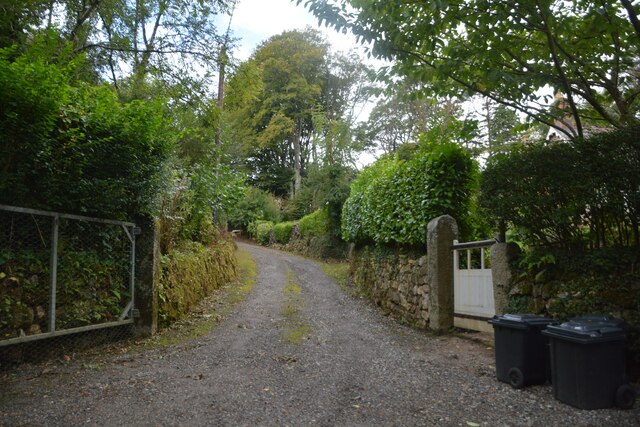
![Old Boundary Marker at Lower Prospidnick, Sithney parish Estate Boundary Marker on the north side of the road at Lower Prospidnick beside stone steps to a converted barn. Sithney parish. Inscribed LP (Lower Prospidnick) and HP (Higher Prospidnick) on adjacent faces. Assumed to have been moved as Higher Prospidnick is at [SW6387731897].
Milestone Society National ID: CW_SITH02em](https://s0.geograph.org.uk/geophotos/06/96/11/6961192_e4814326.jpg)
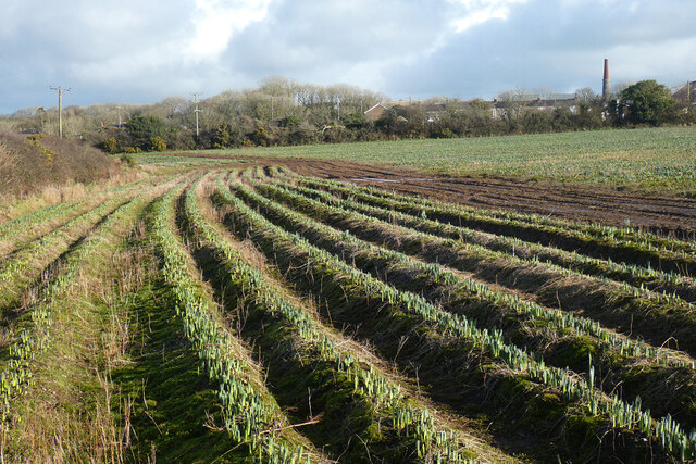
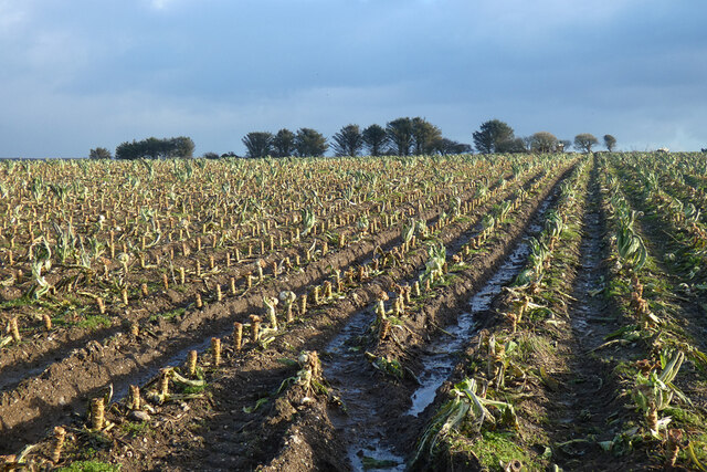
Nancegollan is a small village located in the county of Cornwall, in southwestern England. Situated approximately 5 miles northeast of Helston, it falls within the civil parish of Wendron. The village is nestled amidst the picturesque countryside, surrounded by rolling hills and farmland, which contribute to its tranquil and idyllic setting.
With a population of around 500 residents, Nancegollan embodies the traditional charm and character of a typical Cornish village. It features a mix of both old and newer houses, many of which boast traditional stone exteriors, adding to the village's rustic appeal. The local community is tight-knit, and residents often take part in various community activities and events.
Despite its small size, Nancegollan is home to some essential amenities. The village has a primary school, providing education for children in the area. Additionally, there is a village hall that serves as a hub for social gatherings and events, and a small local shop that caters to the daily needs of residents.
The surrounding area offers numerous opportunities for outdoor activities and exploration. Within a short distance, one can find beautiful walking trails and scenic spots, including the nearby Tregonning Hill, which provides stunning panoramic views of the Cornish countryside.
Overall, Nancegollan offers a peaceful and picturesque retreat for those seeking a quiet village life, while still providing convenient access to nearby towns and amenities.
If you have any feedback on the listing, please let us know in the comments section below.
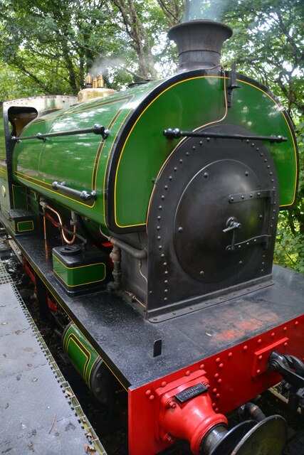
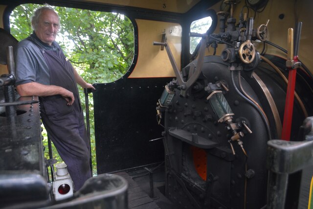
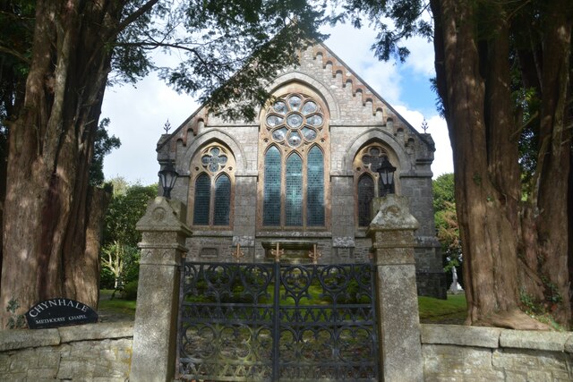
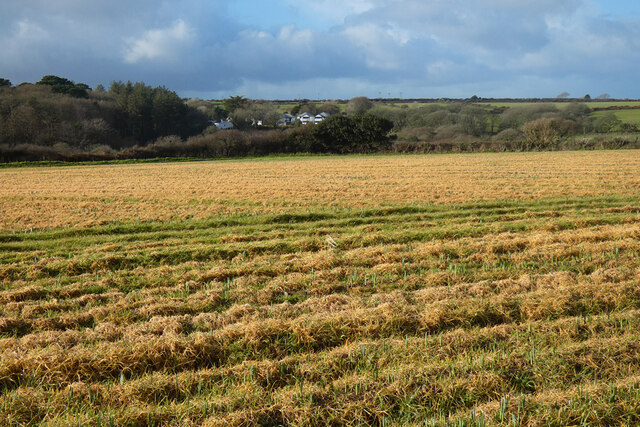
Nancegollan Images
Images are sourced within 2km of 50.143797/-5.308033 or Grid Reference SW6332. Thanks to Geograph Open Source API. All images are credited.
Nancegollan is located at Grid Ref: SW6332 (Lat: 50.143797, Lng: -5.308033)
Unitary Authority: Cornwall
Police Authority: Devon and Cornwall
What 3 Words
///rainwater.resolves.teardrop. Near Wendron, Cornwall
Nearby Locations
Related Wikis

Nancegollan
Nancegollan (Cornish: Nansigolen) is a village in the civil parish of Crowan in west Cornwall, England. Nancegollan is on the B3303 road and south-east...

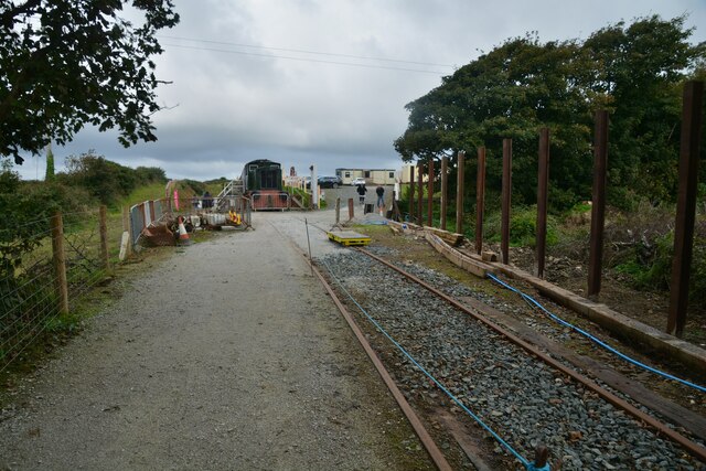
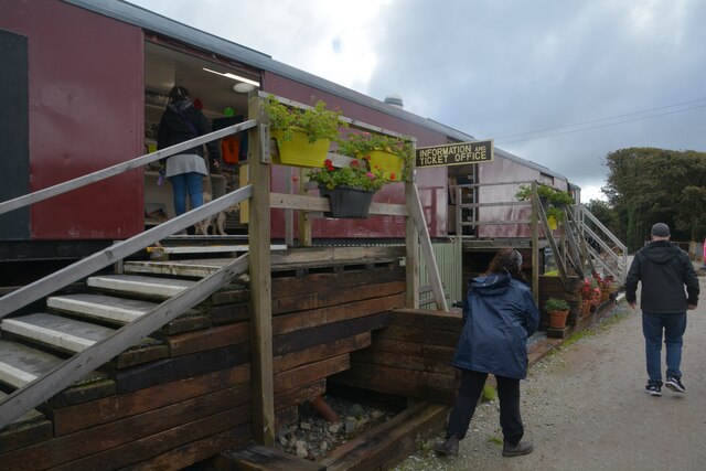
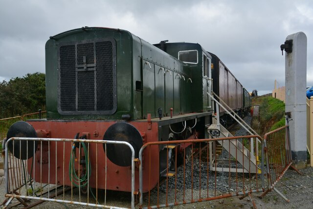
Nancegollan railway station
Nancegollan railway station located in Nancegollan, Cornwall served an important agricultural district and was also the railhead for the fishing port of...

Prospidnick
Prospidnick is a small village and hill in the parish of Sithney in Cornwall, United Kingdom. It lies 0.6 miles east of Crowntown and 2.6 miles west of...

Crowntown
Crowntown is a hamlet on the B3303 road south of Nancegollan in west Cornwall, England. It is in the civil parish of Sithney. == Cornish wrestling == Cornish...
Nearby Amenities
Located within 500m of 50.143797,-5.308033Have you been to Nancegollan?
Leave your review of Nancegollan below (or comments, questions and feedback).