Benover
Settlement in Kent Maidstone
England
Benover
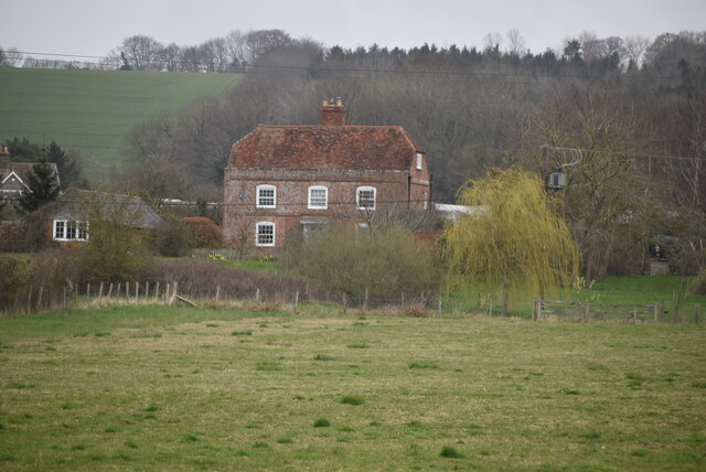
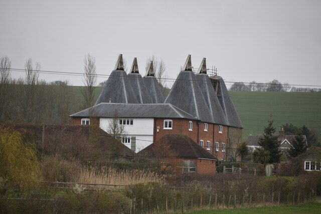
Benover is a small village located in the county of Kent, England. Situated near the town of Maidstone, it is part of the borough of Tonbridge and Malling. The village is nestled in the beautiful Kent countryside, surrounded by rolling hills, lush green fields, and picturesque landscapes.
With a population of around 400 residents, Benover exudes a peaceful and tranquil atmosphere. Its small size and close-knit community make it an ideal place for those seeking a quiet and idyllic lifestyle away from the hustle and bustle of larger cities.
The village is rich in history, with evidence of human settlement dating back to the Roman era. Ancient buildings like St. Giles Church, a Grade II listed structure, add to the village's charm and character. The church's architecture showcases a mix of styles, including Norman and Gothic elements.
Despite its rural setting, Benover benefits from its proximity to nearby towns and cities. Maidstone, the county town of Kent, is just a short drive away and offers a wide range of amenities and services, including shopping centers, restaurants, and recreational facilities.
For nature lovers, there are plenty of opportunities for outdoor activities in the surrounding area. The nearby Kent Downs, designated as an Area of Outstanding Natural Beauty, provide stunning hiking and cycling trails, allowing residents and visitors to explore the region's natural beauty.
In summary, Benover is a quaint and picturesque village in Kent, offering a peaceful and close-knit community, rich history, and easy access to the beautiful Kent countryside.
If you have any feedback on the listing, please let us know in the comments section below.
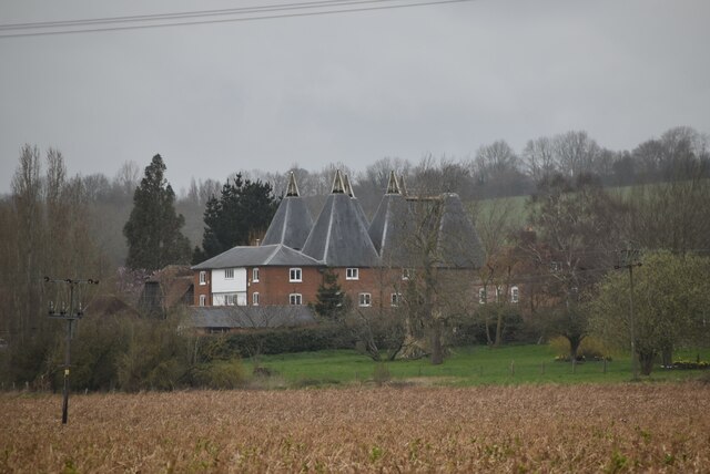
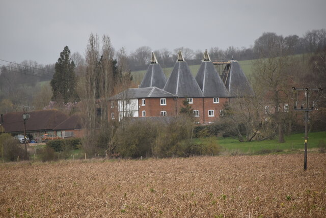
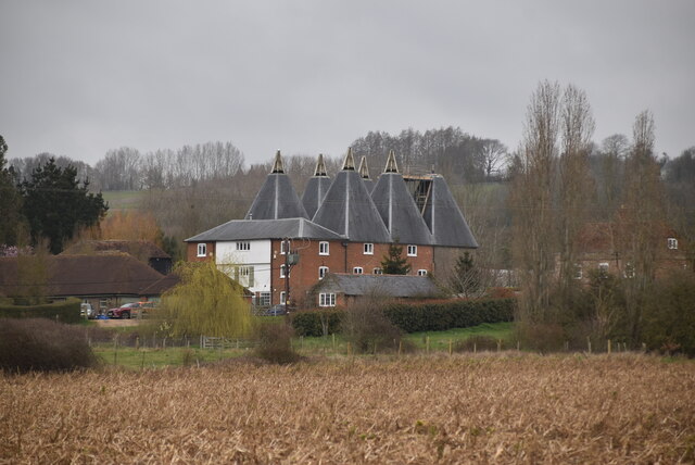
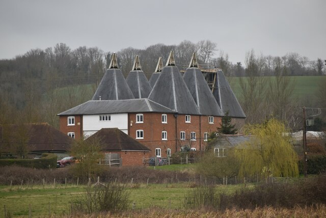
Benover Images
Images are sourced within 2km of 51.21169/0.434734 or Grid Reference TQ7048. Thanks to Geograph Open Source API. All images are credited.


Benover is located at Grid Ref: TQ7048 (Lat: 51.21169, Lng: 0.434734)
Administrative County: Kent
District: Maidstone
Police Authority: Kent
What 3 Words
///among.dominate.hairstyle. Near Yalding, Kent
Related Wikis

Benover
Benover is a rural settlement in the Maidstone district of Kent, in the south east of England. It lies on the B2162 road and is almost ten miles (16 km...

Yalding Organic Gardens
Yalding Gardens were demonstration gardens open to the public near Yalding, Kent in April 1995. Originally established by the organic gardening charity...

Laddingford
Laddingford is a hamlet in the parish of Yalding in Kent, England. Laddingford Aerodrome is located nearby.
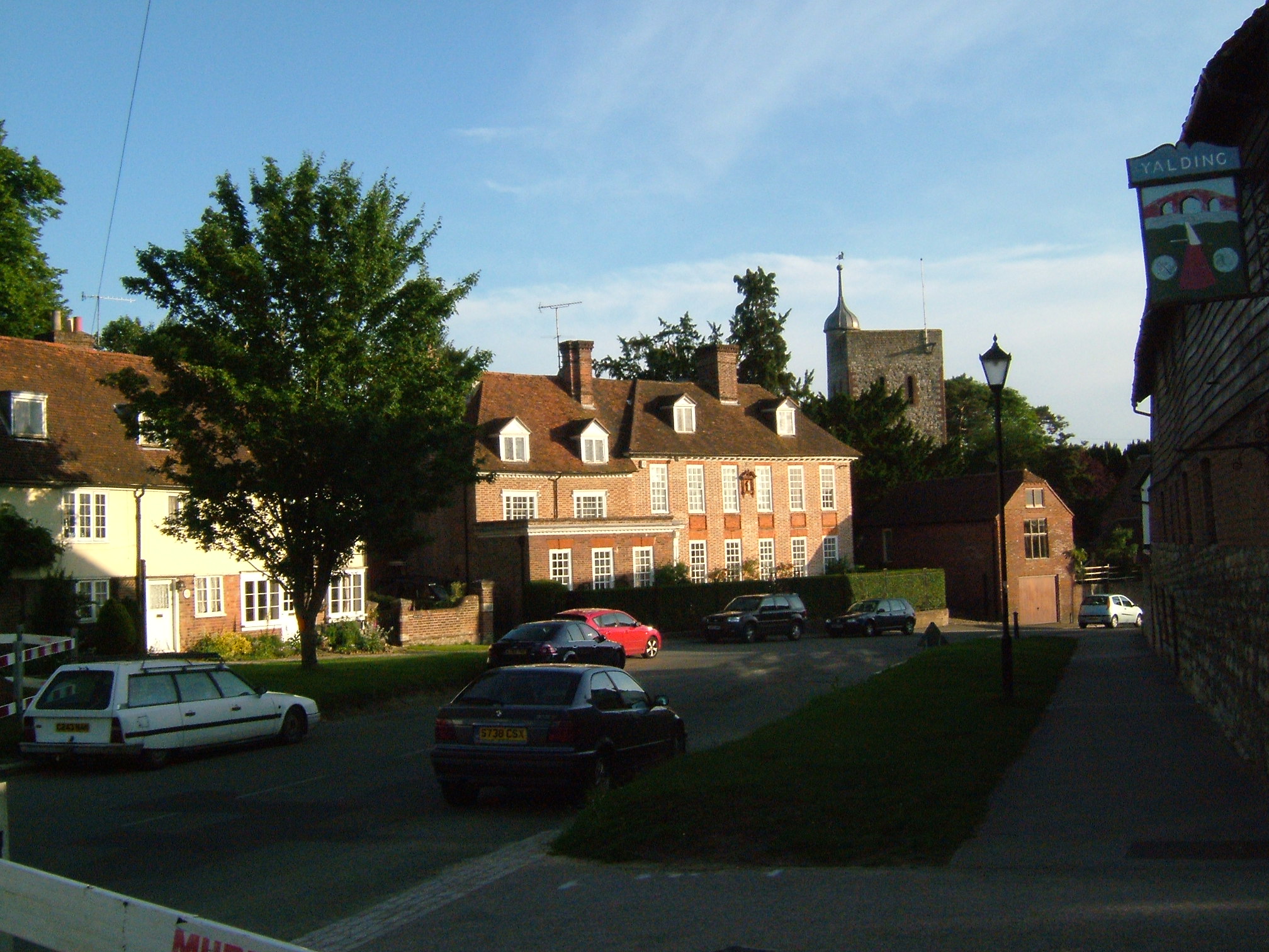
Yalding
Yalding is a village and civil parish in the Borough of Maidstone in Kent, England. The village is situated 6 miles (9.7 km) south west of Maidstone at...

St Peter's and St Paul's Church, Yalding
St Peter's and St Paul's Church is a parish church in Yalding, Kent, dedicated to saints Peter and Paul. It was begun in the 13th century and is a Grade...
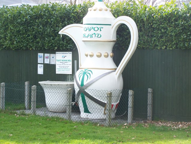
Teapot Island
Teapot Island is a teapot museum in Kent, England. The museum grew from the personal teapot collection of owner Sue Blazye, which started when her grandmother...
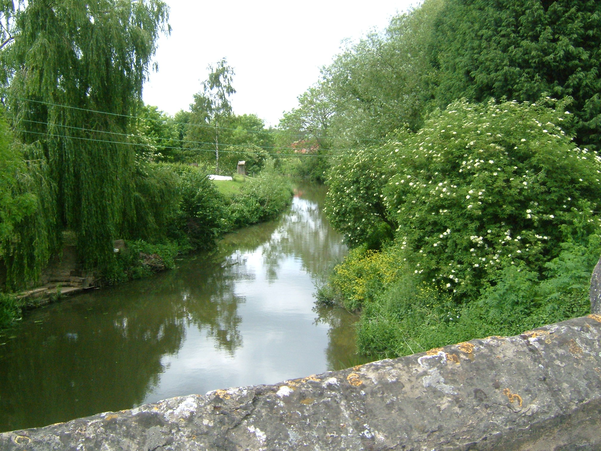
River Beult
The River Beult ( BELT) is a tributary of the River Medway in South East England. == Course == The Beult has several sources west of Ashford, including...
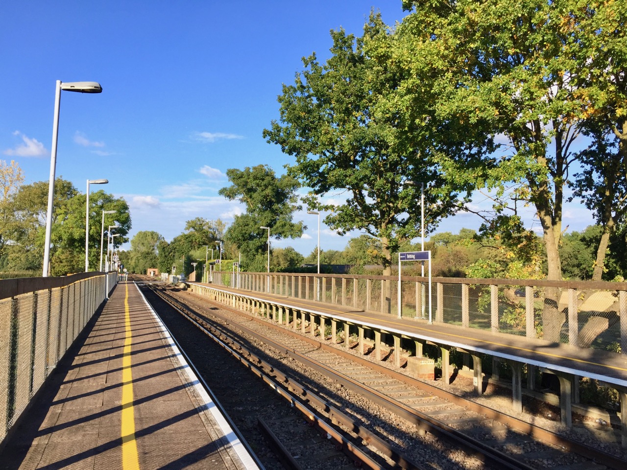
Beltring railway station
Beltring railway station is on the Medway Valley Line in Kent, England, serving the village of Beltring. It is 36 miles 50 chains (58.9 km) down the line...
Nearby Amenities
Located within 500m of 51.21169,0.434734Have you been to Benover?
Leave your review of Benover below (or comments, questions and feedback).