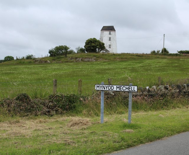
Mynyddmechell

Settlement in Anglesey

Wales

Mynyddmechell

Enclosed track leading onto Mynydd Mechell Looking north-westward from the entrance to Bryn Engan
Enclosed track leading onto Mynydd Mechell Credit: Peter Wood

Mynyddmechell is a small village located in the northwestern part of Anglesey, an island in North Wales. Situated approximately 3 miles east of the town of Cemaes Bay, Mynyddmechell is nestled within a picturesque rural landscape, surrounded by rolling hills and farmland.

The village itself is characterized by a mix of traditional Welsh stone houses and more modern buildings. It has a small population of around 200 residents, giving it a close-knit and friendly community atmosphere. The local economy is primarily agricultural, with farming being the main occupation for many of the villagers.

Mynyddmechell is known for its rich history, with evidence of human habitation dating back to prehistoric times. Nearby archaeological sites, such as the Neolithic burial chamber known as Bodowyr, serve as a testament to the area's ancient heritage.

The village is also close to several points of interest. Just a short drive away is the stunning coastal scenery of Cemaes Bay, where visitors can enjoy sandy beaches, rocky cliffs, and panoramic views of the Irish Sea. For nature enthusiasts, the nearby Mynydd Bodafon mountain offers scenic walking trails and opportunities for birdwatching.

Although Mynyddmechell may be small in size, it offers a peaceful and idyllic setting for those looking to escape the hustle and bustle of city life. With its stunning surroundings and strong sense of community, it is a charming village that captures the essence of rural life in Anglesey.

If you have any feedback on the listing, please let us know in the comments section below.

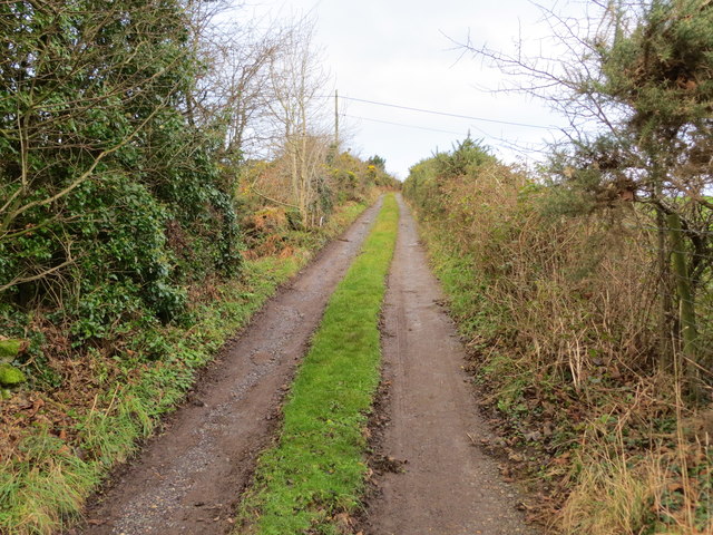
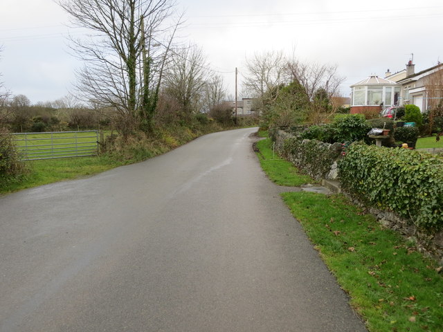
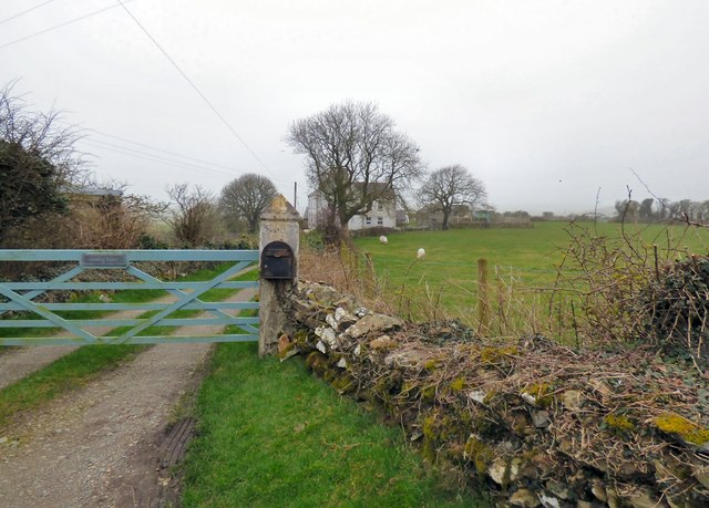
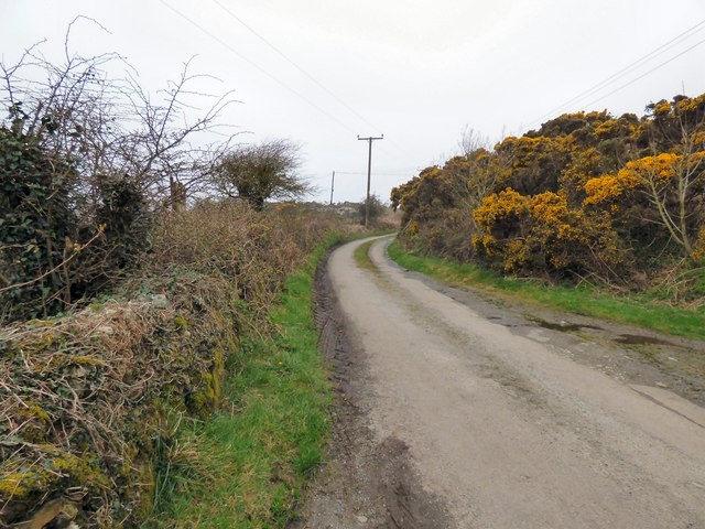
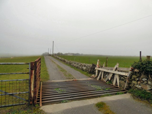
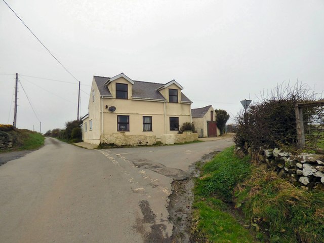
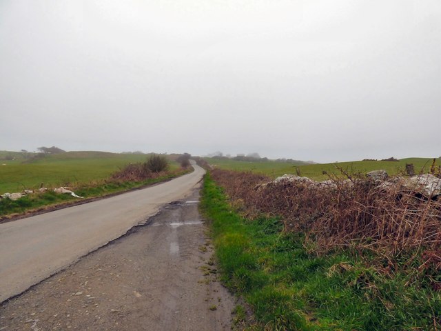
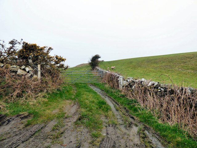
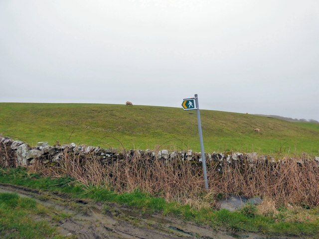
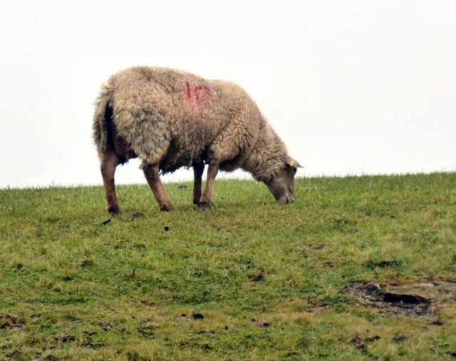
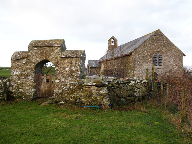
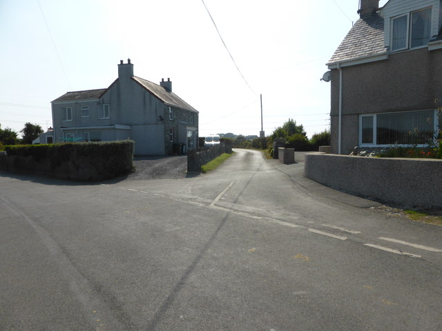
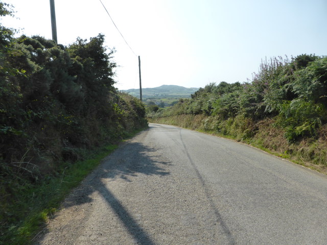
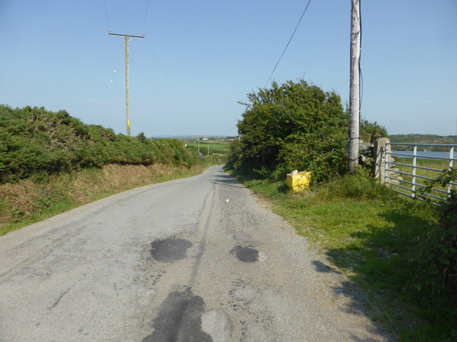
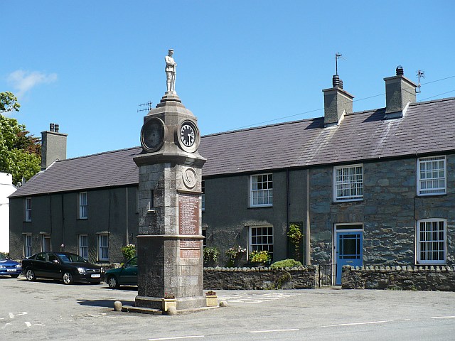
Mynyddmechell Images

Images are sourced within 2km of 53.377386/-4.474321 or Grid Reference SH3589. Thanks to Geograph Open Source API. All images are credited.

Enclosed track leading onto Mynydd Mechell Looking north-westward from the entrance to Bryn Engan
Enclosed track leading onto Mynydd Mechell
Looking north-westward from the entrance to Bryn Engan
Road through Melin Mechell Looking south-westward.
Road through Melin Mechell
Looking south-westward.
Garreg Fawr
Garreg Fawr
Lane passing Garreg Fawr
Cott Farm
Cott Farm
Road junction at Gors-Goch
The road to Llanrhyddlad
  Footpath to Llanfflewin
Footpath to Llanfflewin
  Grazing sheep   
  Above the footpath to Llanfflewin <a href="https://www.geograph.org.uk/photo/6099632">SH3588 :   Footpath to Llanfflewin</a>.
Grazing sheep
Above the footpath to Llanfflewin SH3588 : Footpath to Llanfflewin.
 Sheep safely grazing   
  Above the footpath to Llanfflewin <a href="https://www.geograph.org.uk/photo/6099638">SH3588 :   Grazing sheep</a>.
Sheep safely grazing
Above the footpath to Llanfflewin SH3588 : Grazing sheep.
Eglwys St Fflewin
Eglwys St Fflewin
Road junction near Llanfechell The lane leads towards Llyn Llygerian.
Road junction near Llanfechell
The lane leads towards Llyn Llygerian.
Looking towards Mynydd y Garn
Minor road near Llyn Llygeirian The lake can just be seen on the right of the photo.
Minor road near Llyn Llygeirian
The lake can just be seen on the right of the photo.
The Pandy A Bed & Breakfast place on the A5025.
The Pandy
A Bed & Breakfast place on the A5025.
Melin Mechell mill This mill is also known as Melin Minffordd and Melin Maen Arthur (the name of a nearby hill). Nothing is known of its origin and it first appears in the historical records in 1883 when Robert Parry is listed as the miller in Slater's Directory. It continued to be run by Parrys until its closure sometime around World War I.
Melin Mechell mill
This mill is also known as Melin Minffordd and Melin Maen Arthur (the name of a nearby hill). Nothing is known of its origin and it first appears in the historical records in 1883 when Robert Parry is listed as the miller in Slater's Directory. It continued to be run by Parrys until its closure sometime around World War I.
Hedge enclosed lane from A5025 to Llanfechell Looking eastward in the direction of Llanfechell.
Hedge enclosed lane from A5025 to Llanfechell
Looking eastward in the direction of Llanfechell.
Lane near Bryn Eglwys Looking north-eastward.
Lane near Bryn Eglwys
Looking north-eastward.
Show me another place!

Mynyddmechell is located at Grid Ref: SH3589 (Lat: 53.377386, Lng: -4.474321)

Unitary Authority: Isle of Anglesey

Police Authority: North Wales

Also known as: Mynydd Mechell

What 3 Words

///tribe.reinstate.relishing. Near Cemaes Bay, Isle of Anglesey

Related Wikis

Mynydd Mechell

Mynydd Mechell is an area in the community of Mechell, Anglesey, Wales, which is 141.9 miles (228.4 km) from Cardiff and 223.8 miles (360.2 km) from London...

Llanfflewyn

Llanfflewyn is a village in the community of Mechell, Anglesey, Wales, which is 141.9 miles (228.3 km) from Cardiff and 224.1 miles (360.6 km) from London...

St Fflewin's Church, Llanfflewin

St Fflewin's Church, Llanfflewin (sometimes referred to as St Fflewyn's Church, Llanfflewyn) is a small rural church, situated by a farm in Anglesey, Wales...

Llanfechell

Llanfechell (from Welsh: llan church + Saint Mechell) is a village in Anglesey, Wales. It is the largest of several small villages and dispersed settlements...

Related Videos

Basecamp 2 - Welsh Winter Adventure

In this adventure, we return to the northern tip of Anglesey. Pitching up once again at Gadly's Touring Park in Cemaes we face into ...

RISK IT FOR A BISCUIT! | A Short Walk on Northern Anglesey. #wales #hiking #walking #carcamping

Seeing as it's about 15 months since I last filmed a video on Anglesey, I thought another video on this fabulous island is way ...

Wales Coast Path 15: Port Almwch to Cemaes Bay

DISCLAIMER: SORRY FOR SOME WOBBLY FOOTAGE AT PORTH WEN BRICKWORKS, I DON'T KNOW WHAT HAPPENED ...

Bethel Hen Chapel Llanrhyddlad.

After passing this beautiful Chapel many times over the years on the A5025 between Vally and Cemaes Bay, last week saw the ...

Nearby Amenities

Located within 500m of 53.377386,-4.474321
Mynydd Mechell
Is In: Anglesey
Place: hamlet
Wikidata: Q16103614
Lat/Long: 53.3804299/-4.4763368
Source: OS VectorMap District
Lat/Long: 53.3762621/-4.4781328
Source: OS VectorMap District
Lat/Long: 53.3762838/-4.4774447
Source: OS VectorMap District
Lat/Long: 53.3762881/-4.4772112
Source: OS VectorMap District
Lat/Long: 53.3763026/-4.4766076
Source: OS VectorMap District
Lat/Long: 53.376351/-4.477216
Source: OS VectorMap District
Lat/Long: 53.376394/-4.4771933
Source: OS VectorMap District
Lat/Long: 53.3764064/-4.4765023
Source: OS VectorMap District
Lat/Long: 53.3764265/-4.476554
Source: OS VectorMap District
Lat/Long: 53.3764351/-4.4765763
Source: OS VectorMap District
Lat/Long: 53.3764689/-4.4765318
Source: OS VectorMap District
Lat/Long: 53.3764835/-4.4770547
Source: OS VectorMap District
Lat/Long: 53.3764904/-4.4774387
Source: OS VectorMap District
Lat/Long: 53.3765383/-4.4764789
Source: OS VectorMap District
Lat/Long: 53.3765656/-4.4769619
Source: OS VectorMap District
Lat/Long: 53.3765773/-4.4764718
Source: OS VectorMap District
Lat/Long: 53.3765969/-4.4774509
Source: OS VectorMap District
Lat/Long: 53.3766147/-4.4779189
Source: OS VectorMap District
Lat/Long: 53.376624/-4.4764867
Source: OS VectorMap District
Lat/Long: 53.3767352/-4.4763042
Source: OS VectorMap District
Lat/Long: 53.3767851/-4.4766102
Source: OS VectorMap District
Lat/Long: 53.3768218/-4.4766579
Source: OS VectorMap District
Lat/Long: 53.3768596/-4.4762664
Source: OS VectorMap District
Lat/Long: 53.3768777/-4.4768079
Source: OS VectorMap District
Lat/Long: 53.3769005/-4.4768305
Source: OS VectorMap District
Lat/Long: 53.3769354/-4.4766225
Source: OS VectorMap District
Lat/Long: 53.3769513/-4.4768317
The data included in this document is from www.openstreetmap.org. The data is made available under ODbL.

Have you been to Mynyddmechell?

Leave your review of Mynyddmechell below (or comments, questions and feedback).