Llyn Gors-gôch

Lake, Pool, Pond, Freshwater Marsh in Anglesey

Wales

Llyn Gors-gôch

Enclosed track leading onto Mynydd Mechell Looking north-westward from the entrance to Bryn Engan
Enclosed track leading onto Mynydd Mechell Credit: Peter Wood

Llyn Gors-gôch, also known as Lake Gors-gôch, is a small freshwater lake located on the island of Anglesey in North Wales. The lake encompasses an area of approximately 4.5 acres and is situated within a picturesque nature reserve.

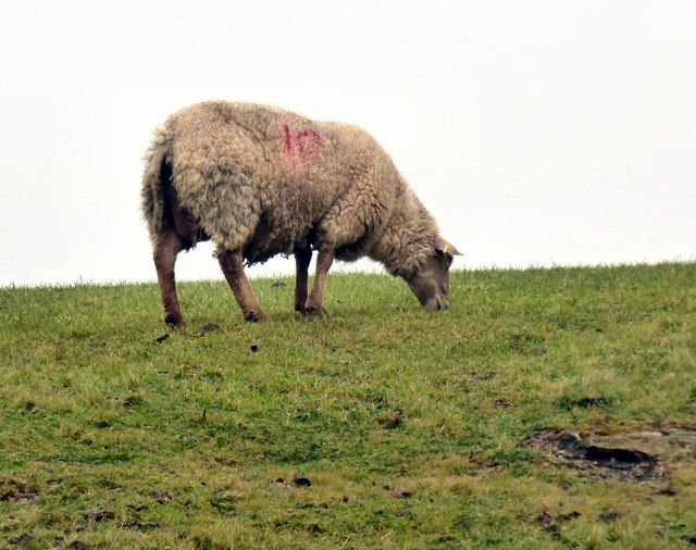
Surrounded by lush vegetation and rolling hills, Llyn Gors-gôch is a haven for wildlife enthusiasts and nature lovers alike. The lake is home to a diverse range of flora and fauna, including various species of water birds, such as ducks, swans, and herons. The surrounding marshland provides a rich habitat for numerous amphibians, insects, and small mammals.

The lake itself is fed by natural springs and rainfall runoff, ensuring a constant supply of fresh water. The water is clear and unpolluted, making it an ideal habitat for a wide variety of aquatic plants, including water lilies and reeds. Fish species such as perch and tench can also be found in the lake.

There are several walking trails and observation points around Llyn Gors-gôch, allowing visitors to explore the area and observe the wildlife up close. The peaceful and tranquil atmosphere of the lake makes it a popular spot for birdwatching, photography, and nature study.

Overall, Llyn Gors-gôch is a hidden gem on Anglesey, offering a serene and natural setting for visitors to enjoy the beauty of freshwater marshes and the diverse wildlife that thrives within them.

If you have any feedback on the listing, please let us know in the comments section below.

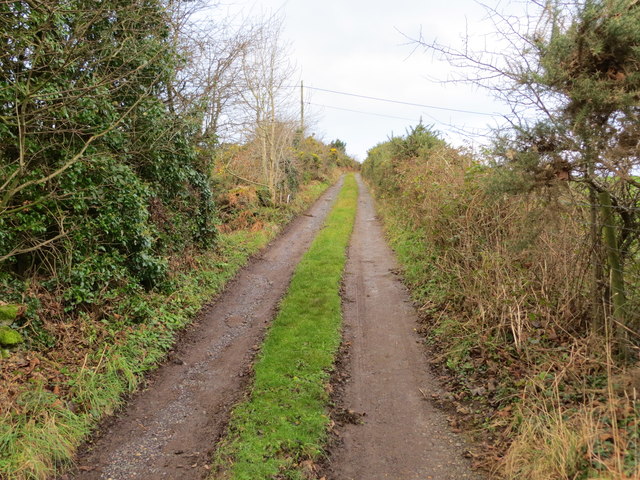
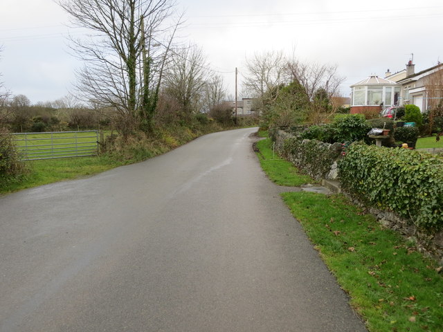
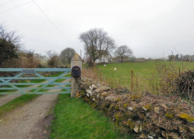
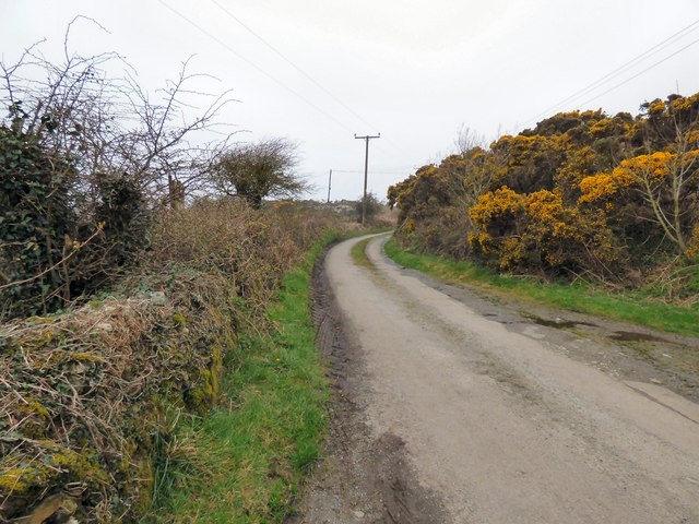
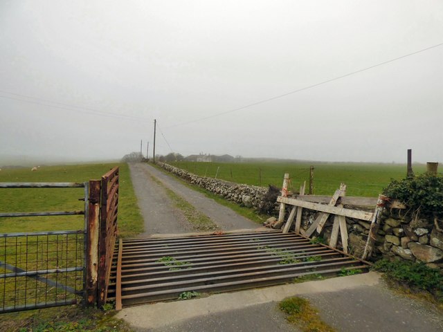
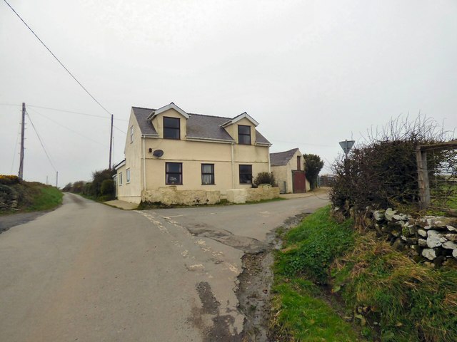
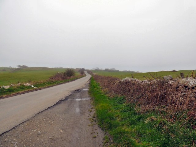
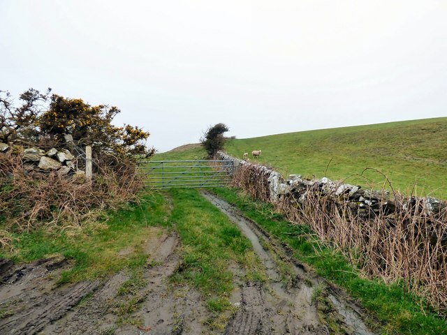
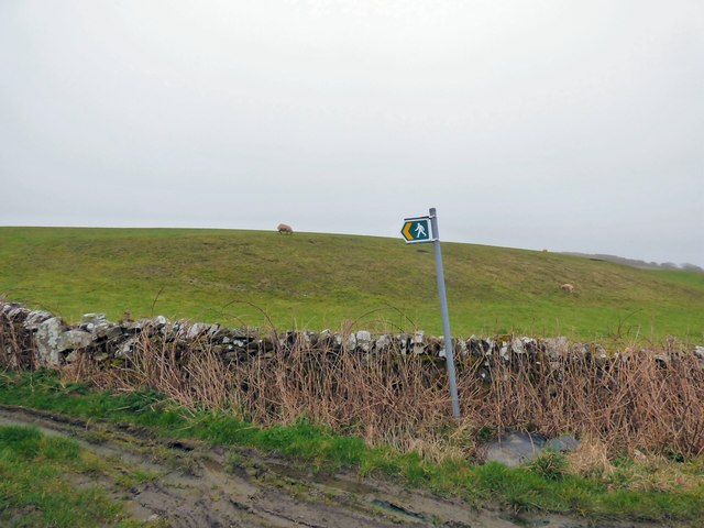
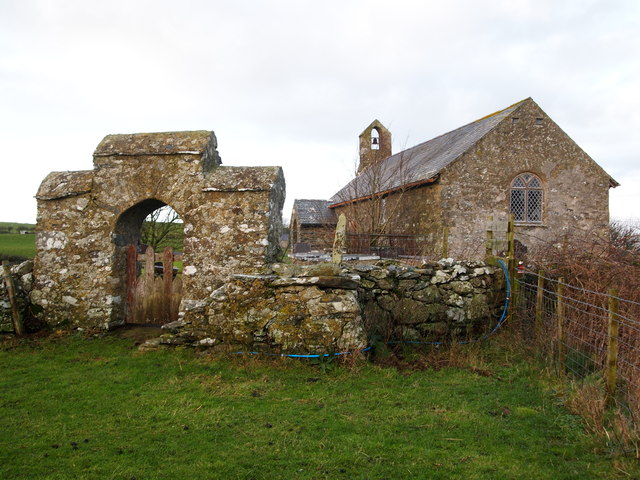
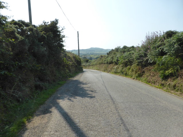
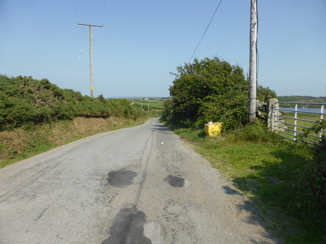
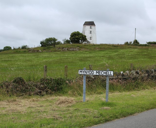
Llyn Gors-gôch Images

Images are sourced within 2km of 53.372614/-4.4770836 or Grid Reference SH3589. Thanks to Geograph Open Source API. All images are credited.

Enclosed track leading onto Mynydd Mechell Looking north-westward from the entrance to Bryn Engan
Enclosed track leading onto Mynydd Mechell
Looking north-westward from the entrance to Bryn Engan
Road through Melin Mechell Looking south-westward.
Road through Melin Mechell
Looking south-westward.
Garreg Fawr
Garreg Fawr
Lane passing Garreg Fawr
Cott Farm
Cott Farm
Road junction at Gors-Goch
The road to Llanrhyddlad
  Footpath to Llanfflewin
Footpath to Llanfflewin
  Grazing sheep   
  Above the footpath to Llanfflewin <a href="https://www.geograph.org.uk/photo/6099632">SH3588 :   Footpath to Llanfflewin</a>.
Grazing sheep
Above the footpath to Llanfflewin SH3588 : Footpath to Llanfflewin.
 Sheep safely grazing   
  Above the footpath to Llanfflewin <a href="https://www.geograph.org.uk/photo/6099638">SH3588 :   Grazing sheep</a>.
Sheep safely grazing
Above the footpath to Llanfflewin SH3588 : Grazing sheep.
Eglwys St Fflewin
Eglwys St Fflewin
Looking towards Mynydd y Garn
Minor road near Llyn Llygeirian The lake can just be seen on the right of the photo.
Minor road near Llyn Llygeirian
The lake can just be seen on the right of the photo.
Melin Mechell mill This mill is also known as Melin Minffordd and Melin Maen Arthur (the name of a nearby hill). Nothing is known of its origin and it first appears in the historical records in 1883 when Robert Parry is listed as the miller in Slater's Directory. It continued to be run by Parrys until its closure sometime around World War I.
Melin Mechell mill
This mill is also known as Melin Minffordd and Melin Maen Arthur (the name of a nearby hill). Nothing is known of its origin and it first appears in the historical records in 1883 when Robert Parry is listed as the miller in Slater's Directory. It continued to be run by Parrys until its closure sometime around World War I.
Hedge enclosed lane from A5025 to Llanfechell Looking eastward in the direction of Llanfechell.
Hedge enclosed lane from A5025 to Llanfechell
Looking eastward in the direction of Llanfechell.
Lane near Bryn Eglwys Looking north-eastward.
Lane near Bryn Eglwys
Looking north-eastward.
Road through Melin Mechell Looking north-westward.
Road through Melin Mechell
Looking north-westward.
Mynydd Mechell A view looking to the southeast across the lane from Llanfechell towards the windmill at Mynydd Mechell, now converted to a private dwelling like many on Anglesey.
Mynydd Mechell
A view looking to the southeast across the lane from Llanfechell towards the windmill at Mynydd Mechell, now converted to a private dwelling like many on Anglesey.
Show me another place!

Llyn Gors-gôch is located at Grid Ref: SH3589 (Lat: 53.372614, Lng: -4.4770836)

Unitary Authority: Isle of Anglesey

Police Authority: North Wales

What 3 Words

///lakes.syndicate.dorms. Near Llanfaethlu, Isle of Anglesey

Related Wikis

Llanfflewyn

Llanfflewyn is a village in the community of Mechell, Anglesey, Wales, which is 141.9 miles (228.3 km) from Cardiff and 224.1 miles (360.6 km) from London...

St Fflewin's Church, Llanfflewin

St Fflewin's Church, Llanfflewin (sometimes referred to as St Fflewyn's Church, Llanfflewyn) is a small rural church, situated by a farm in Anglesey, Wales...

Mynydd Mechell

Mynydd Mechell is an area in the community of Mechell, Anglesey, Wales, which is 141.9 miles (228.4 km) from Cardiff and 223.8 miles (360.2 km) from London...

Llanrhyddlad

Llanrhyddlad (Welsh: Llan-Rhûddlad) is a hamlet in Anglesey, in north-west Wales. in the community of Cylch-y-Garn. == References ==

Nearby Amenities

Located within 500m of 53.372614,-4.4770836
Llanfflewyn
Place: village
Source: NPE
Wikidata: Q16033793
Lat/Long: 53.3695282/-4.4726506
Source: OS VectorMap District
Lat/Long: 53.3762621/-4.4781328
Source: OS VectorMap District
Lat/Long: 53.3762838/-4.4774447
Source: OS VectorMap District
Lat/Long: 53.3762881/-4.4772112
Source: OS VectorMap District
Lat/Long: 53.3763026/-4.4766076
Source: OS VectorMap District
Lat/Long: 53.376351/-4.477216
Source: OS VectorMap District
Lat/Long: 53.376394/-4.4771933
Source: OS VectorMap District
Lat/Long: 53.3764064/-4.4765023
Source: OS VectorMap District
Lat/Long: 53.3764265/-4.476554
Source: OS VectorMap District
Lat/Long: 53.3764351/-4.4765763
Source: OS VectorMap District
Lat/Long: 53.3764689/-4.4765318
Source: OS VectorMap District
Lat/Long: 53.3764835/-4.4770547
Source: OS VectorMap District
Lat/Long: 53.3764904/-4.4774387
Source: OS VectorMap District
Lat/Long: 53.3765383/-4.4764789
Source: OS VectorMap District
Lat/Long: 53.3765656/-4.4769619
Source: OS VectorMap District
Lat/Long: 53.3765773/-4.4764718
Source: OS VectorMap District
Lat/Long: 53.3765969/-4.4774509
Source: OS VectorMap District
Lat/Long: 53.3766147/-4.4779189
Source: OS VectorMap District
Lat/Long: 53.376624/-4.4764867
Source: OS VectorMap District
Lat/Long: 53.3767352/-4.4763042
Source: OS VectorMap District
Lat/Long: 53.3767851/-4.4766102
Source: OS VectorMap District
Lat/Long: 53.3768218/-4.4766579
Source: OS VectorMap District
Lat/Long: 53.3768596/-4.4762664
Source: OS VectorMap District
Lat/Long: 53.3768777/-4.4768079
Source: OS VectorMap District
Lat/Long: 53.3769005/-4.4768305
Source: OS VectorMap District
Lat/Long: 53.3769354/-4.4766225
Source: OS VectorMap District
Lat/Long: 53.3769513/-4.4768317
Direction: ESE
Generator Method: photovoltaic
Generator Output Electricity: yes
Generator Solar Modules: 2
Generator Source: solar
Generator Type: solar_photovoltaic_panel
Location: roof
Power: generator
Lat/Long: 53.3718169/-4.4750129
Direction: SSW
Generator Method: photovoltaic
Generator Output Electricity: yes
Generator Solar Modules: 3
Generator Source: solar
Generator Type: solar_photovoltaic_panel
Location: roof
Power: generator
Lat/Long: 53.3717885/-4.4750639
Direction: WNW
Generator Method: photovoltaic
Generator Output Electricity: yes
Generator Solar Modules: 5
Generator Source: solar
Generator Type: solar_photovoltaic_panel
Location: roof
Power: generator
Lat/Long: 53.3718321/-4.4750699
Direction: SSW
Generator Method: photovoltaic
Generator Output Electricity: yes
Generator Solar Modules: 10
Generator Source: solar
Generator Type: solar_photovoltaic_panel
Location: roof
Power: generator
Lat/Long: 53.3718785/-4.4750968
The data included in this document is from www.openstreetmap.org. The data is made available under ODbL.

Have you been to Llyn Gors-gôch?

Leave your review of Llyn Gors-gôch below (or comments, questions and feedback).