Bengeworth

Settlement in Worcestershire Wychavon

England

Bengeworth

Oat St  Car Park, Evesham The pay and display car park in Oat St in Evesham, with associated signs.
Oat St Car Park, Evesham Credit: Rob Newman

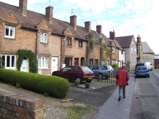
Bengeworth is a charming village located in the county of Worcestershire in England. Situated on the outskirts of the historic market town of Evesham, Bengeworth is known for its picturesque setting and rich history.

The village is primarily residential, with a population of around 5,000 residents. Its close proximity to Evesham offers the convenience of amenities and services, while still maintaining a peaceful and rural atmosphere. Bengeworth is well-connected, with easy access to major transportation routes including the M5 motorway and the nearby Evesham railway station.

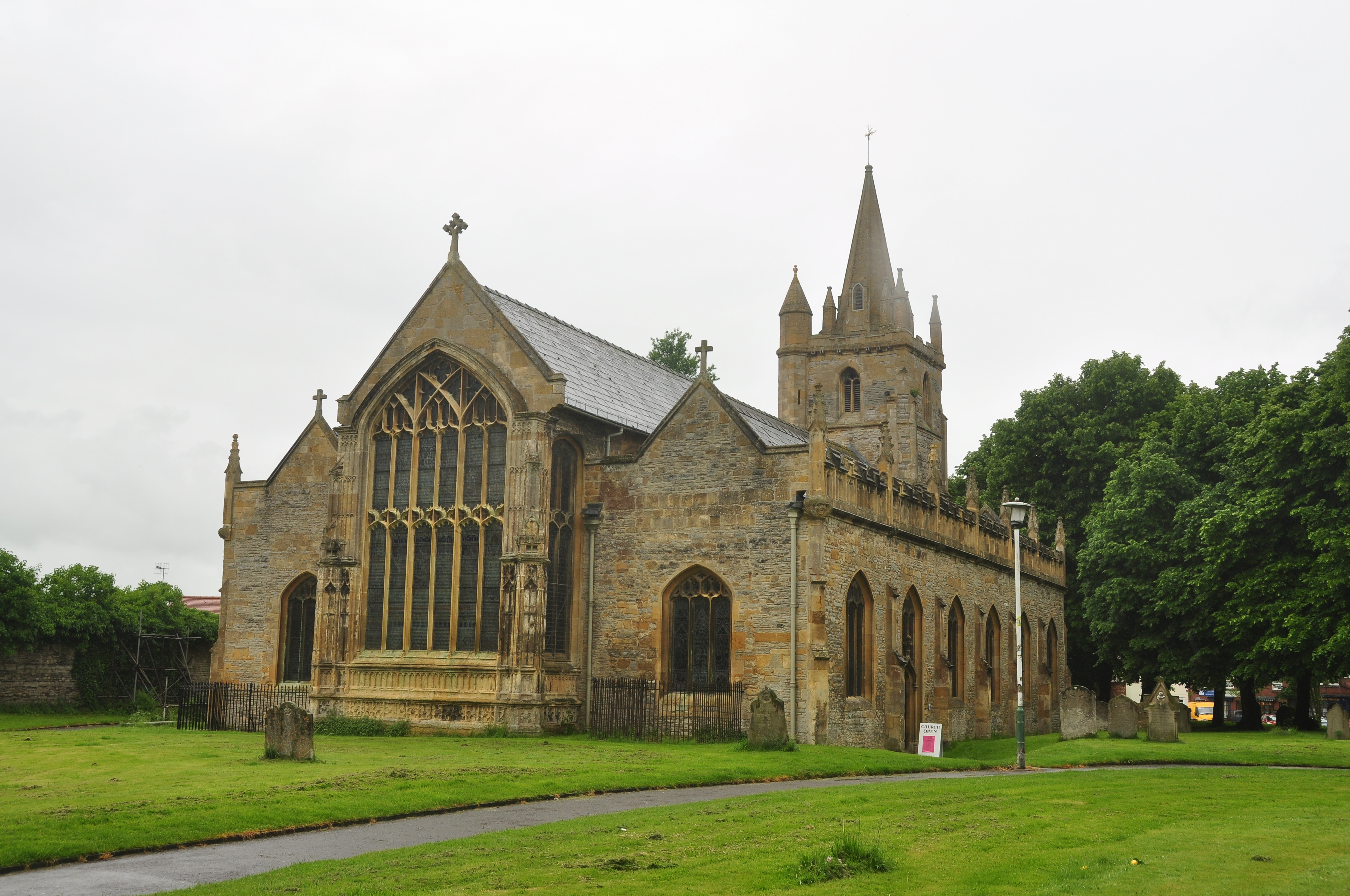
The village boasts a number of notable landmarks and attractions. St Peter's Church, a Grade I listed building dating back to the 12th century, stands as a prominent feature in the village. The Bengeworth Club, a community hub, offers various recreational activities and social events for residents.

Surrounded by stunning countryside, Bengeworth offers ample opportunities for outdoor activities. The nearby River Avon provides picturesque walks and fishing spots, while the Cotswolds, an Area of Outstanding Natural Beauty, are just a short drive away.

Bengeworth also benefits from a range of local amenities including shops, pubs, and schools, making it an attractive place to live for families and individuals alike. With its peaceful setting, strong community spirit, and easy access to surrounding areas, Bengeworth is a delightful village that captures the essence of Worcestershire's rural charm.

If you have any feedback on the listing, please let us know in the comments section below.
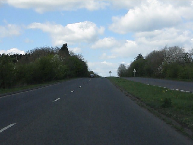
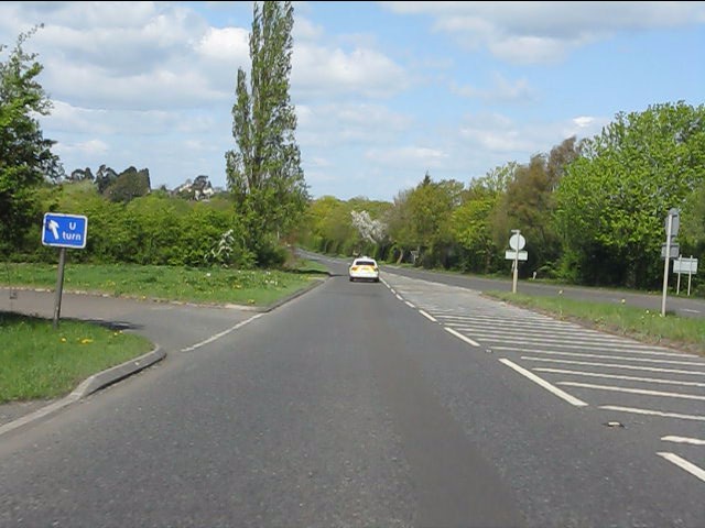
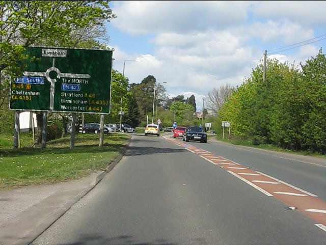
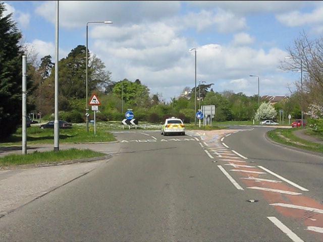
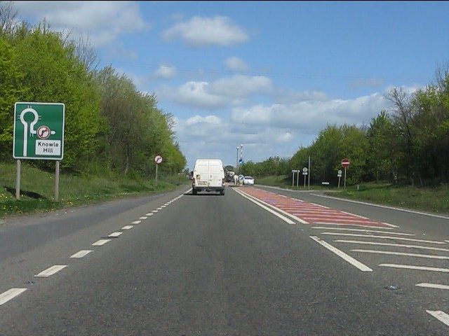
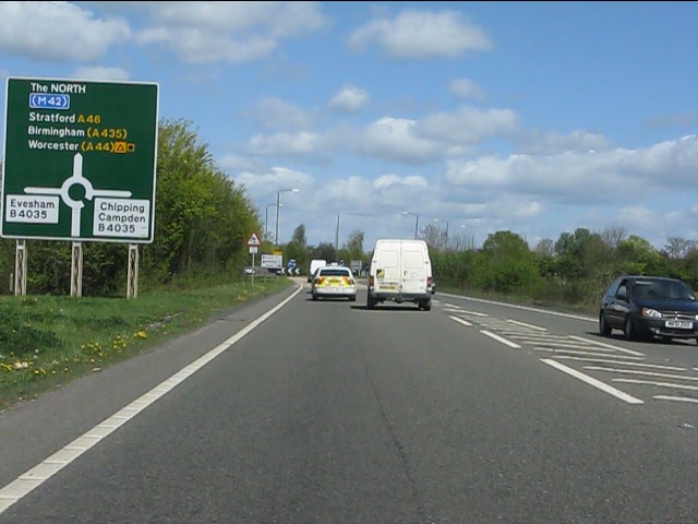
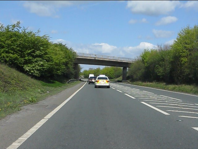
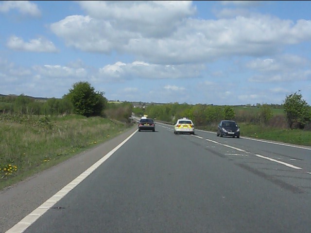
Bengeworth Images

Images are sourced within 2km of 52.089342/-1.932099 or Grid Reference SP0443. Thanks to Geograph Open Source API. All images are credited.

Oat St  Car Park, Evesham The pay and display car park in Oat St in Evesham, with associated signs.
Oat St Car Park, Evesham
The pay and display car park in Oat St in Evesham, with associated signs.
Evesham station car park The view of the car park at Evesham railway station with the station buildings on the right. The existing station is on the ex-GWR lines, but there was another station to the left of the car park with its own building. This closed in the 1960s.
Evesham station car park
The view of the car park at Evesham railway station with the station buildings on the right. The existing station is on the ex-GWR lines, but there was another station to the left of the car park with its own building. This closed in the 1960s.
Paved Square, Evesham A paved square just off the High St, Evesham
Paved Square, Evesham
A paved square just off the High St, Evesham
F Hinds Building and Pedestrian Area, Evesham Detail of the building containing the firm of F Hinds in Evesham and pedestrianised area
F Hinds Building and Pedestrian Area, Evesham
Detail of the building containing the firm of F Hinds in Evesham and pedestrianised area
A brief interlude of dual carriageway Blessed relief on the A44 over Longdon Hill!
A brief interlude of dual carriageway
Blessed relief on the A44 over Longdon Hill!
Dual carriageway ends on the A44 The north side of Longdon Hill's dual carriageway.  The "U" turn facility is interesting: this is the only signpost for it.
Dual carriageway ends on the A44
The north side of Longdon Hill's dual carriageway. The "U" turn facility is interesting: this is the only signpost for it.
A44 approaches the Evesham bypass The A44 and A46 are conjoined for the bypass, going separate ways again near Twyford.
A44 approaches the Evesham bypass
The A44 and A46 are conjoined for the bypass, going separate ways again near Twyford.
A44 southern roundabout, Evesham bypass
Evesham bypass - no right turn ahead for Knowle Hill
Evesham bypass - approaching the B4035 roundabout
Evesham bypass - B4510 overbridge
Speeding along the Evesham bypass Don't worry, we'll soon catch up with the police car again due to the traffic ahead.  The driving style undoubtedly had nothing to link it with a 2pm shift change at Worcester HQ.
Speeding along the Evesham bypass
Don't worry, we'll soon catch up with the police car again due to the traffic ahead. The driving style undoubtedly had nothing to link it with a 2pm shift change at Worcester HQ.
The River Avon at Evesham looking upstream
St Lawrence's Church in Evesham from the nearby Bell Tower
The main east window in St Lawrence's Church, Evesham The window depicts the Resurrection, the Last Supper, the Evangelists, the Arms of the Worcester diocese, the grid-iron on which St Lawrence died and the Arms of Evesham Abbey.
The main east window in St Lawrence's Church, Evesham
The window depicts the Resurrection, the Last Supper, the Evangelists, the Arms of the Worcester diocese, the grid-iron on which St Lawrence died and the Arms of Evesham Abbey.
The Last Supper depicted in the main east window of St Lawrence's Church, Evesham
New asparagus season in Evesham
Abbey Road Nurseries Remarkable to find a nursery this close to the town centre.
Abbey Road Nurseries
Remarkable to find a nursery this close to the town centre.
Show me another place!

Bengeworth is located at Grid Ref: SP0443 (Lat: 52.089342, Lng: -1.932099)

Administrative County: Worcestershire

District: Wychavon

Police Authority: West Mercia

What 3 Words

///shares.retaliate.browser. Near Evesham, Worcestershire

Nearby Locations

Bengeworth

Related Wikis

The De Montfort School

The De Montfort School (formerly known as The Federation of Evesham High School & Simon de Montfort Middle School) is a co-educational secondary school...

Bengeworth

Bengeworth is a locality adjoining Evesham in Worcestershire, England. In 1887 it had a population of 1,311. Today it has a school and an Anglican church...

Vale of Evesham School

Vale of Evesham School in Evesham, in the county of Worcestershire, England, is a special needs school for around 150 mixed gender pupils aged 3 to 19...

Evesham Rowing Club

Evesham Rowing Club is a rowing club on the River Avon, based at The Boathouse, Abbey Park, Evesham, Worcestershire. == History == The club was founded...

Evesham Abbey

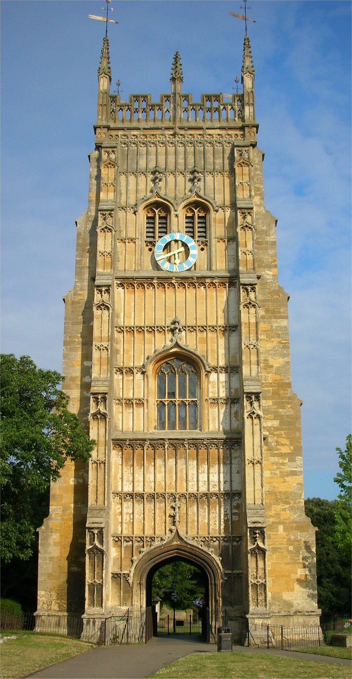
Evesham Abbey was founded by Saint Egwin at Evesham in Worcestershire, England between 700 and 710 following an alleged vision of the Virgin Mary by a...

Evesham

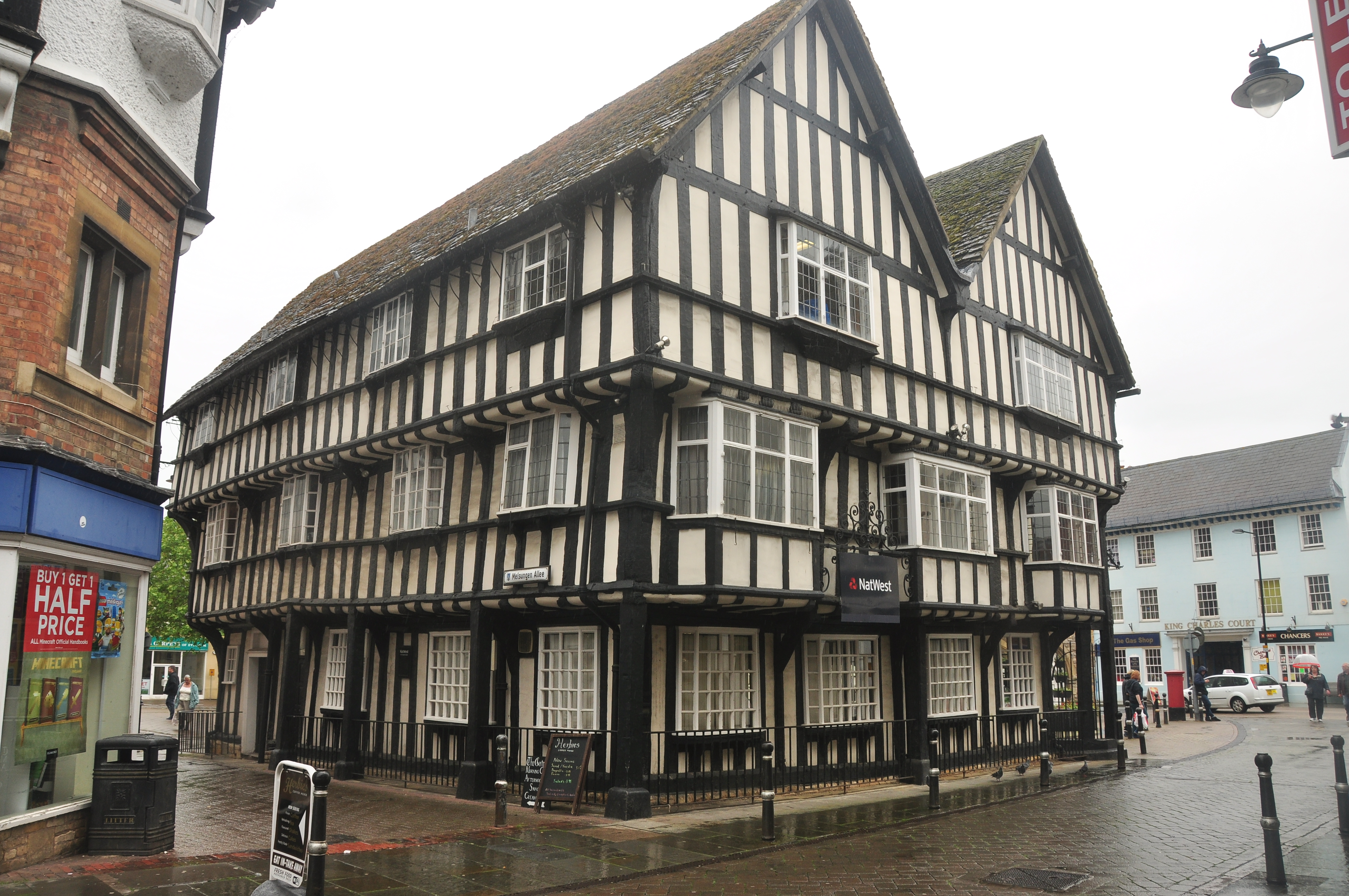
Evesham () is a market town and parish in the Wychavon district of Worcestershire, in the West Midlands region of England. It is located roughly equidistant...

All Saints Church, Evesham

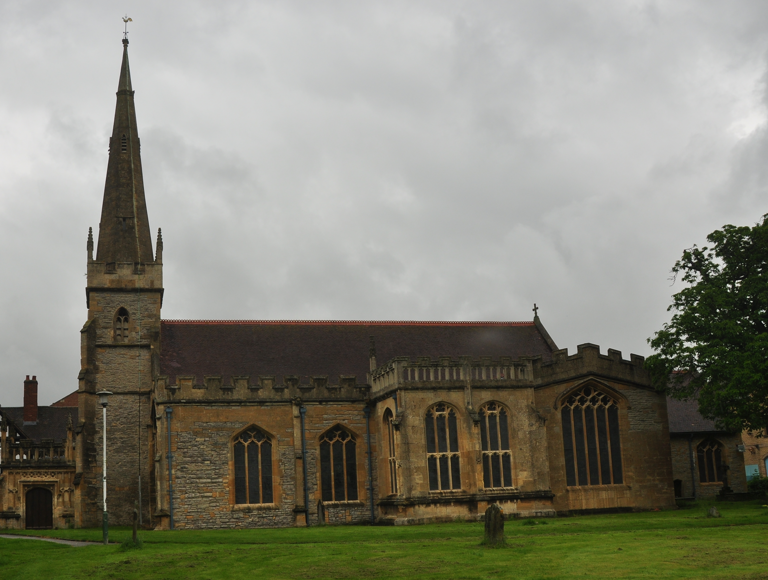
All Saints Church is an active Anglican church in the centre of the town of Evesham, Worcestershire, England. All Saints and its neighbour St Lawrence...

St Lawrence's Church, Evesham

St Lawrence's Church is a redundant Anglican church in the centre of the town of Evesham, Worcestershire, England. It is recorded in the National Heritage...

Nearby Amenities

Located within 500m of 52.089342,-1.932099
Crossing
Button Operated: yes
Crossing: traffic_signals
Crossing Island: no
Crossing Ref: pelican
Tactile Paving: yes
Traffic Signals Sound: no
Traffic Signals Vibration: no
Lat/Long: 52.0888344/-1.9328002
Mini Roundabout
Lat/Long: 52.0914548/-1.9282186
Bengeworth
Place: suburb
Wikidata: Q4887743
Wikipedia: en:Bengeworth
Lat/Long: 52.0926935/-1.9347562
Post Box
Collection Times: Mo-Fr 17:30; Sa 11:00; Su off
Post Box Type: pillar
Postal Code: WR11
Ref: WR11 44
Royal Cypher: GVIR
Royal Cypher Wikidata: Q33102169
Lat/Long: 52.0913715/-1.9290731
Post Box
Check Date: 2022-10-17
Collection Times: Mo-Fr 17:15; Sa 11:00; Su off
Post Box Type: pillar
Postal Code: WR11
Ref: WR11 1
Royal Cypher: EIIR
Royal Cypher Wikidata: Q33102113
Lat/Long: 52.0908921/-1.9370212
Post Box
Check Date Collection Times: 2022-10-17
Collection Times: Mo-Fr 17:30; Sa 11:00
Note: My description says WR11 34, but originally had different number. Need to go again and resurvey
Note2: Suspect recently nicked/replaced and RM have put wrong plate on.
Note3: In Sep 2015 the ref on plate was WR11 155
Post Box Type: lamp
Postal Code: WR11
Ref: WR11 155
Royal Cypher: EIIR
Royal Cypher Wikidata: Q33102113
Lat/Long: 52.0918483/-1.9334238
Post Box
Collection Times: Mo-Fr 17:30; Sa 11:00
Post Box Type: pillar
Postal Code: WR11
Ref: WR11 127
Royal Cypher: GVIR
Royal Cypher Wikidata: Q33102169
Lat/Long: 52.0862949/-1.9298225
Traffic Signals
Button Operated: yes
Crossing: traffic_signals
Crossing Ref: pelican
Tactile Paving: no
Traffic Signals Sound: yes
Traffic Signals Vibration: no
Lat/Long: 52.0857016/-1.9331933
Bicycle Parking
Bicycle Parking: stands
Capacity: 4
Covered: no
Cyclestreets Id: 27016
Lat/Long: 52.0905086/-1.9382916
Post Box
Collection Times: Mo-Fr 17:30; Sa 11:00; Su off
Post Box Manufacturer: Lion Foundry Co Ltd Kirkintilloch
Post Box Type: wall
Ref: WR11 206
Royal Cypher: EIIR
Royal Cypher Wikidata: Q33102113
Source: survey;bing
Source Ref: survey
Lat/Long: 52.0906649/-1.9384677
Badsey Lane
Naptan AtcoCode: 2000G002101
Naptan Bearing: W
Naptan CommonName: Badsey Lane
Naptan Crossing: Badsey Lane
Naptan Indicator: Adj
Naptan NaptanCode: wocdawmw
Naptan PlusbusZoneRef: EVESHAM
Naptan Street: Elm Road
Naptan Verified: no
Note: not_present
Source: naptan_import
Lat/Long: 52.0903044/-1.9344989
Bus Stop
Cemetery
Bench: yes
Bin: yes
Bus: yes
Lit: yes
Naptan AtcoCode: 2000G002102
Naptan Bearing: SE
Naptan CommonName: Cemetery
Naptan Indicator: Opp
Naptan Landmark: Cemetery
Naptan NaptanCode: wocdawpa
Naptan PlusbusZoneRef: EVESHAM
Naptan Street: Broadway Road
Naptan Verified: no
Public Transport: platform
Route Ref: 247
Shelter: yes
Source: naptan_import
Tactile Paving: no
Lat/Long: 52.0899082/-1.934593
Bus Stop
Talbot Inn
Bench: no
Bin: no
Bus: yes
Lit: yes
Naptan AtcoCode: 2000G002201
Naptan Bearing: NW
Naptan CommonName: Talbot Inn
Naptan Indicator: adj
Naptan Landmark: Talbot Inn
Naptan NaptanCode: wocdawpd
Naptan PlusbusZoneRef: EVESHAM
Naptan Street: Port Street
Naptan Verified: yes
Public Transport: platform
Shelter: no
Source: naptan_import
Tactile Paving: no
Lat/Long: 52.090505/-1.9381472
Bus Stop
Cemetery
Bench: yes
Bin: no
Bus: yes
Lit: yes
Naptan AtcoCode: 2000G002202
Naptan Bearing: NW
Naptan CommonName: Cemetery
Naptan Indicator: Adj
Naptan Landmark: Cemetery
Naptan NaptanCode: wocdawpg
Naptan PlusbusZoneRef: EVESHAM
Naptan Street: Broadway Road
Naptan Verified: no
Public Transport: platform
Route Ref: 247
Shelter: yes
Source: naptan_import
Tactile Paving: no
Lat/Long: 52.0896631/-1.9343231
Bus Stop
Talbot Inn
Bench: no
Bin: no
Bus: yes
Lit: yes
Naptan AtcoCode: 2000G002203
Naptan Bearing: SE
Naptan CommonName: Talbot Inn
Naptan Indicator: opp
Naptan Landmark: Talbot Inn
Naptan NaptanCode: wocdawpj
Naptan PlusbusZoneRef: EVESHAM
Naptan Street: Port Street
Naptan Verified: no
Note: both_sides
Public Transport: platform
Route Ref: 247
Shelter: no
Source: naptan_import
Tactile Paving: no
Lat/Long: 52.0905602/-1.9380699
Bus Stop
Broadway Road
Bus: yes
Naptan AtcoCode: 2000G323269
Naptan Bearing: NW
Naptan CommonName: Broadway Road
Naptan Indicator: opp
Naptan Landmark: Mount Road
Naptan NaptanCode: wocgjpgt
Naptan PlusbusZoneRef: EVESHAM
Naptan Street: Broadway Road
Naptan Verified: no
Public Transport: platform
Route Ref: 28;28A
Shelter: no
Source: naptan_import
Lat/Long: 52.0866117/-1.930583
Bus Stop
Digby Road
Bench: no
Bin: no
Bus: yes
Naptan AtcoCode: 2000G500769
Naptan Bearing: N
Naptan CommonName: Digby Road
Naptan Indicator: Opp
Naptan Landmark: Digby Road
Naptan NaptanCode: wocdgmtm
Naptan PlusbusZoneRef: EVESHAM
Naptan Street: Davies Road
Naptan Verified: no
Public Transport: platform
Route Ref: 28;28A;247
Shelter: no
Source: naptan_import
Tactile Paving: no
Lat/Long: 52.0866078/-1.9326768
Bus Stop
Digby Road
Bench: yes
Bin: no
Bus: yes
Naptan AtcoCode: 2000G500770
Naptan Bearing: NE
Naptan CommonName: Digby Road
Naptan Indicator: Adj
Naptan Landmark: Digby Road
Naptan NaptanCode: wocdgpmj
Naptan PlusbusZoneRef: EVESHAM
Naptan Street: Davies Road
Naptan Verified: no
Public Transport: platform
Route Ref: 247
Shelter: yes
Source: naptan_import
Tactile Paving: no
Lat/Long: 52.0866458/-1.9328142
Bus Stop
Broadway Road
Bus: yes
Naptan AtcoCode: 2000G500772
Naptan Bearing: SE
Naptan CommonName: Broadway Road
Naptan Indicator: Adj
Naptan Landmark: Mount Road
Naptan NaptanCode: wocdgpmp
Naptan PlusbusZoneRef: EVESHAM
Naptan Street: Broadway Road
Naptan Verified: no
Public Transport: platform
Source: naptan_import
Lat/Long: 52.0864734/-1.93015
Bus Stop
Offenham Turn
Bus: yes
Naptan AtcoCode: 2000G500773
Naptan Bearing: E
Naptan CommonName: Offenham Turn
Naptan Indicator: adj
Naptan Landmark: Offenham Turn
Naptan NaptanCode: wocdgpmt
Naptan PlusbusZoneRef: EVESHAM
Naptan Street: Elm Road
Naptan Verified: no
Public Transport: platform
Source: naptan_import
Lat/Long: 52.0914535/-1.9288432
Bus Stop
Offenham Turn
Bus: yes
Naptan AtcoCode: 2000G500774
Naptan Bearing: W
Naptan CommonName: Offenham Turn
Naptan Indicator: opp
Naptan Landmark: Offenham Turn
Naptan NaptanCode: wocdgpmw
Naptan PlusbusZoneRef: EVESHAM
Naptan Street: Elm Road
Naptan Verified: no
Note: exists
Public Transport: platform
Source: naptan_import
Lat/Long: 52.0917158/-1.9264277
Bus Stop
Badsey Lane
Bench: no
Bin: yes
Bus: yes
Naptan AtcoCode: 2000G500775
Naptan Bearing: NE
Naptan CommonName: Badsey Lane
Naptan Crossing: Badsey Lane
Naptan Indicator: Opp
Naptan NaptanCode: wocdgpta
Naptan PlusbusZoneRef: EVESHAM
Naptan Street: Elm Road
Naptan Verified: no
Note: both_sides
Public Transport: platform
Shelter: no
Source: naptan_import
Tactile Paving: no
Lat/Long: 52.0904946/-1.9341154
Bus Stop
Church
Bus: yes
Naptan AtcoCode: 2000G500777
Naptan Bearing: SW
Naptan CommonName: Church
Naptan Indicator: Opp
Naptan Landmark: Church
Naptan NaptanCode: wocdgptd
Naptan PlusbusZoneRef: EVESHAM
Naptan Street: Kings Road
Naptan Verified: no
Public Transport: platform
Source: naptan_import
Lat/Long: 52.0905158/-1.9349178
Bus Stop
Church
Bus: yes
Naptan AtcoCode: 2000G500778
Naptan Bearing: NE
Naptan CommonName: Church
Naptan Indicator: Adj
Naptan Landmark: Church
Naptan NaptanCode: wocdgptg
Naptan PlusbusZoneRef: EVESHAM
Naptan Street: Kings Road
Naptan Verified: no
Public Transport: platform
Source: naptan_import
Lat/Long: 52.0906607/-1.9349993
Bus Stop
Kings Road
Bench: no
Bin: no
Bus: yes
Lit: yes
Naptan AtcoCode: 2000G500779
Naptan Bearing: NE
Naptan CommonName: Kings Road
Naptan Indicator: opp
Naptan Landmark: Glencoe Road
Naptan NaptanCode: wocdgptj
Naptan PlusbusZoneRef: EVESHAM
Naptan Street: Kings Road
Naptan Verified: no
Public Transport: platform
Shelter: no
Source: naptan_import
Tactile Paving: no
Lat/Long: 52.0922332/-1.9342845
Bus Stop
Kings Road
Bench: no
Bin: no
Bus: yes
Lit: yes
Naptan AtcoCode: 2000G500780
Naptan Bearing: SW
Naptan CommonName: Kings Road
Naptan Indicator: Adj
Naptan Landmark: Glencoe Road
Naptan NaptanCode: wocdgptm
Naptan PlusbusZoneRef: EVESHAM
Naptan Street: Kings Road
Naptan Verified: no
Public Transport: platform
Shelter: no
Source: naptan_import
Tactile Paving: no
Lat/Long: 52.0921938/-1.9341103
Bus Stop
Deacle Place
Bus: yes
Naptan AtcoCode: 2000G500781
Naptan Bearing: E
Naptan BusStopType: CUS
Naptan CommonName: Deacle Place
Naptan Indicator: Adj
Naptan NaptanCode: wocdgptp
Naptan PlusbusZoneRef: EVESHAM
Naptan Street: Deacle Place
Naptan Verified: no
Physically Present: no
Public Transport: platform
Source: naptan_import
Lat/Long: 52.0933286/-1.9325826
Bus Stop
Deacle Place
Bench: no
Bin: no
Bus: yes
Lit: yes
Naptan AtcoCode: 2000G500782
Naptan Bearing: NW
Naptan CommonName: Deacle Place
Naptan Indicator: Adj
Naptan NaptanCode: wocdgptw
Naptan PlusbusZoneRef: EVESHAM
Naptan Street: Deacle Place
Naptan Verified: no
Public Transport: platform
Shelter: no
Source: naptan_import
Tactile Paving: no
Lat/Long: 52.0932695/-1.9328227
Bus Stop
Deacle Place
Bench: no
Bin: no
Bus: yes
Lit: no
Naptan AtcoCode: 2000G500783
Naptan Bearing: NW
Naptan CommonName: Deacle Place
Naptan Indicator: Adj
Naptan NaptanCode: wocdgpwa
Naptan PlusbusZoneRef: EVESHAM
Naptan Street: Deacle Place
Naptan Verified: no
Public Transport: platform
Shelter: no
Source: naptan_import
Tactile Paving: no
Lat/Long: 52.0927336/-1.9304075
Bus Stop
Deacle Place
Bench: no
Bin: no
Bus: yes
Lit: no
Naptan AtcoCode: 2000G500784
Naptan Bearing: SE
Naptan CommonName: Deacle Place
Naptan Indicator: Adj
Naptan NaptanCode: wocdgpwd
Naptan PlusbusZoneRef: EVESHAM
Naptan Street: Deacle Place
Naptan Verified: no
Public Transport: platform
Shelter: no
Source: naptan_import
Tactile Paving: no
Lat/Long: 52.0928305/-1.9303541
Post Box
Collection Times: Mo-Fr 17:15; Sa 11:00
Operator: Royal Mail
Operator Wikidata: Q638098
Post Box Type: pillar
Ref: WR11 124
Royal Cypher: GVIR
Royal Cypher Wikidata: Q33102169
Lat/Long: 52.0893638/-1.928776
Crossing
Button Operated: yes
Crossing: traffic_signals
Crossing Island: no
Crossing Ref: pelican
Tactile Paving: no
Traffic Signals Sound: yes
Traffic Signals Vibration: no
Lat/Long: 52.0905784/-1.9384262
Bengeworth Manor
Inscription: Role of owners. King Canute 1025, Evesham Abbey 1207, Earl Warwick 1268, Mentioned in Dissolution 1539, Sir Thomas Brigge 1594, Sir Edward Littleton 1636, Sir Thomas Haslewood -, Rev B Wilson 1743, Enclosure Act: Sir John Rushout 1774...
Memorial: plaque
Lat/Long: 52.0897942/-1.9383235
Old Church
Inscription: Porch of Medieval St Peter's Church. Opposite is the Manor House, the oldest house in Bengeworth.
Memorial: plaque
Operator: Evesham Civic Society
Lat/Long: 52.089709/-1.9382541
Addr City: Evesham
Addr Postcode: WR11 3DE
Source Postal Code: Land Registry
Lat/Long: 52.0930869/-1.9330121
Barrier: block
Lat/Long: 52.0908955/-1.9310945
Addr City: Evesham
Addr Postcode: WR11 3AN
Source Postcode: ONS Open Data
Lat/Long: 52.0906004/-1.9371785
Water Fountain
Inscription: PRESENTED BY HENRY BURLINGHAM IN COMMEMORATION OF THE OPENING OF THE WATER WORKS JAN 1ST 1884
Memorial: plaque
Url: http://www.evesham-mapped.org.uk/images/fountain.jpg
Lat/Long: 52.0901505/-1.9348139
Inscription: National Schools
Memorial: plaque
Lat/Long: 52.0892424/-1.9382504
Inscription: M 1914
Memorial: plaque
Lat/Long: 52.0892655/-1.9381377
Inscription: M.J.LOW & SONS (BUILDERS) LTD RESTORED 1982
Memorial: plaque
Lat/Long: 52.0902114/-1.9377766
Inscription: NATIONAL SCHOOLS 1896
Memorial: plaque
Lat/Long: 52.0915596/-1.9346122
Recycling
Location: overground
Recycling Glass: no
Recycling Glass Bottles: yes
Recycling Type: container
Lat/Long: 52.0902736/-1.9372764
Inscription: A.M.D.C. THIS STONE WAS LAID BY LEONARD S. SHAWCROSS 12TH OCTOBER 1922
Memorial: plaque
Lat/Long: 52.0894425/-1.9339547
Inscription: BENGEWORTH CHURCH HOUSE 1922
Memorial: plaque
Lat/Long: 52.0894587/-1.9340157
Inscription: THIS STONE WAS LAID BY COMMANDER B.M.EYRES-MONSELL: RN; MP 12TH OCTOBER 1922
Memorial: plaque
Lat/Long: 52.0894739/-1.9340727
Historic: milestone
Inscription: (none)
Url: http://www.evesham-mapped.org.uk/images/bway_rd_milestone.jpg
Lat/Long: 52.0856404/-1.9289129
Addr Housenumber: 30; 32
Addr Street: Cornflower Drive
Building: semidetached_house
Lat/Long: 52.0903553/-1.9249979
Addr Housenumber: 34; 36; 38
Addr Street: Cornflower Drive
Building: terrace
Lat/Long: 52.0905185/-1.9251079
Crossing
Crossing: traffic_signals
Crossing Island: no
Crossing Ref: pelican
Tactile Paving: yes
Lat/Long: 52.0906733/-1.9327622
Atm
Brand: Cashzone
Brand Wikidata: Q110738461
Check Date: 2022-10-17
Network: Allpoint
Network Wikidata: Q4733264
Operator: Cash Zone
Lat/Long: 52.0905051/-1.938457
Generator Method: photovoltaic
Generator Output Electricity: yes
Generator Source: solar
Generator Type: solar_photovoltaic_panel
Location: roof
Power: generator
Lat/Long: 52.0902329/-1.9390702
Generator Method: photovoltaic
Generator Output Electricity: yes
Generator Source: solar
Generator Type: solar_photovoltaic_panel
Location: roof
Power: generator
Lat/Long: 52.0902164/-1.9389924
Generator Method: photovoltaic
Generator Output Electricity: yes
Generator Source: solar
Generator Type: solar_photovoltaic_panel
Location: roof
Power: generator
Lat/Long: 52.0901979/-1.9389059
Generator Method: photovoltaic
Generator Output Electricity: yes
Generator Source: solar
Generator Type: solar_photovoltaic_panel
Location: roof
Power: generator
Lat/Long: 52.0901843/-1.9388502
Generator Method: photovoltaic
Generator Output Electricity: yes
Generator Source: solar
Generator Type: solar_photovoltaic_panel
Location: roof
Power: generator
Lat/Long: 52.0865227/-1.937373
Generator Method: photovoltaic
Generator Output Electricity: yes
Generator Source: solar
Generator Type: solar_photovoltaic_panel
Location: roof
Power: generator
Lat/Long: 52.0870385/-1.9374293
Generator Method: photovoltaic
Generator Output Electricity: yes
Generator Source: solar
Generator Type: solar_photovoltaic_panel
Location: roof
Power: generator
Lat/Long: 52.0876879/-1.9368768
Generator Method: photovoltaic
Generator Output Electricity: yes
Generator Source: solar
Generator Type: solar_photovoltaic_panel
Location: roof
Power: generator
Lat/Long: 52.0873022/-1.936968
Generator Method: photovoltaic
Generator Output Electricity: yes
Generator Source: solar
Generator Type: solar_photovoltaic_panel
Location: roof
Power: generator
Lat/Long: 52.0872643/-1.9368902
Generator Method: photovoltaic
Generator Output Electricity: yes
Generator Source: solar
Generator Type: solar_photovoltaic_panel
Location: roof
Power: generator
Lat/Long: 52.0849701/-1.9316492
Generator Method: photovoltaic
Generator Output Electricity: yes
Generator Source: solar
Generator Type: solar_photovoltaic_panel
Location: roof
Power: generator
Lat/Long: 52.0851036/-1.9309679
Generator Method: photovoltaic
Generator Output Electricity: yes
Generator Source: solar
Generator Type: solar_photovoltaic_panel
Location: roof
Power: generator
Lat/Long: 52.0851152/-1.9308928
Generator Method: photovoltaic
Generator Output Electricity: yes
Generator Source: solar
Generator Type: solar_photovoltaic_panel
Location: roof
Power: generator
Lat/Long: 52.08735/-1.927937
Generator Method: photovoltaic
Generator Output Electricity: yes
Generator Source: solar
Generator Type: solar_photovoltaic_panel
Location: roof
Power: generator
Lat/Long: 52.0874704/-1.9305924
Generator Method: photovoltaic
Generator Output Electricity: yes
Generator Source: solar
Generator Type: solar_photovoltaic_panel
Location: roof
Power: generator
Lat/Long: 52.0891382/-1.9317001
Generator Method: photovoltaic
Generator Output Electricity: yes
Generator Source: solar
Generator Type: solar_photovoltaic_panel
Location: roof
Power: generator
Lat/Long: 52.0889899/-1.9326684
Generator Method: photovoltaic
Generator Output Electricity: yes
Generator Source: solar
Generator Type: solar_photovoltaic_panel
Location: roof
Power: generator
Lat/Long: 52.0890805/-1.9318128
Generator Method: photovoltaic
Generator Output Electricity: yes
Generator Source: solar
Generator Type: solar_photovoltaic_panel
Location: roof
Power: generator
Lat/Long: 52.0888514/-1.9307077
Generator Method: photovoltaic
Generator Output Electricity: yes
Generator Source: solar
Generator Type: solar_photovoltaic_panel
Location: roof
Power: generator
Lat/Long: 52.0918755/-1.9276044
Generator Method: photovoltaic
Generator Output Electricity: yes
Generator Source: solar
Generator Type: solar_photovoltaic_panel
Location: roof
Power: generator
Lat/Long: 52.0897776/-1.9248712
Generator Method: photovoltaic
Generator Output Electricity: yes
Generator Source: solar
Generator Type: solar_photovoltaic_panel
Location: roof
Power: generator
Lat/Long: 52.091307/-1.9301042
Generator Method: photovoltaic
Generator Output Electricity: yes
Generator Source: solar
Generator Type: solar_photovoltaic_panel
Location: roof
Power: generator
Lat/Long: 52.0919184/-1.9295892
Generator Method: photovoltaic
Generator Output Electricity: yes
Generator Source: solar
Generator Type: solar_photovoltaic_panel
Location: roof
Power: generator
Lat/Long: 52.0905621/-1.9298038
Generator Method: photovoltaic
Generator Output Electricity: yes
Generator Source: solar
Generator Type: solar_photovoltaic_panel
Location: roof
Power: generator
Lat/Long: 52.088479/-1.9288382
Generator Method: photovoltaic
Generator Output Electricity: yes
Generator Source: solar
Generator Type: solar_photovoltaic_panel
Location: roof
Power: generator
Lat/Long: 52.0867254/-1.9349161
Generator Method: photovoltaic
Generator Output Electricity: yes
Generator Source: solar
Generator Type: solar_photovoltaic_panel
Location: roof
Power: generator
Lat/Long: 52.0866414/-1.9347337
Generator Method: photovoltaic
Generator Output Electricity: yes
Generator Source: solar
Generator Type: solar_photovoltaic_panel
Location: roof
Power: generator
Lat/Long: 52.0880439/-1.9326496
Generator Method: photovoltaic
Generator Output Electricity: yes
Generator Source: solar
Generator Type: solar_photovoltaic_panel
Location: roof
Power: generator
Lat/Long: 52.0891778/-1.9342375
Generator Method: photovoltaic
Generator Output Electricity: yes
Generator Source: solar
Generator Type: solar_photovoltaic_panel
Location: roof
Power: generator
Lat/Long: 52.0889981/-1.9367695
Generator Method: photovoltaic
Generator Output Electricity: yes
Generator Source: solar
Generator Type: solar_photovoltaic_panel
Location: roof
Power: generator
Lat/Long: 52.0893706/-1.9374427
Barrier: block
Lat/Long: 52.0908326/-1.9314138
The data included in this document is from www.openstreetmap.org. The data is made available under ODbL.

Have you been to Bengeworth?

Leave your review of Bengeworth below (or comments, questions and feedback).