Benacre

Settlement in Suffolk East Suffolk

England

Benacre

Looking towards Amos's Skirts plantation The blades of the wind turbines are just visible above the trees
Looking towards Amos's Skirts plantation Credit: Chris Holifield

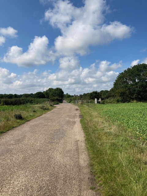
Benacre is a small village located on the east coast of Suffolk, England. It is situated within the Suffolk Coast and Heaths Area of Outstanding Natural Beauty, providing residents and visitors with stunning views of the surrounding countryside and coastline. The village is part of the civil parish of Wrentham and is approximately 4 miles south of Lowestoft.

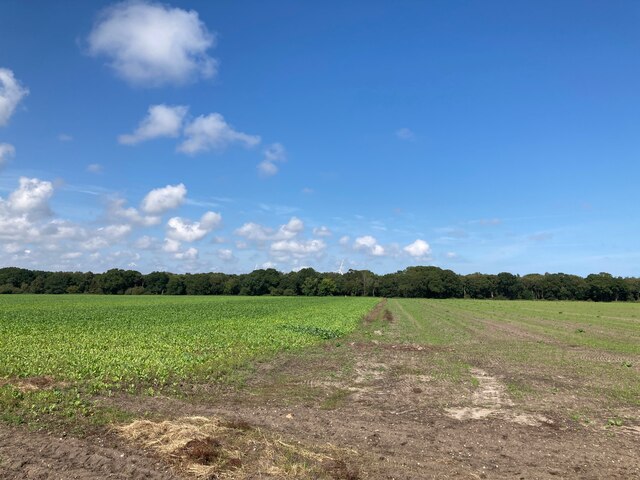
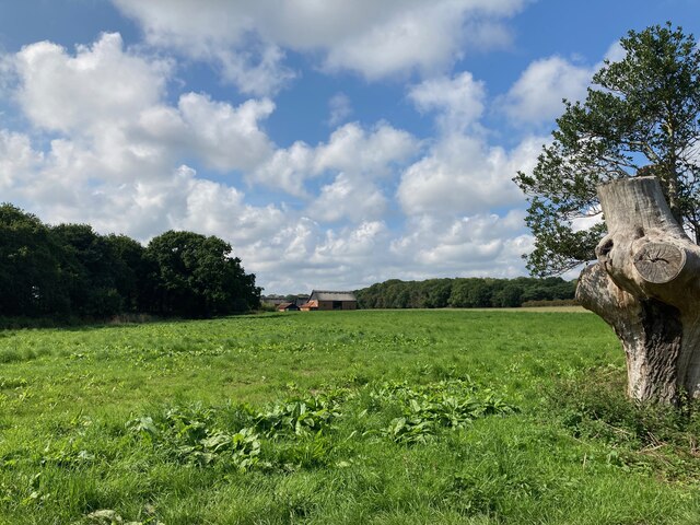
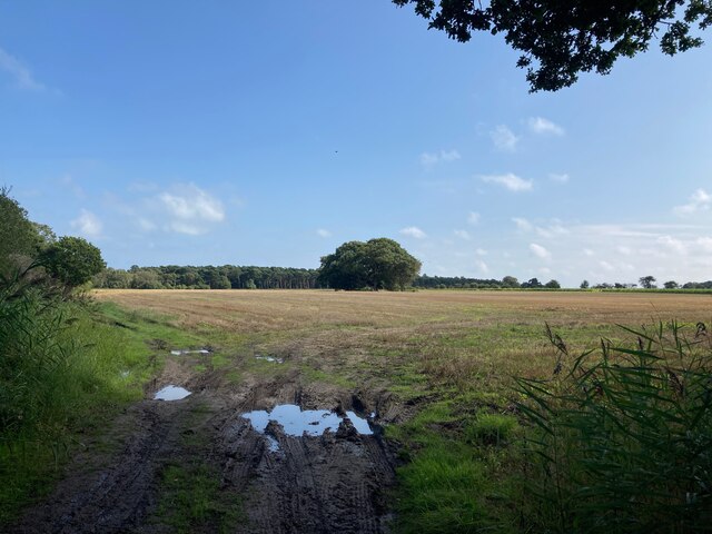
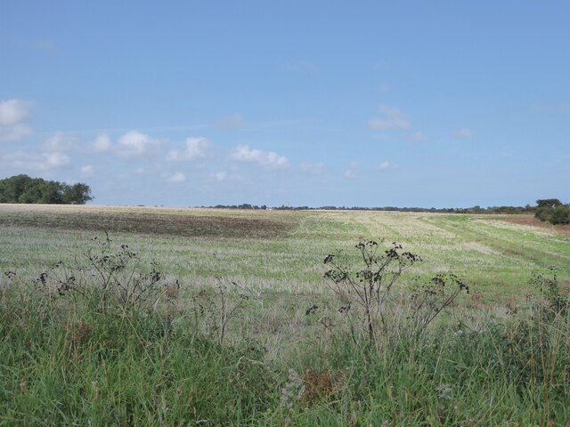
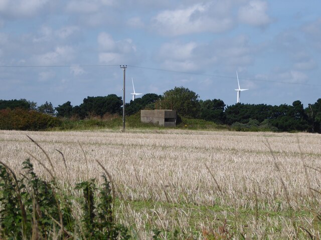
Benacre is known for its vast open spaces and unspoiled landscapes, making it a haven for nature enthusiasts and outdoor lovers. It is home to the Benacre National Nature Reserve, which covers an area of 400 hectares and boasts a diverse range of habitats, including marshes, reed beds, heathland, and woodland. This reserve attracts a wide variety of bird species, making it a popular spot for birdwatching.

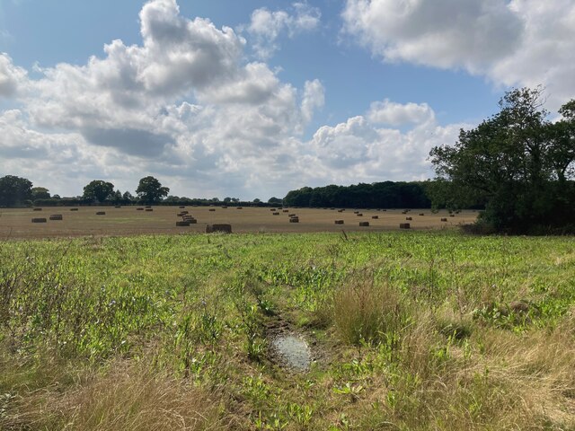
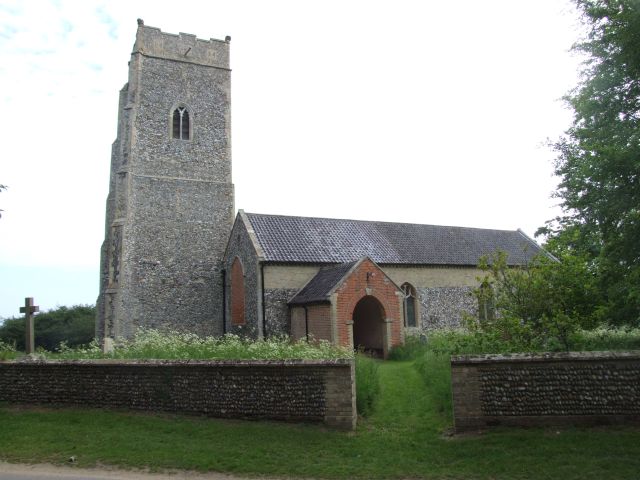
The village itself is characterized by a small population and a scattering of traditional cottages and farmhouses. It has a close-knit community that values its rural charm and tranquility. Despite its small size, Benacre has a rich history, with mentions in the Domesday Book of 1086.

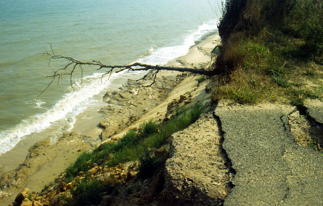
The coastal location of Benacre also provides opportunities for recreational activities such as fishing, sailing, and beachcombing. Benacre Beach, with its golden sands and rolling dunes, is a popular destination for locals and tourists alike.

Overall, Benacre offers a peaceful retreat from the hustle and bustle of city life, allowing visitors to immerse themselves in the beauty of the Suffolk coastline and enjoy the natural surroundings.

If you have any feedback on the listing, please let us know in the comments section below.

Benacre Images

Images are sourced within 2km of 52.399922/1.690814 or Grid Reference TM5184. Thanks to Geograph Open Source API. All images are credited.

Looking towards Amos's Skirts plantation The blades of the wind turbines are just visible above the trees
Looking towards Amos's Skirts plantation
The blades of the wind turbines are just visible above the trees
Looking towards Benacre Church
Looking towards Hall Farm
Bales in the field near Hall Farm
Looking towards Wood Farm
Looking towards North Common Wood
Field near Beach Farm Kessingland is in the far distance
Field near Beach Farm
Kessingland is in the far distance
Pillbox near Beach Farm, Benacre I believe this is a Vickers Machine Gun Pillbox dating from WWII: <span class="nowrap"><a title="https://www.tracesofwar.com/sights/23917/Vickers-MG-Pillbox-Benacre.htm" rel="nofollow ugc noopener" href="https://www.tracesofwar.com/sights/23917/Vickers-MG-Pillbox-Benacre.htm">Link</a><img style="margin-left:2px;" alt="External link" title="External link - shift click to open in new window" src="https://s1.geograph.org.uk/img/external.png" width="10" height="10"/></span>
Pillbox near Beach Farm, Benacre
I believe this is a Vickers Machine Gun Pillbox dating from WWII: LinkExternal link
Giraffes at Africa Wild
Daffodils In Holly Grove This private woodland [A permit is required from the landowner - Benacre estates] is carpeted with spring flowers -  now its dwarf daffodils -  next month should be bluebells.
Daffodils In Holly Grove
This private woodland [A permit is required from the landowner - Benacre estates] is carpeted with spring flowers - now its dwarf daffodils - next month should be bluebells.
Pond in Holly Grove One of the two larger ponds in Holly Grove Nature Reserve.   A permit is required to visit the woods.
Pond in Holly Grove
One of the two larger ponds in Holly Grove Nature Reserve. A permit is required to visit the woods.
Human figures and wind turbines The two figures give a very false impression of the size of the two wind turbines. They are not little domestic/farm units but massive machines for serious power generation. They appear to both be on the premises of Kessingland Zoo.

The turbines seem to be quite new and I couldn't find any other shots of them in Geograph.

The walkers are on a path from the coast.
Human figures and wind turbines
The two figures give a very false impression of the size of the two wind turbines. They are not little domestic/farm units but massive machines for serious power generation. They appear to both be on the premises of Kessingland Zoo. The turbines seem to be quite new and I couldn't find any other shots of them in Geograph. The walkers are on a path from the coast.
Wind turbines, Kessingland The sizes of these two wind turbines are more evident in this shot than in my previous submission <a href="https://www.geograph.org.uk/photo/2689628">TM5285 : Human figures and wind turbines</a>.
Wind turbines, Kessingland
The sizes of these two wind turbines are more evident in this shot than in my previous submission TM5285 : Human figures and wind turbines.
Wind turbines from footpath, Kessingland See also images <a href="https://www.geograph.org.uk/photo/2689628">TM5285 : Human figures and wind turbines</a> and <a href="https://www.geograph.org.uk/photo/2689630">TM5285 : Wind turbines, Kessingland</a>.
Wind turbines from footpath, Kessingland
Wind turbines through hedge, Kessingland As the footpath heads for the sea from the village street it goes from wide open fields, as seen in <a href="https://www.geograph.org.uk/photo/2689995">TM5285 : Wind turbines from footpath, Kessingland</a> into an area bounded by high hedges, leaving only this limited view back to the wind turbines.
Wind turbines through hedge, Kessingland
As the footpath heads for the sea from the village street it goes from wide open fields, as seen in TM5285 : Wind turbines from footpath, Kessingland into an area bounded by high hedges, leaving only this limited view back to the wind turbines.
Roadway into misty fields The footpath to the beach from the village street crosses this farm track.
Roadway into misty fields
The footpath to the beach from the village street crosses this farm track.
Kessingland wind turbines The two turbines, which were built by Triodos Renewables in 2011 and operated by EcoGen and Lowestoft company SLP, generate enough power for 3,000 homes, and now fulfil nearly all of Kessingland’s energy needs.

There is currently (Summer 2012) some controversy surrounding these turbines with residents are complaining about noise disturbance and flickering shadows. EcoGen have recently fitted a device that shuts down the turbines if shadows are cast over homes.
Kessingland wind turbines
The two turbines, which were built by Triodos Renewables in 2011 and operated by EcoGen and Lowestoft company SLP, generate enough power for 3,000 homes, and now fulfil nearly all of Kessingland’s energy needs. There is currently (Summer 2012) some controversy surrounding these turbines with residents are complaining about noise disturbance and flickering shadows. EcoGen have recently fitted a device that shuts down the turbines if shadows are cast over homes.
Layby on the A12 Looking towards Henstead at the junction with Dam Lane
Layby on the A12
Looking towards Henstead at the junction with Dam Lane
Show me another place!

Benacre is located at Grid Ref: TM5184 (Lat: 52.399922, Lng: 1.690814)

Administrative County: Suffolk

District: East Suffolk

Police Authority: Suffolk

What 3 Words

///airliners.slightly.widen. Near Kessingland, Suffolk

Related Wikis

Benacre, Suffolk

Benacre is a village and civil parish in the East Suffolk district of the English county of Suffolk. The village is located about 5+3⁄4 miles (9 km) south...

The Sunrise Coast

The Sunrise Coast is a stretch of tourist coastline in the English county of Suffolk. The area includes the seaside resort towns of Lowestoft and Southwold...

Benacre Broad

Benacre Broad is an isolated coastal lagoon on the North Sea coast of the English county of Suffolk. It is located in the parish of Benacre around 1⁄2...

Old Town Hall, Wrentham

The Old Town Hall is a former municipal building in the High Street in Wrentham, Suffolk, England. The building, which was the meeting place of Wrentham...

Pakefield to Easton Bavents

Pakefield to Easton Bavents is a 735.4-hectare (1,817-acre) biological and geological Site of Special Scientific Interest which stretches along the Suffolk...

Wrentham, Suffolk

Wrentham is a village and civil parish in the East Suffolk district, in the north-east of the English county of Suffolk. It is located about 2 miles (3...

Africa Alive!

Africa Alive! Zoological Reserve, formerly known as Africa Alive! and Suffolk Wildlife Park, is a zoo located in Kessingland, Suffolk, UK. It is situated...

Henstead

Henstead is a village near Kessingland and the A12 in the civil parish of Henstead with Hulver Street, in the county of Suffolk, England. It has a church...

Nearby Amenities

Located within 500m of 52.399922,1.690814
Place Of Worship
Benacre Church Gate
Service Times: CLOSED
Lat/Long: 52.4003233/1.690431
Post Box
Brand: Royal Mail
Brand Wikidata: Q638098
Brand Wikipedia: en:Royal Mail
Collection Times: Mo-Fr 16:15; Sa 08:00
Operator: Royal Mail
Operator Type: private
Operator Wikidata: Q638098
Post Box Type: lamp
Ref: NR34 3426
Royal Cypher: EIIR
Royal Cypher Wikidata: Q33102113
Lat/Long: 52.4000215/1.6906649
The data included in this document is from www.openstreetmap.org. The data is made available under ODbL.

Have you been to Benacre?

Leave your review of Benacre below (or comments, questions and feedback).