Church Covert
Wood, Forest in Suffolk East Suffolk
England
Church Covert
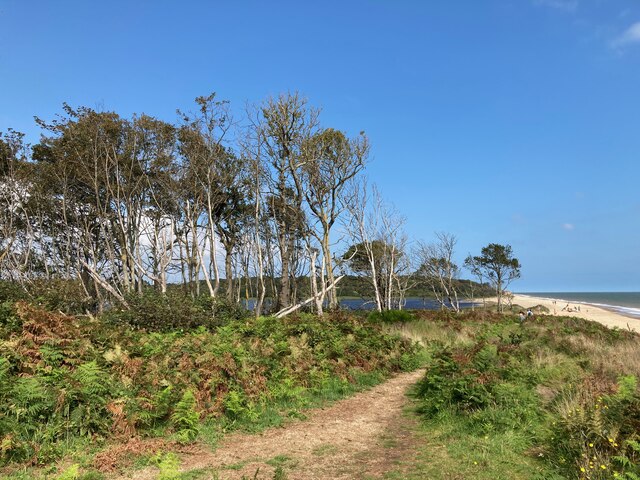
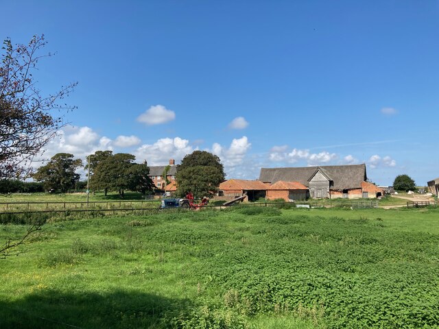
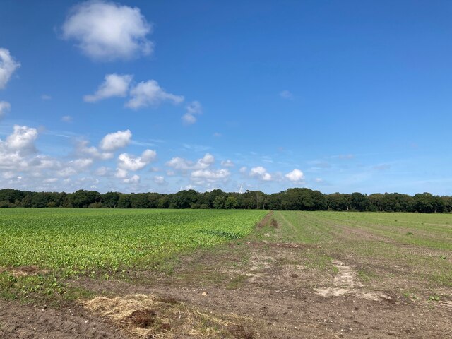
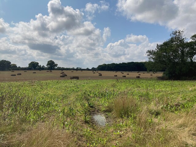
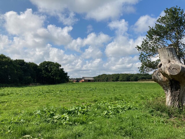
Church Covert is a picturesque woodland located in Suffolk, England. Situated in the heart of the countryside, this enchanting forest is nestled near the village of Woodbridge. Covering an area of approximately 100 acres, Church Covert is a haven for nature enthusiasts and a popular destination for both locals and tourists alike.
The woodland is characterized by its diverse range of tree species, including oak, beech, and birch. These majestic trees create a dense canopy that provides shelter for a wide variety of wildlife. Visitors can expect to encounter an array of bird species, such as woodpeckers, owls, and thrushes, as well as small mammals like squirrels and rabbits.
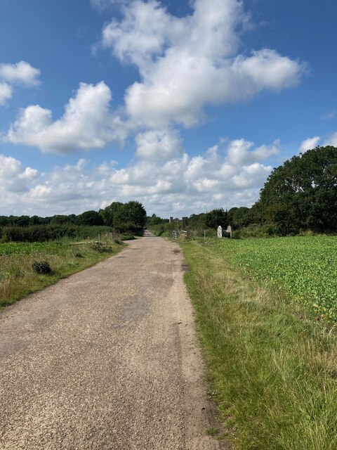
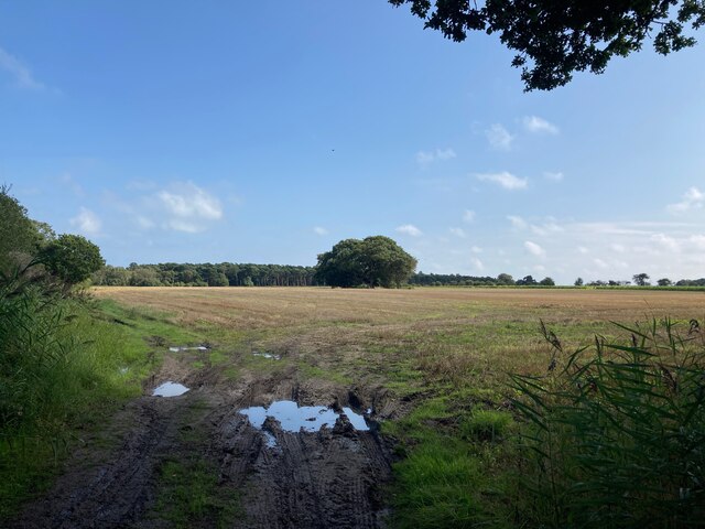
Church Covert offers a network of well-maintained footpaths that allow visitors to explore its natural beauty at their leisure. The paths wind through the forest, revealing hidden clearings and tranquil ponds along the way. The atmosphere is peaceful and serene, making it an ideal spot for those seeking a respite from the hustle and bustle of everyday life.
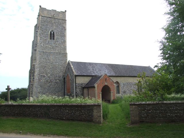
The woodland also boasts historical significance, as it is home to the ruins of an ancient church. These remains, dating back to the 12th century, add an element of intrigue and charm to the already enchanting landscape. Visitors can explore the ruins and imagine the history that unfolded within their walls.
Overall, Church Covert offers a captivating experience for nature lovers and history enthusiasts alike. With its stunning scenery, diverse wildlife, and rich historical heritage, this woodland is a true gem of Suffolk.
If you have any feedback on the listing, please let us know in the comments section below.
Church Covert Images
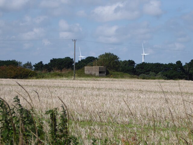
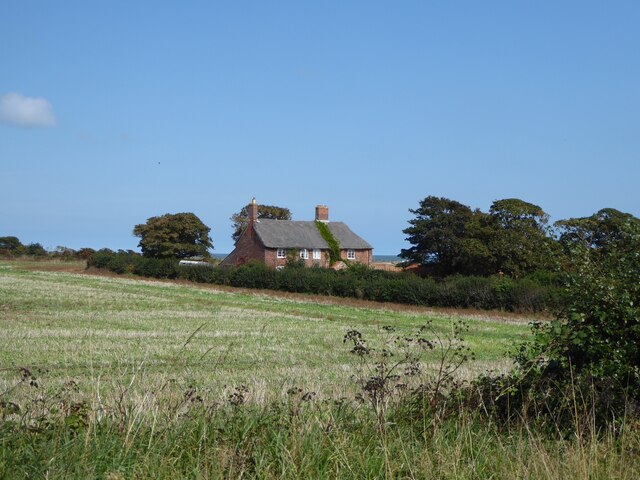
Images are sourced within 2km of 52.399426/1.7024278 or Grid Reference TM5184. Thanks to Geograph Open Source API. All images are credited.


Church Covert is located at Grid Ref: TM5184 (Lat: 52.399426, Lng: 1.7024278)
Administrative County: Suffolk
District: East Suffolk
Police Authority: Suffolk
What 3 Words
///grapevine.sugars.evening. Near Kessingland, Suffolk
Nearby Locations
Related Wikis

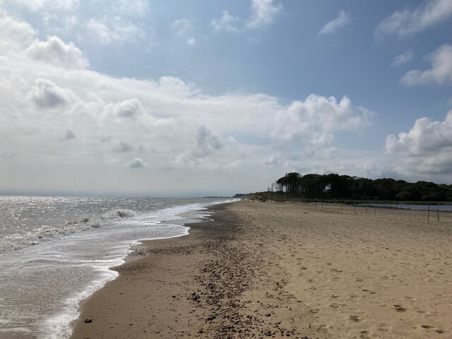
The Sunrise Coast
The Sunrise Coast is a stretch of tourist coastline in the English county of Suffolk. The area includes the seaside resort towns of Lowestoft and Southwold...
Benacre, Suffolk
Benacre is a village and civil parish in the East Suffolk district of the English county of Suffolk. The village is located about 5+3⁄4 miles (9 km) south...

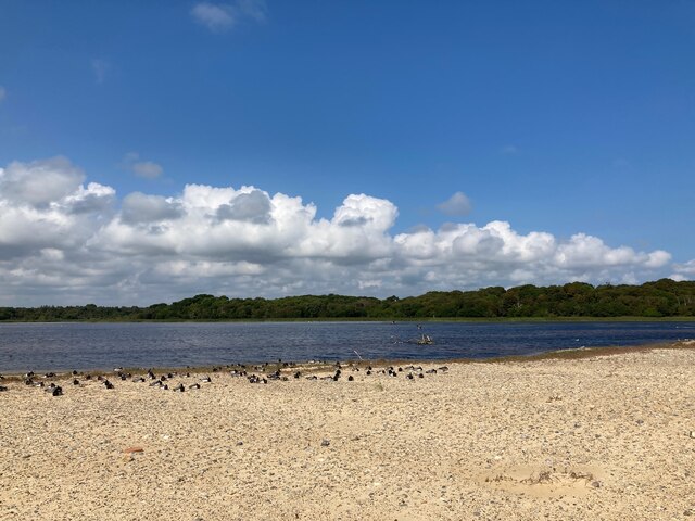
Benacre Broad
Benacre Broad is an isolated coastal lagoon on the North Sea coast of the English county of Suffolk. It is located in the parish of Benacre around 1⁄2...
Africa Alive!
Africa Alive! Zoological Reserve, formerly known as Africa Alive! and Suffolk Wildlife Park, is a zoo located in Kessingland, Suffolk, UK. It is situated...
Nearby Amenities
Located within 500m of 52.399426,1.7024278Have you been to Church Covert?
Leave your review of Church Covert below (or comments, questions and feedback).