Mosston
Settlement in Angus
Scotland
Mosston

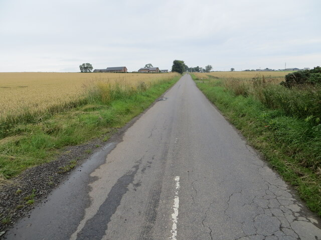
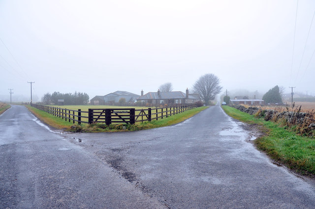
Mosston is a small village located in the Angus region of Scotland. Situated about 7 miles north of Forfar, it lies in the eastern part of the country, close to the North Sea coast. The village is nestled amidst picturesque countryside, with scenic landscapes consisting of rolling hills, meandering streams, and fertile farmland.
With a population of around 200 residents, Mosston is a close-knit community known for its peaceful and tranquil atmosphere. The village has a rich history, dating back centuries, and is home to several historic landmarks. One notable landmark is Mosston Muir, a site of historical significance where a battle was fought in 1645 during the English Civil War.
Mosston offers a range of amenities to its residents, including a local pub, community center, and a primary school. The village is well-connected to nearby towns and cities through a network of roads, making it easily accessible.
Surrounded by natural beauty, Mosston provides ample opportunities for outdoor activities such as walking, hiking, and cycling. The area is also known for its diverse wildlife, with various species of birds and small mammals inhabiting the surrounding countryside.
Overall, Mosston is a charming village that provides a peaceful and idyllic setting for its residents. With its rich history, beautiful landscapes, and strong community spirit, Mosston offers a truly unique living experience in the heart of Angus, Scotland.
If you have any feedback on the listing, please let us know in the comments section below.
Mosston Images
Images are sourced within 2km of 56.585654/-2.7505182 or Grid Reference NO5444. Thanks to Geograph Open Source API. All images are credited.


Mosston is located at Grid Ref: NO5444 (Lat: 56.585654, Lng: -2.7505182)
Unitary Authority: Angus
Police Authority: Tayside
What 3 Words
///scooters.knowledge.vase. Near Letham, Angus
Nearby Locations
Related Wikis
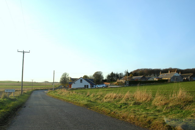
Greystone, Angus
Greystone is a hamlet in Angus, Scotland. It lies between the towns of Carnoustie and Forfar in the parish of Carmyllie. == References ==

Carmyllie
Carmyllie (Gaelic: Càrn Mhoillidh) is a rural parish in Angus, Scotland. It is situated on high ground between Arbroath, on the coast, and the inland county...

Redford, Angus
Redford is a hamlet in the parish of Carmyllie in Angus, Scotland. It is situated on high ground between Arbroath, on the coast, and the inland county...

Carmyllie railway station
Carmyllie railway station served the town of Carmyllie, Angus, Scotland from 1900 to 1965 on the Carmyllie Railway. == History == The station opened on...

Carnegie Castle
Carnegie Castle was a castle that was located in Angus, Scotland. The Carnegies owned the property between the 15th-18th century. The site of the castle...

Kirkbuddo
Kirkbuddo (Scots pronunciation: [ˌkərˈbʌdə]; Scottish Gaelic: Cair Bhuite) is a village in the county of Angus, Scotland, between the towns of Forfar and...
Denhead railway station
Denhead railway station served the area of Denhead, Angus, Scotland from 1900 to 1929 on the Carmyllie Railway. == History == The station opened on 1 February...

Kirkbuddo railway station
Kirkbuddo railway station served the village of Kirkbuddo, Angus, Scotland, from 1870 to 1955 on the Dundee and Forfar direct line. == History == The station...
Nearby Amenities
Located within 500m of 56.585654,-2.7505182Have you been to Mosston?
Leave your review of Mosston below (or comments, questions and feedback).