Carmyllie Moor
Downs, Moorland in Angus
Scotland
Carmyllie Moor

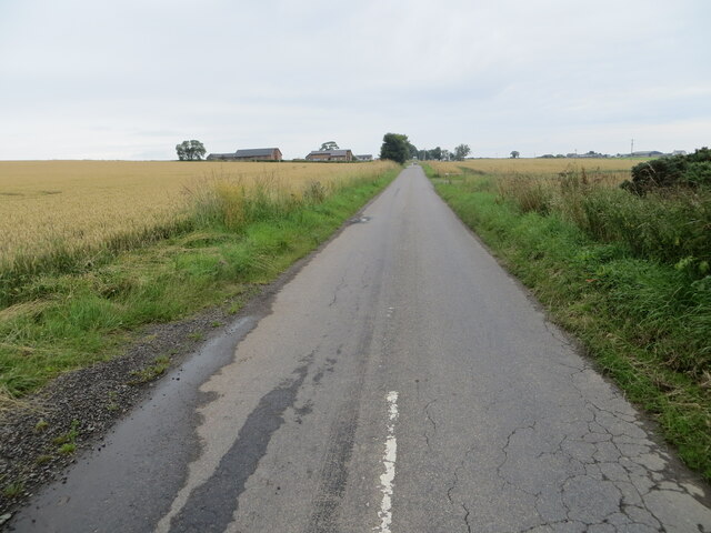
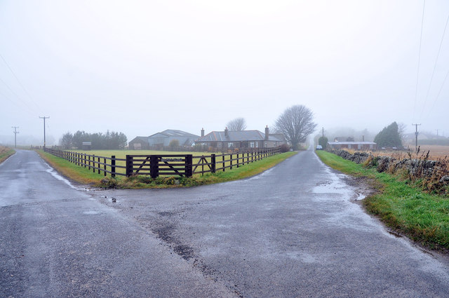
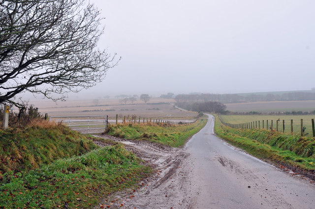
Carmyllie Moor, located in the Angus region of Scotland, is a picturesque and expansive area of downs and moorland. Stretching across approximately 2,000 acres, this natural landscape boasts a unique blend of rolling hills, heather-covered moors, and open grasslands.
The moorland of Carmyllie is a haven for wildlife enthusiasts, offering a diverse range of flora and fauna to explore and discover. The area is particularly renowned for its birdlife, with species such as curlews, lapwings, and golden plovers commonly sighted. The open grasslands provide ideal nesting sites for these birds, making it a popular destination for birdwatchers.
The moorland is also home to a variety of other wildlife, including hares, rabbits, and deer. Visitors may catch a glimpse of these animals as they traverse the downs or disappear into the heather-covered hillsides.
The rugged beauty of Carmyllie Moor makes it an ideal location for outdoor activities such as hiking and photography. The undulating terrain offers stunning vistas, with panoramic views of the surrounding countryside. The moorland is intersected by several footpaths and trails, providing opportunities for both leisurely strolls and more challenging hikes.
Carmyllie Moor is not only a natural treasure but also an important cultural and historical site. The area is dotted with ancient burial cairns and standing stones, offering a glimpse into the region's rich past. These historical landmarks add an extra layer of intrigue to the already captivating landscape.
Overall, Carmyllie Moor in Angus is a captivating destination for nature lovers, hikers, and history enthusiasts alike. Its unique blend of downs, moorland, and cultural heritage make it a must-visit location in Scotland.
If you have any feedback on the listing, please let us know in the comments section below.
Carmyllie Moor Images
Images are sourced within 2km of 56.588398/-2.7424641 or Grid Reference NO5444. Thanks to Geograph Open Source API. All images are credited.


Carmyllie Moor is located at Grid Ref: NO5444 (Lat: 56.588398, Lng: -2.7424641)
Unitary Authority: Angus
Police Authority: Tayside
What 3 Words
///hype.scoots.crusaders. Near Letham, Angus
Nearby Locations
Related Wikis
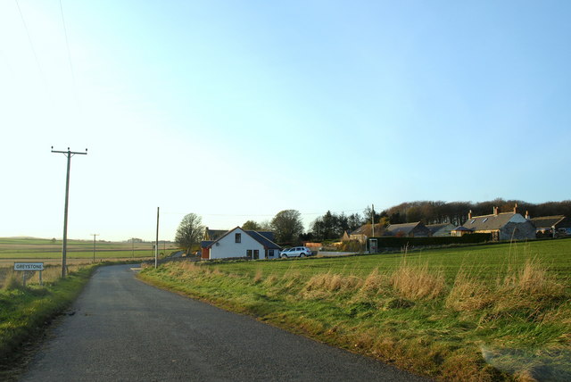
Greystone, Angus
Greystone is a hamlet in Angus, Scotland. It lies between the towns of Carnoustie and Forfar in the parish of Carmyllie. == References ==

Redford, Angus
Redford is a hamlet in the parish of Carmyllie in Angus, Scotland. It is situated on high ground between Arbroath, on the coast, and the inland county...

Carmyllie railway station
Carmyllie railway station served the town of Carmyllie, Angus, Scotland from 1900 to 1965 on the Carmyllie Railway. == History == The station opened on...

Carmyllie
Carmyllie (Gaelic: Càrn Mhoillidh) is a rural parish in Angus, Scotland. It is situated on high ground between Arbroath, on the coast, and the inland county...
Nearby Amenities
Located within 500m of 56.588398,-2.7424641Have you been to Carmyllie Moor?
Leave your review of Carmyllie Moor below (or comments, questions and feedback).