Moss Houses

Settlement in Cheshire

England

Moss Houses

View towards Croker Hill from path W of Mount Farm, Gawsworth
View towards Croker Hill from path W of Mount Farm, Gawsworth Credit: Colin Park

Moss Houses is a picturesque village located in the county of Cheshire, England. Situated in the northwest of the country, Moss Houses benefits from its proximity to both rural landscapes and urban amenities. The village is positioned just a few miles south of the bustling town of Knutsford, offering residents a convenient range of shops, restaurants, and entertainment options.

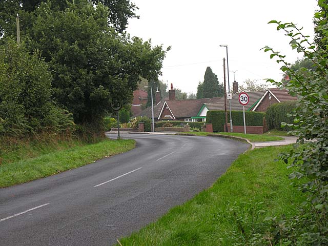
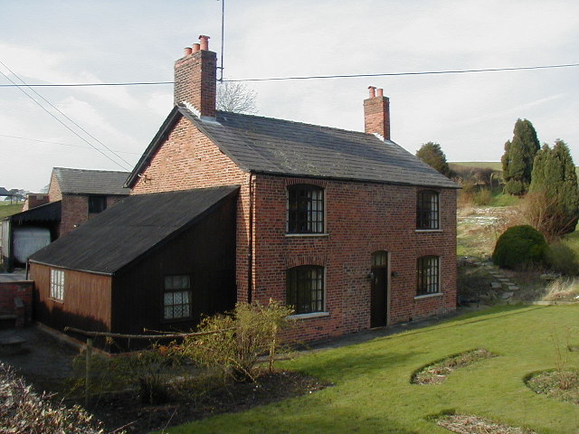
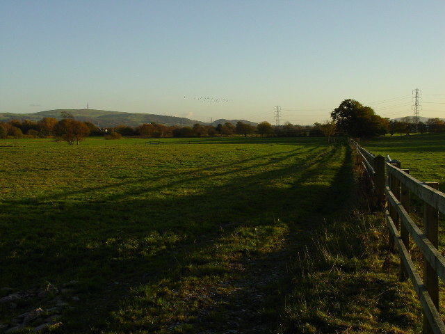
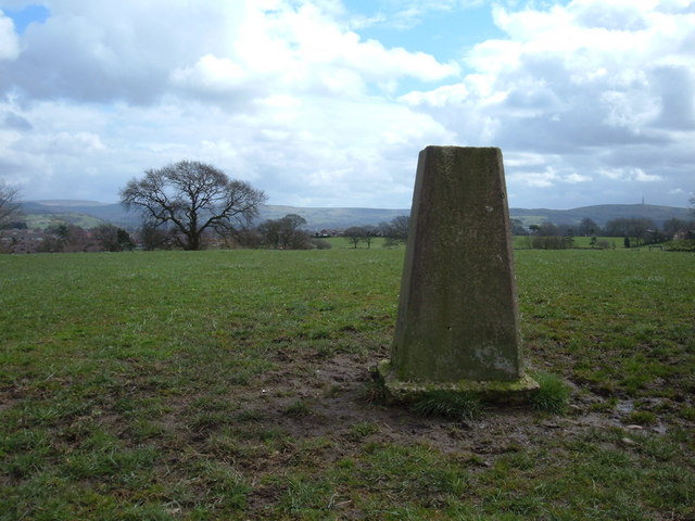
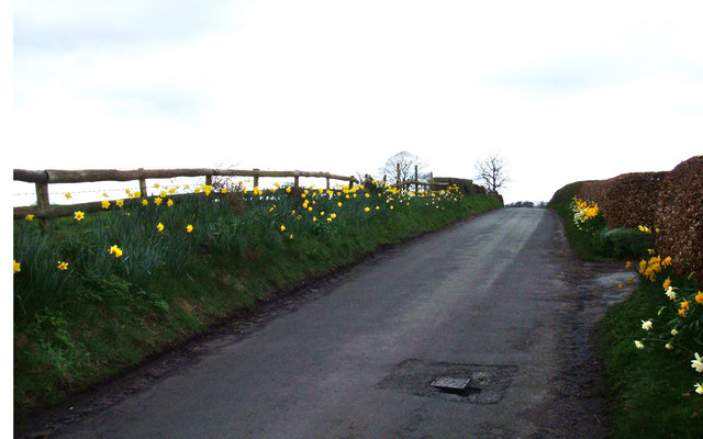
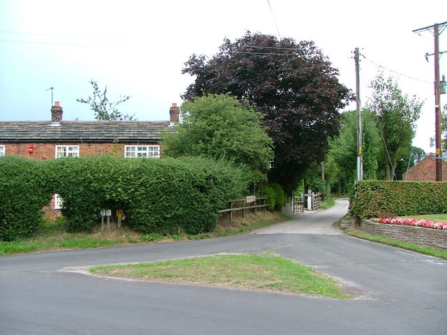
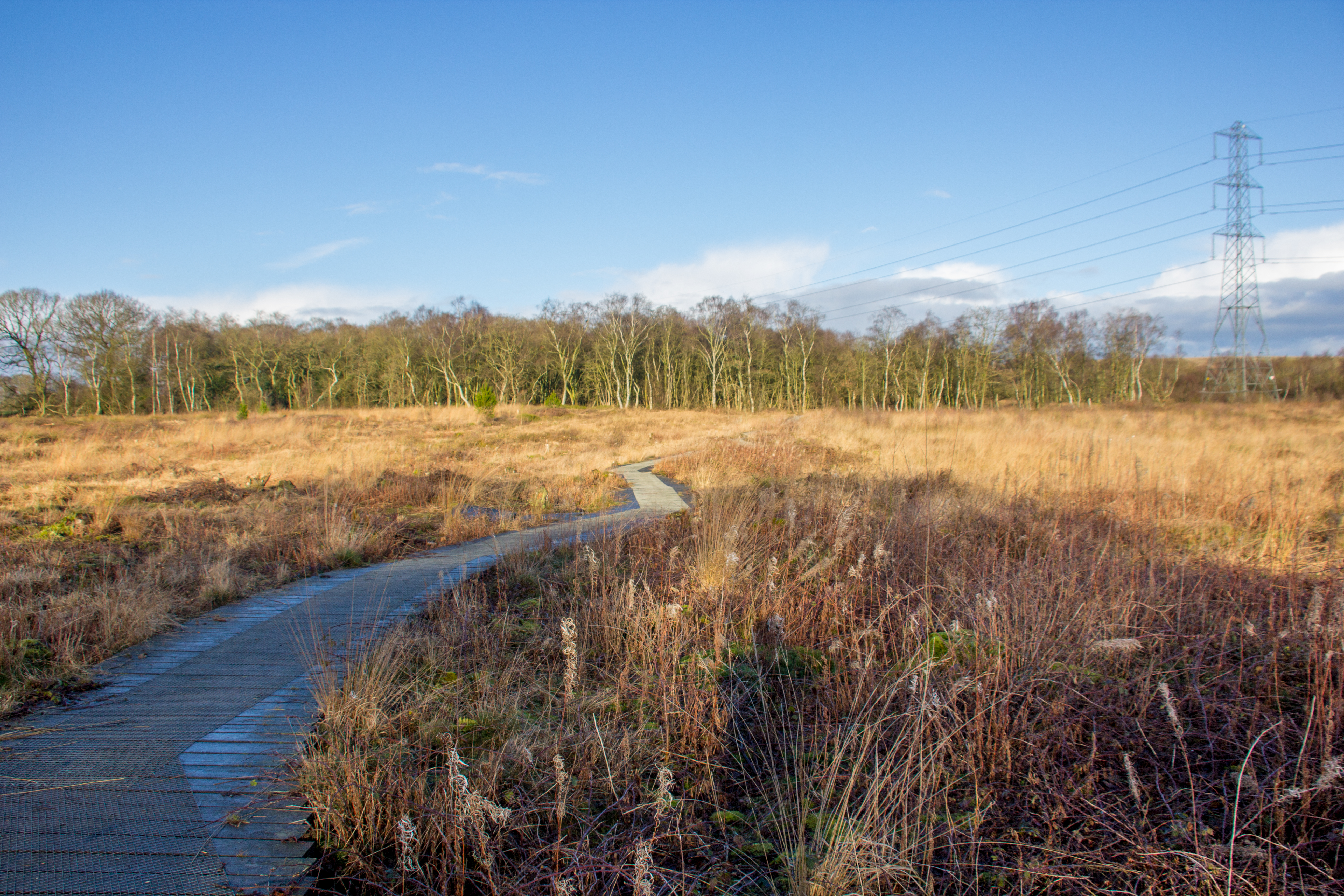
Nestled amidst lush green fields and rolling hills, Moss Houses is renowned for its stunning natural beauty. The village is surrounded by picturesque countryside, making it an ideal location for those seeking a tranquil and idyllic setting. The area is dotted with charming cottages and traditional farmhouses, adding to its rural charm.

Moss Houses boasts a close-knit community where residents enjoy a friendly and welcoming atmosphere. The village is home to a range of amenities, including a local pub, a community center, and a primary school, making it an attractive destination for families.

For those who enjoy outdoor activities, Moss Houses offers an abundance of opportunities. The nearby Tatton Park, a historic estate spanning over 1,000 acres, is a popular destination for walking, cycling, and picnicking. Additionally, the village benefits from excellent transport links, with easy access to major roads and nearby train stations.

In summary, Moss Houses in Cheshire is a quaint and charming village, offering residents a peaceful and picturesque environment, a strong sense of community, and easy access to both rural beauty and urban conveniences.

If you have any feedback on the listing, please let us know in the comments section below.
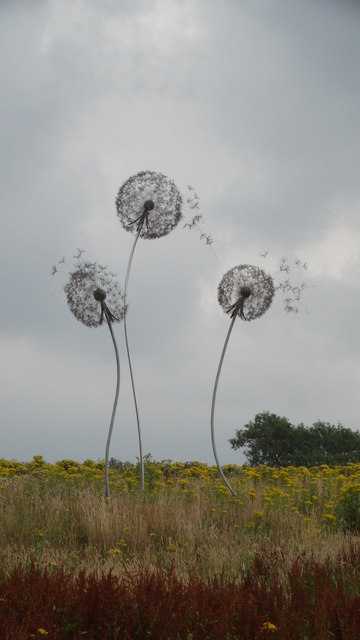
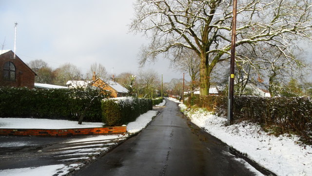
Moss Houses Images

Images are sourced within 2km of 53.233037/-2.158471 or Grid Reference SJ8970. Thanks to Geograph Open Source API. All images are credited.

View towards Croker Hill from path W of Mount Farm, Gawsworth
Gawsworth Road Looking towards Broken Cross.
Gawsworth Road
Looking towards Broken Cross.
Lane Ends Farm, Gawsworth
Looking north towards Underbank Farm Taken from Dark Lane
Looking north towards Underbank Farm
Taken from Dark Lane
View south from Pennington's Lane near Macclesfield View of farmland south of Pennington's Lane near Macclesfield. The hill with the tower on is Croker Hill.
View south from Pennington's Lane near Macclesfield
View of farmland south of Pennington's Lane near Macclesfield. The hill with the tower on is Croker Hill.
New Farm Trig pillar, 183m Sits on top of a neat hillock on the outskirts of Macclesfield with big views to the Cheshire/Derbyshire hills in the east.
New Farm Trig pillar, 183m
Sits on top of a neat hillock on the outskirts of Macclesfield with big views to the Cheshire/Derbyshire hills in the east.
Marton Lane, Walkersheath View looking west. The turning on the right leads to Old Parks Farm.
Marton Lane, Walkersheath
View looking west. The turning on the right leads to Old Parks Farm.
Moss Houses A hamlet in Gawsworth parish.
Moss Houses
A hamlet in Gawsworth parish.
Signs in Moss Houses
Fingerpost at Nancy's Wood Cheshire County Council cast iron post with annulus finial.
Fingerpost at Nancy's Wood
Cheshire County Council cast iron post with annulus finial.
Wardle Crescent, Gawsworth Despite the name, the road is straight, although there is a slight curve to the row of former council houses. The road forms part of Sustrans route 55. Properly, this part of the village is Warren, Gawsworth proper consisting of the small number of buildings round the Hall and church.
Wardle Crescent, Gawsworth
Despite the name, the road is straight, although there is a slight curve to the row of former council houses. The road forms part of Sustrans route 55. Properly, this part of the village is Warren, Gawsworth proper consisting of the small number of buildings round the Hall and church.
Nancy's Wood, Gawsworth A small area of woodland with the Ben Brook running through it, taken in hand by the parish council as recreation woodland. Stepping stones and a basic footbridge add interest to the walks.
Nancy's Wood, Gawsworth
A small area of woodland with the Ben Brook running through it, taken in hand by the parish council as recreation woodland. Stepping stones and a basic footbridge add interest to the walks.
Direction signs at the Congleton Road junction with Magoty Lane
Old Milepost by the A536, Congleton Road, Macclesfield Cast iron post by the A536, in parish of Gawsworth (Macclesfield District), near Danes Moss Farm entrance, on the verge back to metal railings, on South East side of road. Cast iron CCC1896, erected by the County Council in the 19th century. 

Inscription reads:-
: CONGLETON / 6 MILES : : CHESHIRE / 1896 / COUNTY COUNCIL : : MACCLESFIELD / 2 MILES :
Maker:-
: W H SMITH & CO / MAKERS / WHITCHURCH : 

Milestone Society National ID: CH_COMF06
Old Milepost by the A536, Congleton Road, Macclesfield
Cast iron post by the A536, in parish of Gawsworth (Macclesfield District), near Danes Moss Farm entrance, on the verge back to metal railings, on South East side of road. Cast iron CCC1896, erected by the County Council in the 19th century. Inscription reads:- : CONGLETON / 6 MILES : : CHESHIRE / 1896 / COUNTY COUNCIL : : MACCLESFIELD / 2 MILES : Maker:- : W H SMITH & CO / MAKERS / WHITCHURCH : Milestone Society National ID: CH_COMF06
Modern sculpture, Underbank Farm near Gawsworth
Field path running N from Marton Ln, Gawsworth
Old Direction Sign - Signpost by Church Lane, Gawsworth Annulus finial - 4 arms; Cheshire CC halo in parish of Gawsworth (Macclesfield District), Maggoty Lane junction with Church Lane.

To be surveyed

Milestone Society National ID: CH_SJ8870A
Old Direction Sign - Signpost by Church Lane, Gawsworth
Annulus finial - 4 arms; Cheshire CC halo in parish of Gawsworth (Macclesfield District), Maggoty Lane junction with Church Lane. To be surveyed Milestone Society National ID: CH_SJ8870A
Winter's day, Lowes Lane, Mosshouses, Gawsworth
Show me another place!

Moss Houses is located at Grid Ref: SJ8970 (Lat: 53.233037, Lng: -2.158471)

Unitary Authority: Cheshire East

Police Authority: Cheshire

What 3 Words

///hugs.overnight.desire. Near Macclesfield, Cheshire

Nearby Locations

Moss Houses

Related Wikis

Warren, Cheshire

Warren is the traditional name for the largest settlement in the civil parish of Gawsworth in Cheshire, England. It is situated just to the north west...
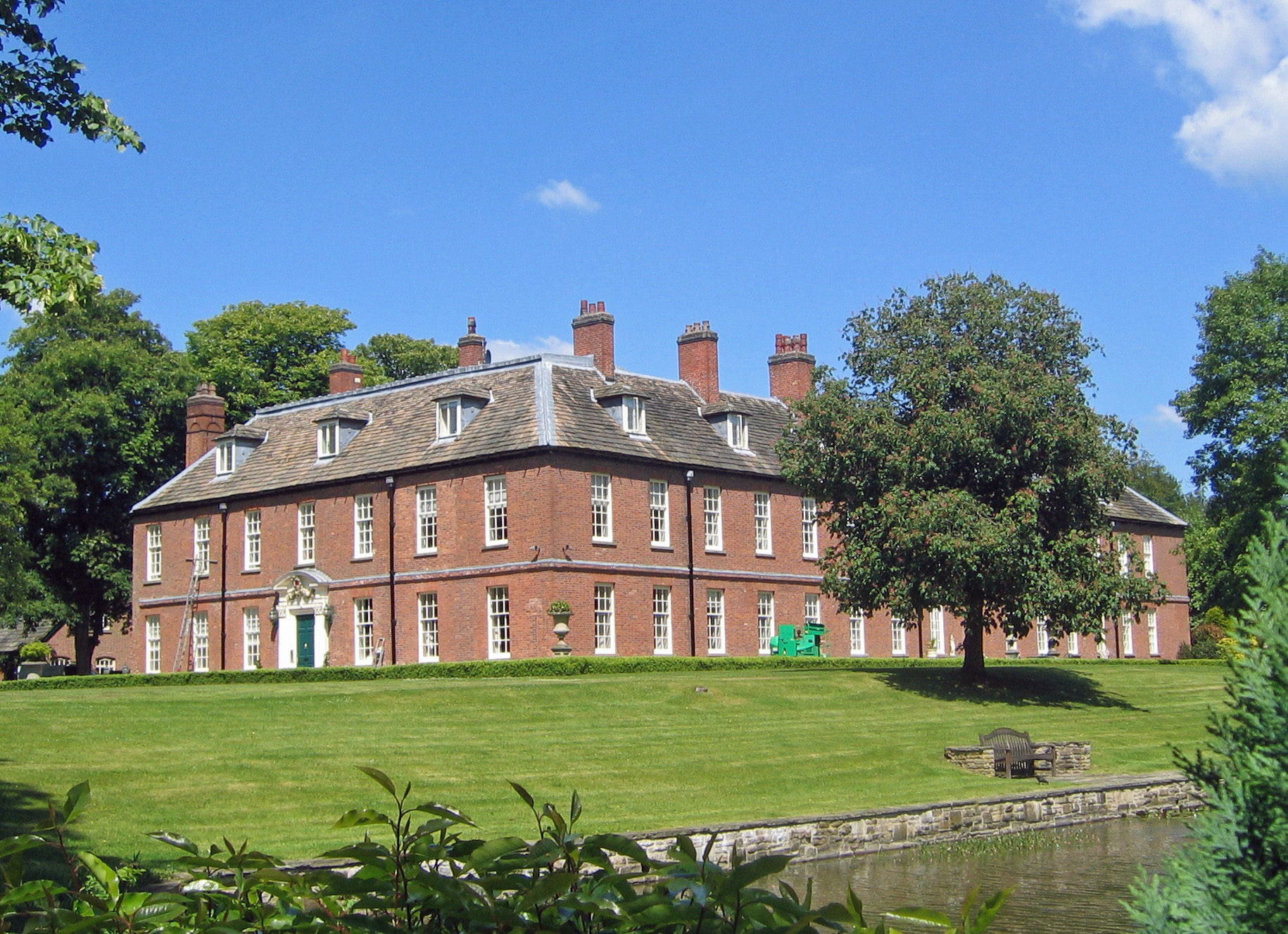
Gawsworth New Hall

Gawsworth New Hall is a country house in the village of Gawsworth, Cheshire, England. It is recorded in the National Heritage List for England as a designated...

Gawsworth Old Rectory

Gawsworth Old Rectory is a medieval house in the village of Gawsworth, Cheshire, England. It is known for the rare survival of its "open hall" and the...
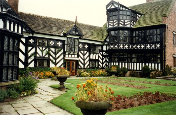
Gawsworth Old Hall

Gawsworth Old Hall is a Grade I listed country house in the village of Gawsworth, Cheshire, England. It is a timber-framed house in the Cheshire black...

St James' Church, Gawsworth

St James' Church is in the village of Gawsworth, Cheshire, England, and is sited near Gawsworth Hall. It is recorded in the National Heritage List for...

Danes Moss Nature Reserve

Danes Moss Nature Reserve is a 13.4-hectare (33-acre) nature reserve south of Macclesfield, Cheshire, England. A Site of Special Scientific Interest, it...

Harrington Arms, Gawsworth

The Harrington Arms is in Church Lane, Gawsworth, Cheshire, England, and is recorded in the National Heritage List for England as a designated Grade II...

Gawsworth

Gawsworth is a civil parish and village in the unitary authority of Cheshire East and the ceremonial county of Cheshire, England. The population of the...

Nearby Amenities

Located within 500m of 53.233037,-2.158471
Post Box
Collection Times: Mo-Fr 09:00
Postal Code: SK11
Ref: SK11 176
Royal Cypher: EIIR
Royal Cypher Wikidata: Q33102113
Lat/Long: 53.236122/-2.1592843
Bus Stop
Gawsworth, Congleton Road / Lowes Farm
Bus: yes
Naptan AtcoCode: 0600MA0355
Naptan Bearing: NE
Naptan CommonName: Lowes Farm
Naptan Indicator: o/s
Naptan Landmark: Lowes Farm
Naptan LocalityName: Gawsworth
Naptan NaptanCode: chemtwa
Naptan ShortCommonName: Lowes Farm
Naptan Street: Congleton Road
Naptan Verified: no
Network: Cheshire East Council
Operator: Ansa Transport
Public Transport: platform
Source: naptan_import
Lat/Long: 53.234937/-2.163067
Bus Stop
Gawsworth, Congleton Road / Lowes Lane
Bench: no
Bin: no
Bus: yes
Lit: no
Naptan AtcoCode: 0600MA0356
Naptan Bearing: SW
Naptan CommonName: Lowes Lane
Naptan Crossing: Lowes Lane
Naptan Indicator: cnr
Naptan Landmark: Omega House
Naptan LocalityName: Gawsworth
Naptan NaptanCode: chemtwd
Naptan ShortCommonName: Lowes Lane
Naptan Street: Congleton Road
Naptan Verified: no
Network: Cheshire East Council
Operator: Ansa Transport
Public Transport: platform
Shelter: no
Source: naptan_import
Tactile Paving: no
Lat/Long: 53.235935/-2.15964
Bus Stop
Gawsworth, Congleton Road / Lowes Lane
Bus: yes
Naptan AtcoCode: 0600MA0357
Naptan Bearing: NE
Naptan CommonName: Lowes Lane
Naptan Crossing: Lowes Lane
Naptan Indicator: opp
Naptan Landmark: Omega
Naptan LocalityName: Gawsworth
Naptan NaptanCode: chemtwg
Naptan ShortCommonName: Lowes Lane
Naptan Street: Congleton Road
Naptan Verified: no
Network: Cheshire East Council
Operator: Ansa Transport
Public Transport: platform
Source: naptan_import
Lat/Long: 53.2367859/-2.1585492
Newholme Farm
Place: farm
Lat/Long: 53.2335837/-2.1517049
The data included in this document is from www.openstreetmap.org. The data is made available under ODbL.

Have you been to Moss Houses?

Leave your review of Moss Houses below (or comments, questions and feedback).