Belton
Settlement in Suffolk Great Yarmouth
England
Belton

Belton is a small village located in the county of Suffolk, England. Situated approximately 4 miles west of the town of Great Yarmouth, Belton is positioned amidst picturesque countryside, offering its residents and visitors a serene environment to enjoy.
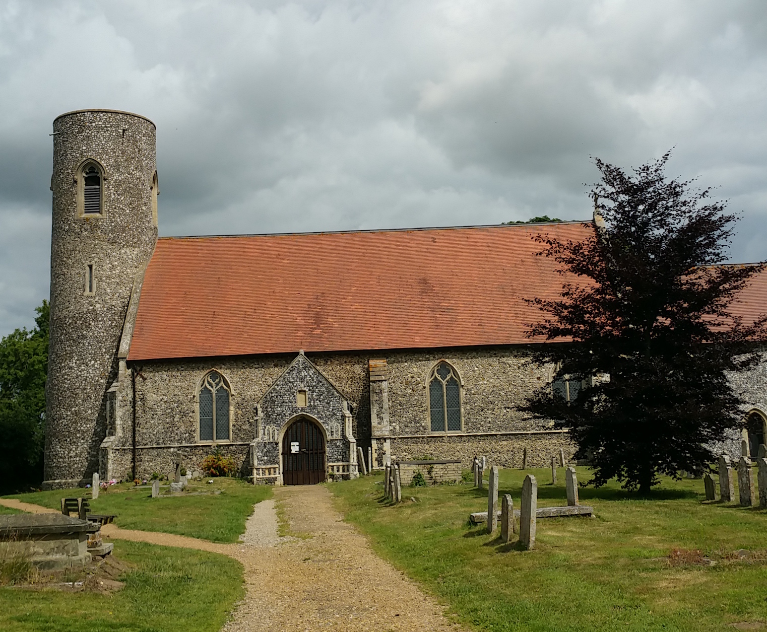
The village has a rich historical background, with its origins dating back to medieval times. Many historic buildings can be found within Belton, including the beautiful parish church of St. Peter and St. John. This stunning church, constructed in the 14th century, features impressive stained glass windows and intricate architectural details.
Belton is a tight-knit community with a population of around 2,000 residents. The village boasts a range of local amenities and services, including a primary school, a post office, and a pub. Additionally, there are several community groups and organizations that contribute to the vibrant social life of Belton, such as sports clubs and art societies.
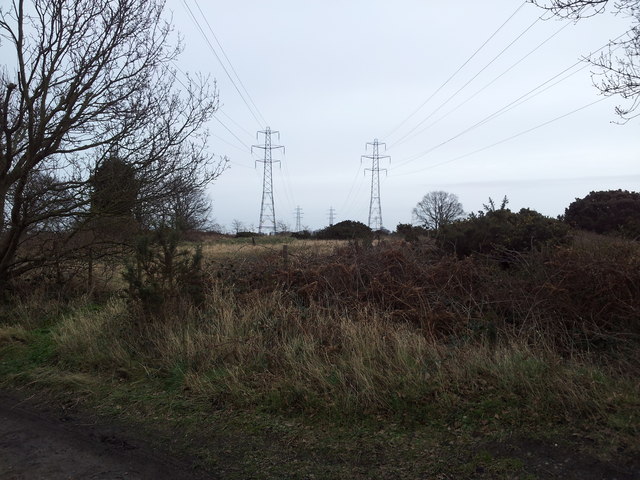
Nature enthusiasts will find plenty to explore in the surrounding area. Belton is situated close to the Norfolk Broads, a renowned network of rivers and lakes that offers opportunities for boating, fishing, and birdwatching. The nearby coastline provides access to beautiful sandy beaches, perfect for long walks or picnics.
Transportation in Belton is convenient, with good road links to neighboring towns and cities. The village is connected to Great Yarmouth and the wider region via regular bus services, making it easy for residents to access additional amenities and employment opportunities.
In summary, Belton is a charming village in Suffolk that combines historical charm with a peaceful countryside setting. With its strong community spirit and natural beauty, it offers a delightful place to live or visit.
If you have any feedback on the listing, please let us know in the comments section below.
Belton Images
Images are sourced within 2km of 52.564737/1.657816 or Grid Reference TG4702. Thanks to Geograph Open Source API. All images are credited.


Belton is located at Grid Ref: TG4702 (Lat: 52.564737, Lng: 1.657816)
Administrative County: Norfolk
District: Great Yarmouth
Police Authority: Norfolk
What 3 Words
///credible.extension.octopus. Near Bradwell, Norfolk
Nearby Locations
Related Wikis
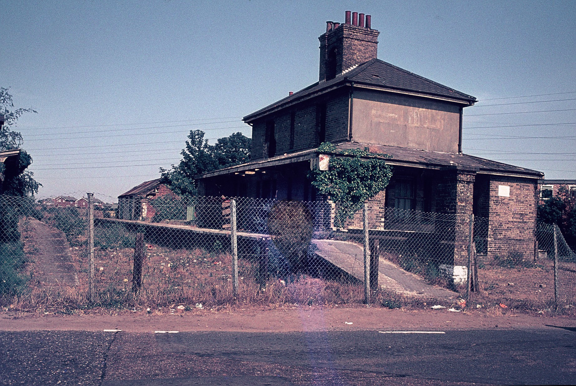
Belton and Burgh railway station
Belton & Burgh (originally Belton) was a railway station serving the Norfolk villages of Belton and Burgh Castle. It once saw trains on the main line from...
Belton with Browston
Belton with Browston is a civil parish in the English county of Norfolk. Historically part of Suffolk, the parish consists of the villages of Belton and...
Gariannonum
Gariannonum, or Gariannum, was a Roman Saxon Shore fort in Norfolk, England. The Notitia Dignitatum, a Roman Army "order of battle" from about AD 400,...

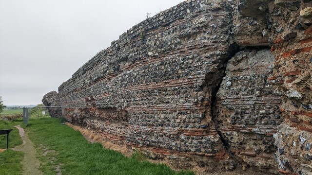
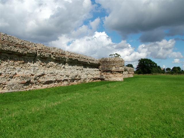
Burgh Castle (Roman fortification)
Burgh Castle is the site of one of nine Roman Saxon Shore forts constructed in England around the 3rd century AD, to hold troops as a defence against Saxon...
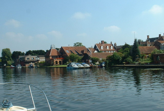
River Waveney
The River Waveney is a river which forms the boundary between Suffolk and Norfolk, England, for much of its length within The Broads. The "ey" part of...

Burgh Castle
Burgh Castle is a village and civil parish in the English county of Norfolk. It is situated on the east bank of the River Waveney, some 3.7 miles (6.0...

Fritton Lake
Fritton Lake or Fritton Decoy is a lake on the border of the English counties of Norfolk and Suffolk close to the towns of Lowestoft and Great Yarmouth...

Bradwell, Norfolk
Bradwell is a village and civil parish in the English county of Norfolk. The village is immediately to the west of, and largely indistinguishable from...
Nearby Amenities
Located within 500m of 52.564737,1.657816Have you been to Belton?
Leave your review of Belton below (or comments, questions and feedback).