Morley Green

Settlement in Cheshire

England

Morley Green

Lindow Common sign Lindow Common is a Site of Special Scientific Interest (SSSI citation <span class="nowrap"><a title="http://www.sssi.naturalengland.org.uk/citation/citation_photo/1002734.pdf" rel="nofollow ugc noopener" href="http://www.sssi.naturalengland.org.uk/citation/citation_photo/1002734.pdf">Link</a><img style="margin-left:2px;" alt="External link" title="External link - shift click to open in new window" src="https://s1.geograph.org.uk/img/external.png" width="10" height="10"/></span>  ) on the western edge of Wilmslow, it is also designated a Local Nature Reserve (<span class="nowrap"><a title="http://www.lnr.naturalengland.org.uk/Special/lnr/lnr_details.asp?C=0&N=lindow&ID=264" rel="nofollow ugc noopener" href="http://www.lnr.naturalengland.org.uk/Special/lnr/lnr_details.asp?C=0&N=lindow&ID=264">Link</a><img style="margin-left:2px;" alt="External link" title="External link - shift click to open in new window" src="https://s1.geograph.org.uk/img/external.png" width="10" height="10"/></span>  Natural England)

The Common was once an area of heathland, where villagers could graze their cattle, but birch trees have overrun many areas, so that much of the Common is now under tree cover.

It is believed that this is the name Lindow which is also used for one of the historic parishes of Wilmslow and the adjacent Lindow Moss, is derived from Black Lake which lies in the middle of Lindow Common. The Welsh for Black Lake is llyn ddu.

Lindow Common is now managed by Cheshire East Council.

(adapted from <span class="nowrap"><a title="http://en.wikipedia.org/wiki/Lindow_Common" rel="nofollow ugc noopener" href="http://en.wikipedia.org/wiki/Lindow_Common">Link</a><img style="margin-left:2px;" alt="External link" title="External link - shift click to open in new window" src="https://s1.geograph.org.uk/img/external.png" width="10" height="10"/></span>  Wikipedia)
Lindow Common sign Credit: Bob Harvey

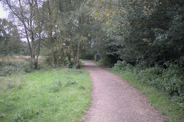
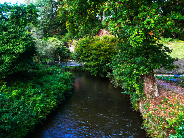
Morley Green is a small village located in the county of Cheshire, England. Situated approximately 12 miles south of Manchester, it falls within the civil parish of Wilmslow. The village is surrounded by picturesque countryside, offering a peaceful and idyllic setting for residents and visitors alike.

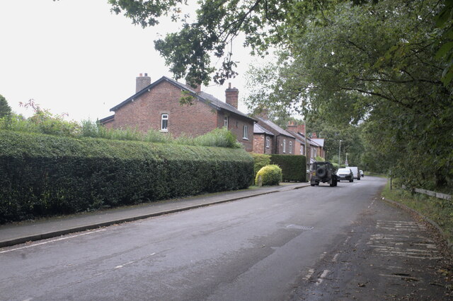
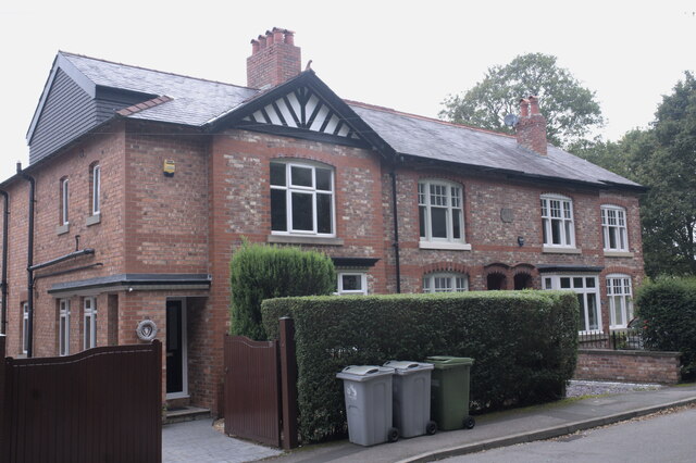
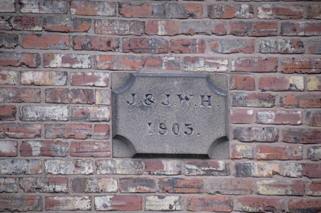
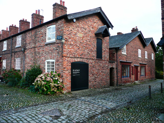
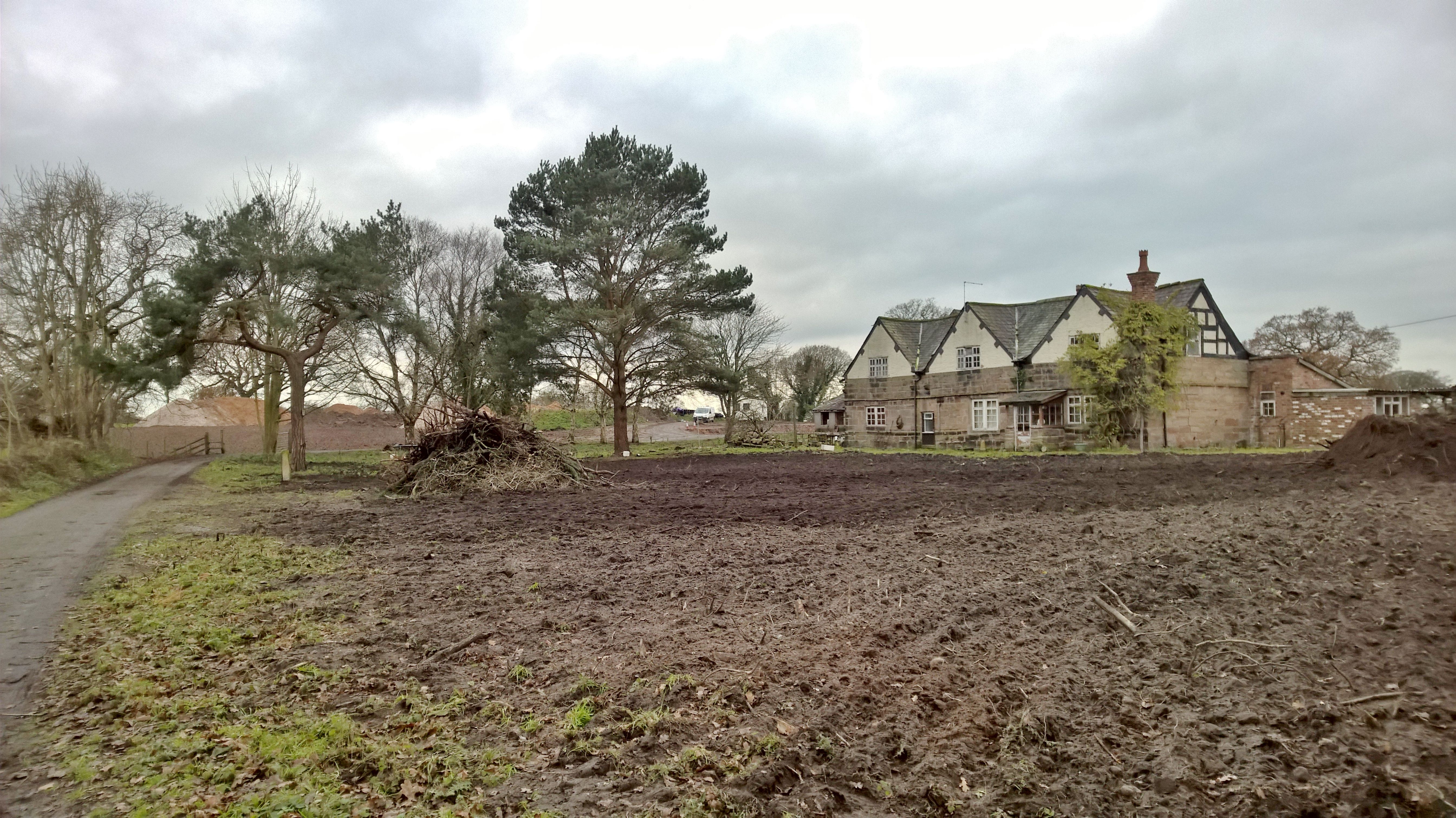
Morley Green is known for its quaint and charming atmosphere, with a close-knit community that takes pride in maintaining the village's rural character. The architecture in the area predominantly consists of traditional brick and timber-framed buildings, adding to the village's charm.

Despite its small size, Morley Green boasts several amenities to cater to the needs of its residents. These include a local pub, a primary school, and a village hall that serves as a social hub for various community events and activities.

The village is also conveniently located near larger towns and cities, with excellent transportation links. The nearby town of Wilmslow offers a wider range of amenities, including shopping centers, restaurants, and leisure facilities.

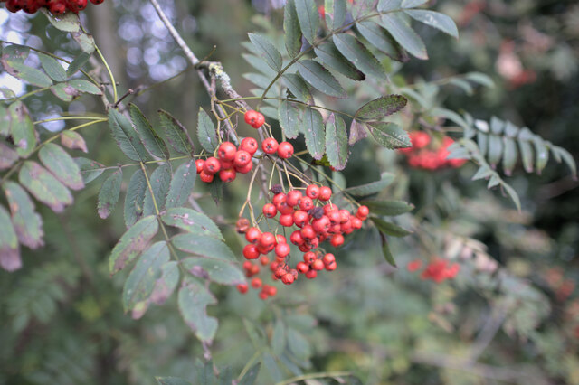
Morley Green benefits from its proximity to the Peak District National Park, offering residents and visitors the opportunity to explore the stunning natural beauty of the area. Outdoor activities such as hiking, cycling, and horse riding are popular among locals.

Overall, Morley Green is a charming village that offers a peaceful and picturesque setting, with a strong sense of community and easy access to both urban amenities and natural attractions.

If you have any feedback on the listing, please let us know in the comments section below.
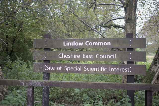
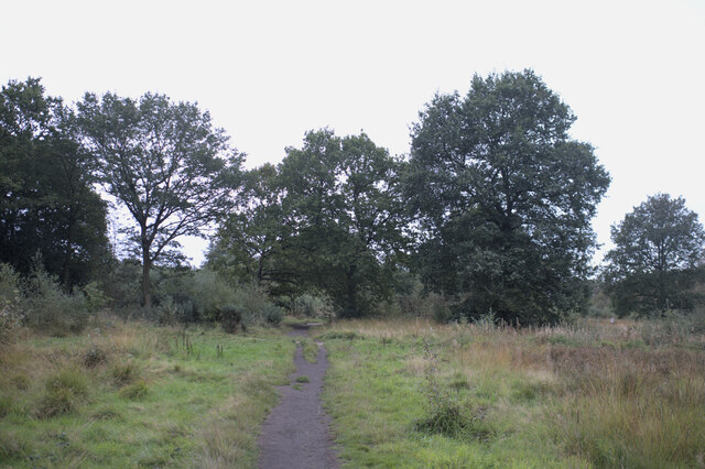
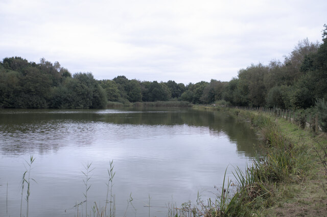
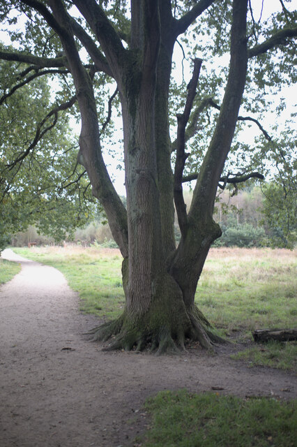
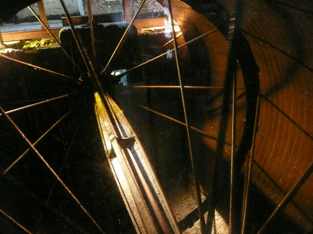
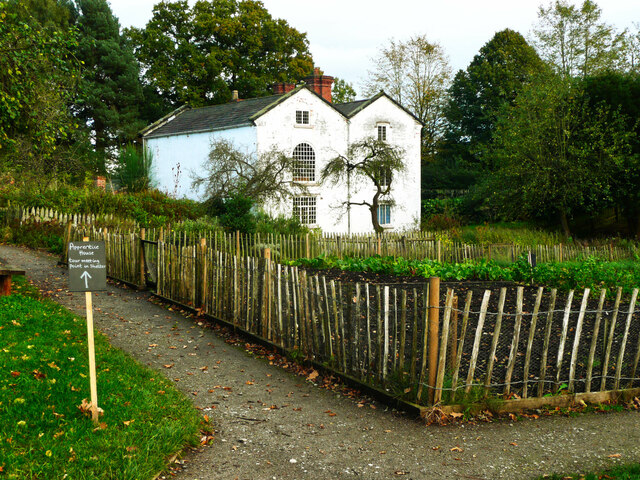
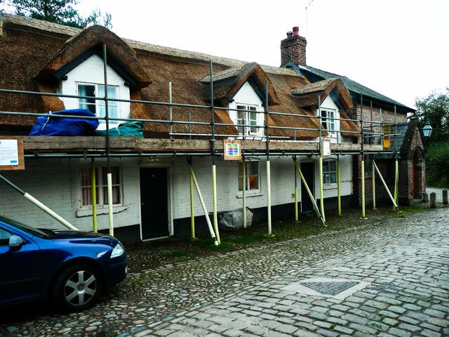
Morley Green Images

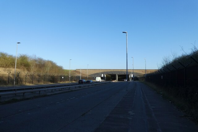
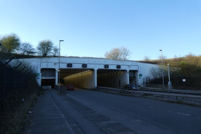
Images are sourced within 2km of 53.33586/-2.265326 or Grid Reference SJ8282. Thanks to Geograph Open Source API. All images are credited.

Lindow Common sign Lindow Common is a Site of Special Scientific Interest (SSSI citation <span class="nowrap"><a title="http://www.sssi.naturalengland.org.uk/citation/citation_photo/1002734.pdf" rel="nofollow ugc noopener" href="http://www.sssi.naturalengland.org.uk/citation/citation_photo/1002734.pdf">Link</a><img style="margin-left:2px;" alt="External link" title="External link - shift click to open in new window" src="https://s1.geograph.org.uk/img/external.png" width="10" height="10"/></span>  ) on the western edge of Wilmslow, it is also designated a Local Nature Reserve (<span class="nowrap"><a title="http://www.lnr.naturalengland.org.uk/Special/lnr/lnr_details.asp?C=0&N=lindow&ID=264" rel="nofollow ugc noopener" href="http://www.lnr.naturalengland.org.uk/Special/lnr/lnr_details.asp?C=0&N=lindow&ID=264">Link</a><img style="margin-left:2px;" alt="External link" title="External link - shift click to open in new window" src="https://s1.geograph.org.uk/img/external.png" width="10" height="10"/></span>  Natural England)

The Common was once an area of heathland, where villagers could graze their cattle, but birch trees have overrun many areas, so that much of the Common is now under tree cover.

It is believed that this is the name Lindow which is also used for one of the historic parishes of Wilmslow and the adjacent Lindow Moss, is derived from Black Lake which lies in the middle of Lindow Common. The Welsh for Black Lake is llyn ddu.

Lindow Common is now managed by Cheshire East Council.

(adapted from <span class="nowrap"><a title="http://en.wikipedia.org/wiki/Lindow_Common" rel="nofollow ugc noopener" href="http://en.wikipedia.org/wiki/Lindow_Common">Link</a><img style="margin-left:2px;" alt="External link" title="External link - shift click to open in new window" src="https://s1.geograph.org.uk/img/external.png" width="10" height="10"/></span>  Wikipedia)
Lindow Common sign
Lindow Common is a Site of Special Scientific Interest (SSSI citation LinkExternal link ) on the western edge of Wilmslow, it is also designated a Local Nature Reserve (LinkExternal link Natural England) The Common was once an area of heathland, where villagers could graze their cattle, but birch trees have overrun many areas, so that much of the Common is now under tree cover. It is believed that this is the name Lindow which is also used for one of the historic parishes of Wilmslow and the adjacent Lindow Moss, is derived from Black Lake which lies in the middle of Lindow Common. The Welsh for Black Lake is llyn ddu. Lindow Common is now managed by Cheshire East Council. (adapted from LinkExternal link Wikipedia)
On Lindow Common Lindow Common is a Site of Special Scientific Interest (SSSI citation <span class="nowrap"><a title="http://www.sssi.naturalengland.org.uk/citation/citation_photo/1002734.pdf" rel="nofollow ugc noopener" href="http://www.sssi.naturalengland.org.uk/citation/citation_photo/1002734.pdf">Link</a><img style="margin-left:2px;" alt="External link" title="External link - shift click to open in new window" src="https://s1.geograph.org.uk/img/external.png" width="10" height="10"/></span>  ) on the western edge of Wilmslow, it is also designated a Local Nature Reserve (<span class="nowrap"><a title="http://www.lnr.naturalengland.org.uk/Special/lnr/lnr_details.asp?C=0&N=lindow&ID=264" rel="nofollow ugc noopener" href="http://www.lnr.naturalengland.org.uk/Special/lnr/lnr_details.asp?C=0&N=lindow&ID=264">Link</a><img style="margin-left:2px;" alt="External link" title="External link - shift click to open in new window" src="https://s1.geograph.org.uk/img/external.png" width="10" height="10"/></span>  Natural England)

The Common was once an area of heathland, where villagers could graze their cattle, but birch trees have overrun many areas, so that much of the Common is now under tree cover.

It is believed that this is the name Lindow which is also used for one of the historic parishes of Wilmslow and the adjacent Lindow Moss, is derived from Black Lake which lies in the middle of Lindow Common. The Welsh for Black Lake is llyn ddu.

Lindow Common is now managed by Cheshire East Council.

(adapted from <span class="nowrap"><a title="http://en.wikipedia.org/wiki/Lindow_Common" rel="nofollow ugc noopener" href="http://en.wikipedia.org/wiki/Lindow_Common">Link</a><img style="margin-left:2px;" alt="External link" title="External link - shift click to open in new window" src="https://s1.geograph.org.uk/img/external.png" width="10" height="10"/></span>  Wikipedia)
On Lindow Common
Lindow Common is a Site of Special Scientific Interest (SSSI citation LinkExternal link ) on the western edge of Wilmslow, it is also designated a Local Nature Reserve (LinkExternal link Natural England) The Common was once an area of heathland, where villagers could graze their cattle, but birch trees have overrun many areas, so that much of the Common is now under tree cover. It is believed that this is the name Lindow which is also used for one of the historic parishes of Wilmslow and the adjacent Lindow Moss, is derived from Black Lake which lies in the middle of Lindow Common. The Welsh for Black Lake is llyn ddu. Lindow Common is now managed by Cheshire East Council. (adapted from LinkExternal link Wikipedia)
The Black Lake Lindow Common is a Site of Special Scientific Interest (SSSI citation <span class="nowrap"><a title="http://www.sssi.naturalengland.org.uk/citation/citation_photo/1002734.pdf" rel="nofollow ugc noopener" href="http://www.sssi.naturalengland.org.uk/citation/citation_photo/1002734.pdf">Link</a><img style="margin-left:2px;" alt="External link" title="External link - shift click to open in new window" src="https://s1.geograph.org.uk/img/external.png" width="10" height="10"/></span>  ) on the western edge of Wilmslow, it is also designated a Local Nature Reserve (<span class="nowrap"><a title="http://www.lnr.naturalengland.org.uk/Special/lnr/lnr_details.asp?C=0&N=lindow&ID=264" rel="nofollow ugc noopener" href="http://www.lnr.naturalengland.org.uk/Special/lnr/lnr_details.asp?C=0&N=lindow&ID=264">Link</a><img style="margin-left:2px;" alt="External link" title="External link - shift click to open in new window" src="https://s1.geograph.org.uk/img/external.png" width="10" height="10"/></span>  Natural England)

The Common was once an area of heathland, where villagers could graze their cattle, but birch trees have overrun many areas, so that much of the Common is now under tree cover.

It is believed that this is the name Lindow which is also used for one of the historic parishes of Wilmslow and the adjacent Lindow Moss, is derived from Black Lake which lies in the middle of Lindow Common. The Welsh for Black Lake is llyn ddu.

Lindow Common is now managed by Cheshire East Council.

(adapted from <span class="nowrap"><a title="http://en.wikipedia.org/wiki/Lindow_Common" rel="nofollow ugc noopener" href="http://en.wikipedia.org/wiki/Lindow_Common">Link</a><img style="margin-left:2px;" alt="External link" title="External link - shift click to open in new window" src="https://s1.geograph.org.uk/img/external.png" width="10" height="10"/></span>  Wikipedia)
The Black Lake
Lindow Common is a Site of Special Scientific Interest (SSSI citation LinkExternal link ) on the western edge of Wilmslow, it is also designated a Local Nature Reserve (LinkExternal link Natural England) The Common was once an area of heathland, where villagers could graze their cattle, but birch trees have overrun many areas, so that much of the Common is now under tree cover. It is believed that this is the name Lindow which is also used for one of the historic parishes of Wilmslow and the adjacent Lindow Moss, is derived from Black Lake which lies in the middle of Lindow Common. The Welsh for Black Lake is llyn ddu. Lindow Common is now managed by Cheshire East Council. (adapted from LinkExternal link Wikipedia)
Multi-stemmed oak Lindow Common is a Site of Special Scientific Interest (SSSI citation <span class="nowrap"><a title="http://www.sssi.naturalengland.org.uk/citation/citation_photo/1002734.pdf" rel="nofollow ugc noopener" href="http://www.sssi.naturalengland.org.uk/citation/citation_photo/1002734.pdf">Link</a><img style="margin-left:2px;" alt="External link" title="External link - shift click to open in new window" src="https://s1.geograph.org.uk/img/external.png" width="10" height="10"/></span>  ) on the western edge of Wilmslow, it is also designated a Local Nature Reserve (<span class="nowrap"><a title="http://www.lnr.naturalengland.org.uk/Special/lnr/lnr_details.asp?C=0&N=lindow&ID=264" rel="nofollow ugc noopener" href="http://www.lnr.naturalengland.org.uk/Special/lnr/lnr_details.asp?C=0&N=lindow&ID=264">Link</a><img style="margin-left:2px;" alt="External link" title="External link - shift click to open in new window" src="https://s1.geograph.org.uk/img/external.png" width="10" height="10"/></span>  Natural England)

The Common was once an area of heathland, where villagers could graze their cattle, but birch trees have overrun many areas, so that much of the Common is now under tree cover.

It is believed that this is the name Lindow which is also used for one of the historic parishes of Wilmslow and the adjacent Lindow Moss, is derived from Black Lake which lies in the middle of Lindow Common. The Welsh for Black Lake is llyn ddu.

Lindow Common is now managed by Cheshire East Council.

(adapted from <span class="nowrap"><a title="http://en.wikipedia.org/wiki/Lindow_Common" rel="nofollow ugc noopener" href="http://en.wikipedia.org/wiki/Lindow_Common">Link</a><img style="margin-left:2px;" alt="External link" title="External link - shift click to open in new window" src="https://s1.geograph.org.uk/img/external.png" width="10" height="10"/></span>  Wikipedia)
Multi-stemmed oak
Lindow Common is a Site of Special Scientific Interest (SSSI citation LinkExternal link ) on the western edge of Wilmslow, it is also designated a Local Nature Reserve (LinkExternal link Natural England) The Common was once an area of heathland, where villagers could graze their cattle, but birch trees have overrun many areas, so that much of the Common is now under tree cover. It is believed that this is the name Lindow which is also used for one of the historic parishes of Wilmslow and the adjacent Lindow Moss, is derived from Black Lake which lies in the middle of Lindow Common. The Welsh for Black Lake is llyn ddu. Lindow Common is now managed by Cheshire East Council. (adapted from LinkExternal link Wikipedia)
Entering the common Lindow Common is a Site of Special Scientific Interest (SSSI citation <span class="nowrap"><a title="http://www.sssi.naturalengland.org.uk/citation/citation_photo/1002734.pdf" rel="nofollow ugc noopener" href="http://www.sssi.naturalengland.org.uk/citation/citation_photo/1002734.pdf">Link</a><img style="margin-left:2px;" alt="External link" title="External link - shift click to open in new window" src="https://s1.geograph.org.uk/img/external.png" width="10" height="10"/></span>  ) on the western edge of Wilmslow, it is also designated a Local Nature Reserve (<span class="nowrap"><a title="http://www.lnr.naturalengland.org.uk/Special/lnr/lnr_details.asp?C=0&N=lindow&ID=264" rel="nofollow ugc noopener" href="http://www.lnr.naturalengland.org.uk/Special/lnr/lnr_details.asp?C=0&N=lindow&ID=264">Link</a><img style="margin-left:2px;" alt="External link" title="External link - shift click to open in new window" src="https://s1.geograph.org.uk/img/external.png" width="10" height="10"/></span>  Natural England)

The Common was once an area of heathland, where villagers could graze their cattle, but birch trees have overrun many areas, so that much of the Common is now under tree cover.

It is believed that this is the name Lindow which is also used for one of the historic parishes of Wilmslow and the adjacent Lindow Moss, is derived from Black Lake which lies in the middle of Lindow Common. The Welsh for Black Lake is llyn ddu.

Lindow Common is now managed by Cheshire East Council.

(adapted from <span class="nowrap"><a title="http://en.wikipedia.org/wiki/Lindow_Common" rel="nofollow ugc noopener" href="http://en.wikipedia.org/wiki/Lindow_Common">Link</a><img style="margin-left:2px;" alt="External link" title="External link - shift click to open in new window" src="https://s1.geograph.org.uk/img/external.png" width="10" height="10"/></span>  Wikipedia)
Entering the common
Lindow Common is a Site of Special Scientific Interest (SSSI citation LinkExternal link ) on the western edge of Wilmslow, it is also designated a Local Nature Reserve (LinkExternal link Natural England) The Common was once an area of heathland, where villagers could graze their cattle, but birch trees have overrun many areas, so that much of the Common is now under tree cover. It is believed that this is the name Lindow which is also used for one of the historic parishes of Wilmslow and the adjacent Lindow Moss, is derived from Black Lake which lies in the middle of Lindow Common. The Welsh for Black Lake is llyn ddu. Lindow Common is now managed by Cheshire East Council. (adapted from LinkExternal link Wikipedia)
Berries on a Rowan Lindow Common is a Site of Special Scientific Interest (SSSI citation <span class="nowrap"><a title="http://www.sssi.naturalengland.org.uk/citation/citation_photo/1002734.pdf" rel="nofollow ugc noopener" href="http://www.sssi.naturalengland.org.uk/citation/citation_photo/1002734.pdf">Link</a><img style="margin-left:2px;" alt="External link" title="External link - shift click to open in new window" src="https://s1.geograph.org.uk/img/external.png" width="10" height="10"/></span>  ) on the western edge of Wilmslow, it is also designated a Local Nature Reserve (<span class="nowrap"><a title="http://www.lnr.naturalengland.org.uk/Special/lnr/lnr_details.asp?C=0&N=lindow&ID=264" rel="nofollow ugc noopener" href="http://www.lnr.naturalengland.org.uk/Special/lnr/lnr_details.asp?C=0&N=lindow&ID=264">Link</a><img style="margin-left:2px;" alt="External link" title="External link - shift click to open in new window" src="https://s1.geograph.org.uk/img/external.png" width="10" height="10"/></span>  Natural England)

The Common was once an area of heathland, where villagers could graze their cattle, but birch trees have overrun many areas, so that much of the Common is now under tree cover.

It is believed that this is the name Lindow which is also used for one of the historic parishes of Wilmslow and the adjacent Lindow Moss, is derived from Black Lake which lies in the middle of Lindow Common. The Welsh for Black Lake is llyn ddu.

Lindow Common is now managed by Cheshire East Council.

(adapted from <span class="nowrap"><a title="http://en.wikipedia.org/wiki/Lindow_Common" rel="nofollow ugc noopener" href="http://en.wikipedia.org/wiki/Lindow_Common">Link</a><img style="margin-left:2px;" alt="External link" title="External link - shift click to open in new window" src="https://s1.geograph.org.uk/img/external.png" width="10" height="10"/></span>  Wikipedia)
Berries on a Rowan
Lindow Common is a Site of Special Scientific Interest (SSSI citation LinkExternal link ) on the western edge of Wilmslow, it is also designated a Local Nature Reserve (LinkExternal link Natural England) The Common was once an area of heathland, where villagers could graze their cattle, but birch trees have overrun many areas, so that much of the Common is now under tree cover. It is believed that this is the name Lindow which is also used for one of the historic parishes of Wilmslow and the adjacent Lindow Moss, is derived from Black Lake which lies in the middle of Lindow Common. The Welsh for Black Lake is llyn ddu. Lindow Common is now managed by Cheshire East Council. (adapted from LinkExternal link Wikipedia)
Cottages on Racecourse road
Semidetached houses Houses in racecourse road.
Semidetached houses
Houses in racecourse road.
The entrance yard to Quarry Bank Mill, Styal Although now a National Trust property much of the machinery is still in use, and some of it is amazingly complicated, the result of years of 'brain-work' in the 19C.
The entrance yard to Quarry Bank Mill, Styal
Although now a National Trust property much of the machinery is still in use, and some of it is amazingly complicated, the result of years of 'brain-work' in the 19C.
The River Bollin at Quarry Bank Mill, Styal This is the river upstream of the packhorse bridge.
The River Bollin at Quarry Bank Mill, Styal
This is the river upstream of the packhorse bridge.
Inside the water wheel, Quarry Bank Mill, Styal This wheel is very wide, said to be the biggest in Europe. See <a href="https://www.geograph.org.uk/photo/2176475">SJ8382 : Waterwheel, Quarry Bank Mill</a> for more information.
Inside the water wheel, Quarry Bank Mill, Styal
This wheel is very wide, said to be the biggest in Europe. See SJ8382 : Waterwheel, Quarry Bank Mill for more information.
Warehouse and shop, Oak Cottages, Styal The shop is just a shop-front now, with a house behind. The same probably applies to the warehouse; perhaps the door leads to a garage now.
Warehouse and shop, Oak Cottages, Styal
The shop is just a shop-front now, with a house behind. The same probably applies to the warehouse; perhaps the door leads to a garage now.
The Apprentices House, Styal The apprentices were children who worked long hours in the mill for board and lodging but no pay. They did receive basic education and medical care, and were presumably offered employment at the end of their apprentice years. The house was built in 1790. The apprentice system was phased out between 1841 and 1847. See also the Wikipedia article.
The Apprentices House, Styal
The apprentices were children who worked long hours in the mill for board and lodging but no pay. They did receive basic education and medical care, and were presumably offered employment at the end of their apprentice years. The house was built in 1790. The apprentice system was phased out between 1841 and 1847. See also the Wikipedia article.
Farm Fold Cottages, Styal These were converted from farm buildings to mill workers' cottages in the late 18C. The building to the right was converted from a seed store to a Methodist chapel.
Farm Fold Cottages, Styal
These were converted from farm buildings to mill workers' cottages in the late 18C. The building to the right was converted from a seed store to a Methodist chapel.
Between tunnels Looking along Wilmslow Road between the two tunnels under Manchester Airport.
Between tunnels
Looking along Wilmslow Road between the two tunnels under Manchester Airport.
Wilmslow Road tunnel portal Looking towards one of the two sets of tunnels under the airport that carry Wilmslow Road.
Wilmslow Road tunnel portal
Looking towards one of the two sets of tunnels under the airport that carry Wilmslow Road.
Show me another place!

Morley Green is located at Grid Ref: SJ8282 (Lat: 53.33586, Lng: -2.265326)

Unitary Authority: Cheshire East

Police Authority: Cheshire

What 3 Words

///dialect.unrated.foot. Near Ringway, Manchester

Nearby Locations

Morley Green Morley

Related Wikis

Morley, Cheshire

Morley and Morley Green are neighbouring hamlets in Wilmslow, Cheshire, England. They are situated approximately 2 miles (3.2 km) north west of Wilmslow...

Oversleyford

There are places called Oversley elsewhere in England.Oversley and Oversleyford (sometimes Oversley Ford) is a name used for some places in an area near...

Saltersley Hall

Saltersley Hall is a country house about 2 miles (3.2 km) west of Wilmslow, Cheshire, England, in the civil parish of Mobberley. The authors of the Buildings...

Pownall Hall

Pownall Hall is a former country house in Wilmslow, Cheshire, England. It was remodelled in 1830 as "a red sandstone Georgian house dressed up in the...

Nearby Amenities

Located within 500m of 53.33586,-2.265326
Cheshire Smokehouse
Addr Postcode: SK9 5NU
Closed Amenity: cafe
Fhrs Id: 891653
Note: Closed but reopening when redevelopment finishes in 2025/2026.
Opening Hours: Mo-Sa 09:00-17:00
Website: https://cheshiresmokehouse.co.uk
Wheelchair: no
Lat/Long: 53.3353269/-2.2686679
Post Box
Brand: Royal Mail
Brand Wikidata: Q638098
Check Date: 2021-02-01
Collection Times: Mo-Fr 16:45, Sa 11:00
Operator: Royal Mail
Operator Wikidata: Q638098
Ref: SK9 447
Lat/Long: 53.3397435/-2.2680826
Barrier: kissing_gate
Lat/Long: 53.3368366/-2.262634
Barrier: kissing_gate
Lat/Long: 53.3382833/-2.2681873
Barrier: kissing_gate
Lat/Long: 53.338411/-2.2621915
Barrier: stile
Lat/Long: 53.3402393/-2.2660955
Barrier: kissing_gate
Lat/Long: 53.3395246/-2.2644053
Barrier: stile
Lat/Long: 53.3315775/-2.265851
Bus Stop
Morley, Morley Green Road / Cranlea
Bench: no
Bus: yes
Naptan AtcoCode: 0600MA0602
Naptan Bearing: S
Naptan CommonName: Cranlea
Naptan Indicator: o/s
Naptan Landmark: Cranlea
Naptan LocalityName: Morley
Naptan NaptanCode: chepgmj
Naptan ShortCommonName: Cranlea
Naptan Street: Morley Green Road
Naptan Verified: no
Network: Cheshire East Council
Operator: Ansa Transport
Public Transport: platform
Shelter: no
Source: naptan_import
Tactile Paving: no
Lat/Long: 53.3378587/-2.2687228
Bus Stop
Morley Green, Mobberley Road / Congregational Church
Bench: no
Bus: yes
Naptan AtcoCode: 0600MA0603
Naptan Bearing: NE
Naptan CommonName: Congregational Church
Naptan Crossing: Nansmoss Lane
Naptan Indicator: o/s
Naptan Landmark: Congregational Church
Naptan LocalityName: Morley Green
Naptan NaptanCode: chegawa
Naptan ShortCommonName: Congregational Chr
Naptan Street: Mobberley Road
Naptan Verified: yes
Network: Cheshire East Council
Operator: Ansa Transport
Public Transport: platform
Shelter: yes
Source: naptan_import
Tactile Paving: yes
Lat/Long: 53.3352099/-2.2649445
Bus Stop
Morley Green, Mobberley Road / Moss View
Bench: no
Bus: yes
Naptan AtcoCode: 0600MA0604
Naptan Bearing: SE
Naptan CommonName: Moss View
Naptan Crossing: Sandy Lane
Naptan Indicator: opp
Naptan Landmark: Moss View
Naptan LocalityName: Morley Green
Naptan NaptanCode: chepgmp
Naptan ShortCommonName: Moss View
Naptan Street: Mobberley Road
Naptan Verified: yes
Network: Cheshire East Council
Operator: Ansa Transport
Public Transport: platform
Shelter: no
Source: naptan_import
Tactile Paving: yes
Lat/Long: 53.3347346/-2.2587167
Bus Stop
Morley Green, Mobberley Road / Moss View
Bus: yes
Naptan AtcoCode: 0600MA0605
Naptan Bearing: NW
Naptan CommonName: Moss View
Naptan Crossing: Sandy Lane
Naptan Indicator: o/s
Naptan Landmark: Moss View
Naptan LocalityName: Morley Green
Naptan NaptanCode: chepgmt
Naptan ShortCommonName: Moss View
Naptan Street: Mobberley Road
Naptan Verified: yes
Network: Cheshire East Council
Operator: Ansa Transport
Public Transport: platform
Source: naptan_import
Lat/Long: 53.3344688/-2.2584495
Bus Stop
Morley Green, Mobberley Road / Congregational Church
Bench: no
Bus: yes
Naptan AtcoCode: 0600MA19010
Naptan Bearing: SW
Naptan CommonName: Congregational Church
Naptan Crossing: Morley Green Road
Naptan Indicator: opp
Naptan Landmark: Congregational Church
Naptan LocalityName: Morley Green
Naptan NaptanCode: chetpwa
Naptan ShortCommonName: Congregational Chr
Naptan Street: Mobberley Road
Naptan Verified: yes
Network: Cheshire East Council
Operator: Ansa Transport
Public Transport: platform
Shelter: no
Source: naptan_import
Tactile Paving: yes
Lat/Long: 53.3349925/-2.2653551
Morley Green
Place: hamlet
Lat/Long: 53.3345653/-2.2666211
Morley Green War Memorial
Historic: memorial
Inscription: Dedicated to the men Of this village Who gave their lives In war
Material: granite
Memorial: war_memorial
Lat/Long: 53.3348474/-2.2669996
Millennium Year Memorial
Historic: memorial
Material: wood
Lat/Long: 53.3350638/-2.267047
Bench
Backrest: yes
Material: wood
Lat/Long: 53.3350304/-2.266971
Bench: yes
Leisure: picnic_table
Lit: no
Material: wood
Lat/Long: 53.3349898/-2.266921
Generator Method: photovoltaic
Generator Output Electricity: yes
Generator Source: solar
Generator Type: solar_photovoltaic_panel
Power: generator
Lat/Long: 53.3352383/-2.2681795
Generator Method: photovoltaic
Generator Output Electricity: yes
Generator Source: solar
Generator Type: solar_photovoltaic_panel
Power: generator
Lat/Long: 53.3364256/-2.2688773
Barrier: kissing_gate
Lat/Long: 53.3373634/-2.264986
Bus Stop
Morley, Morley Green Road / Cranlea
Bus: yes
Naptan AtcoCode: 0600MA19158
Naptan Bearing: N
Naptan BusStopType: CUS
Naptan CommonName: Cranlea
Naptan Indicator: opp
Naptan Landmark: Cranlea
Naptan LocalityName: Morley
Naptan NaptanCode: cheadwta
Naptan ShortCommonName: Cranlea
Naptan Street: Morley Green Road
Network: Cheshire East Council
Operator: Ansa Transport
Public Transport: platform
Source: naptan_import
Lat/Long: 53.3378002/-2.2689446
Waste Basket
Material: metal
Lat/Long: 53.334858/-2.266754
The data included in this document is from www.openstreetmap.org. The data is made available under ODbL.

Have you been to Morley Green?

Leave your review of Morley Green below (or comments, questions and feedback).