Morborne
Settlement in Huntingdonshire Huntingdonshire
England
Morborne
Morborne is a small village located in the county of Huntingdonshire, in the eastern region of England. Situated approximately 7 miles northwest of the town of Huntingdon, Morborne is nestled in the picturesque countryside of Cambridgeshire and offers a tranquil and idyllic setting.
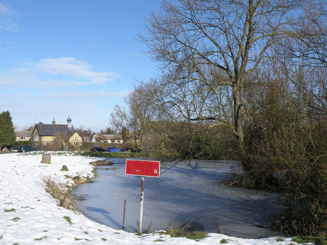
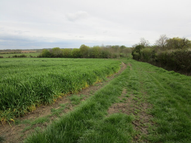
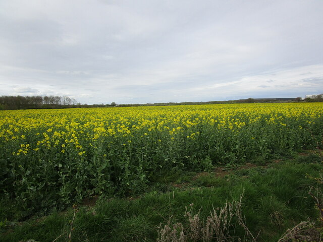
The village is characterized by its charming rural landscape, with rolling hills, green fields, and meandering streams. Morborne is surrounded by a patchwork of agricultural land, predominantly used for farming and grazing. The village itself is composed of a small cluster of traditional stone and brick houses, many of which date back several centuries, adding to its historic charm.
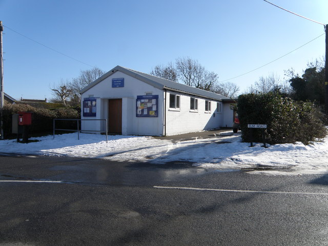
Despite its small size, Morborne has a strong sense of community, with a close-knit population who actively participate in local events and activities. The village is home to a quaint parish church, St. John the Baptist, which stands as a testament to its long-standing heritage.
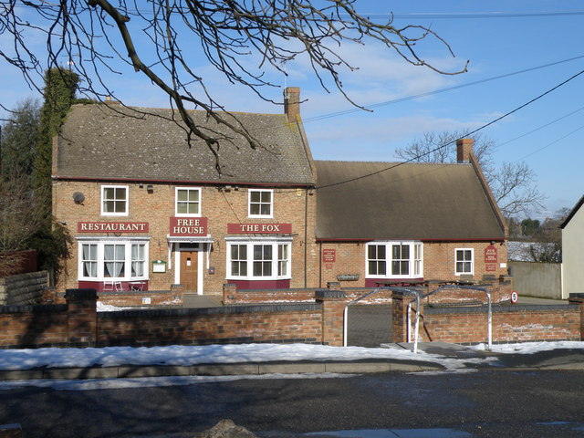
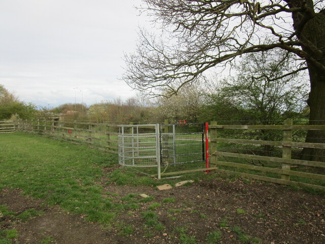
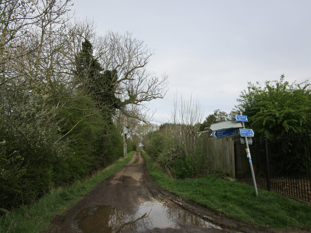
The surrounding area offers plenty of opportunities for outdoor pursuits, such as walking, cycling, and fishing, with numerous footpaths and country lanes crisscrossing the countryside. Morborne also benefits from its proximity to the nearby towns of Huntingdon and Peterborough, providing residents with access to a wider range of amenities and services.
In conclusion, Morborne is a charming and peaceful village in Huntingdonshire, known for its beautiful countryside setting, historic architecture, and strong community spirit.
If you have any feedback on the listing, please let us know in the comments section below.
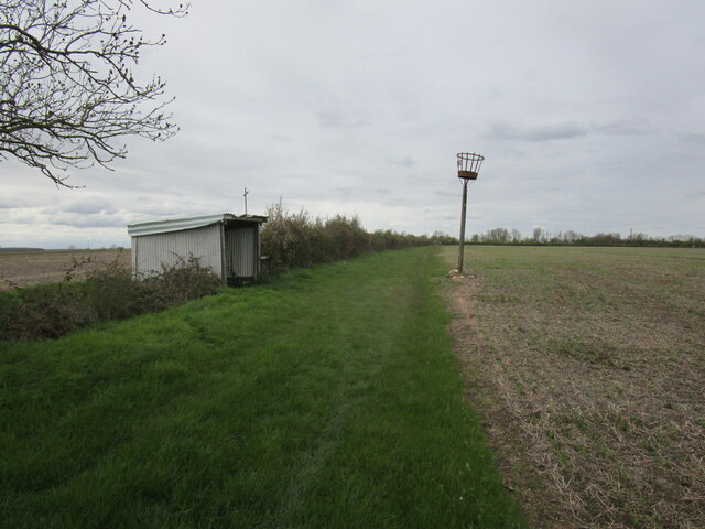
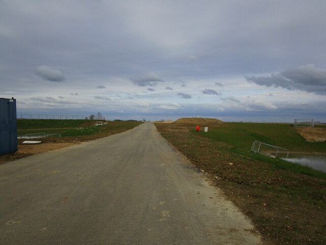
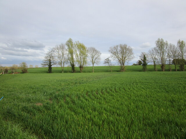
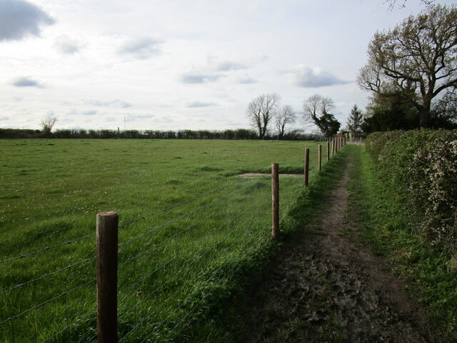
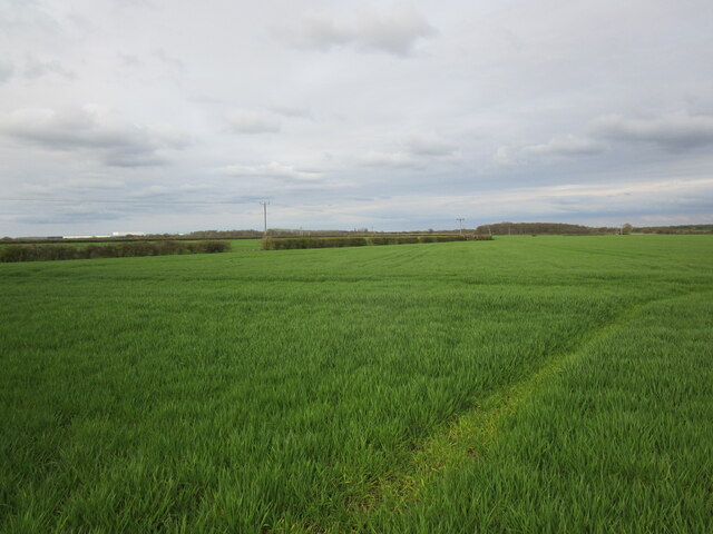
Morborne Images
Images are sourced within 2km of 52.509855/-0.320525 or Grid Reference TL1491. Thanks to Geograph Open Source API. All images are credited.


Morborne is located at Grid Ref: TL1491 (Lat: 52.509855, Lng: -0.320525)
Administrative County: Cambridgeshire
District: Huntingdonshire
Police Authority: Cambridgeshire
What 3 Words
///prowling.routs.manuals. Near Stilton, Cambridgeshire
Related Wikis

Haddon, Cambridgeshire
Haddon is a village and civil parish in Cambridgeshire, England. Haddon lies approximately 5 miles (8 km) south-west of Peterborough city centre, near...
Morborne
Morborne is a village and civil parish in Cambridgeshire, England. Morborne lies approximately 5 miles (8 km) south-west of Peterborough, near Yaxley....

Peterborough transmitting station
The Peterborough transmitting station is a broadcasting and telecommunications facility at Morborne Hill, near Peterborough, England (grid reference TL127913...
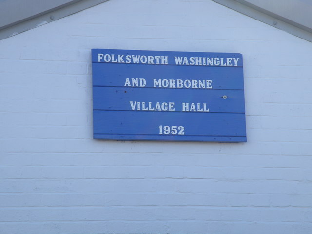
Folksworth and Washingley
Folksworth and Washingley is a civil parish near Peterborough in Cambridgeshire, England, comprising the villages of Folksworth and Washingley.The parish...
Nearby Amenities
Located within 500m of 52.509855,-0.320525Have you been to Morborne?
Leave your review of Morborne below (or comments, questions and feedback).