Moorthorpe

Settlement in Yorkshire

England

Moorthorpe

Chapel of rest in the cemetery at Moorthorpe
Chapel of rest in the cemetery at Moorthorpe Credit: Neil Theasby

The requested URL returned error: 429 Too Many Requests

If you have any feedback on the listing, please let us know in the comments section below.
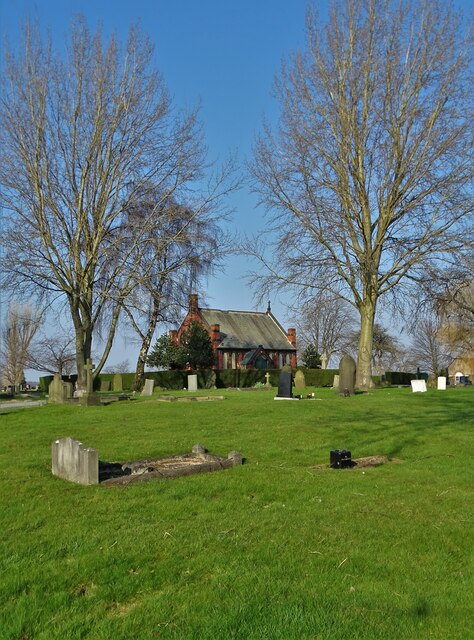
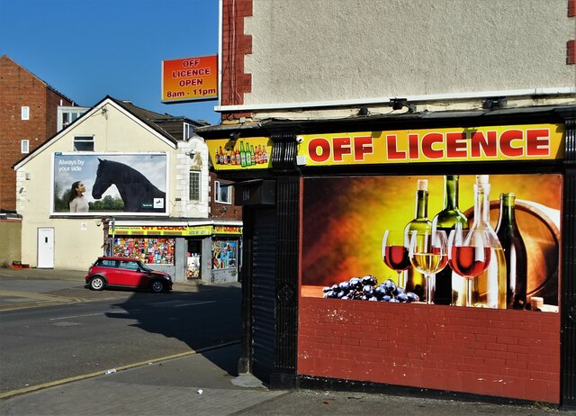
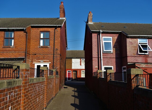
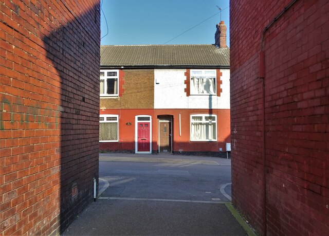
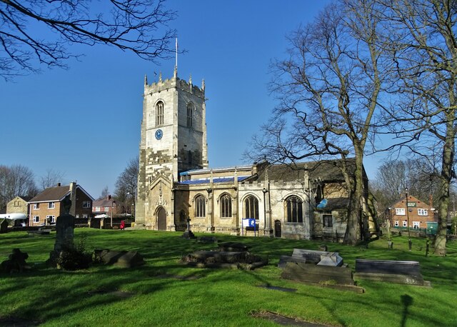
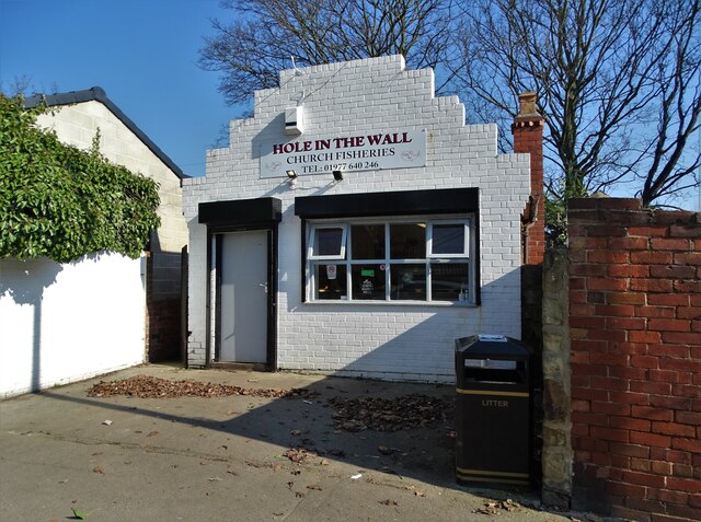
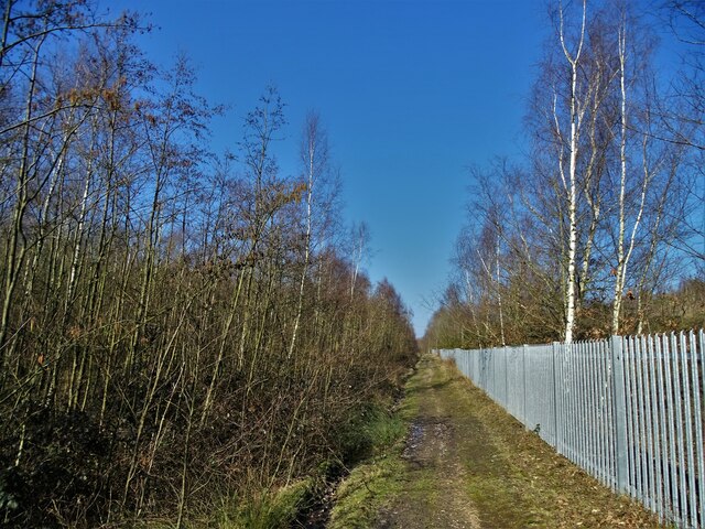
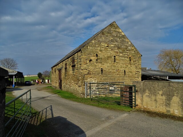
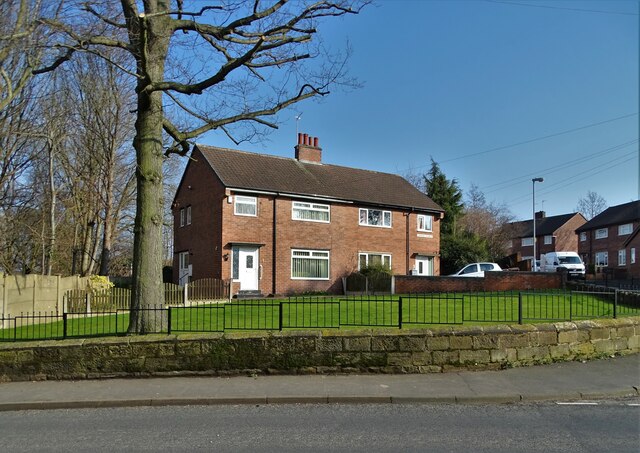
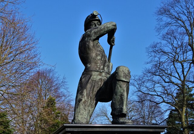
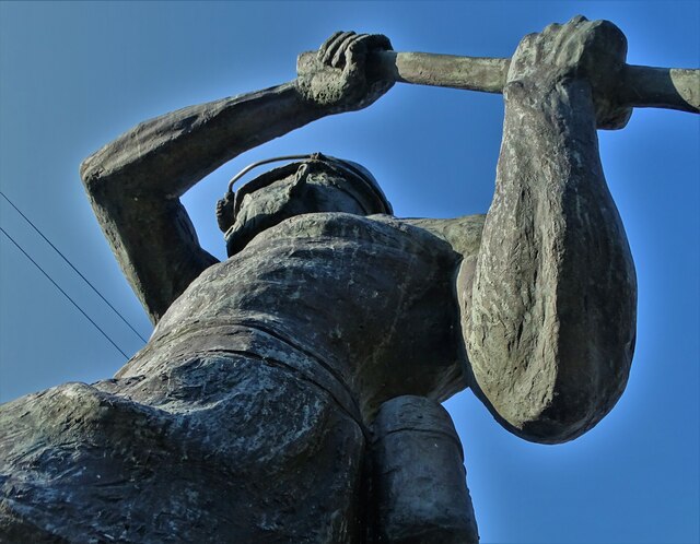
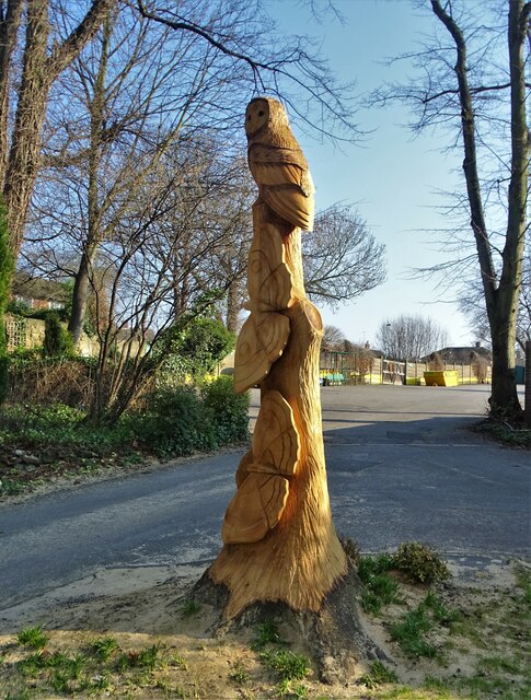
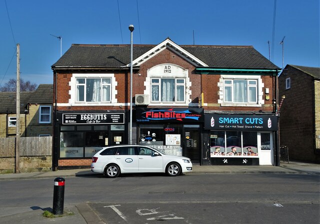
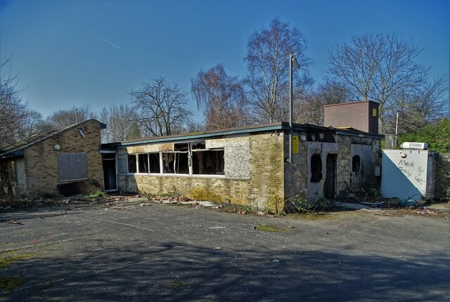
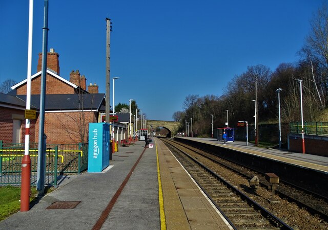
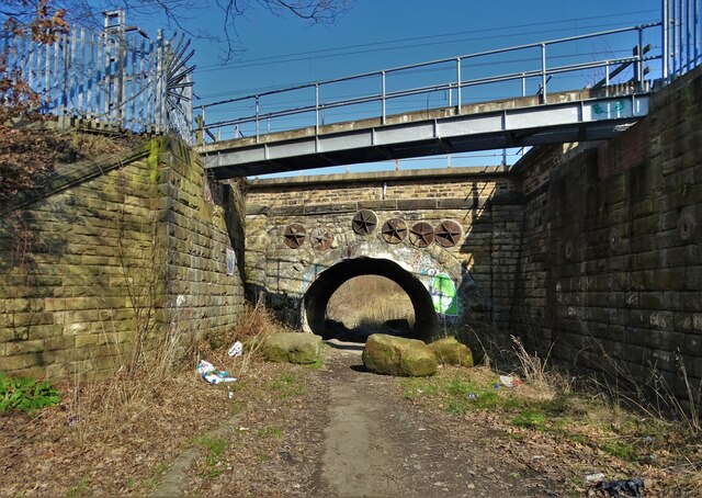
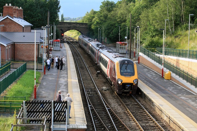
Moorthorpe Images

Images are sourced within 2km of 53.594863/-1.299047 or Grid Reference SE4611. Thanks to Geograph Open Source API. All images are credited.

Chapel of rest in the cemetery at Moorthorpe
Two off licences on Barnsley Road, Moorthorpe
Burton Street, Moorthorpe
All Saints Church, South Kirkby According to the West Yorkshire Archeological Society, although appearing externally to be all one date, the different parts of the stone building date to different eras. Some parts probably date back to the eleventh century (or even earlier), while others e.g. the West Tower, were constructed in the major remodelling work that took place around 1470.
All Saints Church, South Kirkby
According to the West Yorkshire Archeological Society, although appearing externally to be all one date, the different parts of the stone building date to different eras. Some parts probably date back to the eleventh century (or even earlier), while others e.g. the West Tower, were constructed in the major remodelling work that took place around 1470.
Fish and chip shop on Northfield Lane, South Kirkby
Track by the railway at Mutton Flatts
Is it Art? Graffiti "art" on a concrete block by a service bridge over the railway at Mutton Flatts. Echoes of the Bullingdon Club at Oxford? Perhaps.
Is it Art?
Graffiti "art" on a concrete block by a service bridge over the railway at Mutton Flatts. Echoes of the Bullingdon Club at Oxford? Perhaps.
Old stone barn at Ball Park Farm, South Kirkby
Remembering the coal miners, South Kirkby Pit wheel memorial on the corner of Mill Lane and White Apron Street. South Kirkby Colliery was first sunk in 1881 and produced coal for the nation until 1988.
Remembering the coal miners, South Kirkby
Pit wheel memorial on the corner of Mill Lane and White Apron Street. South Kirkby Colliery was first sunk in 1881 and produced coal for the nation until 1988.
Houses on Convent Avenue, South Kirkby
Statue of a coal miner in South Kirkby Created by a relatively famous local sculptor called Graham Ibberson and unveiled in 2005 to commemorate the local men who lost their lives for coal. In a hundred years at least 250 died at South Kirkby, Frickley and South Elmsall Collieries - also includes Riddings Drift Mines.
Statue of a coal miner in South Kirkby
Created by a relatively famous local sculptor called Graham Ibberson and unveiled in 2005 to commemorate the local men who lost their lives for coal. In a hundred years at least 250 died at South Kirkby, Frickley and South Elmsall Collieries - also includes Riddings Drift Mines.
Detail of the coal miner statue in South Kirkby Created by a relatively famous local sculptor called Graham Ibberson and unveiled in 2005 to commemorate the local men who lost their lives for coal. In a hundred years at least 250 died at South Kirkby, Frickley and South Elmsall Collieries - also includes Riddings Drift Mines.
Detail of the coal miner statue in South Kirkby
Created by a relatively famous local sculptor called Graham Ibberson and unveiled in 2005 to commemorate the local men who lost their lives for coal. In a hundred years at least 250 died at South Kirkby, Frickley and South Elmsall Collieries - also includes Riddings Drift Mines.
In the grounds of South Kirkby Town Hall The carving of an owl and butterflies - using the trunk of a dying tree - was completed very recently judging by the sawdust and wood chippings that surround it.
In the grounds of South Kirkby Town Hall
The carving of an owl and butterflies - using the trunk of a dying tree - was completed very recently judging by the sawdust and wood chippings that surround it.
Businesses on Carr Lane, South Kirkby
Former site of South Kirkby CMHT centre CMHT stands for Community Mental Health Team - a service that still operate in towns and cities around the country under the aegis of The National Health Service. Back in 2011 this centre was still up and running but now it is sadly derelict and an ongoing target for vandals. Perhaps services in the Barnsley area have been "rationalised" to save money.
Former site of South Kirkby CMHT centre
CMHT stands for Community Mental Health Team - a service that still operate in towns and cities around the country under the aegis of The National Health Service. Back in 2011 this centre was still up and running but now it is sadly derelict and an ongoing target for vandals. Perhaps services in the Barnsley area have been "rationalised" to save money.
Moorthorpe Railway Station
Railway bridge north of South Kirkby
Show me another place!

Moorthorpe is located at Grid Ref: SE4611 (Lat: 53.594863, Lng: -1.299047)

Division: West Riding

Unitary Authority: Wakefield

Police Authority: West Yorkshire

What 3 Words

///claps.issued.crunched. Near South Elmsall, West Yorkshire

Nearby Locations

Moorthorpe Elm Estate

Related Wikis

Moorthorpe

Moorthorpe is a village in the civil parish of South Kirkby and Moorthorpe in the City of Wakefield district of West Yorkshire, England. It is governed...

Moorthorpe railway station

Moorthorpe railway station serves the village of Moorthorpe and town of South Kirkby in West Yorkshire, England. It lies on the Wakefield Line and the...

South Kirkby and Moorthorpe

South Kirkby and Moorthorpe is a civil parish in the City of Wakefield in West Yorkshire, England which is governed locally by South Kirkby and Moorthorpe...

South Elmsall railway station

South Elmsall railway station serves the town of South Elmsall in West Yorkshire, England. It lies on the Wakefield Line operated by Northern 8+3⁄4 miles...

Nearby Amenities

Located within 500m of 53.594863,-1.299047
Moorthorpe
Place: suburb
Wikidata: Q6908497
Wikipedia: en:Moorthorpe
Lat/Long: 53.5933265/-1.3001917
Bus Stop
Carlton Road Carlton Gardens
Local Ref: 45017043
Naptan AtcoCode: 450017043
Naptan Bearing: NW
Naptan CommonName: Carlton Road Carlton Gardens
Naptan Crossing: CARLTON GARDENS
Naptan Indicator: Stop 45017043
Naptan Notes: Enddated 28/10/2005Stop REINSTATED 19/06/2008
Naptan ShortCommonName: Carlton Road
Naptan Street: CARLTON ROAD
Naptan Verified: no
Source: naptan_import
Lat/Long: 53.5938862/-1.292881
Bus Stop
Carlton Street
Local Ref: 45017044
Naptan AtcoCode: 450017044
Naptan Bearing: SE
Naptan CommonName: Carlton Street
Naptan Crossing: CARLTON GARDENS
Naptan Indicator: Stop 45017044
Naptan Notes: Enddated 28/10/2005Stop REINSTATED 19/06/2008
Naptan ShortCommonName: Carlton Street
Naptan Street: Carlton Road
Naptan Verified: no
Source: naptan_import
Lat/Long: 53.5942115/-1.2931778
Bus Stop
Barnsley Road Carlton Road
Local Ref: 45017052
Naptan AtcoCode: 450017052
Naptan Bearing: NE
Naptan CommonName: Barnsley Road Carlton Road
Naptan Crossing: Carlton Road
Naptan Indicator: Stop 45017052
Naptan PlusbusZoneRef: LEEDS
Naptan ShortCommonName: Carlton Road
Naptan Street: Barnsley Road
Naptan Verified: no
Source: naptan_import
Lat/Long: 53.5948755/-1.2929703
Bus Stop
Barnsley Road Carlton Road
Local Ref: 45017053
Naptan AtcoCode: 450017053
Naptan Bearing: W
Naptan CommonName: Barnsley Road Carlton Road
Naptan Crossing: Carlton Road
Naptan Indicator: Stop 45017053
Naptan Landmark: Fire Station
Naptan PlusbusZoneRef: LEEDS
Naptan ShortCommonName: Carlton Road
Naptan Street: Barnsley Road
Naptan Verified: no
Source: naptan_import
Lat/Long: 53.5944152/-1.2941867
Bus Stop
Barnsley Road Langthwaite Lane
Bus: yes
Local Ref: 45017054
Naptan AtcoCode: 450017054
Naptan Bearing: E
Naptan CommonName: Barnsley Road Langthwaite Lane
Naptan Crossing: Adj-Opp Langthwaite Lane
Naptan Indicator: Stop 45017054
Naptan PlusbusZoneRef: LEEDS
Naptan ShortCommonName: Langthwaite Lane
Naptan Street: Barnsley Road
Naptan Verified: no
Public Transport: platform
Source: naptan_import
Lat/Long: 53.5939747/-1.2974087
Bus Stop
Barnsley Road Cambridge Street
Local Ref: 45017055
Naptan AtcoCode: 450017055
Naptan Bearing: W
Naptan CommonName: Barnsley Road Cambridge Street
Naptan Crossing: Cambridge Street
Naptan Indicator: Stop 45017055
Naptan Landmark: Post Office
Naptan PlusbusZoneRef: LEEDS
Naptan ShortCommonName: Langthwaite Lane
Naptan Street: Barnsley Road
Naptan Verified: no
Source: naptan_import
Lat/Long: 53.5938719/-1.298094
Bus Stop
Barnsley Road Wesley Street
Local Ref: 45017056
Naptan AtcoCode: 450017056
Naptan Bearing: W
Naptan CommonName: Barnsley Road Wesley Street
Naptan Crossing: Wesley Street
Naptan Indicator: Stop 45017056
Naptan PlusbusZoneRef: LEEDS
Naptan ShortCommonName: Wesley Street
Naptan Street: Barnsley Road
Naptan Verified: no
Source: naptan_import
Lat/Long: 53.5937869/-1.3004524
Bus Stop
Barnsley Road Regent Street
Local Ref: 45017057
Naptan AtcoCode: 450017057
Naptan Bearing: E
Naptan CommonName: Barnsley Road Regent Street
Naptan Crossing: Regent Street
Naptan Indicator: Stop 45017057
Naptan PlusbusZoneRef: LEEDS
Naptan ShortCommonName: Regent Street
Naptan Street: Barnsley Road
Naptan Verified: no
Source: naptan_import
Lat/Long: 53.5939426/-1.3009484
Bus Stop
Barnsley Road Railway Station
Local Ref: 45017058
Naptan AtcoCode: 450017058
Naptan Bearing: SE
Naptan CommonName: Barnsley Road Railway Station
Naptan Crossing: Adj-At Minsthorpe Lane
Naptan Indicator: Stop 45017058
Naptan Landmark: Railway Station
Naptan PlusbusZoneRef: LEEDS
Naptan ShortCommonName: Moorthorpe Station
Naptan Street: Barnsley Road
Naptan Verified: no
Shelter: yes
Source: naptan_import
Lat/Long: 53.5943926/-1.3056854
Bus Stop
Barnsley Road Railway Station
Local Ref: 45017059
Naptan AtcoCode: 450017059
Naptan Bearing: NW
Naptan CommonName: Barnsley Road Railway Station
Naptan Crossing: Adj-Opp Minsthorpe Lane
Naptan Indicator: Stop 45017059
Naptan Landmark: Moorthorpe Railway Station
Naptan PlusbusZoneRef: LEEDS
Naptan ShortCommonName: Moorthorpe Station
Naptan Street: Barnsley Road
Naptan Verified: no
Source: naptan_import
Lat/Long: 53.5944134/-1.3061685
Bus Stop
Little Lane Beaumont Avenue
Local Ref: 45016496
Naptan AtcoCode: 450016496
Naptan Bearing: SE
Naptan CommonName: Little Lane Beaumont Avenue
Naptan Crossing: Beaumont Avenue
Naptan Indicator: Stop 45016496
Naptan PlusbusZoneRef: LEEDS
Naptan ShortCommonName: Beaumont Avenue
Naptan Street: Little Lane
Naptan Verified: no
Source: naptan_import
Lat/Long: 53.5962582/-1.2972838
Bus Stop
Little Lane Beaumont Avenue
Local Ref: 45016497
Naptan AtcoCode: 450016497
Naptan Bearing: NW
Naptan CommonName: Little Lane Beaumont Avenue
Naptan Crossing: Beaumont Avenue
Naptan Indicator: Stop 45016497
Naptan PlusbusZoneRef: LEEDS
Naptan ShortCommonName: Beaumont Avenue
Naptan Street: Little Lane
Naptan Verified: no
Source: naptan_import
Lat/Long: 53.5959249/-1.2971684
Bus Stop
Little Lane Allott Close
Local Ref: 45016498
Naptan AtcoCode: 450016498
Naptan Bearing: NW
Naptan CommonName: Little Lane Allott Close
Naptan Crossing: Allott Close
Naptan Indicator: Stop 45016498
Naptan Landmark: Health Centre
Naptan PlusbusZoneRef: LEEDS
Naptan ShortCommonName: Allott Close
Naptan Street: Little Lane
Naptan Verified: no
Source: naptan_import
Lat/Long: 53.5949845/-1.296217
Bus Stop
Minsthorpe Lane Cambridge Street
Local Ref: 45016499
Naptan AtcoCode: 450016499
Naptan Bearing: SW
Naptan CommonName: Minsthorpe Lane Cambridge Street
Naptan Crossing: Cambridge Street
Naptan Indicator: Stop 45016499
Naptan PlusbusZoneRef: LEEDS
Naptan ShortCommonName: Cambridge Street
Naptan Street: Minsthorpe Lane
Naptan Verified: no
Source: naptan_import
Lat/Long: 53.5977181/-1.3009919
Bus Stop
Minsthorpe Lane Cambridge Street
Local Ref: 45016500
Naptan AtcoCode: 450016500
Naptan Bearing: NE
Naptan CommonName: Minsthorpe Lane Cambridge Street
Naptan Crossing: Cambridge Street
Naptan Indicator: Stop 45016500
Naptan PlusbusZoneRef: LEEDS
Naptan ShortCommonName: Cambridge Street
Naptan Street: Minsthorpe Lane
Naptan Verified: no
Source: naptan_import
Lat/Long: 53.5977731/-1.3011723
Bus Stop
Minsthorpe Lane Longdale Drive
Local Ref: 45017701
Naptan AtcoCode: 450017701
Naptan Bearing: SW
Naptan CommonName: Minsthorpe Lane Longdale Drive
Naptan Crossing: Longdale Drive
Naptan Indicator: Stop 45017701
Naptan PlusbusZoneRef: LEEDS
Naptan ShortCommonName: Longdale Drive
Naptan Street: Minsthorpe Lane
Naptan Verified: no
Source: naptan_import
Lat/Long: 53.596563/-1.3032926
Bus Stop
Minsthorpe Lane Ings Walk
Local Ref: 45017702
Naptan AtcoCode: 450017702
Naptan Bearing: SW
Naptan CommonName: Minsthorpe Lane Ings Walk
Naptan Crossing: Ings Walk
Naptan Indicator: Stop 45017702
Naptan PlusbusZoneRef: LEEDS
Naptan ShortCommonName: Ings Walk
Naptan Street: Minsthorpe Lane
Naptan Verified: no
Source: naptan_import
Lat/Long: 53.5953983/-1.3055027
Bus Stop
Minsthorpe Lane Ings Walk
Local Ref: 45017703
Naptan AtcoCode: 450017703
Naptan Bearing: NE
Naptan CommonName: Minsthorpe Lane Ings Walk
Naptan Crossing: Ings Walk
Naptan Indicator: Stop 45017703
Naptan PlusbusZoneRef: LEEDS
Naptan ShortCommonName: Ings Walk
Naptan Street: Minsthorpe Lane
Naptan Verified: no
Source: naptan_import
Lat/Long: 53.5953817/-1.3057447
Minsthorpe Lane Longdale Drive
Local Ref: 45050539
Naptan AtcoCode: 450050539
Naptan Bearing: NE
Naptan BusStopType: CUS
Naptan CommonName: Minsthorpe Lane Longdale Drive
Naptan Indicator: Stop 45050539
Naptan PlusbusZoneRef: LEEDS
Naptan ShortCommonName: Longdale Drive
Naptan Street: Minsthorpe Lane
Naptan Verified: no
Source: naptan_import
Lat/Long: 53.5966535/-1.303412
Noexit: yes
Lat/Long: 53.5943235/-1.2928462
Noexit: yes
Lat/Long: 53.5943842/-1.2929562
Noexit: yes
Lat/Long: 53.5955522/-1.2931445
Noexit: yes
Lat/Long: 53.5944203/-1.3002937
Barrier: cycle_barrier
Lat/Long: 53.5960672/-1.2988972
Railway: switch
Lat/Long: 53.5960417/-1.3052633
Railway: railway_crossing
Lat/Long: 53.5963244/-1.3054414
Railway: switch
Lat/Long: 53.5943293/-1.3046352
Railway: switch
Lat/Long: 53.5942363/-1.3045479
Railway: switch
Lat/Long: 53.594575/-1.304723
Railway: switch
Lat/Long: 53.5960301/-1.3053195
Turning Circle
Lat/Long: 53.590936/-1.2955299
Noexit: yes
Lat/Long: 53.5942537/-1.3001433
Crossing
Crossing: marked
Crossing Island: no
Tactile Paving: yes
Traffic Calming: table
Lat/Long: 53.5949629/-1.2922006
Crossing
Crossing: marked
Crossing Island: no
Tactile Paving: yes
Lat/Long: 53.5941928/-1.2957142
Crossing
Crossing: traffic_signals
Lat/Long: 53.5946442/-1.2935798
Post Box
Operator: Royal Mail
Operator Wikidata: Q638098
Post Box Type: pillar
Ref: WF9 175
Lat/Long: 53.5939778/-1.2974909
Post Box
Operator: Royal Mail
Post Box Type: lamp
Ref: WF9 174
Lat/Long: 53.5963817/-1.3034926
Pub
The Mallard
Addr City: Pontefract
Addr Postcode: WF9 3AT
Addr Street: Barnsley Road
Addr Suburb: South Kirkby
Addr Town: Pontefract
Fhrs Id: 626358
Floor Material: lino
Outdoor Seating: yes
Real Ale: 4 of their beers and a couple of ciders
Toilets Wheelchair: designated
Wheelchair: yes
Wheelchair Description: Flat
Lat/Long: 53.5949725/-1.3051039
Cafe
Palms Cafe
Addr City: Pontefract
Addr Housename: The Oasis Christian Centre
Addr Housenumber: 10a
Addr Postcode: WF9 2RD
Addr Street: Exchange Street
Addr Suburb: South Elmsall
Addr Town: Pontefract
Fhrs Id: 903941
Lat/Long: 53.5951506/-1.2936214
Social Facility
Mellwood House
Addr City: Pontefract
Addr Postcode: WF9 2PP
Addr Street: Little Lane
Addr Suburb: South Elmsall
Addr Town: Pontefract
Fhrs Id: 283991
Social Facility: assisted_living
Social Facility For: senior
Lat/Long: 53.5966692/-1.299018
Pub
Minsthorpe Hotel
Addr City: Pontefract
Addr Postcode: WF9 2NY
Addr Street: Minsthorpe Lane
Addr Suburb: South Elmsall
Addr Town: Pontefract
Fhrs Id: 284201
Lat/Long: 53.5977739/-1.299879
S & T Vodden Family Butchers
Addr City: Pontefract
Addr Housenumber: 274
Addr Postcode: WF9 2AD
Addr Street: Barnsley Road
Addr Suburb: South Elmsall
Addr Town: Pontefract
Fhrs Id: 283400
Shop: butcher
Lat/Long: 53.5942161/-1.2952133
Hinitts Bakery
Addr City: Pontefract
Addr Housenumber: 270
Addr Postcode: WF9 2AD
Addr Street: Barnsley Road
Addr Suburb: South Elmsall
Addr Town: Pontefract
Fhrs Id: 313722
Shop: bakery
Lat/Long: 53.5941962/-1.2953433
Pub
Moorthorpe Recreation Social Club
Addr City: Pontefract
Addr Postcode: WF9 2AG
Addr Street: Langthwaite Lane
Addr Suburb: South Elmsall
Addr Town: Pontefract
Fhrs Id: 283911
Lat/Long: 53.5917948/-1.2995786
Pub
The Little Un
Addr City: Pontefract
Addr Postcode: WF9 2AF
Addr Street: Spring Terrace
Addr Suburb: South Elmsall
Addr Town: Pontefract
Fhrs Id: 313985
Lat/Long: 53.5933915/-1.2970546
Pub
Moorthorpe Empire Working Mens Club
Addr City: Pontefract
Addr Postcode: WF9 2AE
Addr Street: Barnsley Road
Addr Suburb: South Elmsall
Addr Town: Pontefract
Fhrs Id: 313641
Lat/Long: 53.5943912/-1.2977386
Baltic Food Store
Addr City: Pontefract
Addr Housenumber: 194
Addr Postcode: WF9 2AL
Addr Street: Barnsley Road
Addr Suburb: South Elmsall
Addr Town: Pontefract
Fhrs Id: 1126657
Shop: convenience
Lat/Long: 53.5937473/-1.2988195
Fast Food
Maggie's Chippy & Breakfast Bar
Addr City: Pontefract
Addr Housenumber: 252
Addr Postcode: WF9 2AL
Addr Street: Barnsley Road
Addr Suburb: South Elmsall
Addr Town: Pontefract
Cuisine: fish_and_chips
Fhrs Id: 340221
Takeaway: yes
Lat/Long: 53.5938325/-1.2967528
Fast Food
Taj Mahal
Addr City: Pontefract
Addr Housenumber: 204
Addr Postcode: WF9 2AL
Addr Street: Barnsley Road
Addr Suburb: South Elmsall
Addr Town: Pontefract
Cuisine: indian
Fhrs Id: 283399
Takeaway: yes
Lat/Long: 53.5937998/-1.2983783
Kindergarten
St Peter's and St Paul's Pre School
Addr City: Pontefract
Addr Housename: St Peters And St Pauls Millenium Hall
Addr Postcode: WF9 2BJ
Addr Street: Barnsley Road
Addr Suburb: South Elmsall
Addr Town: Pontefract
Lat/Long: 53.5936072/-1.2995459
Fast Food
Paninos
Addr City: Pontefract
Addr Housenumber: 202
Addr Postcode: WF9 2AL
Addr Street: Barnsley Road
Addr Suburb: South Elmsall
Addr Town: Pontefract
Cuisine: burger;chicken;kebab;pizza
Fhrs Id: 1053204
Takeaway: yes
Lat/Long: 53.5937871/-1.2984574
Lazy Lunches
Addr City: Pontefract
Addr Housename: The Saw Mill
Addr Housenumber: 61
Addr Postcode: WF9 2QW
Addr Street: Barnsley Road
Addr Suburb: South Elmsall
Addr Town: Pontefract
Craft: caterer
Fhrs Id: 1138740
Lat/Long: 53.5948051/-1.2923849
Moorthorpe Junction
Railway: junction
Lat/Long: 53.5968029/-1.3057288
Moorthorpe
Naptan AtcoCode: 9100MORTHRP
Network: National Rail
Network Website: https://www.nationalrail.co.uk/stations/mrp/
Network Wikidata: Q26334
Operator: Northern Rail
Operator Website: https://www.northernrailway.co.uk/stations/moorthorpe
Operator Wikidata: Q85789775
Railway: station
Ref Crs: MRP
Wikidata: Q2386115
Wikipedia: en:Moorthorpe railway station
Lat/Long: 53.5948943/-1.3048115
Cafe
Addr City: Pontefract
Addr Housename: St Luke's Church
Addr Postcode: WF9 2AD
Addr Street: Barnsley Road
Addr Suburb: South Elmsall
Addr Town: Pontefract
Fhrs Id: 1213324
Lat/Long: 53.5941477/-1.2948471
Charging Station
Pod Point
Access: customers
Capacity: 2
Fee: yes
Operator: Pod Point
Operator Wikidata: Q42888154
Lat/Long: 53.5946652/-1.2948752
South Elmsall Junction
Railway: junction
Lat/Long: 53.598637/-1.3010309
Pharmacy
White Rose Pharmacy
Addr City: Pontefract
Addr Postcode: WF9 2RD
Addr Street: Exchange Street
Dispensing: yes
Healthcare: pharmacy
Lat/Long: 53.5958697/-1.2946484
Charging Station
EVBOX
Capacity: 2
Operator: EVBOX
Operator Wikidata: Q28406392
Lat/Long: 53.5937454/-1.2950792
Atm
Barclays
Brand: Barclays
Brand Wikidata: Q245343
Brand Wikipedia: en:Barclays
Operator: Barclays
Operator Wikidata: Q245343
Lat/Long: 53.5939374/-1.2960073
Entrance: main
Lat/Long: 53.5938746/-1.2961107
Atm
Lloyds Bank
Brand: Lloyds Bank
Brand Wikidata: Q1152847
Brand Wikipedia: en:Lloyds Bank
Operator: Lloyds Bank
Operator Wikidata: Q1152847
Lat/Long: 53.5943614/-1.2952662
Entrance: yes
Lat/Long: 53.5943412/-1.2953442
Country: UK
Flag Name: Union Jack
Flag Type: national
Flag Wikidata: Q83278
Man Made: flagpole
Subject: United Kingdom
Subject Wikidata: Q145
Lat/Long: 53.5937635/-1.2994038
Direction: both
Traffic Calming: hump
Lat/Long: 53.5938371/-1.2997148
Direction: both
Traffic Calming: hump
Lat/Long: 53.5939124/-1.2970775
Direction: both
Traffic Calming: hump
Lat/Long: 53.5938938/-1.2984302
Traffic Signals
Traffic Signals: pedestrian_crossing
Traffic Signals Direction: forward
Lat/Long: 53.594176/-1.2957764
Traffic Signals
Traffic Signals: pedestrian_crossing
Traffic Signals Direction: backward
Lat/Long: 53.5942055/-1.2956655
Traffic Signals
Traffic Signals: pedestrian_crossing
Traffic Signals Direction: forward
Lat/Long: 53.5946292/-1.2936296
Traffic Signals
Traffic Signals: pedestrian_crossing
Traffic Signals Direction: backward
Lat/Long: 53.5946597/-1.2935292
Discount Carpets
Addr City: Pontefract
Addr Housenumber: 107
Addr Postcode: WF9 2BH
Addr Street: Barnsley Road
Addr Suburb: Moorthorpe
Contact Email: leetepper0707@gmail.com
Contact Phone: +44 7528 682672
Opening Hours: Mo-Fr 10:00-16:00; Sa 10:00-13:30
Shop: carpet
Lat/Long: 53.5939559/-1.3005576
Generator Method: photovoltaic
Generator Output Electricity: yes
Generator Source: solar
Generator Type: solar_photovoltaic_panel
Location: roof
Power: generator
Lat/Long: 53.5990632/-1.3005897
Generator Method: photovoltaic
Generator Output Electricity: yes
Generator Source: solar
Generator Type: solar_photovoltaic_panel
Location: roof
Power: generator
Lat/Long: 53.5989231/-1.3000184
Generator Method: photovoltaic
Generator Output Electricity: yes
Generator Source: solar
Generator Type: solar_photovoltaic_panel
Location: roof
Power: generator
Lat/Long: 53.598869/-1.2978217
Generator Method: photovoltaic
Generator Output Electricity: yes
Generator Source: solar
Generator Type: solar_photovoltaic_panel
Location: roof
Power: generator
Lat/Long: 53.5979235/-1.2958342
Entrance: main
Lat/Long: 53.5949758/-1.3051741
The data included in this document is from www.openstreetmap.org. The data is made available under ODbL.

Have you been to Moorthorpe?

Leave your review of Moorthorpe below (or comments, questions and feedback).