Moorfield

Settlement in Derbyshire High Peak

England

Moorfield

Silver Service to Sheffield The X57 service run by Hulley's of Baslow operates a service from Sheffield to Manchester Airport via the Snake Pass, Glossop, Hyde, Manchester (Chorlton Street) and Fallowfield.

Update: Notice on FB from the operator "After what will be 441 days, the Snake X57 will be withdrawn after operation on Saturday 8 January 2022."
Silver Service to Sheffield Credit: Gerald England

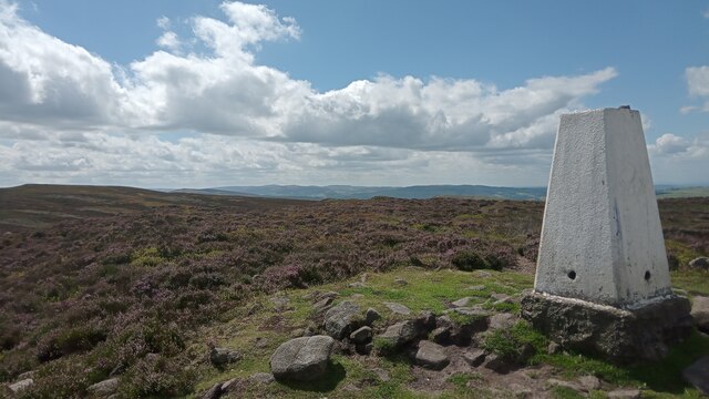
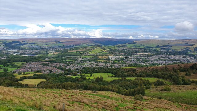
Moorfield is a small village located in the county of Derbyshire, England. Situated in the heart of the Peak District National Park, Moorfield is renowned for its picturesque surroundings and natural beauty. The village is nestled in a valley, surrounded by rolling hills and lush green landscapes, offering residents and visitors an idyllic rural setting.

With a population of around 500 people, Moorfield maintains a close-knit community atmosphere. The village is primarily residential, consisting of traditional stone cottages and farmhouses, which add to its charm and character. The local economy is mainly supported by agriculture, with many residents involved in farming and livestock rearing.

Despite its small size, Moorfield offers a range of amenities to cater to the needs of its residents. The village boasts a primary school, a community hall, and a local pub, serving as a gathering place for locals and visitors alike. Additionally, there are several walking and cycling trails in and around the village, allowing outdoor enthusiasts to explore the beautiful countryside.

Moorfield's proximity to the Peak District National Park provides ample opportunities for outdoor activities and adventure. The park offers stunning hiking trails, rock climbing opportunities, and breathtaking views from its peaks. The nearby River Derwent also attracts fishing enthusiasts and offers a tranquil spot for relaxation.

Overall, Moorfield is a charming village that offers a peaceful and scenic lifestyle, making it an ideal destination for those seeking a rural retreat in Derbyshire's stunning countryside.

If you have any feedback on the listing, please let us know in the comments section below.
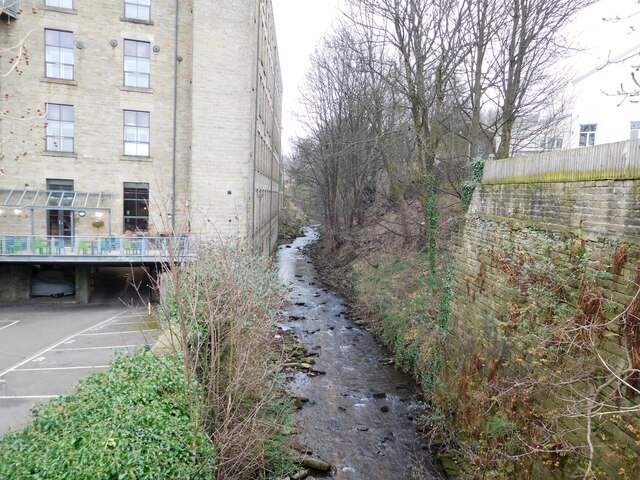
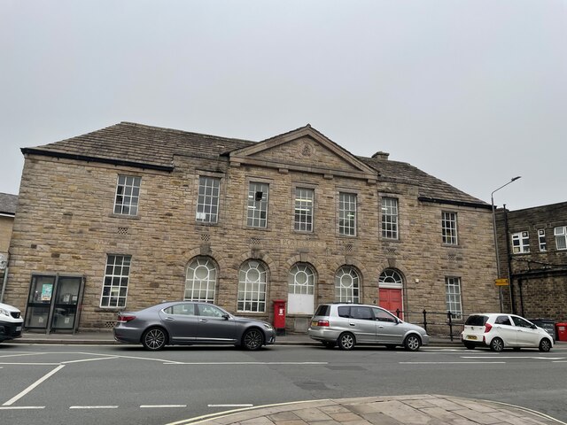
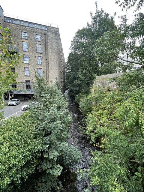
Moorfield Images

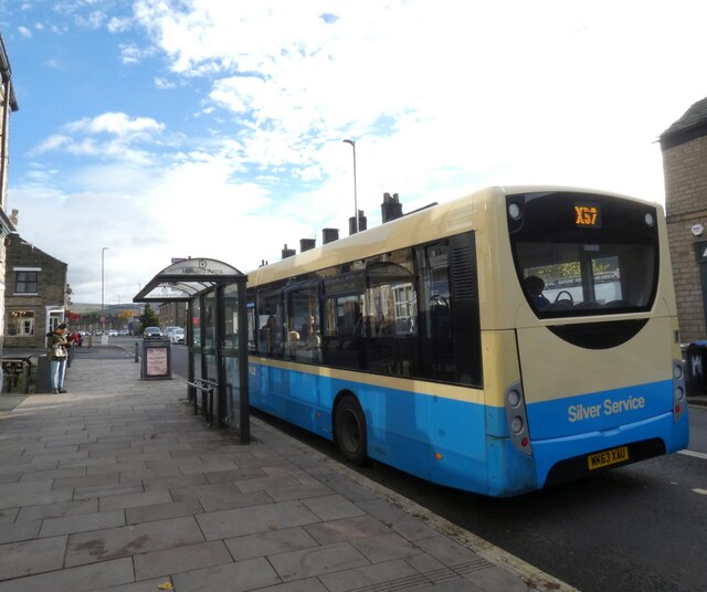
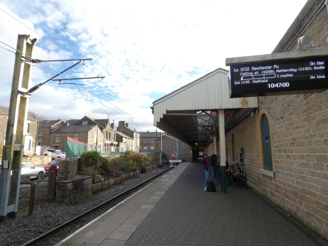
Images are sourced within 2km of 53.430697/-1.930582 or Grid Reference SK0492. Thanks to Geograph Open Source API. All images are credited.

Silver Service to Sheffield The X57 service run by Hulley's of Baslow operates a service from Sheffield to Manchester Airport via the Snake Pass, Glossop, Hyde, Manchester (Chorlton Street) and Fallowfield.

Update: Notice on FB from the operator "After what will be 441 days, the Snake X57 will be withdrawn after operation on Saturday 8 January 2022."
Silver Service to Sheffield
The X57 service run by Hulley's of Baslow operates a service from Sheffield to Manchester Airport via the Snake Pass, Glossop, Hyde, Manchester (Chorlton Street) and Fallowfield. Update: Notice on FB from the operator "After what will be 441 days, the Snake X57 will be withdrawn after operation on Saturday 8 January 2022."
Glossop Station Glossop Railway Station was opened in 1845 by the Sheffield, Ashton-Under-Lyne & Manchester Railway. The station and the branch line from Dinting were built privately by the Duke of Norfolk; ownership later transferred to the London and North Eastern Railway. In 2005, Glossop Environmental Trust undertook enhancement work to the station building and garden, with stone copings, railings and planting.
Glossop Station
Glossop Railway Station was opened in 1845 by the Sheffield, Ashton-Under-Lyne & Manchester Railway. The station and the branch line from Dinting were built privately by the Duke of Norfolk; ownership later transferred to the London and North Eastern Railway. In 2005, Glossop Environmental Trust undertook enhancement work to the station building and garden, with stone copings, railings and planting.
View from Harry Hut The view direction given may be out by 90°. I have gone with what I typed into my phone's notebook, though it could be SouthEast - geographing would be a lot easier if 'w' and 'e' weren't right next to each other on the keyboard I often think!
Sitting amongst lots of pretty purple heather, the hill itself is fairly unremarkable apart from the trig pillar; it's more of a bump on a plateau shared with Burnt Hill, which is due South, before the land slowly rises again to the East. Its name is pretty good though, and nobody seems to have a clue where it comes from. If there was a hut here once - which is surely the most logical explanation - should it not have been called 'Harry's Hut'?  The answer will no doubt be in an old book somewhere.
The trig point's height is 441 metres. All four sight-holes at the base are still there, which is fairly unusual, but on the other hand  the bit in the middle of the top mounting plate has been concreted over.
View from Harry Hut
The view direction given may be out by 90°. I have gone with what I typed into my phone's notebook, though it could be SouthEast - geographing would be a lot easier if 'w' and 'e' weren't right next to each other on the keyboard I often think! Sitting amongst lots of pretty purple heather, the hill itself is fairly unremarkable apart from the trig pillar; it's more of a bump on a plateau shared with Burnt Hill, which is due South, before the land slowly rises again to the East. Its name is pretty good though, and nobody seems to have a clue where it comes from. If there was a hut here once - which is surely the most logical explanation - should it not have been called 'Harry's Hut'? The answer will no doubt be in an old book somewhere. The trig point's height is 441 metres. All four sight-holes at the base are still there, which is fairly unusual, but on the other hand the bit in the middle of the top mounting plate has been concreted over.
Glossop Glossop seen from Monks' Road.
Glossop
Glossop seen from Monks' Road.
Edinburgh Woollen Mill, Glossop Now closed.
Edinburgh Woollen Mill, Glossop
Now closed.
M&S Foodhall, Glossop
Old Wayside Cross on Carr House Lane, Glossop Carr House Lane Cross, a cross incised in a carved stone beside the footpath called Carr House Lane from Cliffe Road in Glossop to Derbyshire Level. Read N. T Sharpe (2002), Crosses of the Peak District and <span class="nowrap"><a title="https://glossopcuriosities.wordpress.com/2017/12/01/carr-house-lane-stone/" rel="nofollow ugc noopener" href="https://glossopcuriosities.wordpress.com/2017/12/01/carr-house-lane-stone/">Link</a><img style="margin-left:2px;" alt="External link" title="External link - shift click to open in new window" src="https://s1.geograph.org.uk/img/external.png" width="10" height="10"/></span>.

Milestone Society National ID: DEHP_GLO04
Old Wayside Cross on Carr House Lane, Glossop
Carr House Lane Cross, a cross incised in a carved stone beside the footpath called Carr House Lane from Cliffe Road in Glossop to Derbyshire Level. Read N. T Sharpe (2002), Crosses of the Peak District and LinkExternal link. Milestone Society National ID: DEHP_GLO04
Old Wayside Cross in Glossop Whitfield Cross, the shaft of an old wayside cross now part of a stile on the footpath from High Street East in Glossop to Cliffe Road. Read N. T Sharpe (2002), Crosses of the Peak District and <span class="nowrap"><a title="https://glossopcuriosities.wordpress.com/2017/09/07/whitfield-cross/" rel="nofollow ugc noopener" href="https://glossopcuriosities.wordpress.com/2017/09/07/whitfield-cross/">Link</a><img style="margin-left:2px;" alt="External link" title="External link - shift click to open in new window" src="https://s1.geograph.org.uk/img/external.png" width="10" height="10"/></span>.

Milestone Society National ID: DEHP_GLO05
Old Wayside Cross in Glossop
Whitfield Cross, the shaft of an old wayside cross now part of a stile on the footpath from High Street East in Glossop to Cliffe Road. Read N. T Sharpe (2002), Crosses of the Peak District and LinkExternal link. Milestone Society National ID: DEHP_GLO05
Glossop Brook Upstream from Victoria Street.
Glossop Brook
Upstream from Victoria Street.
Glossop Municipal Buildings
High Street West The A57 heading into Glossop. On the left is E Fielding & Son. jewellers with their distinctive clock <a href="https://www.geograph.org.uk/photo/7560056">SK0394 : Fielding's clock</a>.
High Street West
The A57 heading into Glossop. On the left is E Fielding & Son. jewellers with their distinctive clock SK0394 : Fielding's clock.
Fielding's clock 
Clock on the wall of E Fielding & Son jewellers <a href="https://www.geograph.org.uk/photo/7560045">SK0394 : High Street West</a>. Alas it is stuck on 18 minutes past 8.
Fielding's clock
Clock on the wall of E Fielding & Son jewellers SK0394 : High Street West. Alas it is stuck on 18 minutes past 8.
Former Barclays Bank 
Barclays opened their first branch in Glossop in the 1920s. It closed in 2018 and the building on the corner of Norfolk Street and High Street East awaits a new tenant.
Former Barclays Bank
Barclays opened their first branch in Glossop in the 1920s. It closed in 2018 and the building on the corner of Norfolk Street and High Street East awaits a new tenant.
Pigeons on bench Pigeons sitting on a bench in Norfolk Square, Glossop. Rainy day.
Pigeons on bench
Pigeons sitting on a bench in Norfolk Square, Glossop. Rainy day.
Union flags outside Roly's Pick a Card Roly's Pick a Card shop, Glossop.
Union flags outside Roly's Pick a Card
Roly's Pick a Card shop, Glossop.
Glossop sorting office Royal Mail sorting office, Glossop
Glossop sorting office
Royal Mail sorting office, Glossop
Glossop Brook Glossop Brook as viewed from Victoria Bridge
Glossop Brook
Glossop Brook as viewed from Victoria Bridge
Entrance to Howard Town Shopping Park, Glossop The entrance to the car park
Entrance to Howard Town Shopping Park, Glossop
The entrance to the car park
Show me another place!

Moorfield is located at Grid Ref: SK0492 (Lat: 53.430697, Lng: -1.930582)

Administrative County: Derbyshire

District: High Peak

Police Authority: Derbyshire

What 3 Words

///glorified.sprains.blinking. Near Glossop, Derbyshire

Nearby Locations

Moorfield

Related Wikis

Charlestown, Derbyshire

Charlestown is a village in Glossopdale, Derbyshire, England. It is in the Simmondley Ward of the High Peak District Council. The village is situated on...

Hurst Reservoir

Hurst Reservoir is a former, now disused, reservoir near Glossop, north Derbyshire. == History == In 1837, 50 local millowners and gentlemen, known as...

Glossopdale

Glossopdale is the area around Glossop, Derbyshire, England, the valley of the Glossop Brook. It includes Glossop, Hadfield, Charlesworth, Dinting, Dinting...

Chunal

Chunal is a hamlet in Derbyshire, England. It is located on the A624 road, 1 mile south of Glossop. The philosopher Ludwig Wittgenstein conducted aeronautical...

Nearby Amenities

Located within 500m of 53.430697,-1.930582
The data included in this document is from www.openstreetmap.org. The data is made available under ODbL.

Have you been to Moorfield?

Leave your review of Moorfield below (or comments, questions and feedback).