Belmesthorpe

Settlement in Rutland

England

Belmesthorpe

400kV Traction feeder Named for, and not very far from, Ryhall.  The overhead line is the 400kV from  Cottam Power Station to Wymondley Substation.  The whole purpose of this huge installation is to provide the 25kV feed to the East Coast Main Line at Essendine.
400kV Traction feeder Credit: Bob Harvey

Belmesthorpe is a small village situated in the county of Rutland, England. It is located approximately 2 miles southeast of the market town of Stamford and is surrounded by picturesque countryside. Belmesthorpe is part of the civil parish of Barrowden and is positioned near the border of Leicestershire.

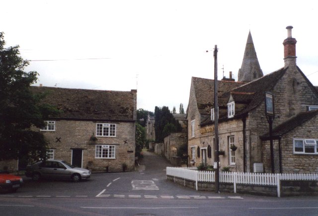
The village is characterized by its quaint and peaceful atmosphere, with a population of around 150 residents. It is mainly a residential area, consisting of traditional stone cottages and a few modern developments. The architecture of the village reflects its historical roots, with some buildings dating back to the 18th century.

Despite its small size, Belmesthorpe has a strong community spirit. The village has a village hall, which serves as a hub for various social events and gatherings. There are also some recreational facilities, including a playground and a sports field, providing opportunities for outdoor activities.

Belmesthorpe benefits from its proximity to Stamford, where residents can access a wider range of amenities such as shops, supermarkets, schools, and healthcare facilities. The village is well-connected by road, with the A1 trunk road passing nearby, providing easy access to major cities like Peterborough and Leicester.

Surrounded by the stunning Rutland countryside, Belmesthorpe offers residents and visitors alike the opportunity to explore the beautiful landscapes through walking, cycling, or other outdoor pursuits. The village provides a peaceful and idyllic setting, making it an attractive place to live for those seeking a rural lifestyle.

If you have any feedback on the listing, please let us know in the comments section below.
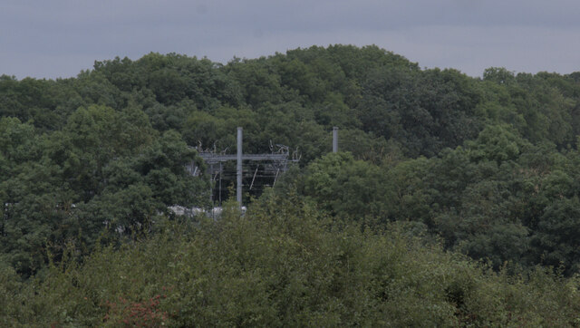
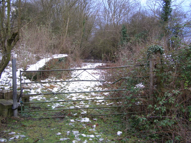
Belmesthorpe Images

Images are sourced within 2km of 52.68002/-0.45479 or Grid Reference TF0410. Thanks to Geograph Open Source API. All images are credited.

400kV Traction feeder Named for, and not very far from, Ryhall.  The overhead line is the 400kV from  Cottam Power Station to Wymondley Substation.  The whole purpose of this huge installation is to provide the 25kV feed to the East Coast Main Line at Essendine.
400kV Traction feeder
Named for, and not very far from, Ryhall. The overhead line is the 400kV from Cottam Power Station to Wymondley Substation. The whole purpose of this huge installation is to provide the 25kV feed to the East Coast Main Line at Essendine.
Field near Ryhall
Field near Ryhall
400kV substation There are two 400kV circuits on the pylon, which forms part of the route from Cottam Power Station to Wymondley Substation.  On one side (the furthest side here) the three phases are tapped off and dropped to this substation, which converts them to two 25kV single phase feeds for the railway.  These two feeds are cabled to an autotransformer at Essendine, where they are combined in a complex autotransformer, and then coupled again to the 25kV overhead lines for the East Coast Main Line.

This seems to replace the original 25kV link from Bourne West (<a href="https://www.geograph.org.uk/photo/6695800">TF0619 : Substation transformer</a>) to Little Bytham (<a href="https://www.geograph.org.uk/photo/6945830">TF0117 : 25kV in the garden</a>), but that has not been dismantled.
400kV substation
There are two 400kV circuits on the pylon, which forms part of the route from Cottam Power Station to Wymondley Substation. On one side (the furthest side here) the three phases are tapped off and dropped to this substation, which converts them to two 25kV single phase feeds for the railway. These two feeds are cabled to an autotransformer at Essendine, where they are combined in a complex autotransformer, and then coupled again to the 25kV overhead lines for the East Coast Main Line. This seems to replace the original 25kV link from Bourne West (TF0619 : Substation transformer) to Little Bytham (TF0117 : 25kV in the garden), but that has not been dismantled.
Substation sign The sign at Ryhall 400kV substation - see <a href="https://www.geograph.org.uk/photo/6951473">TF0411 : 400kV substation</a>
Substation sign
The sign at Ryhall 400kV substation - see TF0411 : 400kV substation
400kV pylon tap The drop wires from the three phases on the west of the line go down into the switchfield of the substation seen in <a href="https://www.geograph.org.uk/photo/6951473">TF0411 : 400kV substation</a>.

The system can be seen on this map: <span class="nowrap"><a title="https://openinframap.org/#14.34/52.69006/-0.44942" rel="nofollow ugc noopener" href="https://openinframap.org/#14.34/52.69006/-0.44942">Link</a><img style="margin-left:2px;" alt="External link" title="External link - shift click to open in new window" src="https://s1.geograph.org.uk/img/external.png" width="10" height="10"/></span>
400kV pylon tap
The drop wires from the three phases on the west of the line go down into the switchfield of the substation seen in TF0411 : 400kV substation. The system can be seen on this map: LinkExternal link
Transformers Electricity transformers at <a href="https://www.geograph.org.uk/photo/6951473">TF0411 : 400kV substation</a>
Transformers
Electricity transformers at TF0411 : 400kV substation
Distant infrastructure The electrical infeed structure across the tracks of the East Coast Main Line at Esendine, masked somewhat by the trees that have grown along the route of the former Stamford & Essendine railway.
Distant infrastructure
The electrical infeed structure across the tracks of the East Coast Main Line at Esendine, masked somewhat by the trees that have grown along the route of the former Stamford & Essendine railway.
Underground cable marker Each of the two underground 25kV cables from <a href="https://www.geograph.org.uk/photo/6951473">TF0411 : 400kV substation</a> to Essendine is marked with these marker posts, here shown against the boundary fence.  This is circuit number 1
Underground cable marker
Each of the two underground 25kV cables from TF0411 : 400kV substation to Essendine is marked with these marker posts, here shown against the boundary fence. This is circuit number 1
Circuit number 2 The marker post seen in <a href="https://www.geograph.org.uk/photo/6953748">TF0411 : Underground cable marker</a> to the right of the gate of the substation.
Circuit number 2
The marker post seen in TF0411 : Underground cable marker to the right of the gate of the substation.
Underground cable marker Each of the two underground 25kV cables from <a href="https://www.geograph.org.uk/photo/6951473">TF0411 : 400kV substation</a> to Essendine is marked with these marker posts, here shown against the boundary fence.  This is circuit number 2
Underground cable marker
Each of the two underground 25kV cables from TF0411 : 400kV substation to Essendine is marked with these marker posts, here shown against the boundary fence. This is circuit number 2
Circuit number 1 The marker post seen in <a href="https://www.geograph.org.uk/photo/6953741">TF0411 : Underground cable marker</a> to the left of the gate of the substation.
Circuit number 1
The marker post seen in TF0411 : Underground cable marker to the left of the gate of the substation.
Circuit number 1 again This is the twin of <a href="https://www.geograph.org.uk/photo/6953752">TF0411 : Circuit number 1</a> on the other side of the road.
Circuit number 1 again
This is the twin of TF0411 : Circuit number 1 on the other side of the road.
Missing marker post This is the route of Ryhall-Essendine circuit 2.  There should be a marker post here, just as there is one a few metres away <a href="https://www.geograph.org.uk/photo/6953756">TF0411 : Circuit number 1 again</a>.  But it is gone.  You can, however, clearly see where the road surface has been restored after laying the cable, and the wooden fencing erected to close the gap in the hedge.
Missing marker post
This is the route of Ryhall-Essendine circuit 2. There should be a marker post here, just as there is one a few metres away TF0411 : Circuit number 1 again. But it is gone. You can, however, clearly see where the road surface has been restored after laying the cable, and the wooden fencing erected to close the gap in the hedge.
Looking toward Essendine The path of the buried cable circuit number 2 (from the hedge gap in <a href="https://www.geograph.org.uk/photo/6953760">TF0411 : Missing marker post</a>).
Looking toward Essendine
The path of the buried cable circuit number 2 (from the hedge gap in TF0411 : Missing marker post).
LED sidelights It was a dull day, for all that it was not long after noon.  The sidelights on this Dennis "Elite 6" rubbish trunker belonging to South Kesteven District Council stood out brightly under the low grey cloud 

See <span class="nowrap"><a title="https://www.dennis-eagle.co.uk/globalassets/trrg/brochures/chassis-cab/elite-6/uk/w.4215-dennis-eagle-elite-6-preview-dps.pdf" rel="nofollow ugc noopener" href="https://www.dennis-eagle.co.uk/globalassets/trrg/brochures/chassis-cab/elite-6/uk/w.4215-dennis-eagle-elite-6-preview-dps.pdf">Link</a><img style="margin-left:2px;" alt="External link" title="External link - shift click to open in new window" src="https://s1.geograph.org.uk/img/external.png" width="10" height="10"/></span> for details of the vehicle.
LED sidelights
It was a dull day, for all that it was not long after noon. The sidelights on this Dennis "Elite 6" rubbish trunker belonging to South Kesteven District Council stood out brightly under the low grey cloud See LinkExternal link for details of the vehicle.
Belmesthorpe Lane has reached its destination Looking south-eastward.
Belmesthorpe Lane has reached its destination
Looking south-eastward.
The Church of St John the Evangelist and part of its burial ground, Ryhall Viewed from the southeast.
The Church of St John the Evangelist and part of its burial ground, Ryhall
Viewed from the southeast.
Bridge Street and bridge in Ryhall Looking northward. The River Gwash flows beneath the bridge.
Bridge Street and bridge in Ryhall
Looking northward. The River Gwash flows beneath the bridge.
Show me another place!

Belmesthorpe is located at Grid Ref: TF0410 (Lat: 52.68002, Lng: -0.45479)

Unitary Authority: Rutland

Police Authority: Leicestershire

What 3 Words

///slung.rationed.ferrets. Near Ryhall, Rutland

Nearby Locations

Belmesthorpe

Related Wikis

Ryhall railway station

Ryhall & Belmesthorpe railway station (originally Ryhall & Belmisthorpe) was a station in Belmesthorpe and about half a mile from Ryhall, both in Rutland...

Ryhall

Ryhall is a village and civil parish in the county of Rutland in the East Midlands of England. It is situated close to the eastern boundary of the county...

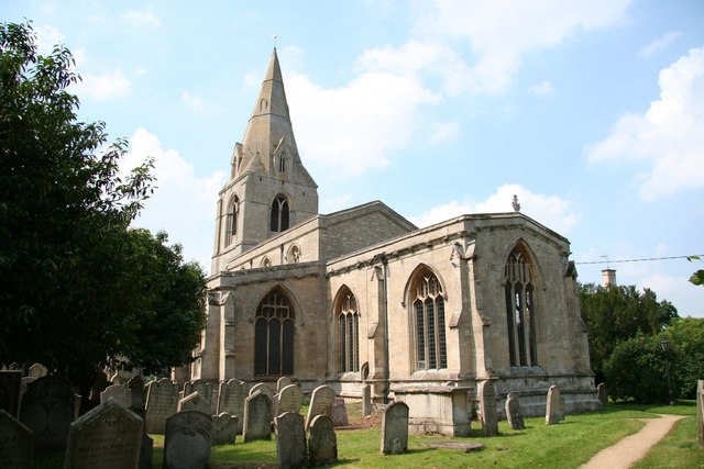
Church of St John the Evangelist, Ryhall

The Church of St John the Evangelist is a church in Ryhall, Rutland. It is a Grade I listed building. == History == The church dates from the early 13th...

Stamford A.F.C.

Stamford Association Football Club is an English association football club based in Stamford, Lincolnshire. They currently compete in the Southern League...

Essendine railway station

Essendine railway station was a station in Essendine, Rutland. It was situated on the East Coast Main Line of the Great Northern Railway. == Overview... ==

Essendine

Essendine is a village and civil parish at the eastern end of the county of Rutland in the East Midlands of England, located 5 miles (7 km) north of Stamford...

Blackstones F.C.

Blackstones Football Club is a football club based in Stamford, Lincolnshire, England. They are currently members of the United Counties League Division...
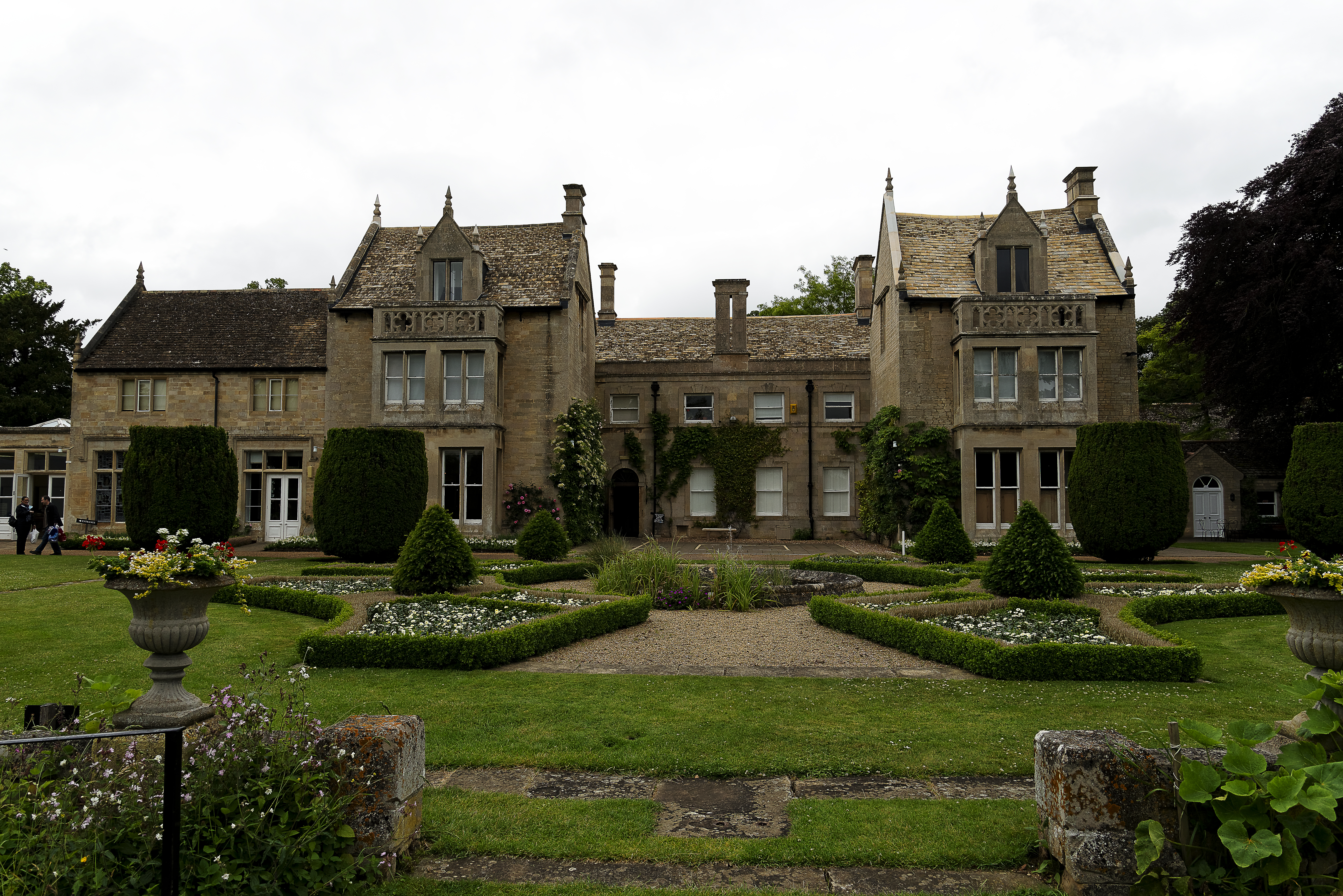
Tolethorpe Hall

Tolethope Hall in the parish of Little Casterton, Rutland, England, PE9 4BH is a country house near Stamford, Lincolnshire at grid reference TF023104...

Related Videos

Evening at the Open Air Theatre 🌞 Tolethorpe Hall Spiders Web!

Welcome to this video and to a summers evening at the open air theatre at Tolethorpe Hall to see Agatha Christie's Spiders Web.

Looking Over My Shoulder by The Wilbur Project

feat.Colin Furze and Tom Lamb as "Brassed Off" Colin's Channel is here (as if you didn't already know !)

Stamford Model Railway Show 2023 Part 3

On the 14th May 2023 I visited the Stamford Model Railway Show which was being held at Stamford Welland Academy near ...

Nearby Amenities

Located within 500m of 52.68002,-0.45479
Belmesthorpe
Place: village
Lat/Long: 52.679778/-0.4585131
Give Way
Source: Bing
Lat/Long: 52.6790885/-0.460125
Ryhal & Belmesthorpe
Alt Name: Ryhall & Belmisthorpe
Historic Railway: station
Railway: site
Wikidata: Q7385059
Wikipedia: en:Ryhall railway station
Lat/Long: 52.6789992/-0.4619012
Pub
Blue Bell Inn
Addr City: Stamford
Addr Country: GB
Addr Place: Belmesthorpe
Addr Postcode: PE9 4JG
Addr Street: Shepherds Walk
Fhrs Authority: Rutland
Fhrs Id: 1153501
Fhrs Local Authority Id: 100088
Wikidata: Q26606354
Lat/Long: 52.6800443/-0.4593873
Give Way
Source: Bing
Lat/Long: 52.6796864/-0.4590853
Give Way
Source: Bing
Lat/Long: 52.6797865/-0.4588816
Give Way
Source: Bing
Lat/Long: 52.6798254/-0.4590049
Give Way
Source: Bing
Lat/Long: 52.6792393/-0.4599987
Give Way
Source: Bing
Lat/Long: 52.6791744/-0.4602698
Give Way
Source: Bing
Lat/Long: 52.6794163/-0.4595409
The data included in this document is from www.openstreetmap.org. The data is made available under ODbL.

Have you been to Belmesthorpe?

Leave your review of Belmesthorpe below (or comments, questions and feedback).