Moel-y-Main

Settlement in Montgomeryshire

Wales

Moel-y-Main

Ordnance Survey Cut Mark This OS cut mark can be found on the south face of Christ Church. It marks a point 153.374m above mean sea level.
Ordnance Survey Cut Mark Credit: Adrian Dust

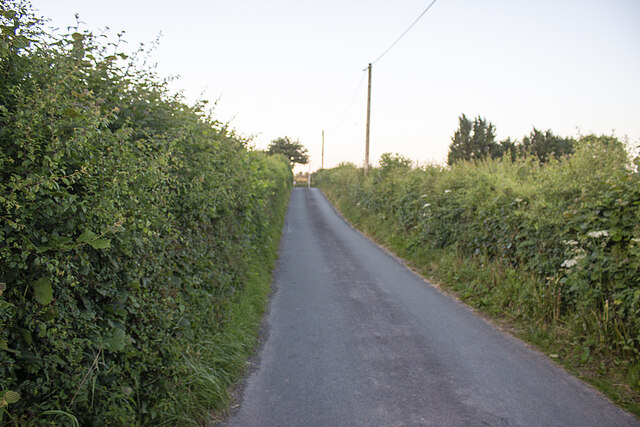
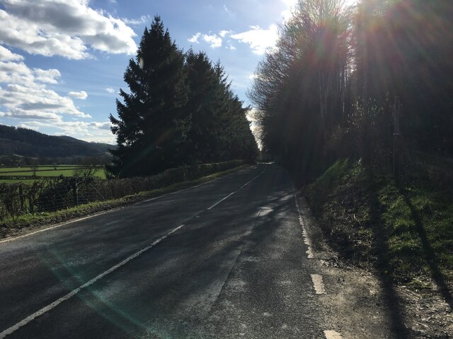
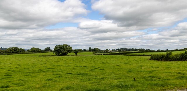
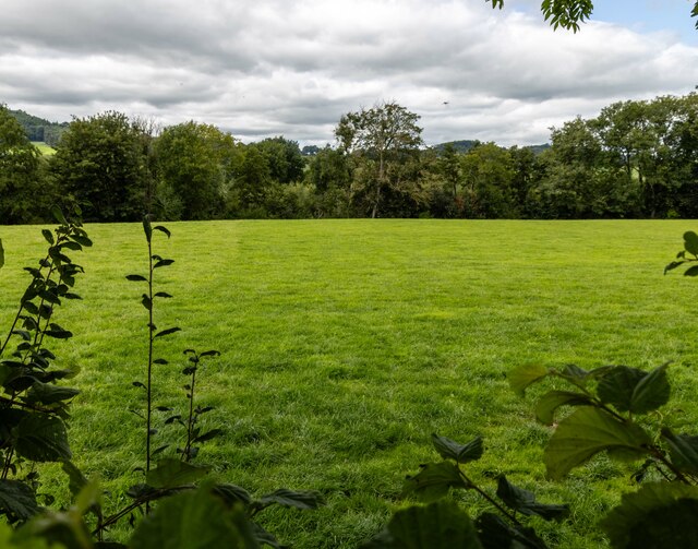
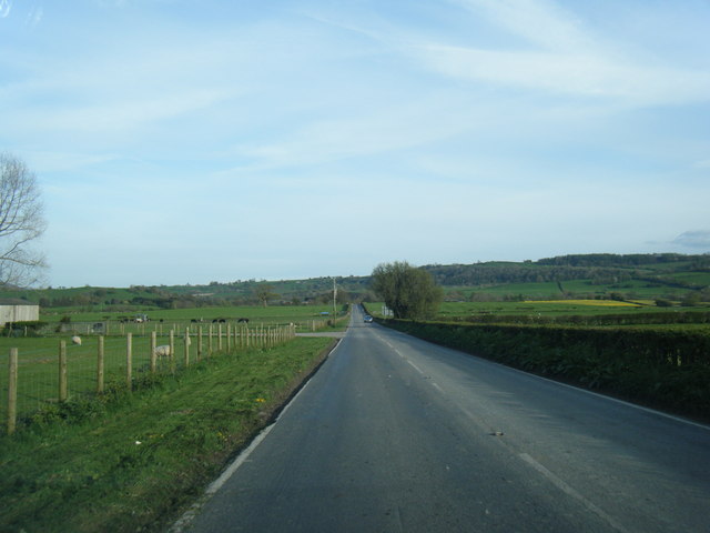
Moel-y-Main is a small village located in the historic county of Montgomeryshire, in Wales, United Kingdom. Situated in the scenic countryside, the village is nestled within the rolling hills and lush green valleys that characterize this picturesque region.

With a population of around 300 residents, Moel-y-Main exudes a peaceful and tight-knit community atmosphere. The village is primarily residential, comprising a cluster of traditional stone cottages and newer houses. The architecture reflects the rural charm of the area, with many buildings boasting slate roofs and wooden beams.

Moel-y-Main is surrounded by natural beauty, making it an appealing destination for nature enthusiasts. The village is located near the border of the Snowdonia National Park, offering residents and visitors easy access to stunning landscapes, hiking trails, and outdoor activities.

Despite its small size, Moel-y-Main has a strong sense of community spirit. The village is home to a local primary school, providing education for the young residents. Additionally, the village hall serves as a hub for various community events and gatherings, fostering a sense of togetherness among the villagers.

While Moel-y-Main is primarily a residential area, there are a few amenities available to locals, including a village pub and a small convenience store. For more extensive shopping or entertainment options, residents typically travel to the nearby towns of Welshpool or Newtown.

Overall, Moel-y-Main offers a tranquil and idyllic countryside setting, making it an attractive place for those seeking a peaceful retreat or a close-knit community to call home.

If you have any feedback on the listing, please let us know in the comments section below.
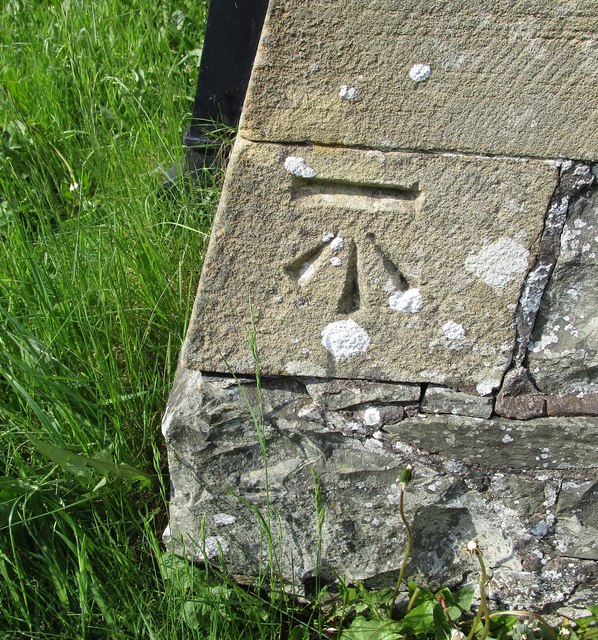
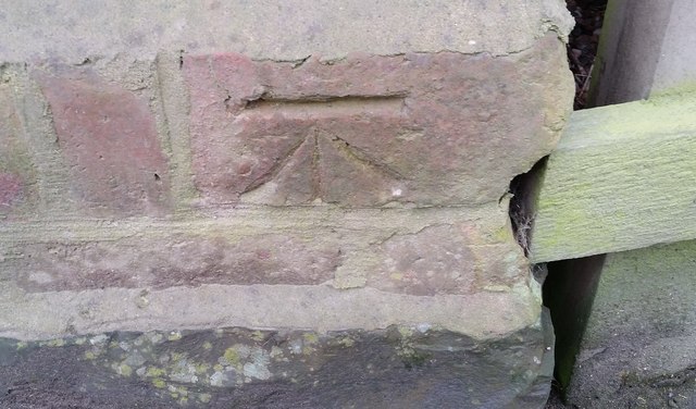
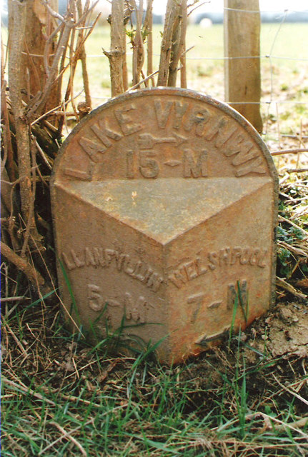
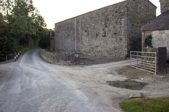
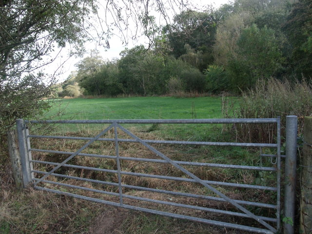
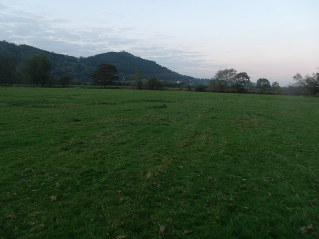
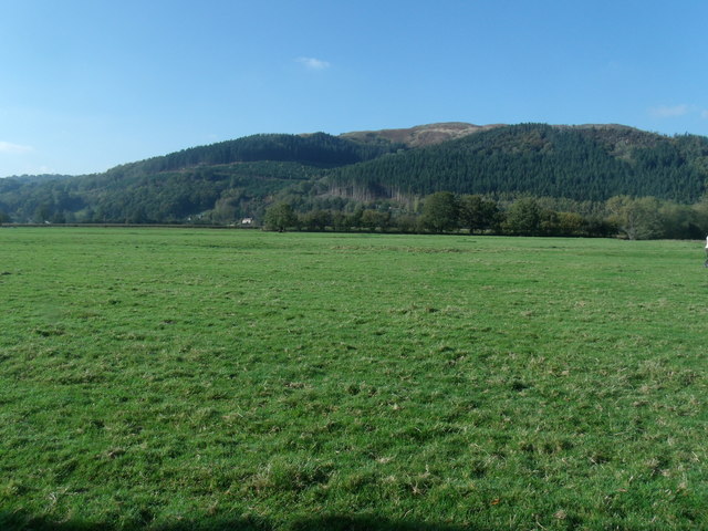
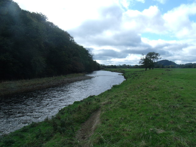
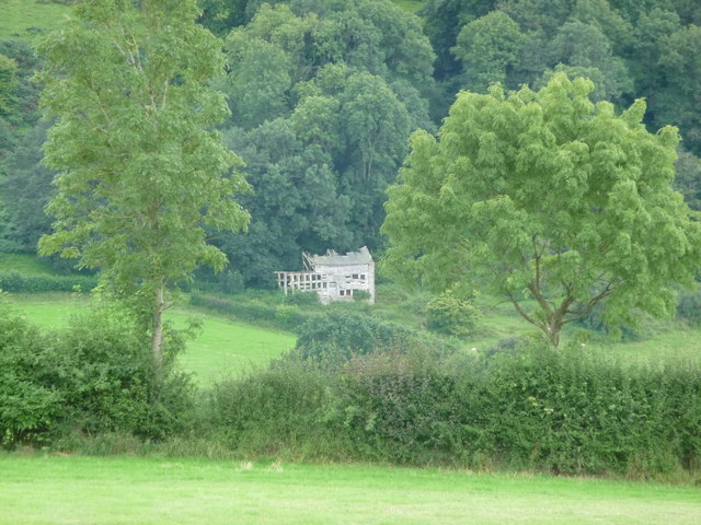
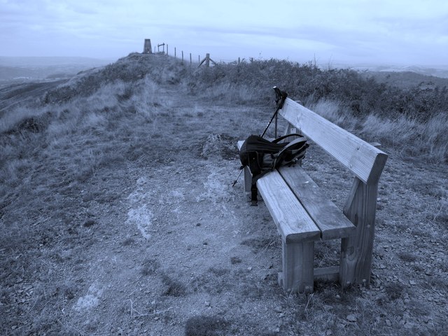
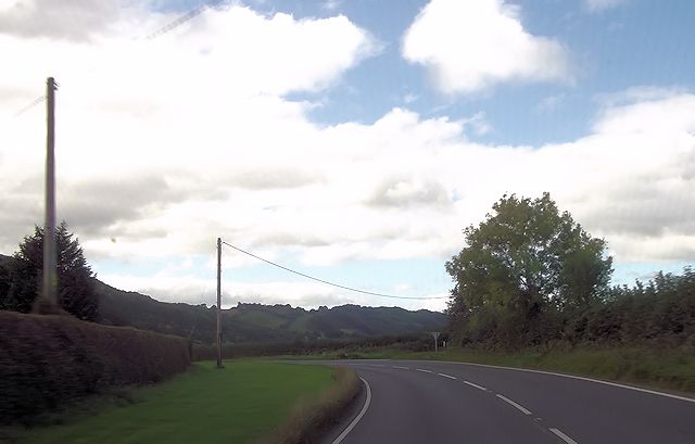
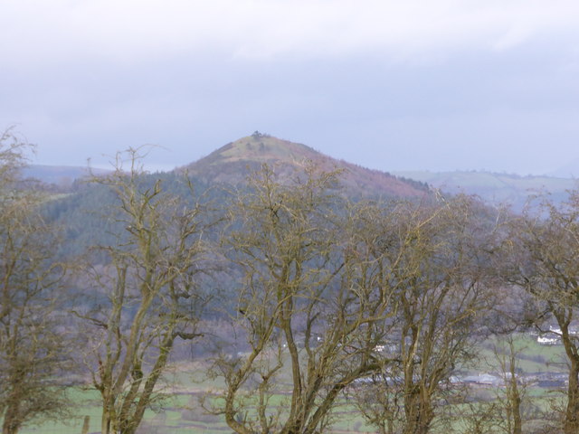
Moel-y-Main Images

Images are sourced within 2km of 52.735025/-3.223313 or Grid Reference SJ1715. Thanks to Geograph Open Source API. All images are credited.

Ordnance Survey Cut Mark This OS cut mark can be found on the south face of Christ Church. It marks a point 153.374m above mean sea level.
Ordnance Survey Cut Mark
This OS cut mark can be found on the south face of Christ Church. It marks a point 153.374m above mean sea level.
Ordnance Survey Cut Mark This OS cut mark can be found on the outbuilding at The Stumble Inn. It marks a point 152.038m above mean sea level.
Ordnance Survey Cut Mark
This OS cut mark can be found on the outbuilding at The Stumble Inn. It marks a point 152.038m above mean sea level.
Old Milepost by the A490, north of Pontysgawrhyd, Meifod Parish Turner Arrow Casting by the A490, in parish of Meifod (Powys District), North of Pontysgawrhyd, in hedge, West side of road.

Inscription reads:-
: LLANFYLLIN / 5-M / {arrow} : : LAKE VYRNWY / {arrow} / 15-M : : WELSHPOOL / 7-M / {arrow} : 

Grade II listed by Cadw. Reference Number: 15992
<span class="nowrap"><a title="https://cadwpublic-api.azurewebsites.net/reports/listedbuilding/FullReport?lang=&id=15992" rel="nofollow ugc noopener" href="https://cadwpublic-api.azurewebsites.net/reports/listedbuilding/FullReport?lang=&id=15992">Link</a><img style="margin-left:2px;" alt="External link" title="External link - shift click to open in new window" src="https://s1.geograph.org.uk/img/external.png" width="10" height="10"/></span>

Surveyed

Milestone Society National ID: MOT_LFWP05.
Old Milepost by the A490, north of Pontysgawrhyd, Meifod Parish
Turner Arrow Casting by the A490, in parish of Meifod (Powys District), North of Pontysgawrhyd, in hedge, West side of road. Inscription reads:- : LLANFYLLIN / 5-M / {arrow} : : LAKE VYRNWY / {arrow} / 15-M : : WELSHPOOL / 7-M / {arrow} : Grade II listed by Cadw. Reference Number: 15992 LinkExternal link Surveyed Milestone Society National ID: MOT_LFWP05.
Cwm Farm Vernacular farm buildings at Cwm Farm
Cwm Farm
Vernacular farm buildings at Cwm Farm
Minor road and hedgerows Minor road approaching A490
Minor road and hedgerows
Minor road approaching A490
Junction of the A495 andA490
A495 towards Meifod
A495 towards Meifod
Cwm Farm Pasture at Cwm Farm.
Cwm Farm
Pasture at Cwm Farm.
Dryll Pool Pasture near Dryll Pool alongside the River Vyrnwy.
Dryll Pool
Pasture near Dryll Pool alongside the River Vyrnwy.
The boundary of Bron-y-Main Looking into the lower fields of Upper Maen, from the Boundary of Bron-y-Main.
The boundary of Bron-y-Main
Looking into the lower fields of Upper Maen, from the Boundary of Bron-y-Main.
Looking towards Upper Maen farm
Looking towards Cae Cwm Taken from Bron-y-Main lower fields.
Looking towards Cae Cwm
Taken from Bron-y-Main lower fields.
The River Vyrnwy from Bron-y-Main
Distant ruin at Tan-yr-allt Ruin on the wood edge.
Distant ruin at Tan-yr-allt
Ruin on the wood edge.
Allt y Main Parked in lay-bye beside A495 then into forest via bridleway. Then way marked path directly up through wood until forest track is reach and this can be followed round hill until summit. Clear frosty morning.
Name: Allt y Main
Hill number: 2134
Height: 356m / 1168ft
Area: 30E: Bala to Welshpool
Class: Ma
Grid ref: SJ 16214 15149
Summit feature: trig point
Drop: 171m
Col: 185m  SJ156156
Allt y Main
Parked in lay-bye beside A495 then into forest via bridleway. Then way marked path directly up through wood until forest track is reach and this can be followed round hill until summit. Clear frosty morning. Name: Allt y Main Hill number: 2134 Height: 356m / 1168ft Area: 30E: Bala to Welshpool Class: Ma Grid ref: SJ 16214 15149 Summit feature: trig point Drop: 171m Col: 185m SJ156156
Cil-bach junction from A490
Hill across the Vyrnwy valley The valley is often full of great views.
Hill across the Vyrnwy valley
The valley is often full of great views.
A490 near Ystym Colwyn farm
Show me another place!

Moel-y-Main is located at Grid Ref: SJ1715 (Lat: 52.735025, Lng: -3.223313)

Unitary Authority: Powys

Police Authority: Dyfed Powys

What 3 Words

///kickbacks.providing.vets. Near Llanfechain, Powys

Related Wikis

Allt-y-Main

Allt-y-Main is a hamlet in the community of Meifod, Powys, Wales, which is 86 miles (139 km) from Cardiff and 156 miles (252 km) from London. == References... ==

Bwlch-y-cibau

Bwlch-y-cibau (Welsh for 'pass of the husks') is a small village located between Llanfyllin and Welshpool. It is situated on the A490. It is in the community...

Bryngwyn Halt railway station

Bryngwyn Halt railway station is a disused station that was on the Llanfyllin Branch of the Cambrian Railways. It served the villages of Bwlch-y-cibau...

Meifod

Meifod, formerly also written Meivod (), is a small village, community and electoral ward seven miles (11 km) north-west of Welshpool in Montgomeryshire...

Nearby Amenities

Located within 500m of 52.735025,-3.223313
Give Way
Direction: forward
Lat/Long: 52.7339177/-3.2163201
Moel Y Main
Ele: 305
Natural: peak
Lat/Long: 52.7346754/-3.2238157
The data included in this document is from www.openstreetmap.org. The data is made available under ODbL.

Have you been to Moel-y-Main?

Leave your review of Moel-y-Main below (or comments, questions and feedback).