Moel y Main

Hill, Mountain in Montgomeryshire

Wales

Moel y Main

Junction of the A495 andA490
Junction of the A495 andA490 Credit: Steven Brown

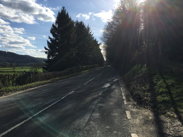
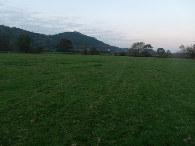
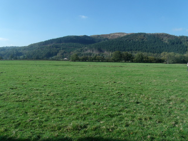
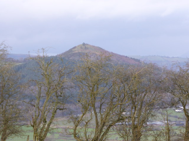
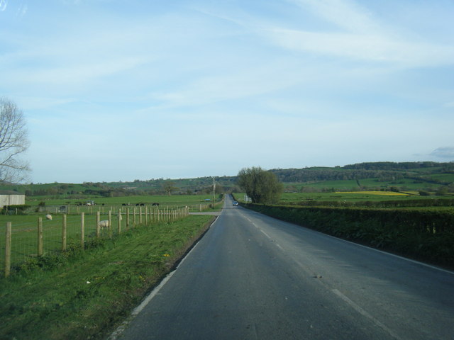
Moel y Main is a prominent hill located in Montgomeryshire, Wales. Rising to an elevation of approximately 462 meters (1,516 feet), it forms part of the wider Berwyn range of hills. Situated near the village of Llangynog, Moel y Main offers breathtaking panoramic views of the surrounding countryside.

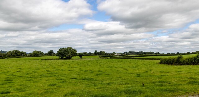
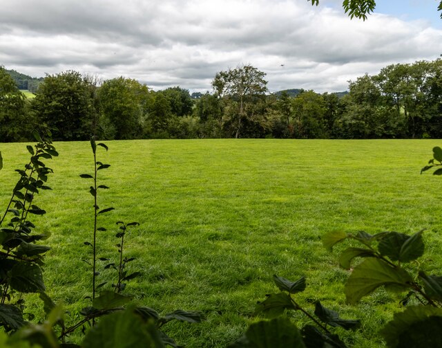
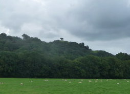
The hill is predominantly composed of sedimentary rocks, with layers of sandstone and shale visible on its slopes. Its topography is characterized by rolling hills and gentle gradients, making it a popular destination for hikers and nature enthusiasts. The hill is adorned with a variety of flora and fauna, including heather, gorse, and bilberry bushes, providing a picturesque landscape throughout the year.

Moel y Main is known for its rich history, with evidence of human activity dating back thousands of years. Archaeological remains, including burial cairns and ancient settlements, can be found on its lower slopes, highlighting its significance as a cultural heritage site. Moreover, the hill has been a site of geological interest, attracting geologists who study its rock formations and geological processes.

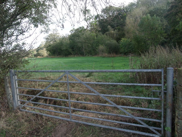
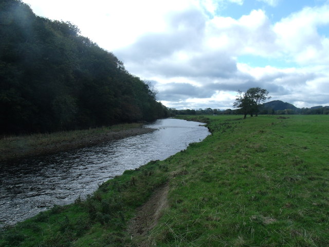
Accessible trails and footpaths lead visitors to the summit, where they can enjoy breathtaking views of the surrounding Montgomeryshire countryside, including the nearby River Tanat and the Cwm Hirnant valley. Moel y Main offers a peaceful and serene environment, making it a popular destination for those seeking solitude and a connection with nature.

Overall, Moel y Main stands as a testament to the natural beauty and historical significance of Montgomeryshire, offering visitors an opportunity to explore and appreciate the region's diverse landscape and rich heritage.

If you have any feedback on the listing, please let us know in the comments section below.
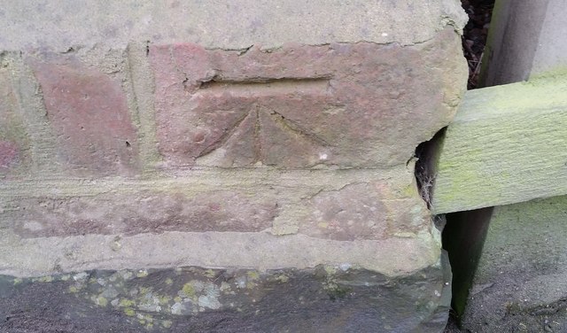
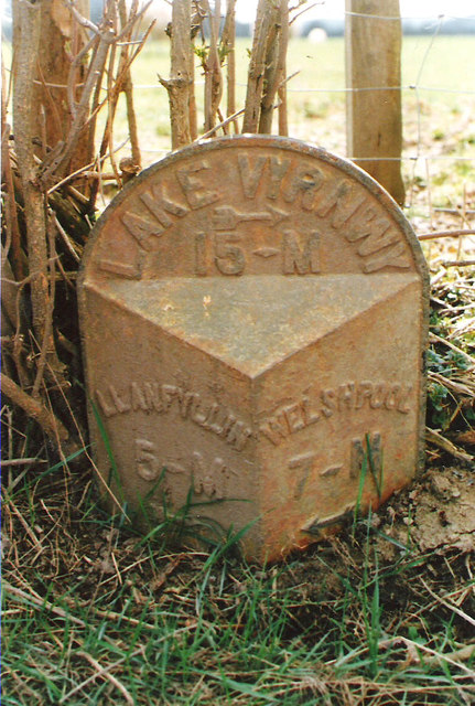
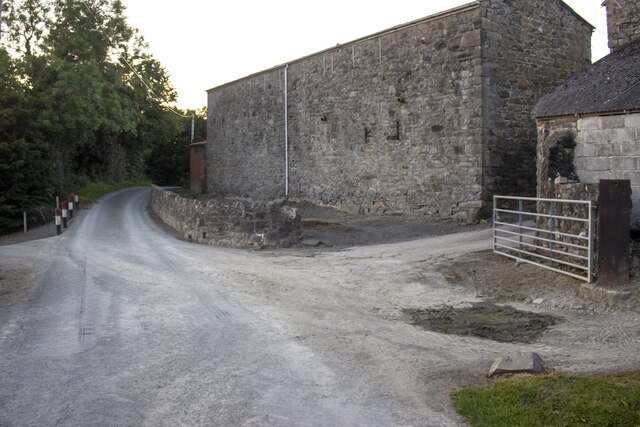
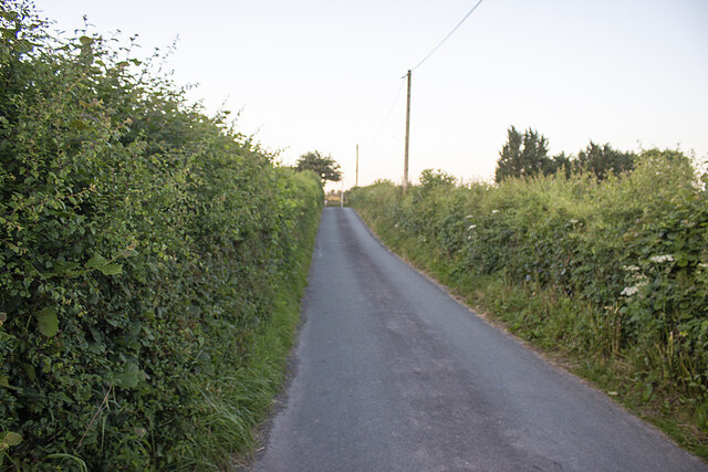
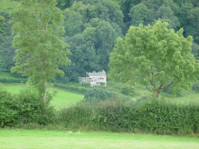
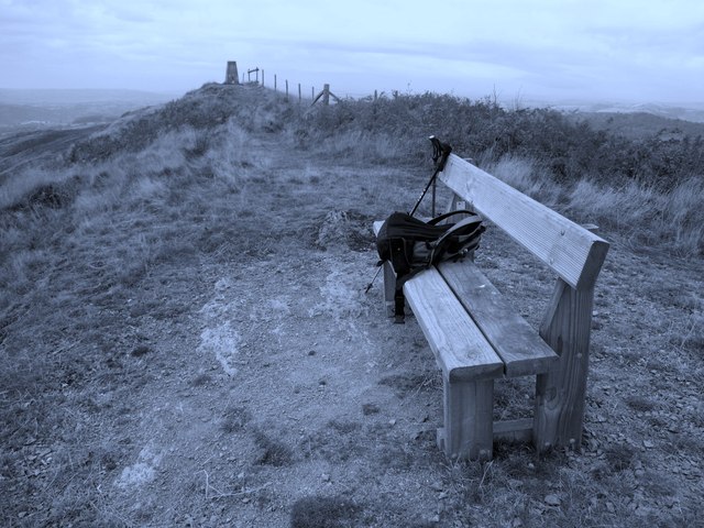
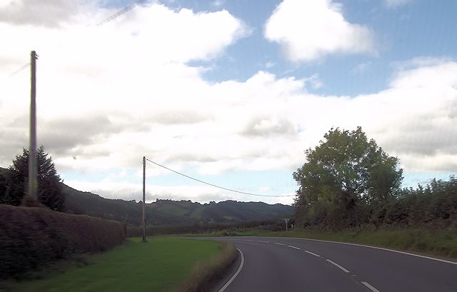
Moel y Main Images

Images are sourced within 2km of 52.734791/-3.2236418 or Grid Reference SJ1715. Thanks to Geograph Open Source API. All images are credited.

Junction of the A495 andA490
A495 towards Meifod
A495 towards Meifod
Cwm Farm Pasture at Cwm Farm.
Cwm Farm
Pasture at Cwm Farm.
Dryll Pool Pasture near Dryll Pool alongside the River Vyrnwy.
Dryll Pool
Pasture near Dryll Pool alongside the River Vyrnwy.
Ordnance Survey Cut Mark This OS cut mark can be found on the south face of Christ Church. It marks a point 153.374m above mean sea level.
Ordnance Survey Cut Mark
This OS cut mark can be found on the south face of Christ Church. It marks a point 153.374m above mean sea level.
Ordnance Survey Cut Mark This OS cut mark can be found on the outbuilding at The Stumble Inn. It marks a point 152.038m above mean sea level.
Ordnance Survey Cut Mark
This OS cut mark can be found on the outbuilding at The Stumble Inn. It marks a point 152.038m above mean sea level.
Old Milepost by the A490, north of Pontysgawrhyd, Meifod Parish Turner Arrow Casting by the A490, in parish of Meifod (Powys District), North of Pontysgawrhyd, in hedge, West side of road.

Inscription reads:-
: LLANFYLLIN / 5-M / {arrow} : : LAKE VYRNWY / {arrow} / 15-M : : WELSHPOOL / 7-M / {arrow} : 

Grade II listed by Cadw. Reference Number: 15992
<span class="nowrap"><a title="https://cadwpublic-api.azurewebsites.net/reports/listedbuilding/FullReport?lang=&id=15992" rel="nofollow ugc noopener" href="https://cadwpublic-api.azurewebsites.net/reports/listedbuilding/FullReport?lang=&id=15992">Link</a><img style="margin-left:2px;" alt="External link" title="External link - shift click to open in new window" src="https://s1.geograph.org.uk/img/external.png" width="10" height="10"/></span>

Surveyed

Milestone Society National ID: MOT_LFWP05.
Old Milepost by the A490, north of Pontysgawrhyd, Meifod Parish
Turner Arrow Casting by the A490, in parish of Meifod (Powys District), North of Pontysgawrhyd, in hedge, West side of road. Inscription reads:- : LLANFYLLIN / 5-M / {arrow} : : LAKE VYRNWY / {arrow} / 15-M : : WELSHPOOL / 7-M / {arrow} : Grade II listed by Cadw. Reference Number: 15992 LinkExternal link Surveyed Milestone Society National ID: MOT_LFWP05.
Cwm Farm Vernacular farm buildings at Cwm Farm
Cwm Farm
Vernacular farm buildings at Cwm Farm
Minor road and hedgerows Minor road approaching A490
Minor road and hedgerows
Minor road approaching A490
The boundary of Bron-y-Main Looking into the lower fields of Upper Maen, from the Boundary of Bron-y-Main.
The boundary of Bron-y-Main
Looking into the lower fields of Upper Maen, from the Boundary of Bron-y-Main.
Looking towards Upper Maen farm
Looking towards Cae Cwm Taken from Bron-y-Main lower fields.
Looking towards Cae Cwm
Taken from Bron-y-Main lower fields.
The River Vyrnwy from Bron-y-Main
Distant ruin at Tan-yr-allt Ruin on the wood edge.
Distant ruin at Tan-yr-allt
Ruin on the wood edge.
Allt y Main Parked in lay-bye beside A495 then into forest via bridleway. Then way marked path directly up through wood until forest track is reach and this can be followed round hill until summit. Clear frosty morning.
Name: Allt y Main
Hill number: 2134
Height: 356m / 1168ft
Area: 30E: Bala to Welshpool
Class: Ma
Grid ref: SJ 16214 15149
Summit feature: trig point
Drop: 171m
Col: 185m  SJ156156
Allt y Main
Parked in lay-bye beside A495 then into forest via bridleway. Then way marked path directly up through wood until forest track is reach and this can be followed round hill until summit. Clear frosty morning. Name: Allt y Main Hill number: 2134 Height: 356m / 1168ft Area: 30E: Bala to Welshpool Class: Ma Grid ref: SJ 16214 15149 Summit feature: trig point Drop: 171m Col: 185m SJ156156
Cil-bach junction from A490
Hill across the Vyrnwy valley The valley is often full of great views.
Hill across the Vyrnwy valley
The valley is often full of great views.
A490 near Ystym Colwyn farm
Show me another place!

Moel y Main is located at Grid Ref: SJ1715 (Lat: 52.734791, Lng: -3.2236418)

Unitary Authority: Powys

Police Authority: Dyfed Powys

What 3 Words

///perch.simple.balanced. Near Llanfechain, Powys

Related Wikis

Allt-y-Main

Allt-y-Main is a hamlet in the community of Meifod, Powys, Wales, which is 86 miles (139 km) from Cardiff and 156 miles (252 km) from London. == References... ==

Bwlch-y-cibau

Bwlch-y-Cibau also known as the "pass of the husks" in English, is a small village located between Llanfyllin and Welshpool. It is situated on the A490...

Bryngwyn Halt railway station

Bryngwyn Halt railway station is a disused station that was on the Llanfyllin Branch of the Cambrian Railways. It served the villages of Bwlch-y-cibau...

Meifod

Meifod, formerly also written Meivod (), is a small village, community and electoral ward 7 miles north-west of Welshpool in Montgomeryshire, Powys, Wales...

Lonely Tree

The Lonely Tree was a Scots pine on a hill near Llanfyllin, Powys, Wales. Visible from much of the town it was a local landmark with several traditions...

Llanfyllin railway station

Llanfyllin railway station is the former terminal station of the Llanfyllin Branch of Cambrian Railways, which served the town of Llanfyllin in Powys,...

Dogfeiling

Dogfeiling was a minor sub-kingdom and later a commote in north Wales. It formed part of the eastern border of the Kingdom of Gwynedd in early medieval...

Llanfyllin High School

Llanfyllin High School (Welsh: Ysgol Uwchradd Llanfyllin) was a bilingual secondary school situated in the mid-Wales town of Llanfyllin. As of its final...

Nearby Amenities

Located within 500m of 52.734791,-3.2236418
Moel Y Main
Ele: 305
Natural: peak
Lat/Long: 52.7346754/-3.2238157
Turning Loop
Lat/Long: 52.7304662/-3.2222835
The data included in this document is from www.openstreetmap.org. The data is made available under ODbL.

Have you been to Moel y Main?

Leave your review of Moel y Main below (or comments, questions and feedback).