Bell's Close
Settlement in Northumberland
England
Bell's Close

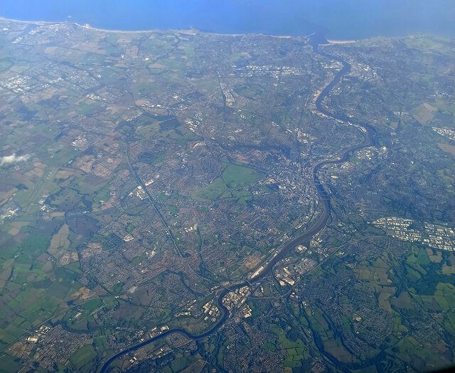
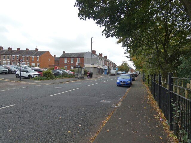
Bell's Close is a small village located in the county of Northumberland, England. Situated in the northern part of the county, it is surrounded by picturesque countryside and is known for its tranquil and idyllic setting.
The village is characterized by its charming stone-built houses, which date back several centuries and add to the area's historic appeal. Bell's Close is a close-knit community, with a population of around 200 residents. The village boasts a warm and welcoming atmosphere, with friendly locals who take pride in their community.
Despite its small size, Bell's Close has a few amenities to cater to the needs of its residents. The village has a local pub, which serves as a social hub and gathering place for both locals and visitors alike. The pub offers a range of traditional pub food and drinks, providing a cozy and relaxed environment for patrons.
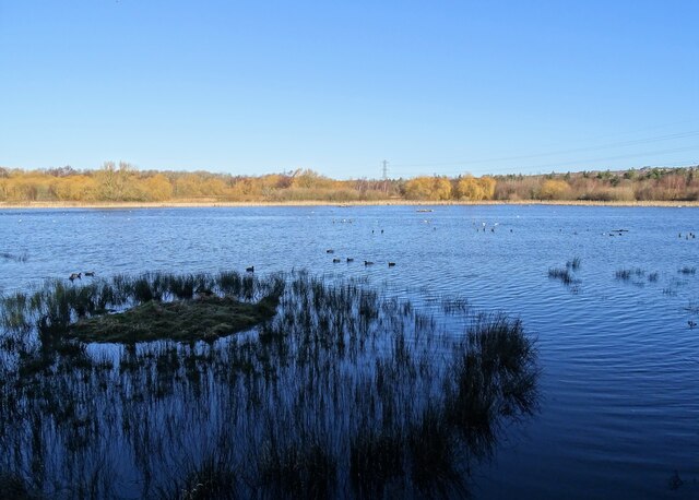
Surrounded by the stunning Northumberland countryside, Bell's Close is a haven for nature enthusiasts. The village is near to several walking trails and nature reserves, allowing residents to explore and enjoy the beautiful scenery that this region has to offer. The area is also known for its diverse wildlife, including various bird species, making it an ideal spot for birdwatchers.
Overall, Bell's Close is a charming village that offers a peaceful and picturesque setting. With its historic buildings, friendly community, and proximity to nature, it is a place that appeals to those seeking a tranquil lifestyle in the heart of Northumberland.
If you have any feedback on the listing, please let us know in the comments section below.
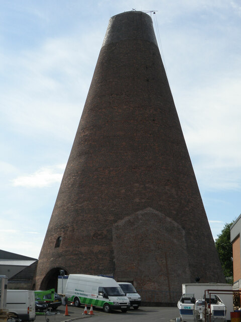
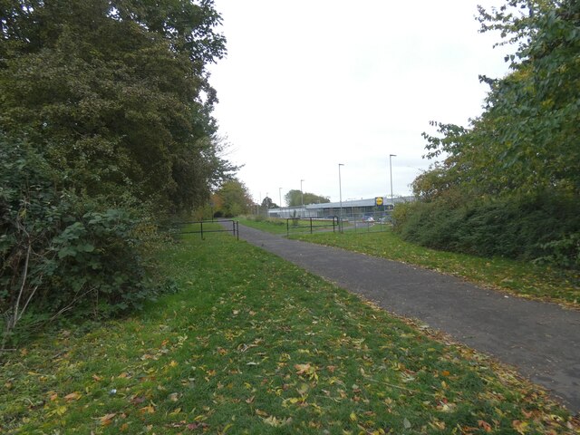
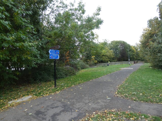
Bell's Close Images
Images are sourced within 2km of 54.970261/-1.7047384 or Grid Reference NZ1964. Thanks to Geograph Open Source API. All images are credited.


Bell's Close is located at Grid Ref: NZ1964 (Lat: 54.970261, Lng: -1.7047384)
Unitary Authority: Newcastle upon Tyne
Police Authority: Northumbria
What 3 Words
///venues.causes.move. Near Blaydon-on-Tyne, Tyne & Wear
Nearby Locations
Related Wikis

Anglo Great Lakes Graphite Plant
The Anglo Great Lakes Graphite Plant was a large graphite works situated in the North East of England. It was positioned at Lemington in Newcastle upon...
Lemington railway station
Lemington railway station served the district of Lemington, Newcastle-upon-Tyne, England from 1875 to 1964 on the Tyne Valley Line. == History == The station...
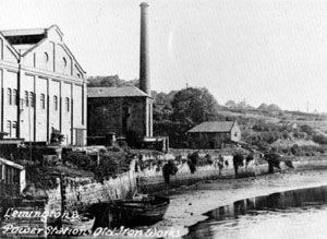
Lemington Power Station
Lemington Power Station was a small, now demolished coal-fired power station, located in North East England. It was situated on the Lemington Gut, a backwater...

Blaydon railway station
Blaydon is a railway station on the Tyne Valley Line, which runs between Newcastle and Carlisle via Hexham. The station, situated 5 miles 39 chains (5...
Newcastle Blue Star F.C.
Newcastle Blue Star F.C. is a football club based in Newcastle upon Tyne, England. It was established in 1930 and joined the Wearside League in 1973. In...
Excelsior Academy
Excelsior Academy is a mixed all-through school and sixth form. It was opened in September 2008 as a replacement for the Westgate Community College and...
Sugley
Sugley is an area of Newcastle upon Tyne adjacent to Lemington in North East England: its parish church is Holy Saviour, Sugley. == References ==

Lemington
Lemington is an area and electoral ward of Newcastle upon Tyne in North East England. == History == Lemington has a strong industrial history. It is famous...
Nearby Amenities
Located within 500m of 54.970261,-1.7047384Have you been to Bell's Close?
Leave your review of Bell's Close below (or comments, questions and feedback).