Mintlaw Station
Settlement in Aberdeenshire
Scotland
Mintlaw Station
Mintlaw Station is a charming village located in the Aberdeenshire region of Scotland. Situated approximately 30 miles north of Aberdeen, the village is nestled amidst picturesque countryside and offers a tranquil escape from the bustling city life.
The village takes its name from the nearby Mintlaw Castle, a historic landmark that dates back to the 16th century. Mintlaw Station is known for its rich agricultural heritage, with vast farmlands and rolling hills surrounding the area. The village is also home to a small but tight-knit community that takes great pride in preserving its traditions and culture.
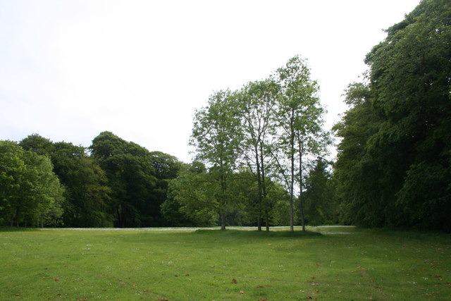
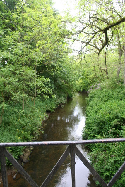
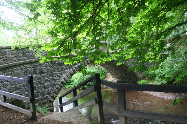
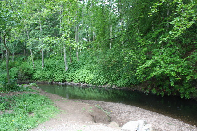
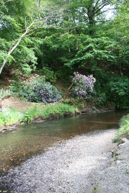
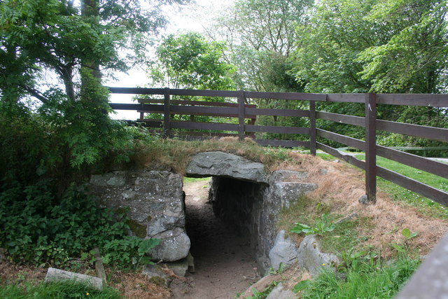
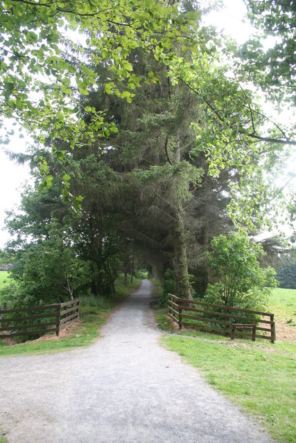
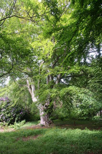
Despite its small size, Mintlaw Station boasts a range of amenities and services for residents and visitors alike. The village is home to a primary school, a community center, and a local grocery store, ensuring that the basic needs of its inhabitants are well catered to. The nearby Aden Country Park offers a wonderful recreational area for outdoor enthusiasts, with its beautiful gardens, woodland trails, and a picturesque lake.
Mintlaw Station is conveniently located near several major transport links. The A952 road connects the village to Aberdeen and other nearby towns, making it easily accessible by car. Additionally, the village has its own train station, providing a direct connection to Aberdeen and other cities in Scotland.
Overall, Mintlaw Station is a delightful village that offers a peaceful and idyllic setting for residents and visitors, with its stunning countryside, rich history, and strong sense of community.
If you have any feedback on the listing, please let us know in the comments section below.
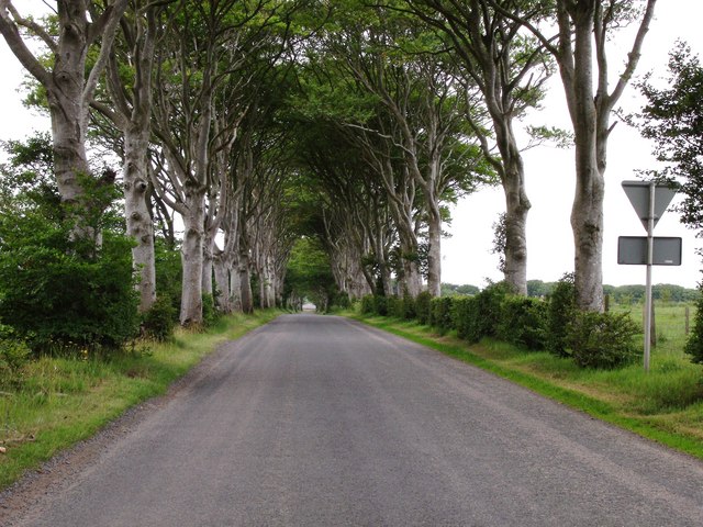
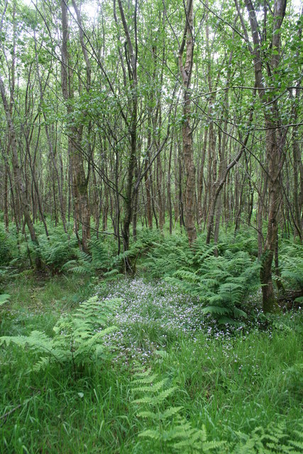
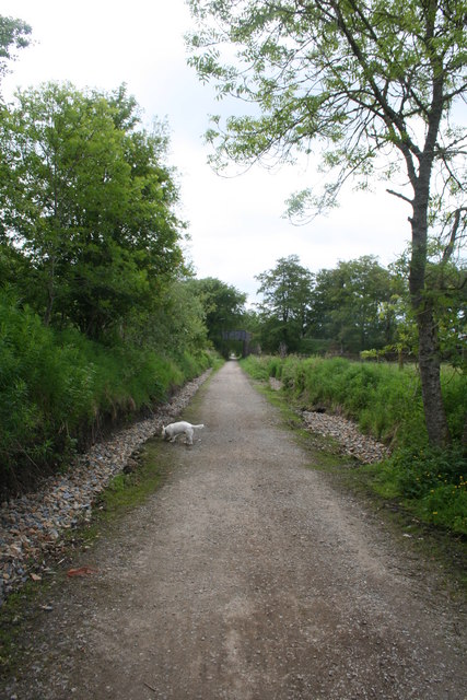
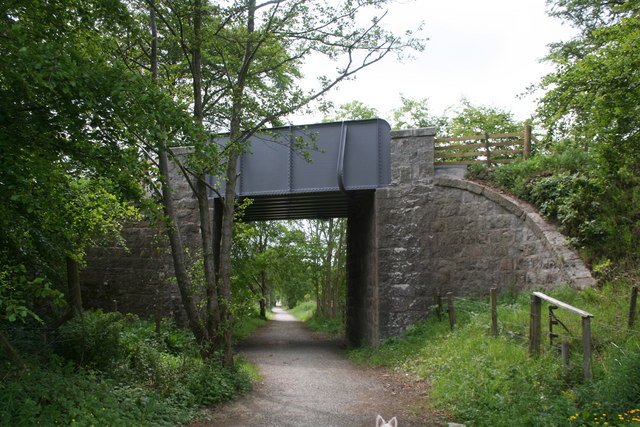
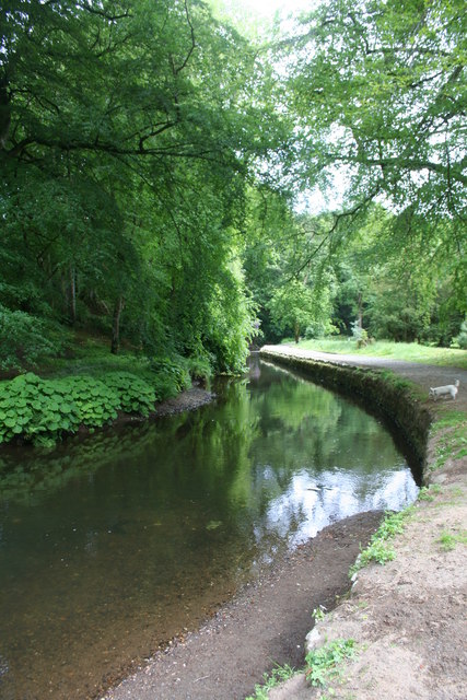
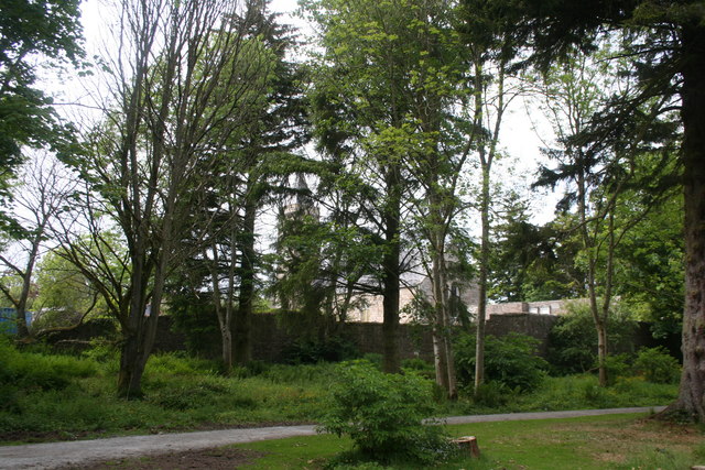
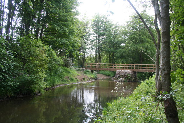
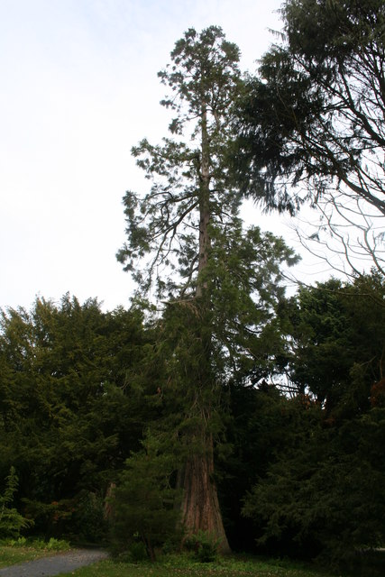
Mintlaw Station Images
Images are sourced within 2km of 57.522162/-2.0350459 or Grid Reference NJ9848. Thanks to Geograph Open Source API. All images are credited.
Mintlaw Station is located at Grid Ref: NJ9848 (Lat: 57.522162, Lng: -2.0350459)
Unitary Authority: Aberdeenshire
Police Authority: North East
What 3 Words
///royal.movement.steepest. Near Mintlaw, Aberdeenshire
Nearby Locations
Related Wikis

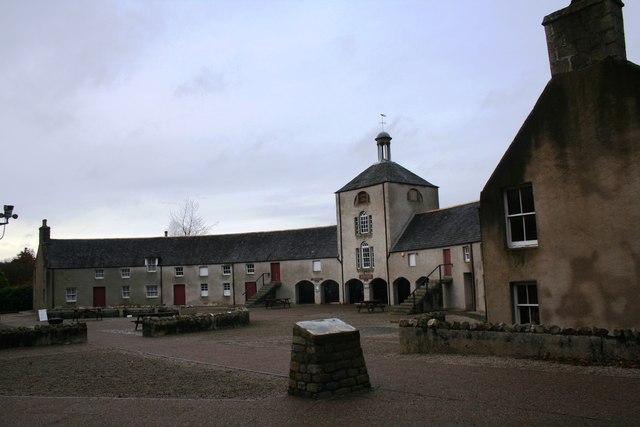
Aden Country Park
Aden Country Park is located in Mintlaw, Aberdeenshire, Scotland, first mentioned in the 10th-century Book of Deer. The park has a caravan area with camping...
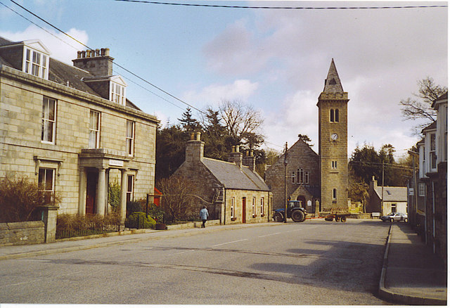
Old Deer
Old Deer (Scots: Auld Deer, Scottish Gaelic: Dèir) is a parish and village in the district of Buchan, Aberdeenshire, Scotland. The population in 2011 was...

Mintlaw railway station
Mintlaw railway station was a railway station in Mintlaw, Aberdeenshire (Scotland). == History == The 29 mile long railway from Dyce to Mintlaw opened...
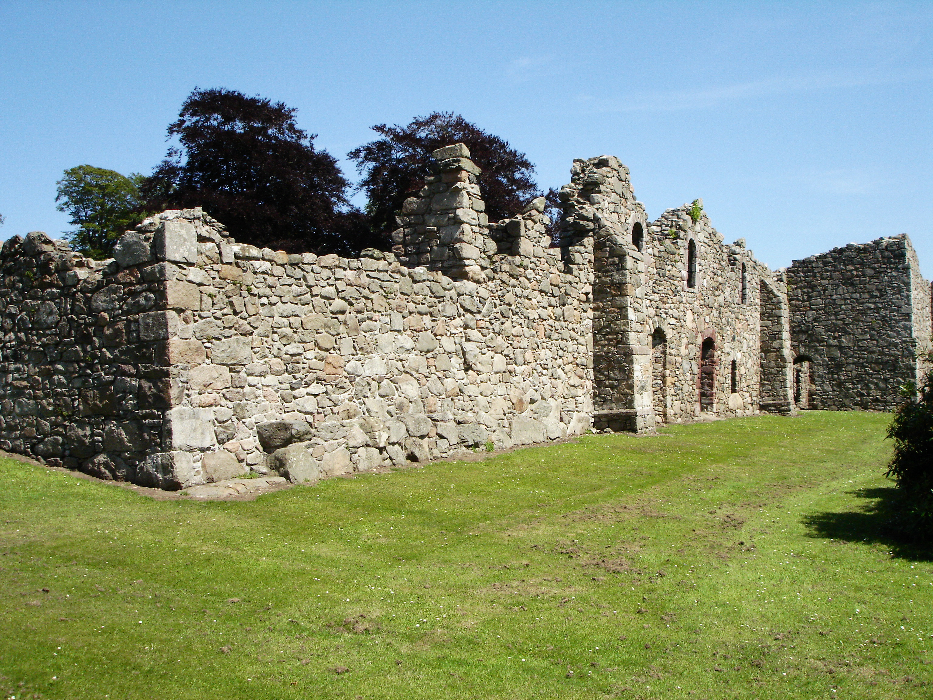
Deer Abbey
Deer Abbey was a Cistercian monastery in Buchan, Scotland. It was founded by 1219 under the patronage William Comyn, jure uxoris Earl of Buchan, who is...

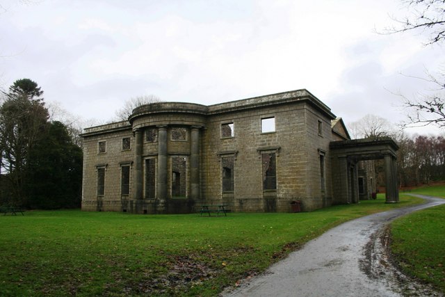
Pitfour estate
The Pitfour Estate, in the Buchan area of North-East Scotland, was an ancient barony encompassing most of the extensive Longside Parish, stretching from...

Mintlaw Academy
Mintlaw Academy is a secondary school in Aberdeenshire, Scotland. == History == The school opened in 1981 with about 600 enrolled students and a capacity...
Abbey of Deer Platform railway station
Abbey of Deer Platform was a small railway station on the branch line from Maud to Peterhead in the Scottish county of Aberdeenshire. == History == The...

Mintlaw
Mintlaw (literally meaning a smooth, flat place) is a large village in Aberdeenshire, Scotland lying along the A952 road and is geographically a route...
Nearby Amenities
Located within 500m of 57.522162,-2.0350459Have you been to Mintlaw Station?
Leave your review of Mintlaw Station below (or comments, questions and feedback).