Dunshillock

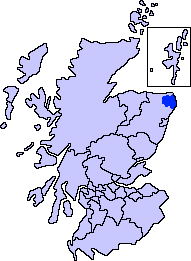
Settlement in Aberdeenshire

Scotland

Dunshillock

Beeches alley near Mintlaw
Beeches alley near Mintlaw Credit: Astrid H

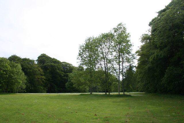
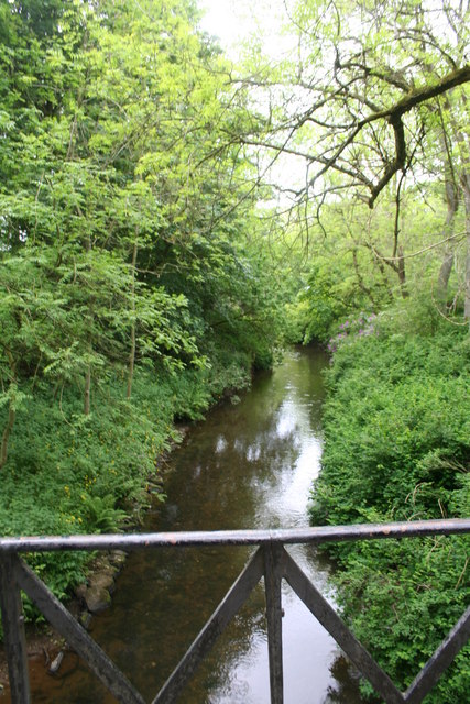
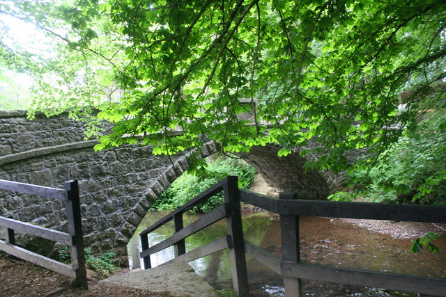
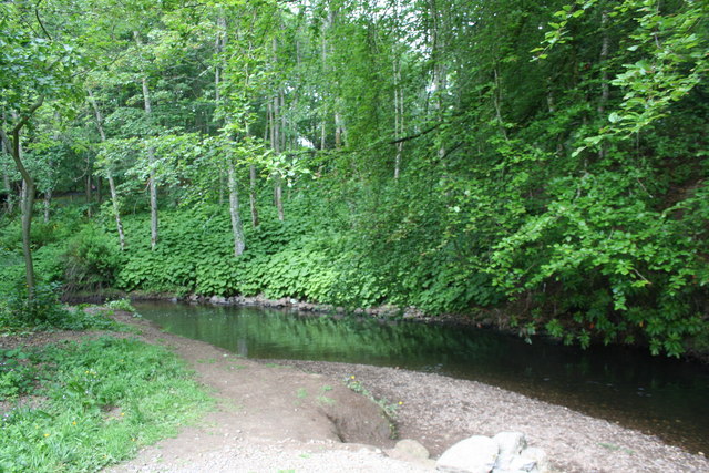
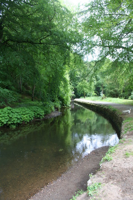
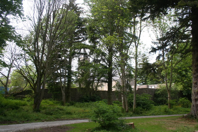
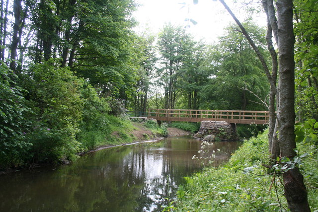
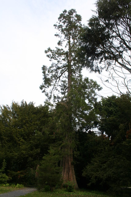
Dunshillock is a small village located in the Aberdeenshire region of Scotland. Situated in the northeast part of the country, it is nestled among picturesque rolling hills and lush green landscapes. The village is surrounded by the natural beauty of the Aberdeenshire countryside, making it an idyllic location for those seeking tranquility and a connection with nature.

Dunshillock is a close-knit community with a population of approximately 500 residents. The village is known for its friendly and welcoming atmosphere, with neighbors often gathering for social events and community activities. The locals take great pride in maintaining the village's charm and character, evident in the well-preserved traditional stone houses and buildings that line the streets.

Despite its small size, Dunshillock offers a range of amenities to its residents. The village has a local grocery store, post office, and a few small shops catering to the everyday needs of the community. Additionally, there is a primary school, providing education for children in the area.

One of the highlights of Dunshillock is its proximity to various outdoor recreational opportunities. The village is a gateway to the Cairngorms National Park, offering residents and visitors the chance to explore stunning hiking trails, go fishing in nearby lochs, or simply enjoy the breathtaking views.

Overall, Dunshillock is a charming and peaceful village that provides a serene retreat for those seeking a slower pace of life in the beautiful Scottish countryside.

If you have any feedback on the listing, please let us know in the comments section below.
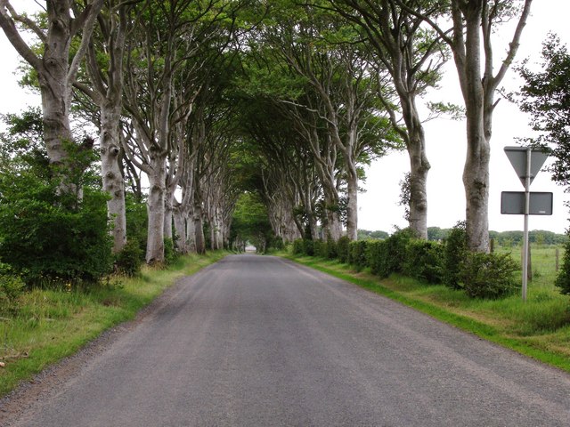
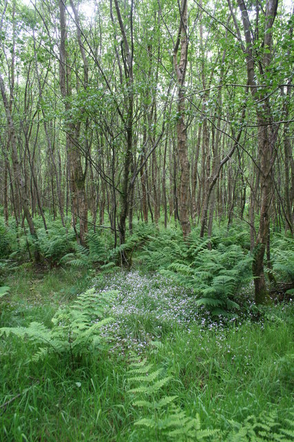
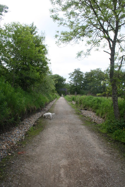
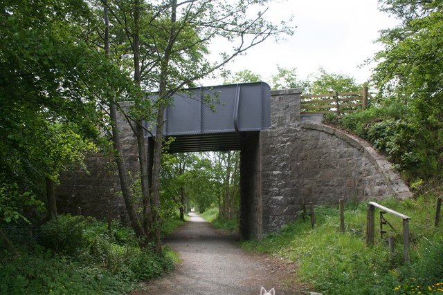
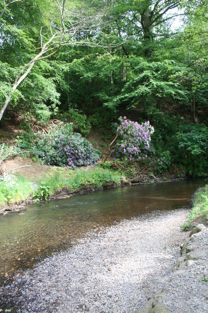
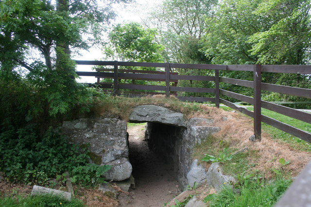
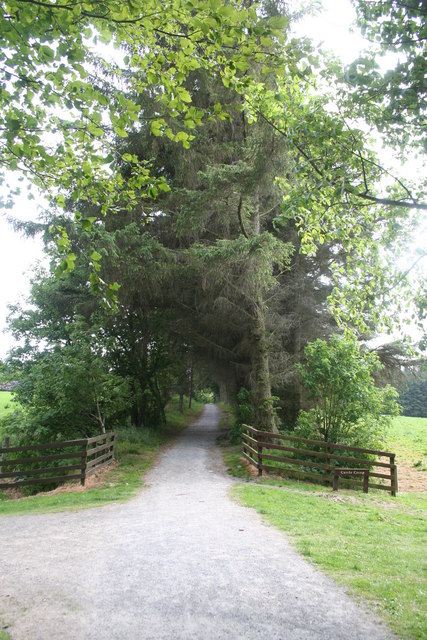
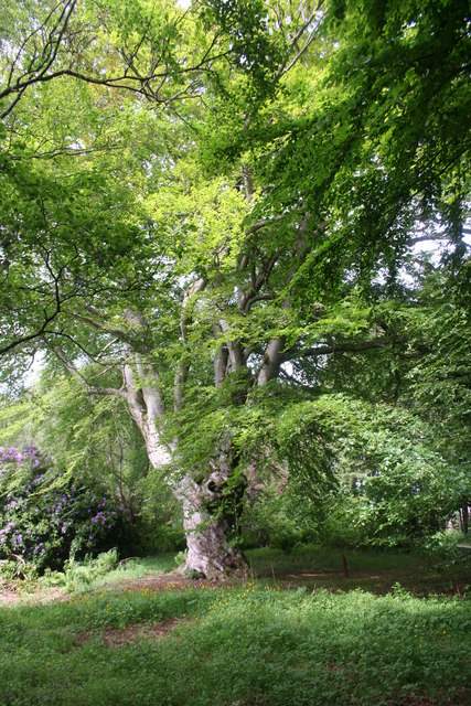
Dunshillock Images

Images are sourced within 2km of 57.528532/-2.0267363 or Grid Reference NJ9848. Thanks to Geograph Open Source API. All images are credited.

Beeches alley near Mintlaw
Aden Woodland Birch woodland at Aden by the old railway line.
Aden Woodland
Birch woodland at Aden by the old railway line.
Formartine and Buchan Line The long redundant Buchan Line railbed converted into a walkway.
Formartine and Buchan Line
The long redundant Buchan Line railbed converted into a walkway.
Deer Bridge A roadbridge, carrying the B9030 to Old Deer, over the Buchan Line Walkway near Aden.
Deer Bridge
A roadbridge, carrying the B9030 to Old Deer, over the Buchan Line Walkway near Aden.
Aden Parkland Open parkland and woodland at the edge of Aden Country Park.
Aden Parkland
Open parkland and woodland at the edge of Aden Country Park.
South Ugie Water The South Ugie near Old Deer from a footbridge in Aden Park.
South Ugie Water
The South Ugie near Old Deer from a footbridge in Aden Park.
Steps to the Bridge Steps by a footbridge over the South Ugie at Aden.
Steps to the Bridge
Steps by a footbridge over the South Ugie at Aden.
Ugie Bank A riverbank scene as the South Ugie flows through Woodland in aden Park.
Ugie Bank
A riverbank scene as the South Ugie flows through Woodland in aden Park.
Bend on the Ugie A bend of the South Ugie near Old Deer in Aden Park.
Bend on the Ugie
A bend of the South Ugie near Old Deer in Aden Park.
Kirk through Trees Old Deer Kirk seen through woodland in Aden Park.
Kirk through Trees
Old Deer Kirk seen through woodland in Aden Park.
Ugie Footbridge A wooden foodbridge over the South Ugie by Old Deer.
Ugie Footbridge
A wooden foodbridge over the South Ugie by Old Deer.
Aden Redwood A Redwood at Aden Park in the arboreum.
Aden Redwood
A Redwood at Aden Park in the arboreum.
Ugie Bend A bend on the South Ugie on its meander through Aden Park.
Ugie Bend
A bend on the South Ugie on its meander through Aden Park.
Path Underpass A different approach to crossing paths and fun to children,of all ages!
Path Underpass
A different approach to crossing paths and fun to children,of all ages!
Treelined Path A trelined path in Aden Park leading to the main courtyard complex.
Treelined Path
A trelined path in Aden Park leading to the main courtyard complex.
Aden Tree A mature tree in Aden Park.
Aden Tree
A mature tree in Aden Park.
Aden Country Museum The old courtyard of Aden estate now part of the museum complex.
Aden Country Museum
The old courtyard of Aden estate now part of the museum complex.
Aden House The "Big House" of Aden occupied by the Russels until the depression of the 1930's.
Aden House
The "Big House" of Aden occupied by the Russels until the depression of the 1930's.
Show me another place!

Dunshillock is located at Grid Ref: NJ9848 (Lat: 57.528532, Lng: -2.0267363)

Unitary Authority: Aberdeenshire

Police Authority: North East

What 3 Words

///storybook.tens.packing. Near Mintlaw, Aberdeenshire

Related Wikis

Mintlaw railway station

Mintlaw railway station was a railway station in Mintlaw, Aberdeenshire (Scotland). == History == The 29 mile long railway from Dyce to Mintlaw opened...
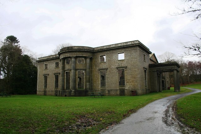
Pitfour estate

The Pitfour Estate, in the Buchan area of North-East Scotland, was an ancient barony encompassing most of the extensive Longside Parish, stretching from...
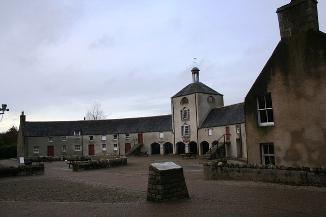
Aden Country Park

Aden Country Park is located in Mintlaw, Aberdeenshire, Scotland, first mentioned in the 10th-century Book of Deer. The park has a caravan area with camping...

Mintlaw Academy

Mintlaw Academy is a secondary school in Aberdeenshire, Scotland. == History == The school opened in 1981 with about 600 enrolled students and a capacity...

Old Deer

Old Deer (Scots: Auld Deer, Scottish Gaelic: Dèir) is a parish and village in the district of Buchan, Aberdeenshire, Scotland. The population in 2011 was...
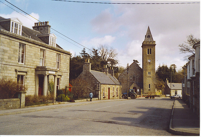
Mintlaw

Mintlaw (literally meaning a smooth, flat place) is a large village in Aberdeenshire, Scotland lying along the A952 road and is geographically a route...
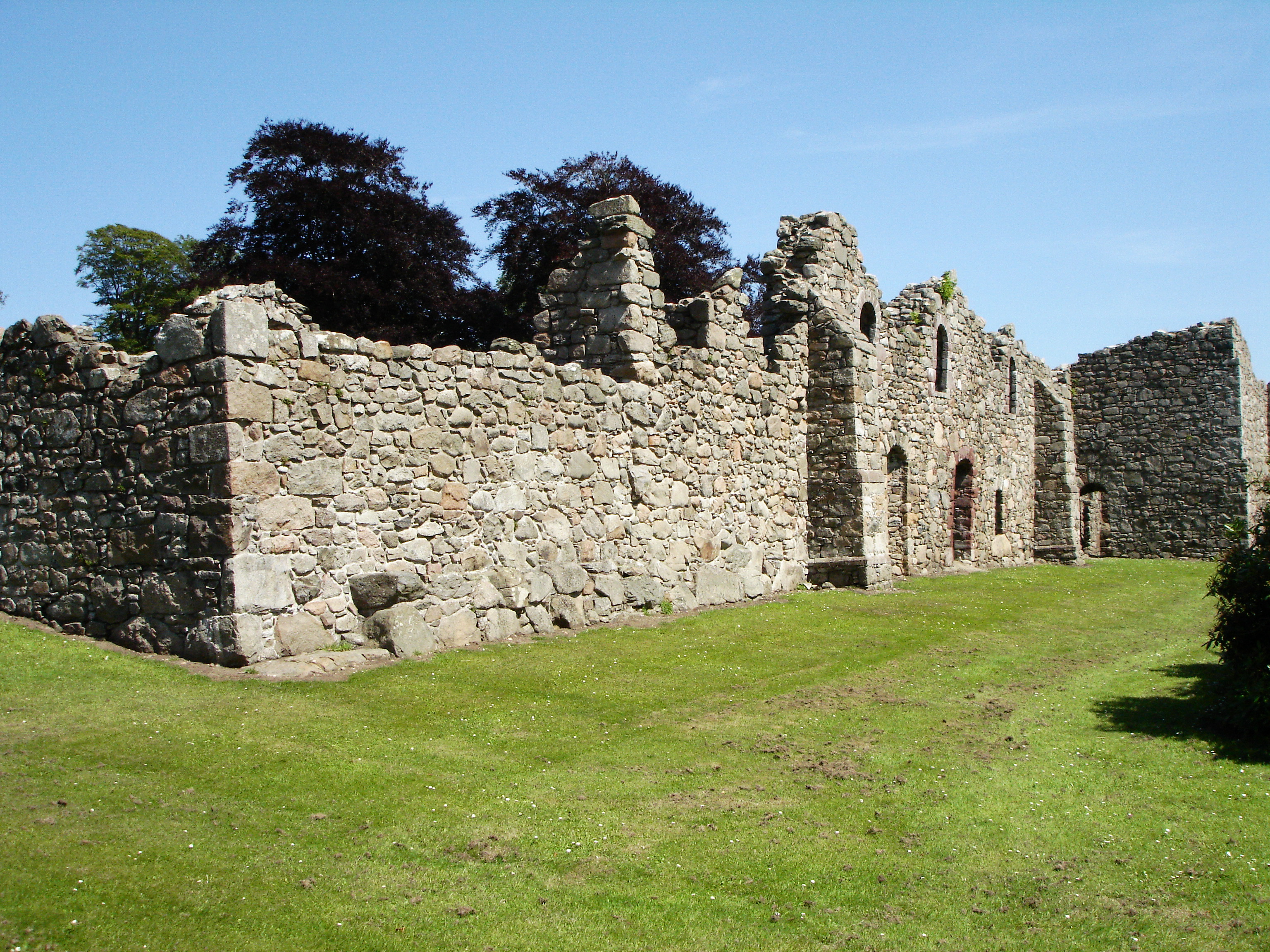
Deer Abbey

Deer Abbey was a Cistercian monastery in Buchan, Scotland. It was founded by 1219 under the patronage William Comyn, jure uxoris Earl of Buchan, who is...

Buchan

Buchan is a coastal district in the north-east of Scotland, bounded by the Ythan and Deveron rivers. It was one of the original provinces of the Kingdom...

Nearby Amenities

Located within 500m of 57.528532,-2.0267363
Mintlaw
Historic Railway: station
Wikidata: Q6869643
Wikipedia: en:Mintlaw railway station
Lat/Long: 57.5268687/-2.0190174
Crossing
Crossing: unmarked
Kerb: flush
Tactile Paving: no
Lat/Long: 57.525586/-2.031926
Bench
Backrest: yes
Lat/Long: 57.5286732/-2.0265113
Disused Amenity: post_box
Royal Cypher: scottish_crown
Source: survey
Lat/Long: 57.5260906/-2.0207956
Parking
Access: yes
Parking: surface
Lat/Long: 57.5257929/-2.0325873
Crossing
Lat/Long: 57.5293574/-2.019089
Power: pole
Lat/Long: 57.5252281/-2.0265346
Power: pole
Lat/Long: 57.5256159/-2.0262775
Material: wood
Power: pole
Lat/Long: 57.5261813/-2.025932
Power: pole
Lat/Long: 57.5265284/-2.0257285
Power: pole
Lat/Long: 57.5270204/-2.0264753
Power: pole
Lat/Long: 57.5272126/-2.0251697
Power: pole
Lat/Long: 57.5274098/-2.0237005
Power: pole
Lat/Long: 57.5275696/-2.0224993
Power: pole
Lat/Long: 57.5278906/-2.0213134
Power: pole
Lat/Long: 57.5281903/-2.0201674
Power: pole
Lat/Long: 57.5284939/-2.0189976
Power: pole
Lat/Long: 57.528229/-2.0233252
Power: pole
Lat/Long: 57.5288752/-2.0241133
Power: pole
Lat/Long: 57.5292451/-2.0254413
Power: pole
Lat/Long: 57.5296338/-2.0267281
Power: pole
Lat/Long: 57.5299471/-2.0275127
Power: pole
Lat/Long: 57.5303227/-2.0284026
Power: pole
Lat/Long: 57.5306805/-2.0292673
Power: pole
Lat/Long: 57.5311259/-2.0303361
Power: pole
Lat/Long: 57.5315714/-2.0314281
Power: pole
Lat/Long: 57.5299517/-2.0267646
Power: pole
Lat/Long: 57.5308705/-2.0267271
Power: pole
Lat/Long: 57.5313409/-2.0267265
Power: pole
Lat/Long: 57.531727/-2.0267195
Power: pole
Lat/Long: 57.5325672/-2.0267118
Bus Stop
Aden Country Park
Bench: no
Bin: no
Bus: yes
Lit: yes
Naptan AtcoCode: 630021941
Naptan Bearing: E
Naptan CommonName: Aden Country Park
Naptan Indicator: opp
Naptan NaptanCode: 23627896
Naptan Street: A950
Naptan Verified: no
Public Transport: platform
Shelter: no
Source: naptan;bing;naptan_compare_tool
Tactile Paving: no
Lat/Long: 57.5261211/-2.024731
Bus Stop
Aden Country Park
Bench: no
Bin: no
Bus: yes
Lit: yes
Naptan AtcoCode: 630021942
Naptan Bearing: W
Naptan CommonName: Aden Country Park
Naptan Indicator: at
Naptan NaptanCode: 23627897
Naptan Street: A950
Naptan Verified: no
Public Transport: platform
Shelter: no
Source: naptan;bing;naptan_compare_tool
Tactile Paving: no
Lat/Long: 57.5260064/-2.0240168
Bus Stop
Newlands Road
Bench: yes
Bin: no
Bus: yes
Lit: yes
Naptan AtcoCode: 630021944
Naptan Bearing: W
Naptan CommonName: Newlands Road
Naptan Indicator: at
Naptan NaptanCode: 23632524
Naptan Street: A950
Naptan Verified: no
Public Transport: platform
Shelter: yes
Source: naptan;bing;naptan_compare_tool
Tactile Paving: no
Lat/Long: 57.5260197/-2.0207568
The data included in this document is from www.openstreetmap.org. The data is made available under ODbL.

Have you been to Dunshillock?

Leave your review of Dunshillock below (or comments, questions and feedback).