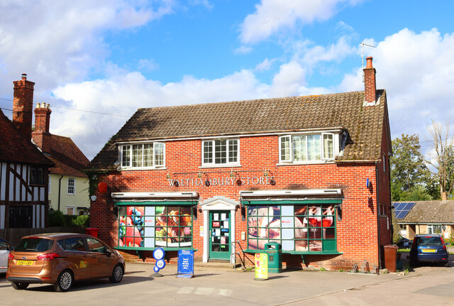
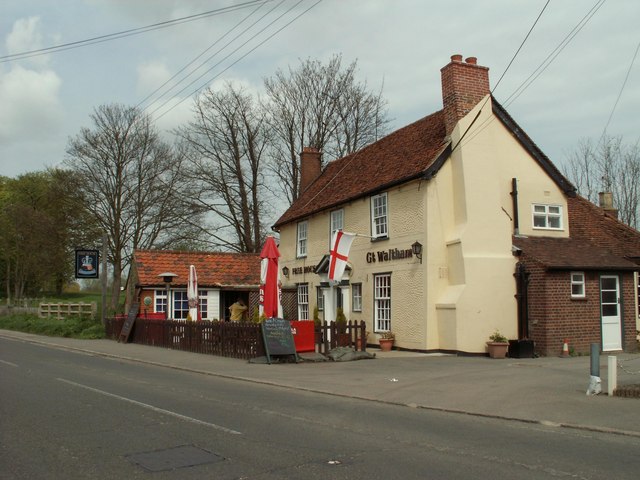
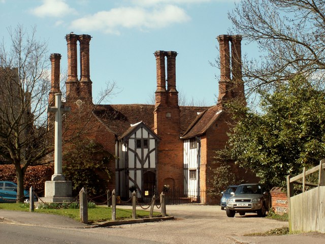
Minnow End

Settlement in Essex Chelmsford

England

Minnow End

Hatchfields, Great Waltham
Hatchfields, Great Waltham Credit: David Howard

Minnow End is a quaint village located in the county of Essex, England. Situated just five miles east of the town of Chelmsford, this idyllic rural community offers a peaceful and picturesque setting for its residents. With a population of around 700 people, Minnow End exudes a close-knit and friendly atmosphere.

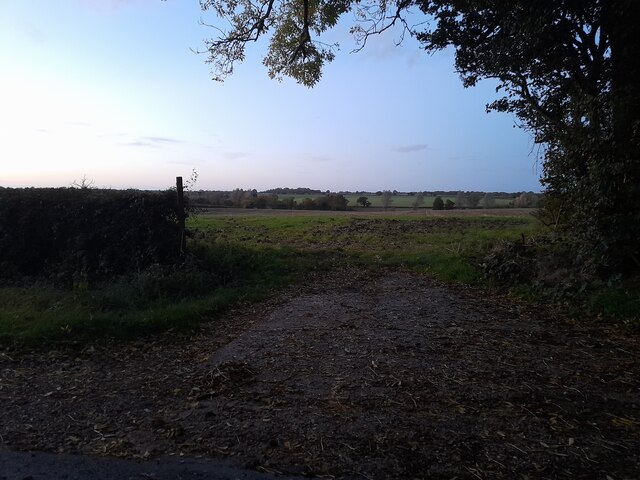
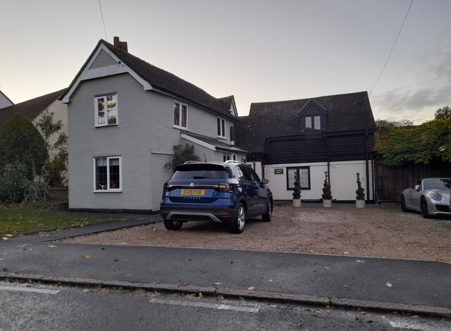
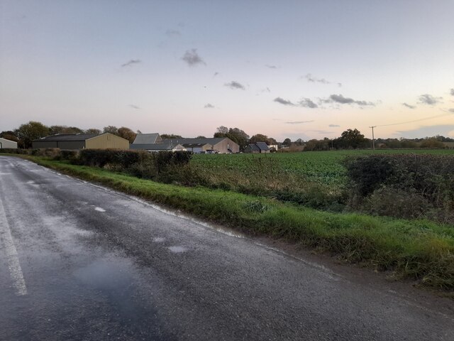
The village is nestled amidst rolling green hills and surrounded by lush farmlands, giving it a distinct rural charm. Its traditional architecture, predominantly consisting of historic cottages and farmhouses, adds to its timeless appeal. The village is further enhanced by its well-maintained gardens and colorful flower displays that dot the landscape.

The heart of Minnow End is the village square, where a charming parish church, St. Mary's, stands proudly. The church dates back to the 13th century and features stunning stained glass windows and intricate stonework. The square also houses a cozy pub, The Minnow Inn, which serves as a popular meeting place for locals and visitors alike.

Minnow End boasts a strong sense of community spirit, with various events and activities organized throughout the year. The annual village fete, held in the summer, brings everyone together for a day of fun and celebration. The village also has a primary school, providing education to the local children.

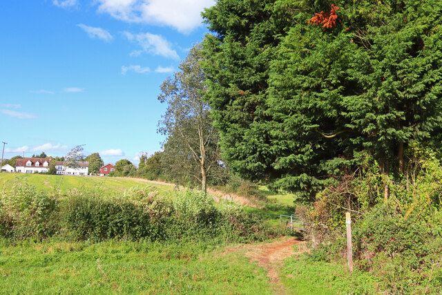
For those seeking outdoor pursuits, Minnow End offers picturesque walking and cycling routes, allowing residents to explore the beautiful surrounding countryside. Additionally, the nearby River Chelmer provides opportunities for boating and fishing.

In conclusion, Minnow End is a charming and tranquil village in Essex, England. With its rich history, stunning architecture, and strong community spirit, it is a truly delightful place to live or visit.

If you have any feedback on the listing, please let us know in the comments section below.

Minnow End Images

Images are sourced within 2km of 51.789804/0.466421 or Grid Reference TL7013. Thanks to Geograph Open Source API. All images are credited.

Hatchfields, Great Waltham
Walthambury Farm, Great Waltham
Barrack Lane at the junction of Bury Lane
Fields by Mashbury Road, Great Waltham
House on Main Road, Great Waltham It was white before this.
House on Main Road, Great Waltham
It was white before this.
Main Road, Great Waltham
Pleshey Road looking towards Walthambury Farm
Great Waltham View towards Great Waltham from near Salt House Farm.
Great Waltham
View towards Great Waltham from near Salt House Farm.
Great Waltham Post Office Walthambury Stores in Great Waltham.
Great Waltham Post Office
Walthambury Stores in Great Waltham.
Green Man Play Area Play equipment in the garden of  <a href="https://www.geograph.org.uk/photo/7608433">TL6914 : The Galvin Green Man</a>.
Green Man Play Area
Play equipment in the garden of TL6914 : The Galvin Green Man.
The Galvin Green Man Since the other geographs of this 13th century inn were taken the place has had a complete makeover with a distinct (award winning) gastronomic lean.
The Galvin Green Man
Since the other geographs of this 13th century inn were taken the place has had a complete makeover with a distinct (award winning) gastronomic lean.
Howe Street There are more old houses in Howe Street than you can shake a stick at!
Howe Street
There are more old houses in Howe Street than you can shake a stick at!
Large house on Chelmsford Road, Minnow End Minnow End is the hamlet between Great Waltham and Little Waltham
Large house on Chelmsford Road, Minnow End
Minnow End is the hamlet between Great Waltham and Little Waltham
Blasford Hill, Little Waltham
Chatham Hall Lane at the junction of Blasford Hill
Field by Chatham Hall Lane, Little Waltham
Show me another place!

Minnow End is located at Grid Ref: TL7013 (Lat: 51.789804, Lng: 0.466421)

Administrative County: Essex

District: Chelmsford

Police Authority: Essex

What 3 Words

///eating.only.secure. Near Great Leighs, Essex

Related Wikis

Minnow End

Minnow End is a hamlet in the parish of Great Waltham in Chelmsford district, in the English county of Essex. Nearby settlements include the town of Chelmsford...

Great Waltham

Great Waltham, also known as Church End, is a village and civil parish in the Chelmsford district, in the county of Essex, England. == Description == The...

Breeds, Essex

Breeds is a hamlet in the Great Waltham civil parish of the Chelmsford district of Essex, England. It is situated on South Street of the village of Great...

Broad's Green

Broads Green is a hamlet in the civil parish of Great Waltham and the Chelmsford district, of Essex, England. Nearby settlements include the town of Chelmsford...

Little Waltham Meadows

Little Waltham Meadows is an 8.9-hectare (22-acre) nature reserve south of Little Waltham in Essex. It is owned and managed by the Essex Wildlife Trust...

Little Waltham

Little Waltham is a village and civil parish just north of Chelmsford, in Essex, England. It is adjacent to the village of Great Waltham. The Domesday...

Broomfield Hospital

Broomfield Hospital is an acute district general hospital in Chelmsford, Essex. It is managed by the Mid and South Essex NHS Foundation Trust. == History... ==

Howe Street

Howe Street is a rural hamlet on the banks of the River Chelmer. It is situated in the parish of Great Waltham, in the Chelmsford district, in the county...

Nearby Amenities

Located within 500m of 51.789804,0.466421
Crossing
Crossing: unmarked
Crossing Island: no
Crossing Markings: no
Tactile Paving: no
Lat/Long: 51.7880644/0.4713384
Bus Stop
The Windmill
Bench: no
Bin: no
Bus: yes
Check Date Shelter: 2023-08-31
Lit: yes
Naptan AtcoCode: 15002007006
Naptan Bearing: SE
Naptan CommonName: The Windmill
Naptan Indicator: o/s
Naptan Landmark: The Windmill
Naptan NaptanCode: esxgwmdg
Naptan Street: Chelmsford Road
Naptan Verified: no
Public Transport: platform
Shelter: no
Source: naptan_import
Tactile Paving: no
Lat/Long: 51.7899345/0.4652832
Bus Stop
Larks Lane
Bench: no
Bin: no
Bus: yes
Check Date Shelter: 2024-02-28
Lit: yes
Naptan AtcoCode: 15002007007
Naptan Bearing: SE
Naptan CommonName: Larks Lane
Naptan Crossing: Larks Lane
Naptan Indicator: Opp
Naptan Landmark: Larks Lane
Naptan NaptanCode: esxgwmaw
Naptan Street: Chelmsford Road
Naptan Verified: no
Public Transport: platform
Shelter: no
Source: naptan_import
Tactile Paving: no
Lat/Long: 51.786641/0.4679457
Bus Stop
The Windmill
Bench: no
Bin: no
Bus: yes
Lit: no
Naptan AtcoCode: 150020070Y6
Naptan Bearing: NW
Naptan CommonName: The Windmill
Naptan Indicator: Opp
Naptan Landmark: The Windmill
Naptan NaptanCode: esxgwmdj
Naptan Street: Chelmsford Road
Naptan Verified: no
Public Transport: platform
Shelter: no
Source: naptan_import
Tactile Paving: no
Lat/Long: 51.7902568/0.4649384
Bus Stop
Larks Lane
Bench: no
Bin: no
Bus: yes
Check Date Shelter: 2024-02-28
Lit: yes
Naptan AtcoCode: 150020070Y7
Naptan Bearing: NW
Naptan CommonName: Larks Lane
Naptan Crossing: Larks Lane
Naptan Indicator: Adj
Naptan Landmark: Larks Lane
Naptan NaptanCode: esxgwmda
Naptan Street: Chelmsford Road
Naptan Verified: no
Public Transport: platform
Shelter: no
Source: naptan_import
Tactile Paving: no
Lat/Long: 51.7871011/0.4674488
Material: wood
Power: pole
Lat/Long: 51.7875275/0.4668709
Material: wood
Power: pole
Lat/Long: 51.7880634/0.4658624
Material: wood
Power: pole
Lat/Long: 51.7886208/0.4648056
Material: wood
Power: pole
Lat/Long: 51.7891617/0.4637998
Material: wood
Power: pole
Lat/Long: 51.7897225/0.4627323
Material: wood
Power: pole
Lat/Long: 51.7902733/0.461705
Material: wood
Power: pole
Lat/Long: 51.7904378/0.4593244
Material: wood
Power: pole
Lat/Long: 51.7887099/0.4627003
Material: wood
Power: pole
Lat/Long: 51.7878123/0.4618178
Material: wood
Power: pole
Lat/Long: 51.7873332/0.4610826
Turning Circle
Lat/Long: 51.791883/0.4609295
Crossing
Crossing: unmarked
Crossing Island: no
Crossing Markings: no
Tactile Paving: no
Lat/Long: 51.7867047/0.471275
Crossing
Crossing: unmarked
Crossing Island: no
Crossing Markings: no
Tactile Paving: no
Lat/Long: 51.7867259/0.4714953
Fire Hydrant
Emergency: fire_hydrant
Fire Hydrant Position: sidewalk
Fire Hydrant Type: underground
Water Source: main
Lat/Long: 51.7905369/0.4648933
The data included in this document is from www.openstreetmap.org. The data is made available under ODbL.

Have you been to Minnow End?

Leave your review of Minnow End below (or comments, questions and feedback).