Achnahanat

Settlement in Ross-shire

Scotland

Achnahanat

Wee bridge near the forest trails
Wee bridge near the forest trails Credit: Peter Moore

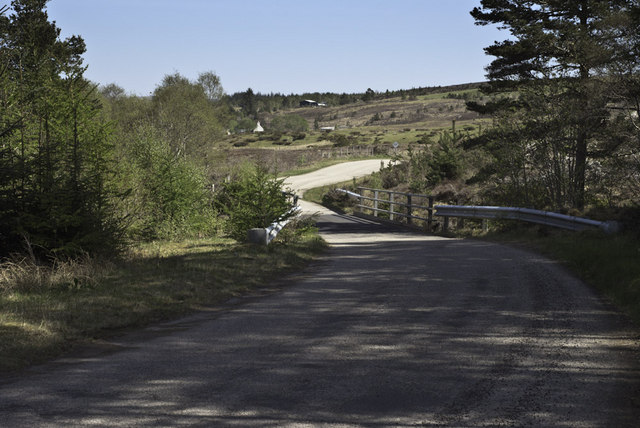
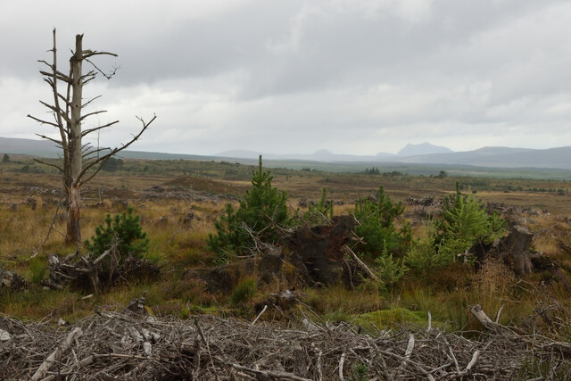
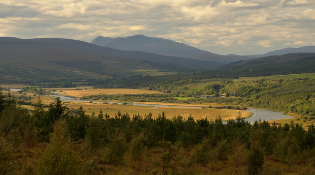
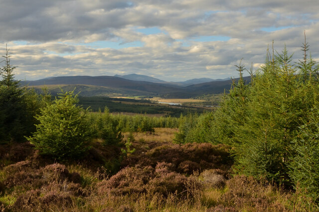
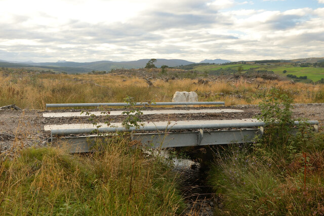
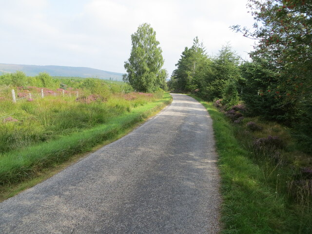
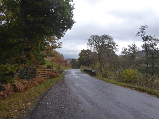
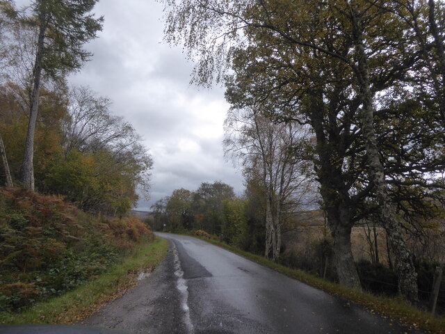
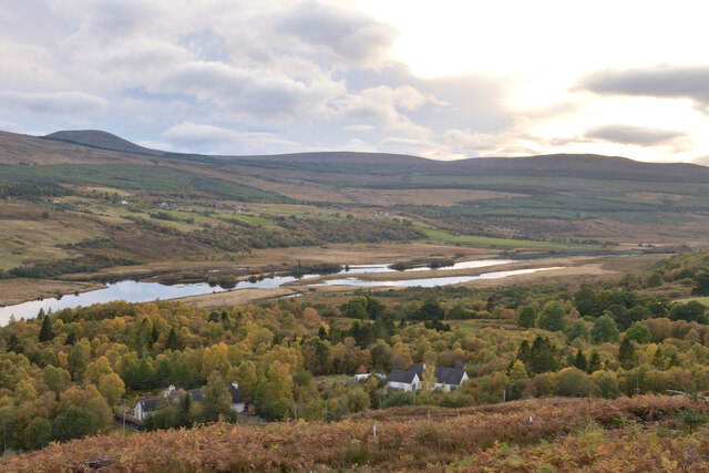
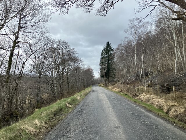
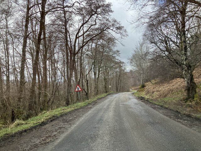
Achnahanat is a small village located in Ross-shire, Scotland. Situated in the Scottish Highlands, it is surrounded by picturesque landscapes, including rolling hills, lush greenery, and tranquil lochs. The village is nestled in close proximity to the River Conon, which adds to its natural charm.

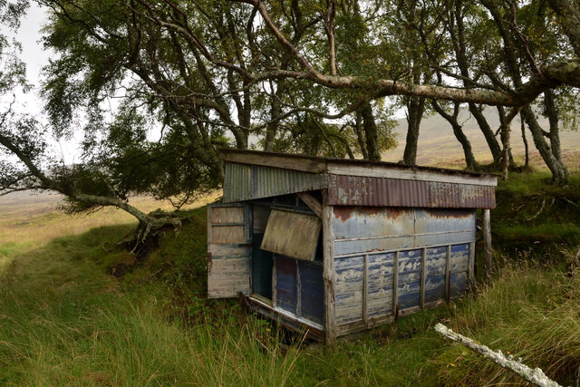
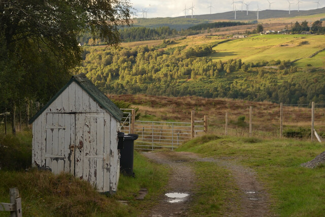
Achnahanat is a rural community that offers a peaceful and idyllic setting, away from the hustle and bustle of urban life. The village is known for its traditional Scottish architecture, with stone-built houses and quaint cottages dotting the landscape. The local residents are warm and friendly, creating a welcoming atmosphere for visitors.

Although small in size, Achnahanat is rich in history and heritage. The village is home to several historical landmarks, such as the Achnahanat Standing Stones, which are believed to date back to the Neolithic era. These ancient stones are a testament to the village's long-standing presence and add a sense of mystery to its surroundings.

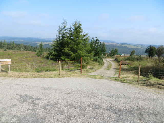
Nature lovers will find plenty to explore in Achnahanat, with numerous walking trails and hiking routes leading through the stunning Highland scenery. The village also offers opportunities for fishing in the nearby lochs and rivers, providing a peaceful retreat for anglers.

Despite its rural setting, Achnahanat is conveniently located close to larger towns like Dingwall and Inverness, which offer a range of amenities including shops, restaurants, and cultural attractions. This allows residents to enjoy the tranquility of village life while still having access to modern conveniences.

In summary, Achnahanat is a charming village in Ross-shire, Scotland, that boasts stunning natural beauty, a rich history, and a close-knit community. It offers a peaceful escape for those seeking a rural retreat in the heart of the Scottish Highlands.

If you have any feedback on the listing, please let us know in the comments section below.
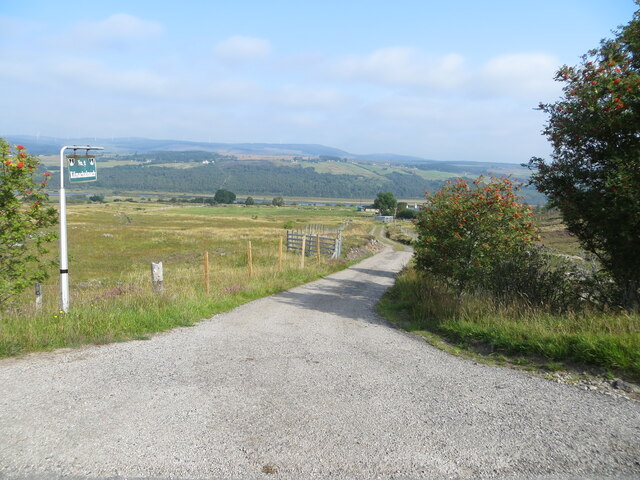
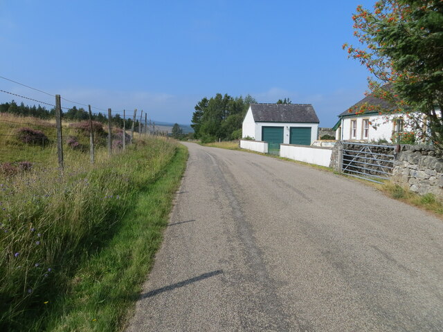
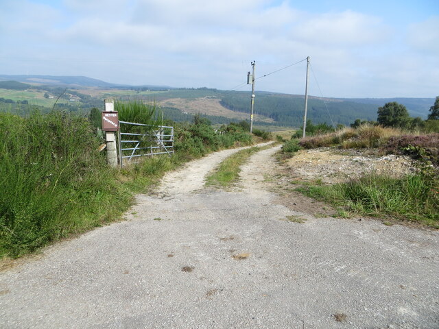
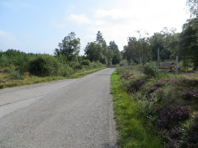
Achnahanat Images

Images are sourced within 2km of 57.947812/-4.50627 or Grid Reference NH5198. Thanks to Geograph Open Source API. All images are credited.

Wee bridge near the forest trails
The Remains of Forestry above Strathkyle House, Ross-shire View looking west over cleared forestry with the peaks of the Assynt on the distant horizon.
The Remains of Forestry above Strathkyle House, Ross-shire
View looking west over cleared forestry with the peaks of the Assynt on the distant horizon.
Old Hut near Strathkyle, Ross-shire Now derelict, appears to be fashioned in part from an old trailer.
Old Hut near Strathkyle, Ross-shire
Now derelict, appears to be fashioned in part from an old trailer.
The Kyle of Sutherland and Ben More Assynt, Scottish Highlands Viewed from Achnahanat, firstly the valley of the Kyle of Sutherland, and in the background the mountain Ben More Assynt.
The Kyle of Sutherland and Ben More Assynt, Scottish Highlands
Viewed from Achnahanat, firstly the valley of the Kyle of Sutherland, and in the background the mountain Ben More Assynt.
Forestry Break in Birchfield Wood, Ross-shire With a view looking down over the Kyle of Sutherland.
Forestry Break in Birchfield Wood, Ross-shire
With a view looking down over the Kyle of Sutherland.
Old Shed at Achnahanat, Ross-shire Next to a track leading down to a farm house at Achnahanat, by the Kyle of Sutherland, Scottish Highlands
Old Shed at Achnahanat, Ross-shire
Next to a track leading down to a farm house at Achnahanat, by the Kyle of Sutherland, Scottish Highlands
Small temporary bridge, Ross-shire Carrying a farm track over a small watercourse.
Small temporary bridge, Ross-shire
Carrying a farm track over a small watercourse.
Track giving access to Kilmachalmag Looking north-eastward.
Track giving access to Kilmachalmag
Looking north-eastward.
Track giving access to Kilmachalmack Looking north-eastward.
Track giving access to Kilmachalmack
Looking north-eastward.
Minor road at the Old Choolhouse, Achnahanat Looking westward.
Minor road at the Old Choolhouse, Achnahanat
Looking westward.
Track giving access to Wester Badarach Looking north-eastward.
Track giving access to Wester Badarach
Looking north-eastward.
Minor road near to Strathkyle Lodge and House Looking south-eastward.
Minor road near to Strathkyle Lodge and House
Looking south-eastward.
Minor road beside Rhelonie Wood Looking noth-eastward.
Minor road beside Rhelonie Wood
Looking noth-eastward.
Bridge over A837 near Tullich
A837 near Auchintoul, Sutherland
Autumn at Woodburn, Kyle of Sutherland, Scottish Highlands View from the track in Linsidemore Woods over the Kyle of Sutherland and River Oykel.
Autumn at Woodburn, Kyle of Sutherland, Scottish Highlands
View from the track in Linsidemore Woods over the Kyle of Sutherland and River Oykel.
A837 near to Auchintoul
A837 near Linsidemore
Show me another place!

Achnahanat is located at Grid Ref: NH5198 (Lat: 57.947812, Lng: -4.50627)

Unitary Authority: Highland

Police Authority: Highlands and Islands

Also known as: Achadh na h-Annaid

What 3 Words

///winemaker.establish.robes. Near Lairg, Highland

Related Wikis

Achnahanat

Achnahanat (Scottish Gaelic: Achadh na h-Annaid) is a crofting settlement on the south side of the Kyle of Sutherland in Scotland. It is about 4 miles...

Altass

Altass (Scottish Gaelic: Alltais) is a village in the Parish of Creich, near Lairg, Sutherland, within the Highland, Scotland and is in the council area...

Linsidemore

Linsidemore (Scottish Gaelic: Lianasaid Mhòr) is a tiny township on the north bank of the Kyle of Sutherland in the Scottish Highlands. It is about 3 miles...

Battle of Aldy Charrish

The Battle of Aldy Charrish (also known as the Battle of Auldicharish, Aldicharrish, Aldecharwis, Alt a'Charrais, Alt Charrais, Alt na Charrais) was a...

Nearby Amenities

Located within 500m of 57.947812,-4.50627
Bus Stop
Telephone Box
Local Ref: AT
Naptan AtcoCode: 6700712322
Naptan Bearing: E
Naptan CommonName: Telephone Box
Naptan Indicator: at
Naptan Landmark: Telephone Box
Naptan NaptanCode: 45327653
Naptan Street: Achnahanat Road
Naptan Verified: no
Source: naptan_import
Lat/Long: 57.9479025/-4.5090877
Post Box
Post Box Design: waggon_top
Post Box Mounting: wooden_post
Post Box Type: lamp
Ref: IV 299
Royal Cypher: GVIR
Royal Cypher Wikidata: Q33102169
Source: survey
Lat/Long: 57.9479322/-4.5090945
Telephone
Booth: K6
Covered: booth
Man Made: telephone_box
Source: survey
Lat/Long: 57.9479294/-4.5089324
Power: pole
Lat/Long: 57.9484826/-4.5139428
Power: pole
Lat/Long: 57.9484412/-4.512709
Power: pole
Lat/Long: 57.9483907/-4.5114793
Power: pole
Lat/Long: 57.9483101/-4.5097228
Power: pole
Lat/Long: 57.9482821/-4.5090117
Power: pole
Lat/Long: 57.948195/-4.5078752
Power: pole
Lat/Long: 57.9480983/-4.5067042
Power: pole
Lat/Long: 57.9480004/-4.5055474
Power: pole
Lat/Long: 57.9479037/-4.5042913
Power: pole
Lat/Long: 57.9477918/-4.5030292
Power: pole
Lat/Long: 57.9476919/-4.5018035
Power: pole
Lat/Long: 57.9475929/-4.5005981
Power: pole
Lat/Long: 57.9474779/-4.4993501
Power: pole
Lat/Long: 57.9473892/-4.4981457
Power: pole
Lat/Long: 57.9485675/-4.5051837
Power: pole
Lat/Long: 57.9491567/-4.5048414
Power: pole
Lat/Long: 57.9497598/-4.5044666
Power: pole
Lat/Long: 57.950321/-4.5039722
Power: pole
Lat/Long: 57.950837/-4.5035002
Power: pole
Lat/Long: 57.9514079/-4.5029917
The data included in this document is from www.openstreetmap.org. The data is made available under ODbL.

Have you been to Achnahanat?

Leave your review of Achnahanat below (or comments, questions and feedback).