Milton

Settlement in Inverness-shire

Scotland

Milton

Clear fell from beside Drumclune Burn tributary
Clear fell from beside Drumclune Burn tributary Credit: Sarah McGuire

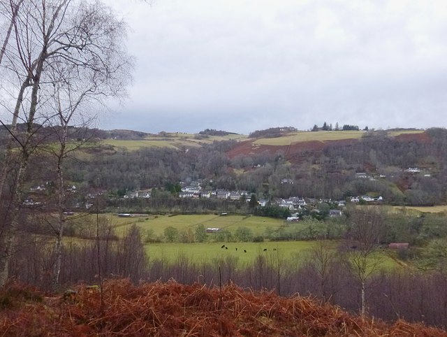
Milton is a small village located in the county of Inverness-shire, Scotland. Situated in the Highlands region, it lies approximately 10 miles west of the town of Inverness. With a population of around 200 residents, Milton exudes a tranquil and picturesque charm that is characteristic of the Scottish countryside.

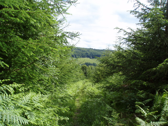
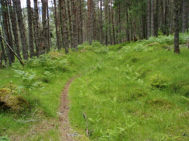
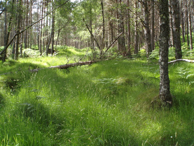
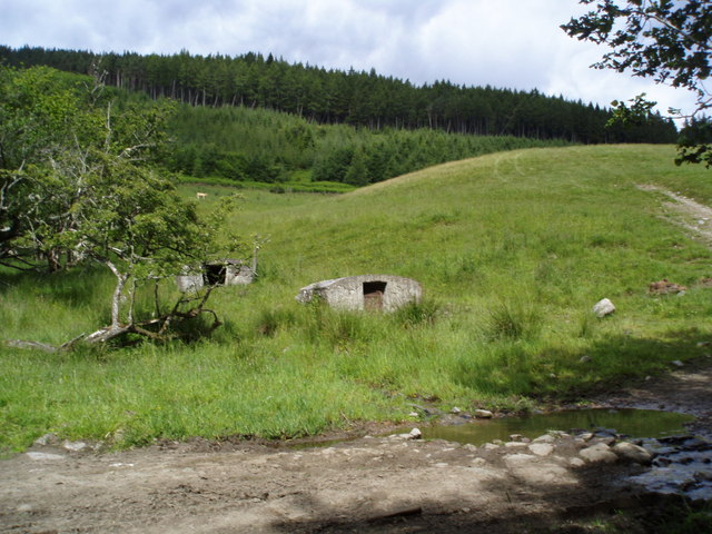
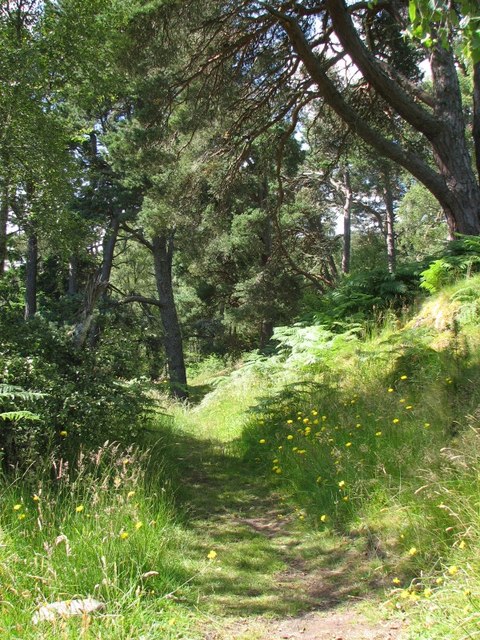
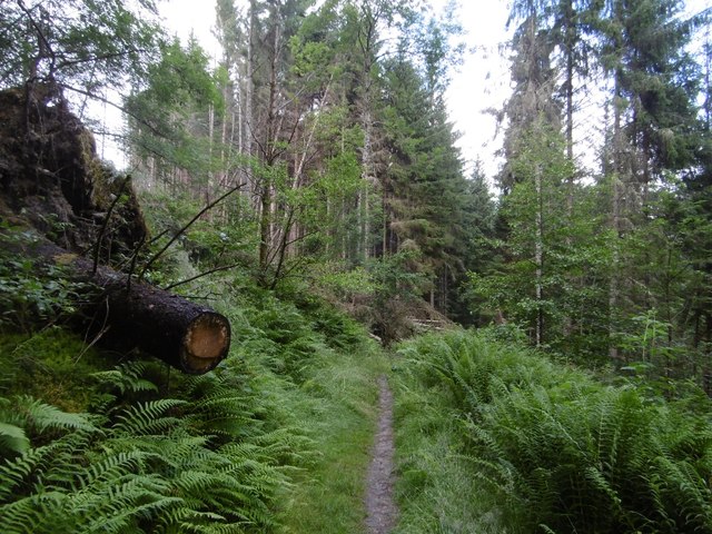
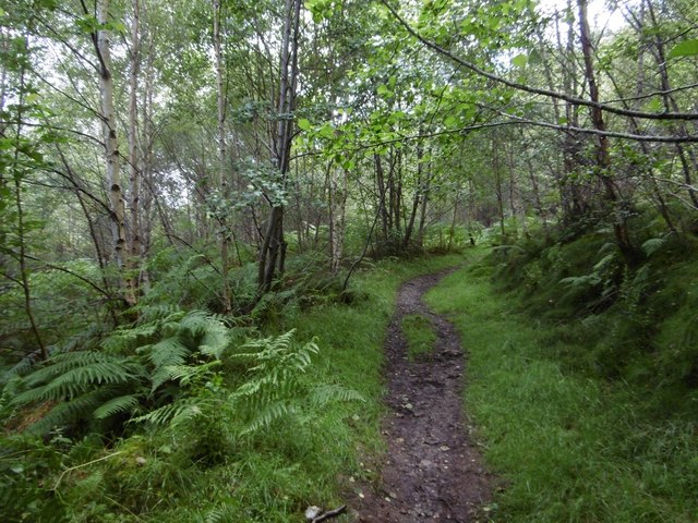
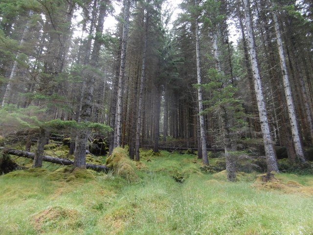
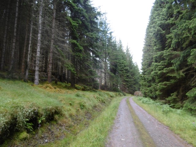
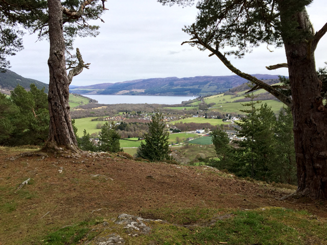
The village is nestled amidst breathtaking natural beauty, surrounded by rolling hills, lush green fields, and the sparkling waters of nearby Loch Ness. The area is renowned for its stunning landscapes, offering residents and visitors alike ample opportunities for outdoor activities such as hiking, fishing, and wildlife spotting. The nearby Glen Affric, with its ancient Caledonian forest and stunning waterfalls, is a particularly popular destination for nature enthusiasts.

Despite its small size, Milton has a close-knit community that is proud of its heritage and traditions. The village is home to a local primary school, providing education to the children of the area. There is also a community hall that serves as a hub for social gatherings and events.

For amenities and services, residents can travel to nearby Inverness, where they will find a range of shops, supermarkets, restaurants, and healthcare facilities. Inverness also offers excellent transportation links, including a train station and access to major road networks, making it convenient for commuters and visitors to explore other parts of Scotland.

Milton, Inverness-shire, offers a serene and idyllic lifestyle, surrounded by stunning natural beauty and a strong sense of community. It is a place where residents can enjoy the tranquility of rural living while still having access to the amenities of a larger town nearby.

If you have any feedback on the listing, please let us know in the comments section below.
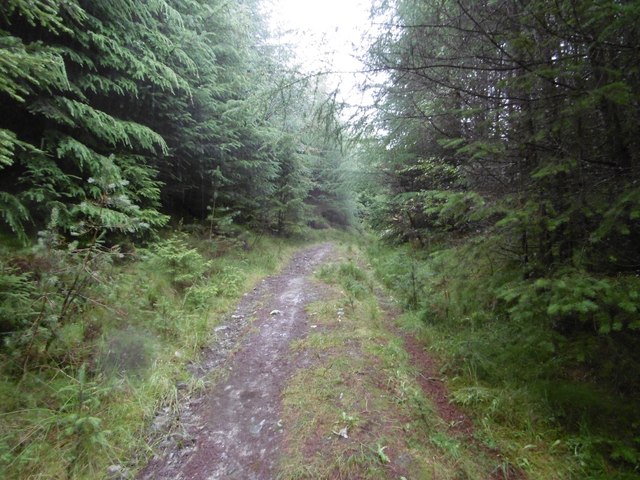
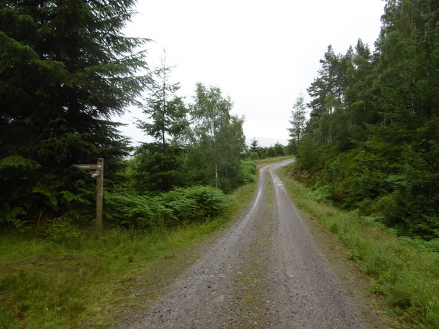
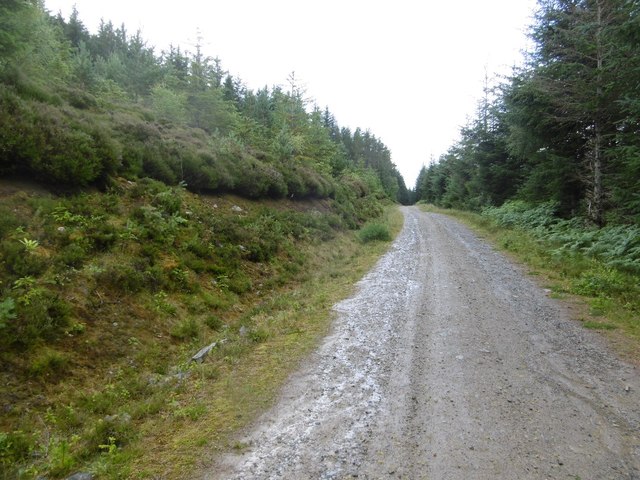
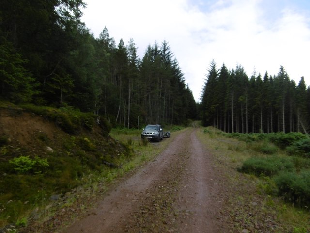
Milton Images

Images are sourced within 2km of 57.33917/-4.5056187 or Grid Reference NH4930. Thanks to Geograph Open Source API. All images are credited.

Clear fell from beside Drumclune Burn tributary
Forest path going down to join woodland walk to Craig Mony
Path going up Cnoc a' Bhuachaille through Pine forest
Forest path going up to Cnoc a' Bhuachaille
Covered water tanks by ford
Path, Craig Mony Path leading through mixed woodland below the fort on Craig Mony.
Path, Craig Mony
Path leading through mixed woodland below the fort on Craig Mony.
View over Glenurquhart to Milton From a viewpoint on a path through the woods, near Craig Mony.

Looking across the foot of Glenurquhart towards the village of Milton, or Baile a' Mhuilinn in Gaelic. This shows how the village is spread out along by the River Enrick.
Part of the A833 road is visible (just to the left of centre), where it climbs steeply up Culnakirk Brae.
View over Glenurquhart to Milton
From a viewpoint on a path through the woods, near Craig Mony. Looking across the foot of Glenurquhart towards the village of Milton, or Baile a' Mhuilinn in Gaelic. This shows how the village is spread out along by the River Enrick. Part of the A833 road is visible (just to the left of centre), where it climbs steeply up Culnakirk Brae.
Path through a pine forest Singletrack on the Affric Kintail Way.  After a climb just past here, the route to Cannich is nearly all on roads.
Path through a pine forest
Singletrack on the Affric Kintail Way. After a climb just past here, the route to Cannich is nearly all on roads.
Drumnadrochit singletrack Woodland path on the Affric Kintail Way.
Drumnadrochit singletrack
Woodland path on the Affric Kintail Way.
Slopes of Cnoc a' Bhuachaille A track up through the trees on the Affric Kintail Way.  A steep climb.
Slopes of Cnoc a' Bhuachaille
A track up through the trees on the Affric Kintail Way. A steep climb.
Affric Kintail Way signpost After a long singletrack climb, the many kilometres of logging road begins. Definitely a route best done with wheels.  If going towards Drumnadrochit, the descent from here is steep.
Affric Kintail Way signpost
After a long singletrack climb, the many kilometres of logging road begins. Definitely a route best done with wheels. If going towards Drumnadrochit, the descent from here is steep.
Logging road, Glen Urquhart Contouring the slopes of Cnoc a' Bhuachaille.
Logging road, Glen Urquhart
Contouring the slopes of Cnoc a' Bhuachaille.
Forest road above Drumclune Forestry in Glen Urquhart.
Forest road above Drumclune
Forestry in Glen Urquhart.
Ride, Cnoc a' Bhuachaille A way of sorts through the trees.  The Affric Kintail Way sticks to the road.
Ride, Cnoc a' Bhuachaille
A way of sorts through the trees. The Affric Kintail Way sticks to the road.
Logging road, Glen Urquhart Along the slopes of Cnoc a' Bhuachaille.
Logging road, Glen Urquhart
Along the slopes of Cnoc a' Bhuachaille.
On the way to Loch Duich Two backpackers (from the Netherlands) heading westwards on the Affric Kintail Way (effectively the classic through route through Glen Affric with a forest road in Glen Urquhart bolted on).
On the way to Loch Duich
Two backpackers (from the Netherlands) heading westwards on the Affric Kintail Way (effectively the classic through route through Glen Affric with a forest road in Glen Urquhart bolted on).
Craigmonie The site of an ancient hill fort, Craigmonie (or Craig Mony) is a fine viewpoint looking out across Drumnadrochit to Loch Ness.
Craigmonie
The site of an ancient hill fort, Craigmonie (or Craig Mony) is a fine viewpoint looking out across Drumnadrochit to Loch Ness.
Bullock above Balmacaan
Show me another place!

Milton is located at Grid Ref: NH4930 (Lat: 57.33917, Lng: -4.5056187)

Unitary Authority: Highland

Police Authority: Highlands and Islands

What 3 Words

///support.banks.heartburn. Near Drumnadrochit, Highland

Nearby Locations

Easter Milton Milton

Related Wikis

Milton, Glenurquhart

Milton (Scottish Gaelic: Baile a' Mhuilinn) is a village in Glenurquhart, to the west of the village of Drumnadrochit, in the Highland council area of...

Drumnadrochit

Drumnadrochit (; Scottish Gaelic: Druim na Drochaid) is a village in the Highland local government council area of Scotland, lying near the west shore...

Glen Urquhart High School

Glen Urquhart High School is a six-year comprehensive secondary school situated in Drumnadrochit. The school's primary catchment area ranges from Abriachan...

Lewiston, Highland

Lewiston is a small linear village, situated less than 1 mile southeast of Drumnadrochit, in Inverness-shire, Scottish Highlands and is in the Scottish...

Falls of Divach

Falls of Divach is a waterfall of Scotland. Pronounced 'Jeevach', the Divach Burn falls 100 feet to the River Coiltie, which continues its course through...

River Enrick

The River Enrick is a river in the Highland region of Scotland. It flows for around 22 km, in a generally northerly and then easterly direction. It rises...

Glen Urquhart

Glenurquhart or Glen Urquhart (Scottish Gaelic: Gleann Urchadain) is a glen running to the west of the village of Drumnadrochit in the Highland council...

Strone (Inverness)

Strone (Scottish Gaelic: An t-Sròn, translating to "The Nose") is a small hamlet in the administrative county of the Scottish Highland and in the historic...

Nearby Amenities

Located within 500m of 57.33917,-4.5056187
Bus Stop
Local Ref: AT
Naptan AtcoCode: 6700712610
Naptan Bearing: E
Naptan CommonName: Bus Shelter
Naptan Indicator: at
Naptan Landmark: Bus Shelter
Naptan NaptanCode: 45327953
Naptan Street: Milton Road
Shelter: yes
Source: naptan_import;survey
Lat/Long: 57.3391278/-4.5042899
Bus Stop
Milton Road End
Local Ref: AT
Naptan AtcoCode: 6700712611
Naptan Bearing: E
Naptan CommonName: Milton Road End
Naptan Indicator: at
Naptan Landmark: Milton Road End
Naptan NaptanCode: 45324352
Naptan Street: A831
Naptan Verified: no
Source: naptan_import
Lat/Long: 57.3386901/-4.5072686
Post Box
Collection Times: Mo-Sa 12:45
Operator: Royal Mail
Post Box Type: wall
Ref: IV3 143
Royal Cypher: VR
Royal Cypher Wikidata: Q33102356
Source: survey
Lat/Long: 57.3391645/-4.5033192
Milton
Name Gd: Baile a' Mhuilinn
Place: village
Lat/Long: 57.3394241/-4.5041351
Public Bookcase
Booth: K6
Disused Amenity: telephone
Man Made: telephone_box
Old Phone: +44 1456 450283
Public Bookcase Type: phone_box
Lat/Long: 57.3391201/-4.5042329
Entrance: yes
Lat/Long: 57.3387157/-4.509409
Entrance: yes
Lat/Long: 57.3387109/-4.5097671
Power: pole
Lat/Long: 57.3380858/-4.5093914
Power: pole
Lat/Long: 57.3379331/-4.5103257
Power: pole
Lat/Long: 57.3375816/-4.5113647
Power: pole
Lat/Long: 57.3377319/-4.5124546
Power: pole
Lat/Long: 57.3363365/-4.5000162
Power: pole
Lat/Long: 57.3367704/-4.5007693
Power: pole
Lat/Long: 57.3371712/-4.5013562
Power: pole
Lat/Long: 57.3375816/-4.501946
Power: pole
Lat/Long: 57.3380293/-4.5025808
Power: pole
Lat/Long: 57.3385884/-4.5033983
Power: pole
Lat/Long: 57.3389576/-4.5039403
Power: pole
Lat/Long: 57.3391192/-4.5041139
Power: pole
Lat/Long: 57.3387007/-4.5049134
Power: pole
Lat/Long: 57.3383436/-4.5073104
Advertising: board
Lat/Long: 57.3391149/-4.5041683
The data included in this document is from www.openstreetmap.org. The data is made available under ODbL.

Have you been to Milton?

Leave your review of Milton below (or comments, questions and feedback).