Easter Milton

Settlement in Inverness-shire

Scotland

Easter Milton

Forest path going down to join woodland walk to Craig Mony
Forest path going down to join woodland walk to Craig Mony Credit: Sarah McGuire

Easter Milton is a small village located in the Inverness-shire region of Scotland. Situated in the picturesque Highlands, this rural settlement offers residents and visitors a tranquil and idyllic escape from the hustle and bustle of city life.

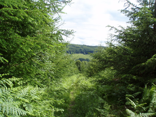
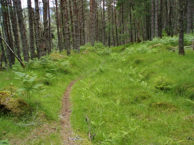
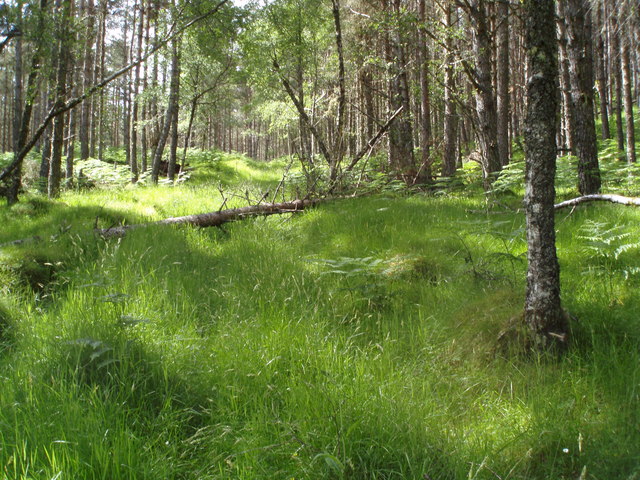
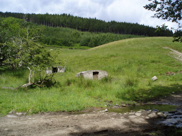
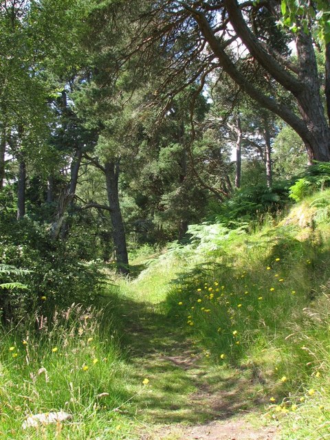
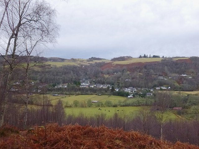
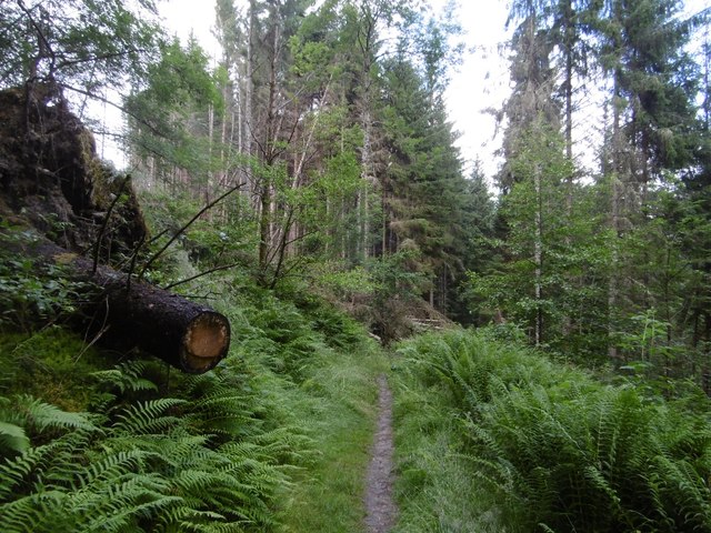
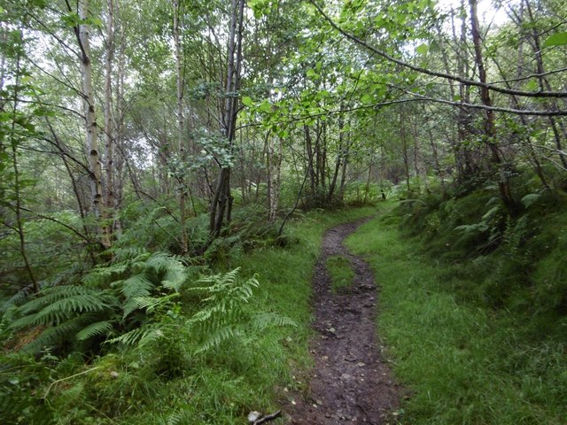
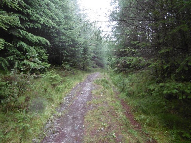
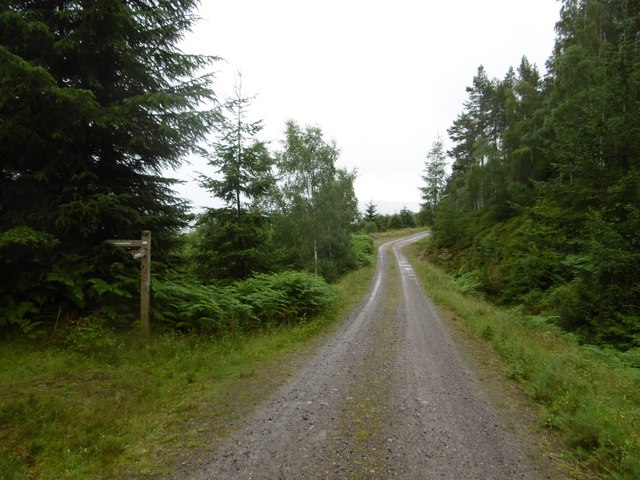
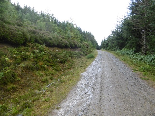
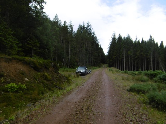
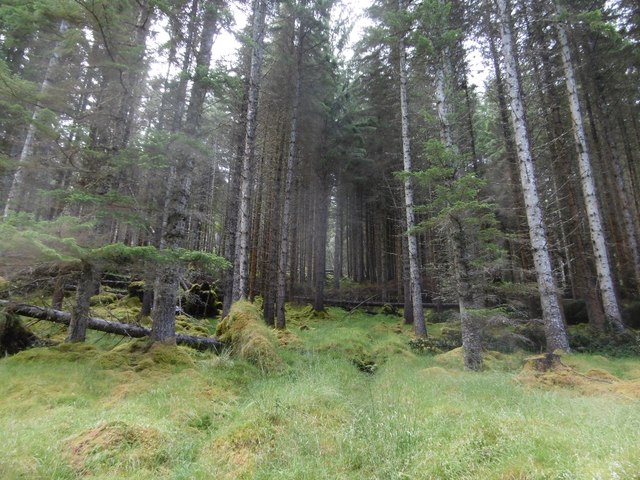
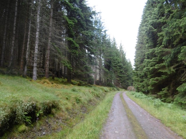
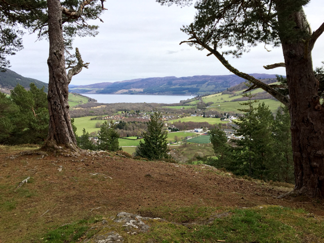
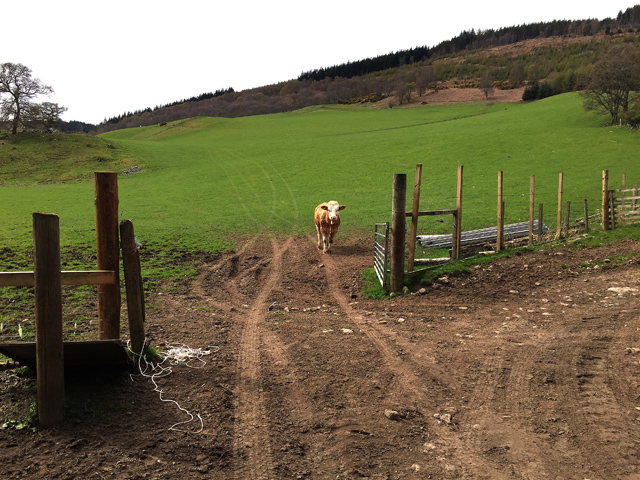
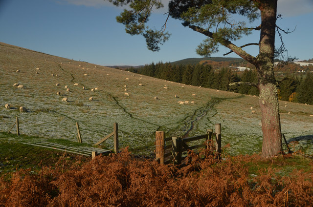
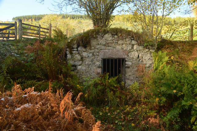
Surrounded by breathtaking landscapes, Easter Milton is known for its stunning natural beauty. Lush green hills, meandering rivers, and dense forests make this area a haven for outdoor enthusiasts. Hiking, fishing, cycling, and wildlife spotting are popular activities, with numerous trails and paths to explore.

The village itself is comprised of a handful of traditional stone cottages, giving it a charming and quaint atmosphere. The local community is close-knit and friendly, creating a welcoming environment for newcomers and tourists alike. Though small, Easter Milton offers essential amenities such as a local shop and a pub, where visitors can enjoy some traditional Scottish hospitality.

For those seeking a taste of history and culture, nearby attractions include the historic Cawdor Castle and the iconic Loch Ness, famous for its mythical creature, the Loch Ness Monster. Inverness, the capital of the Highlands, is also within easy reach, offering a wider range of amenities, shopping opportunities, and cultural experiences.

Easter Milton is a peaceful and serene destination, perfect for those seeking a retreat in the heart of nature. Its stunning surroundings, friendly community, and proximity to popular attractions make it an ideal place to explore and unwind in the Scottish Highlands.

If you have any feedback on the listing, please let us know in the comments section below.

Easter Milton Images

Images are sourced within 2km of 57.338509/-4.4954529 or Grid Reference NH4930. Thanks to Geograph Open Source API. All images are credited.

Forest path going down to join woodland walk to Craig Mony
Path going up Cnoc a' Bhuachaille through Pine forest
Forest path going up to Cnoc a' Bhuachaille
Covered water tanks by ford
Path, Craig Mony Path leading through mixed woodland below the fort on Craig Mony.
Path, Craig Mony
Path leading through mixed woodland below the fort on Craig Mony.
View over Glenurquhart to Milton From a viewpoint on a path through the woods, near Craig Mony.

Looking across the foot of Glenurquhart towards the village of Milton, or Baile a' Mhuilinn in Gaelic. This shows how the village is spread out along by the River Enrick.
Part of the A833 road is visible (just to the left of centre), where it climbs steeply up Culnakirk Brae.
View over Glenurquhart to Milton
From a viewpoint on a path through the woods, near Craig Mony. Looking across the foot of Glenurquhart towards the village of Milton, or Baile a' Mhuilinn in Gaelic. This shows how the village is spread out along by the River Enrick. Part of the A833 road is visible (just to the left of centre), where it climbs steeply up Culnakirk Brae.
Path through a pine forest Singletrack on the Affric Kintail Way.  After a climb just past here, the route to Cannich is nearly all on roads.
Path through a pine forest
Singletrack on the Affric Kintail Way. After a climb just past here, the route to Cannich is nearly all on roads.
Drumnadrochit singletrack Woodland path on the Affric Kintail Way.
Drumnadrochit singletrack
Woodland path on the Affric Kintail Way.
Slopes of Cnoc a' Bhuachaille A track up through the trees on the Affric Kintail Way.  A steep climb.
Slopes of Cnoc a' Bhuachaille
A track up through the trees on the Affric Kintail Way. A steep climb.
Affric Kintail Way signpost After a long singletrack climb, the many kilometres of logging road begins. Definitely a route best done with wheels.  If going towards Drumnadrochit, the descent from here is steep.
Affric Kintail Way signpost
After a long singletrack climb, the many kilometres of logging road begins. Definitely a route best done with wheels. If going towards Drumnadrochit, the descent from here is steep.
Logging road, Glen Urquhart Contouring the slopes of Cnoc a' Bhuachaille.
Logging road, Glen Urquhart
Contouring the slopes of Cnoc a' Bhuachaille.
Forest road above Drumclune Forestry in Glen Urquhart.
Forest road above Drumclune
Forestry in Glen Urquhart.
Ride, Cnoc a' Bhuachaille A way of sorts through the trees.  The Affric Kintail Way sticks to the road.
Ride, Cnoc a' Bhuachaille
A way of sorts through the trees. The Affric Kintail Way sticks to the road.
Logging road, Glen Urquhart Along the slopes of Cnoc a' Bhuachaille.
Logging road, Glen Urquhart
Along the slopes of Cnoc a' Bhuachaille.
Craigmonie The site of an ancient hill fort, Craigmonie (or Craig Mony) is a fine viewpoint looking out across Drumnadrochit to Loch Ness.
Craigmonie
The site of an ancient hill fort, Craigmonie (or Craig Mony) is a fine viewpoint looking out across Drumnadrochit to Loch Ness.
Bullock above Balmacaan
Barnett's Gate at Craigmony, near Drumnadrochit, Highlands The wooden gate in this photo has a small plaque which reads "This gate is dedicated in memory of Sgt. Craig Barnett RAF 1963 - 1995 Cared for by the Woodland Trust".
Barnett's Gate at Craigmony, near Drumnadrochit, Highlands
The wooden gate in this photo has a small plaque which reads "This gate is dedicated in memory of Sgt. Craig Barnett RAF 1963 - 1995 Cared for by the Woodland Trust".
Probable Cistern at Balmacaan, Drumnadrochit, Scottish Highlands A grate of iron bars blocks the entrance to a small chamber set within the hillside.  The chamber has a vaulted masonry roof and what appears to be a concrete tank in the floor.  Given the location next to a small watercourse on the former estate of Balmacaan, it seems most likely that this structure is a redundant cistern for supplying water.
Probable Cistern at Balmacaan, Drumnadrochit, Scottish Highlands
A grate of iron bars blocks the entrance to a small chamber set within the hillside. The chamber has a vaulted masonry roof and what appears to be a concrete tank in the floor. Given the location next to a small watercourse on the former estate of Balmacaan, it seems most likely that this structure is a redundant cistern for supplying water.
Show me another place!

Easter Milton is located at Grid Ref: NH4930 (Lat: 57.338509, Lng: -4.4954529)

Unitary Authority: Highland

Police Authority: Highlands and Islands

What 3 Words

///firmly.micro.youths. Near Drumnadrochit, Highland

Nearby Locations

Milton Easter Milton

Related Wikis

Milton, Glenurquhart

Milton (Scottish Gaelic: Baile a' Mhuilinn) is a village in Glenurquhart, to the west of the village of Drumnadrochit, in the Highland council area of...

Drumnadrochit

Drumnadrochit (; Scottish Gaelic: Druim na Drochaid) is a village in the Highland local government council area of Scotland, lying near the west shore...

Glen Urquhart High School

Glen Urquhart High School is a six-year comprehensive secondary school situated in Drumnadrochit. The school's primary catchment area ranges from Abriachan...

Lewiston, Highland

Lewiston is a small linear village, situated less than 1 mile southeast of Drumnadrochit, in Inverness-shire, Scottish Highlands and is in the Scottish...

Nearby Amenities

Located within 500m of 57.338509,-4.4954529
Bus Stop
Allanmore
Naptan AtcoCode: 6700712334
Naptan Bearing: SE
Naptan CommonName: Allanmore
Naptan Indicator: at Road End
Naptan Landmark: Road End
Naptan NaptanCode: 45327673
Naptan Street: Allanmore Road
Naptan Verified: no
Source: naptan_import
Lat/Long: 57.3361539/-4.4987866
Post Box
Collection Times: Mo-Sa 12:45
Operator: Royal Mail
Post Box Type: wall
Ref: IV3 143
Royal Cypher: VR
Royal Cypher Wikidata: Q33102356
Source: survey
Lat/Long: 57.3391645/-4.5033192
Lower Achmony Holiday Chalets
Place: locality
Lat/Long: 57.3400406/-4.4888389
Power: pole
Lat/Long: 57.3404257/-4.4881707
Power: pole
Lat/Long: 57.3394909/-4.4882425
Power: pole
Lat/Long: 57.3426911/-4.4954514
Power: pole
Lat/Long: 57.3422467/-4.4950426
Power: pole
Lat/Long: 57.3415948/-4.4944318
Power: pole
Lat/Long: 57.3409727/-4.4938449
Power: pole
Lat/Long: 57.3404637/-4.4933598
Power: pole
Lat/Long: 57.3399013/-4.4928268
Power: pole
Lat/Long: 57.3393414/-4.4923103
Power: pole
Lat/Long: 57.3385787/-4.4918582
Power: pole
Lat/Long: 57.3376188/-4.4912833
Power: pole
Lat/Long: 57.3366056/-4.4906844
Power: pole
Lat/Long: 57.3360076/-4.4906335
Power: pole
Lat/Long: 57.3356755/-4.4893789
Power: pole
Lat/Long: 57.3363931/-4.4896671
Power: pole
Lat/Long: 57.3356917/-4.4914779
Power: pole
Lat/Long: 57.3356343/-4.4924151
Power: pole
Lat/Long: 57.3356036/-4.4935365
Power: pole
Lat/Long: 57.3355745/-4.494571
Power: pole
Lat/Long: 57.3355406/-4.4955442
Power: pole
Lat/Long: 57.3355212/-4.4964664
Power: pole
Lat/Long: 57.3354953/-4.4973617
Power: pole
Lat/Long: 57.3354792/-4.498263
Power: pole
Lat/Long: 57.3358614/-4.499061
Power: pole
Lat/Long: 57.3363365/-4.5000162
Power: pole
Lat/Long: 57.3367704/-4.5007693
Power: pole
Lat/Long: 57.3371712/-4.5013562
Power: pole
Lat/Long: 57.3375816/-4.501946
Power: pole
Lat/Long: 57.3380293/-4.5025808
Power: pole
Lat/Long: 57.3385884/-4.5033983
Easter Milton
Place: hamlet
Lat/Long: 57.3372729/-4.4950486
Allanmore
Place: isolated_dwelling
Lat/Long: 57.3359874/-4.4990612
The data included in this document is from www.openstreetmap.org. The data is made available under ODbL.

Have you been to Easter Milton?

Leave your review of Easter Milton below (or comments, questions and feedback).