Millend

Settlement in Oxfordshire West Oxfordshire

England

Millend

Diddly Squat Farm Shop Farm shop opened by Jeremy Clarkeson and brought to public prominence by the 'Clarkeson's Farm' TV series.
Diddly Squat Farm Shop Credit: David Robinson

Millend is a small village located in the Cherwell district of Oxfordshire, England. Situated about 7 miles northwest of Oxford, Millend is nestled amidst the picturesque countryside, offering residents and visitors a tranquil and idyllic setting.

The village is characterized by its traditional English charm, with a scattering of quaint cottages and farmhouses dotting the landscape. The area is primarily agricultural, with fields of crops and grazing livestock surrounding the village. The nearby River Cherwell adds to the beauty of the surroundings, meandering through the green fields.

Although small in size, Millend benefits from a close-knit community atmosphere. The village has a local pub, The Millend Arms, which serves as a gathering place for villagers and visitors alike. It offers a warm and welcoming atmosphere, serving traditional pub food and a selection of locally brewed ales.

The village is well-connected to nearby towns and cities, with regular bus services providing transportation options for residents. The proximity to Oxford allows for easy access to a range of amenities and services, including shopping centers, schools, and healthcare facilities.

For those seeking outdoor activities, Millend offers an abundance of opportunities. The surrounding countryside provides ample space for walking, cycling, and enjoying the natural beauty of the area. Nearby attractions include Blenheim Palace and the Cotswolds, offering visitors a chance to explore historical landmarks and stunning landscapes.

Overall, Millend is a charming and peaceful village, perfect for those seeking a quiet and picturesque countryside retreat while still having access to nearby amenities and attractions.

If you have any feedback on the listing, please let us know in the comments section below.
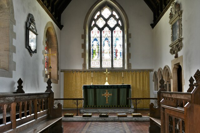
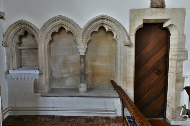
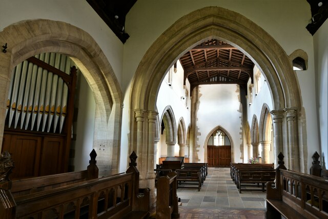
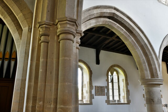
Millend Images

Images are sourced within 2km of 51.900965/-1.530507 or Grid Reference SP3222. Thanks to Geograph Open Source API. All images are credited.

Diddly Squat Farm Shop Farm shop opened by Jeremy Clarkeson and brought to public prominence by the 'Clarkeson's Farm' TV series.
Diddly Squat Farm Shop
Farm shop opened by Jeremy Clarkeson and brought to public prominence by the 'Clarkeson's Farm' TV series.
Chadlington, St. Nicholas Church: Northern aspect
Chadlington, St. Nicholas Church: The Victorian font 1
Chadlington, St. Nicholas Church: The Victorian font 2
Chadlington, St. Nicholas Church: The Victorian font 3
Chadlington, St. Nicholas Church: The Victorian font 4
Chadlington, St. Nicholas Church: The chancel
Chadlington, St. Nicholas Church: Piscina and double sedilia
Chadlington, St. Nicholas Church: Sedilia carving
Chadlington, St. Nicholas Church: The chancel and nave beyond
Chadlington, St. Nicholas Church: Carved leaf poppyhead
Chadlington, St. Nicholas Church: c13th Early English period arch
Chadlington, St. Nicholas Church: The nave
Chadlington, St. Nicholas Church: Roof corbel 1
Chadlington, St. Nicholas Church: Roof corbel 2
Chadlington, St. Nicholas Church: Roof corbel 3
Chadlington, St. Nicholas Church: All that remains of a Saxon arch in the north arcade
Chadlington, St. Nicholas Church: Stained glass window
Show me another place!

Millend is located at Grid Ref: SP3222 (Lat: 51.900965, Lng: -1.530507)

Administrative County: Oxfordshire

District: West Oxfordshire

Police Authority: Thames Valley

What 3 Words

///litigate.bikers.whimpered. Near Charlbury, Oxfordshire

Related Wikis

Chadlington

Chadlington is a village and civil parish in the Evenlode Valley about 3 miles (5 km) south of Chipping Norton, Oxfordshire. The village has four neighbourhoods...

Knollbury

Knollbury is a scheduled Iron Age hillfort enclosure to the north west of Chadlington in Oxfordshire. Believed to be defensive in nature the enclosure...

Hawk Stone

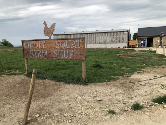
The Hawk Stone is a neolithic standing stone just north of the hamlet of Dean, Oxfordshire, England near Diddly Squat Farm belonging to Jeremy Clarkson...

Dean, Oxfordshire

Dean is a hamlet in Spelsbury civil parish, about 2 miles (3 km) north of Charlbury and 3.5 miles (5.6 km) southeast of Chipping Norton, Oxfordshire. Its...

Nearby Amenities

Located within 500m of 51.900965,-1.530507
Chadlington
Traffic Sign: city_limit
Lat/Long: 51.9010977/-1.5278053
Chipping Norton Road
Naptan AtcoCode: 340003196NOR
Naptan Bearing: N
Naptan BusStopType: CUS
Naptan CommonName: Chipping Norton Road
Naptan Indicator: Northbound
Naptan Landmark: Number 16
Naptan NaptanCode: oxfgapaw
Naptan Street: Chipping Norton Road
Naptan Verified: no
Source: naptan_import
Lat/Long: 51.9005308/-1.5277643
Bus Stop
Chipping Norton Road
Bus: yes
Naptan AtcoCode: 340003196SOU
Naptan Bearing: S
Naptan CommonName: Chipping Norton Road
Naptan Indicator: Southbound
Naptan Landmark: Number 16
Naptan NaptanCode: oxfgapat
Naptan Street: Chipping Norton Road
Naptan Verified: no
Public Transport: platform
Source: naptan_import
Lat/Long: 51.9005123/-1.5276336
Bus Stop
Church Road
Bus: yes
Naptan AtcoCode: 340003197CNR
Naptan Bearing: S
Naptan CommonName: Church Road
Naptan Indicator: Corner
Naptan Landmark: Church Road
Naptan NaptanCode: oxfgapam
Naptan Street: Chipping Norton Road
Naptan Verified: no
Public Transport: platform
Source: naptan_import
Lat/Long: 51.8985656/-1.5264913
Bus Stop
Church Road
Bus: yes
Naptan AtcoCode: 340003197OPP
Naptan Bearing: N
Naptan CommonName: Church Road
Naptan Indicator: Opposite
Naptan Landmark: Bus Shelter
Naptan NaptanCode: oxfgapap
Naptan Street: Chipping Norton Road
Naptan Verified: no
Public Transport: platform
Source: naptan_import
Lat/Long: 51.8991426/-1.5268922
Millend
Place: neighbourhood
Source: OS_OpenData_StreetView
Lat/Long: 51.9003503/-1.5291103
Chadlington Mobile Post Office Service
Brand: Post Office
Mobile Amenity: post_office
Note: Mobile service with limited opening hours
Opening Hours: Mo,We,Fr 13:00-14:30; Tu,Th 10:00-12:00; Sa,Su off
Source: http://www.chadlington.com/local-info/postoffice
Lat/Long: 51.8989522/-1.5265757
Bench
Lat/Long: 51.9000646/-1.5276682
Post Box
Post Box Type: lamp
Ref: OX7 363D
Royal Cypher: EIIR
Royal Cypher Wikidata: Q33102113
Lat/Long: 51.9000464/-1.5276629
Passing Place
Lat/Long: 51.904358/-1.5275078
Passing Place
Lat/Long: 51.9033949/-1.5277062
Addr Housename: Millstone Cottage
Lat/Long: 51.9001309/-1.5293035
Addr Housename: Inglenook
Lat/Long: 51.9001089/-1.5293726
Addr Housename: The Cottage
Lat/Long: 51.900097/-1.5294245
Addr Housename: Tile Cottage
Lat/Long: 51.9000832/-1.529522
Addr Housename: Lyndale
Lat/Long: 51.9000575/-1.5296684
Addr Housename: Tuer Cottage
Lat/Long: 51.900687/-1.5293766
Addr Housename: Holloway Cottage
Lat/Long: 51.9006791/-1.5292003
Addr Housename: Cooper Cottage
Lat/Long: 51.9006935/-1.5292879
Addr Housename: Valley View
Lat/Long: 51.900651/-1.5295454
Addr Housename: Magpie Cottage
Lat/Long: 51.900592/-1.5294976
Addr Housename: Thyme Cottage
Lat/Long: 51.9004923/-1.5294489
Addr Housenumber: 1
Lat/Long: 51.900689/-1.5341325
Addr Housenumber: 2
Lat/Long: 51.9006989/-1.5339785
Addr Housename: Court Yard Cottage
Lat/Long: 51.9005449/-1.5327009
Addr Housename: Upper Court Barn
Lat/Long: 51.9004719/-1.532057
Addr Housenumber: 12
Lat/Long: 51.9007041/-1.5274679
Addr Housename: First Slip
Lat/Long: 51.9008222/-1.527448
Addr Housenumber: 62
Lat/Long: 51.9008791/-1.5268573
Addr Housenumber: 56
Lat/Long: 51.9009612/-1.5262899
Addr Housenumber: 42
Lat/Long: 51.900661/-1.5267289
Addr Housenumber: 48
Lat/Long: 51.9005754/-1.5261342
Addr Housenumber: 40
Lat/Long: 51.9001771/-1.5265163
Addr Housenumber: 1
Lat/Long: 51.9002921/-1.5260079
Addr Housenumber: 5
Lat/Long: 51.9000146/-1.5272218
Addr Housenumber: 7
Lat/Long: 51.9002304/-1.5272758
Addr Housenumber: 22
Lat/Long: 51.9003839/-1.5252247
Addr Housenumber: 32
Lat/Long: 51.9003475/-1.5257759
Addr Housenumber: 11
Lat/Long: 51.8991539/-1.5270764
Addr Housenumber: 16
Lat/Long: 51.8998212/-1.5276659
Addr Housenumber: 5
Lat/Long: 51.8984945/-1.5260154
Addr Housenumber: 10
Lat/Long: 51.8984324/-1.5254789
Addr Housenumber: 5
Lat/Long: 51.8979864/-1.5258089
Addr Housenumber: 12
Lat/Long: 51.8979566/-1.5252671
Addr Housenumber: 14
Lat/Long: 51.8978813/-1.5252054
Addr Housenumber: 8
Lat/Long: 51.8989938/-1.5256419
Addr Housename: Ashcroft Close
Lat/Long: 51.8989783/-1.5257867
Addr Housenumber: 1
Lat/Long: 51.8986777/-1.5263168
Addr Housenumber: 9
Lat/Long: 51.8985473/-1.526754
The data included in this document is from www.openstreetmap.org. The data is made available under ODbL.

Have you been to Millend?

Leave your review of Millend below (or comments, questions and feedback).