Millend
Settlement in Gloucestershire Stroud
England
Millend
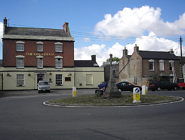
Millend is a picturesque village located in the county of Gloucestershire, England. Situated in the beautiful Cotswolds region, this charming village is known for its idyllic setting and rich history. With a population of around 200 residents, Millend offers a tranquil and close-knit community atmosphere.
The village is characterized by its traditional Cotswold stone houses, which give it a timeless and quintessentially English feel. Nestled amidst rolling hills and surrounded by lush green countryside, Millend boasts stunning views and an abundance of natural beauty. The nearby River Coln adds to the village's charm, providing a peaceful spot for residents and visitors to relax and enjoy the outdoors.
Despite its small size, Millend has a few amenities to cater to its residents' needs. There is a local pub, The Millend Inn, which serves as a gathering place for locals and visitors alike. The village also has a small convenience store, providing essential supplies for its residents.
Millend's location in the Cotswolds makes it an ideal base for exploring the surrounding area. The village is within easy reach of other picturesque towns and villages, such as Bibury and Bourton-on-the-Water, which are renowned for their beauty and historic architecture.
Overall, Millend offers a peaceful and scenic retreat for those seeking a tranquil countryside experience. Its charming character, stunning natural surroundings, and convenient location make it a desirable place to live or visit in Gloucestershire.
If you have any feedback on the listing, please let us know in the comments section below.
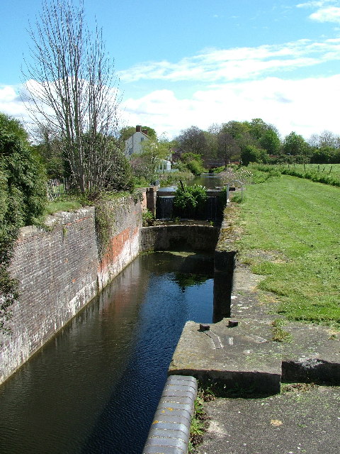
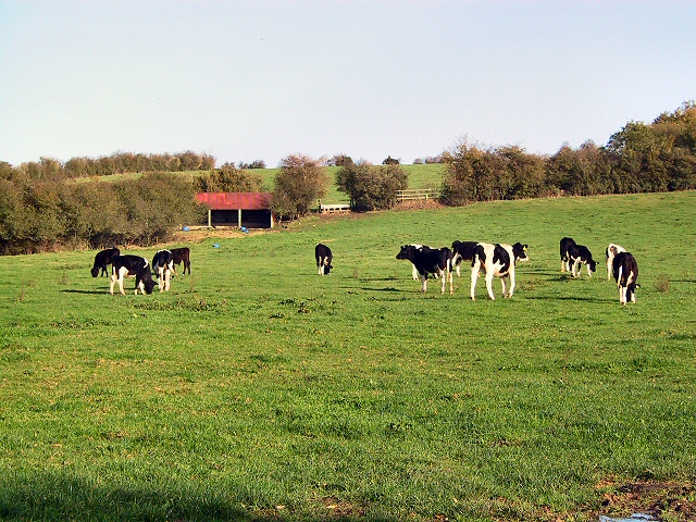
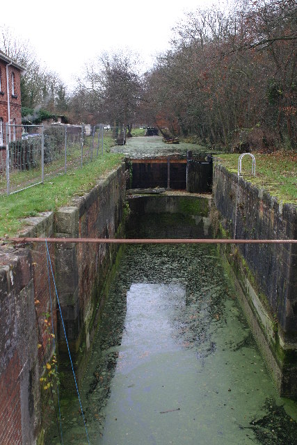
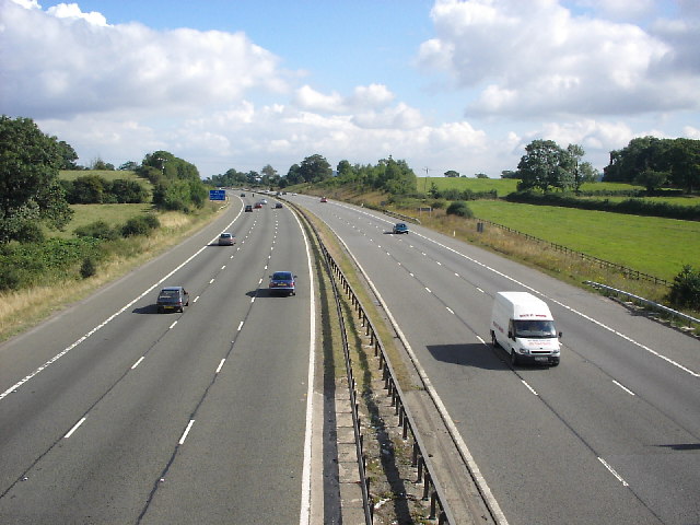
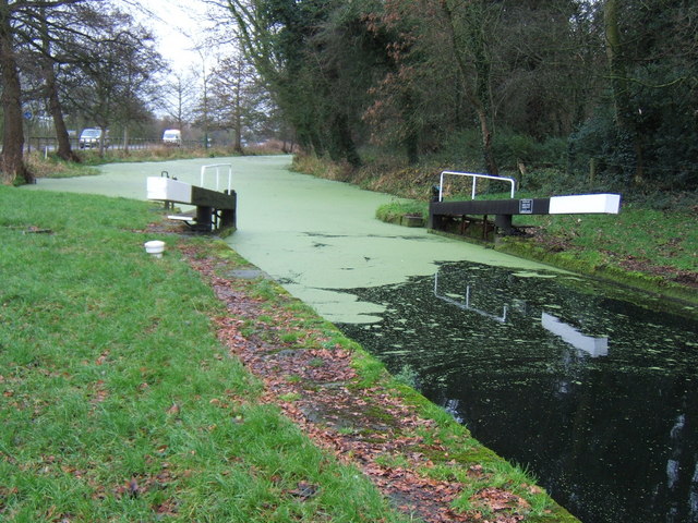
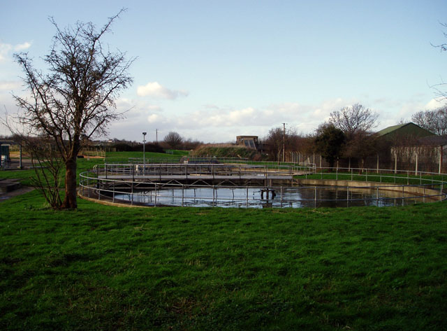
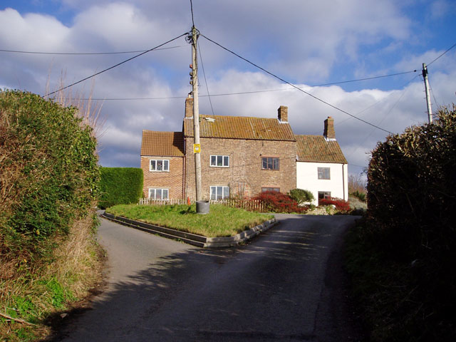
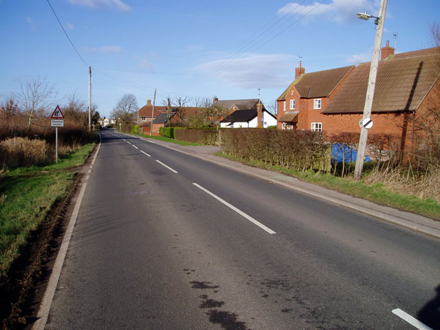
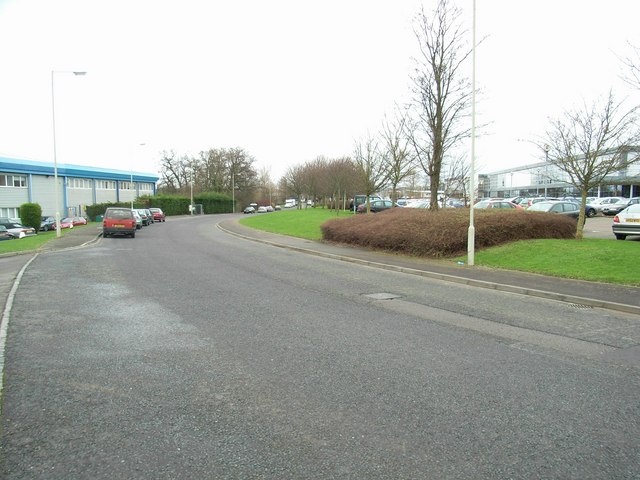
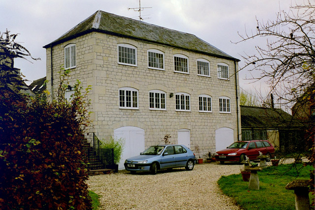
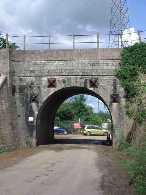
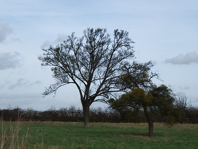
Millend Images
Images are sourced within 2km of 51.746818/-2.320083 or Grid Reference SO7805. Thanks to Geograph Open Source API. All images are credited.


Millend is located at Grid Ref: SO7805 (Lat: 51.746818, Lng: -2.320083)
Administrative County: Gloucestershire
District: Stroud
Police Authority: Gloucestershire
What 3 Words
///messaging.climber.overheat. Near Eastington, Gloucestershire
Related Wikis

Eastington, Stroud
Eastington is a village and civil parish in the Gloucestershire, England. It lies 4 miles west of Stroud and 9 miles south of Gloucester at the entrance...
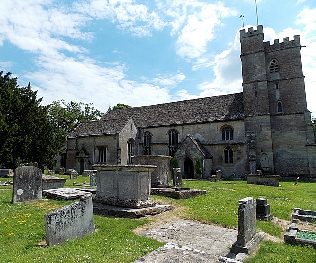
Churchend, Eastington
Churchend is a hamlet in Gloucestershire, England, 4 miles (6.4 km) west of Stroud. It is part of the civil parish of Eastington. The church of St Michael...

Alkerton, Gloucestershire
Alkerton is a village in Gloucestershire, England. It is located along the M5 motorway just east of the River Severn. It is part of the parish of Eastington...
The Gatehouse at Bonds Mill
The Gatehouse at Bonds Mill at Stonehouse, Gloucestershire, England, was constructed during World War II as a defensive pillbox as part of the Stop Line...

Eco Park (stadium)
Eco Park is a proposed stadium in Gloucestershire, England. If constructed, the stadium will be the home ground of Forest Green Rovers. It is reputedly...

Five Acre Grove
Five Acre Grove (grid reference SO791043) is a 5-hectare (12-acre) nature reserve in Leonard Stanley, Gloucestershire. The site is listed in the 'Cotswold...
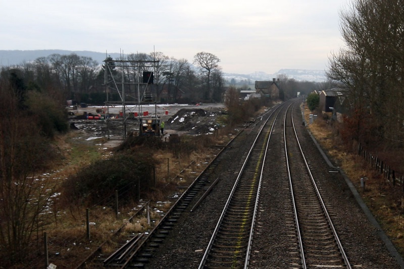
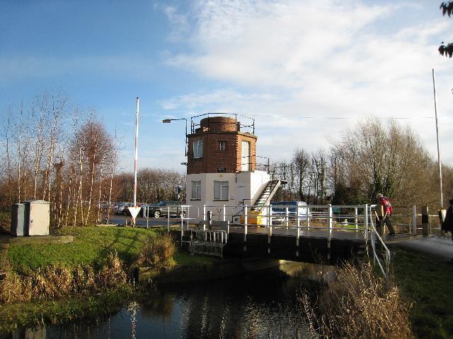
Stonehouse (Bristol Road) railway station
Stonehouse (Bristol Road) railway station, also known as Stroudwater station after the nearby canal, was a station in Stonehouse, England, on the Bristol...
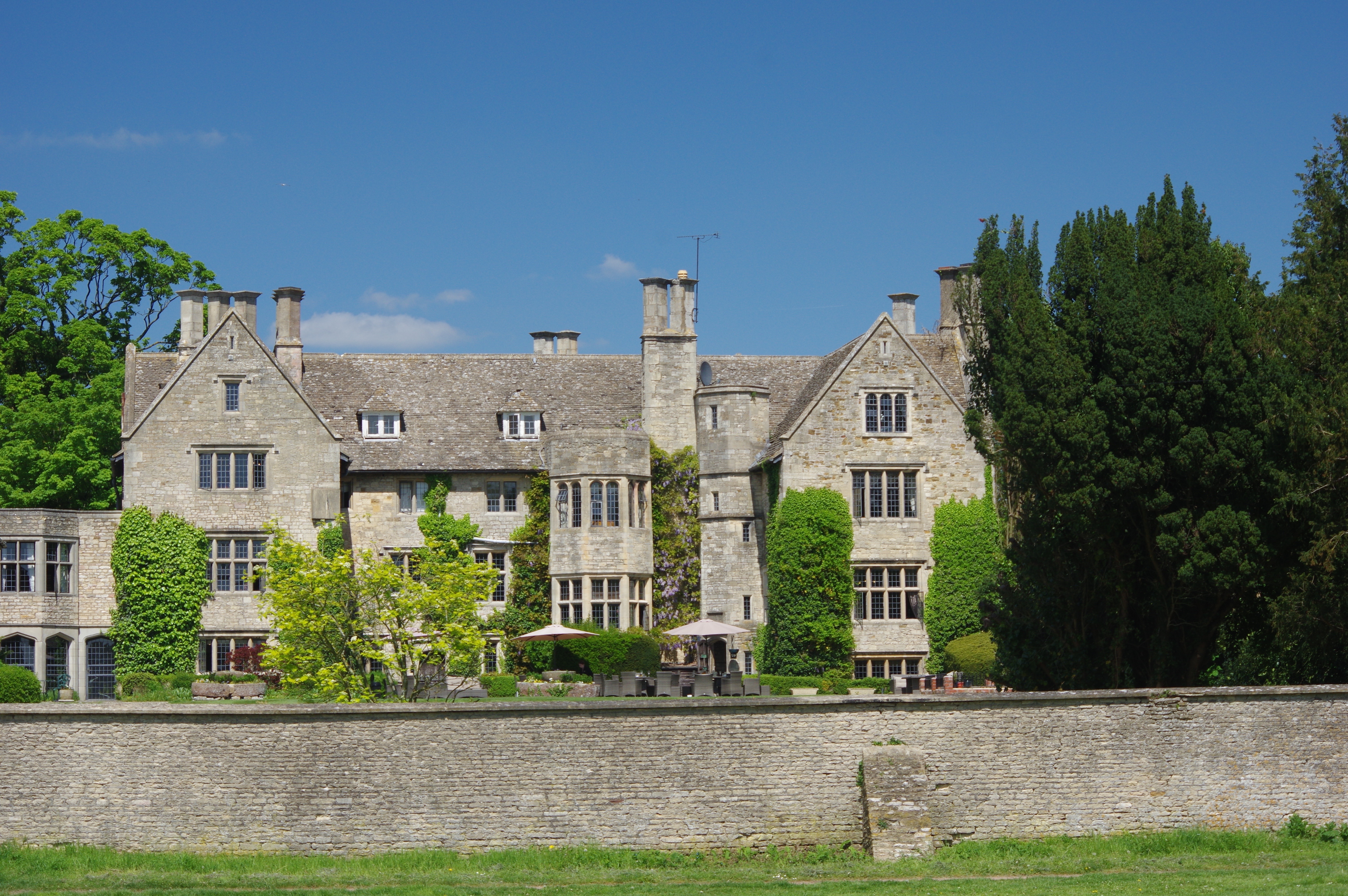
Stonehouse Court Hotel
The Stonehouse Court is a Grade II* listed manor house in Stonehouse, Gloucestershire, England which is now a hotel. It is located next to St Cyr's Church...
Nearby Amenities
Located within 500m of 51.746818,-2.320083Have you been to Millend?
Leave your review of Millend below (or comments, questions and feedback).